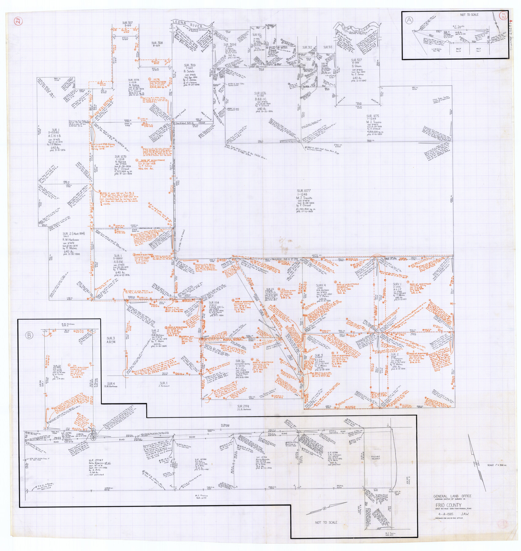
Frio County Working Sketch 21
-
Map/Doc
69295
-
Collection
General Map Collection
-
Object Dates
4/4/1985 (Creation Date)
-
Counties
Frio
-
Subjects
Surveying Working Sketch
-
Height x Width
46.1 x 43.5 inches
117.1 x 110.5 cm
-
Scale
1" = 300 varas
Part of: General Map Collection
Brewster County Sketch File N-1

Print $40.00
- Digital $50.00
Brewster County Sketch File N-1
Size 16.6 x 22.1 inches
Map/Doc 10961
Hudspeth County Rolled Sketch 45

Print $20.00
- Digital $50.00
Hudspeth County Rolled Sketch 45
1958
Size 20.5 x 35.6 inches
Map/Doc 6254
Dickens County Rolled Sketch C & C1

Print $35.00
- Digital $50.00
Dickens County Rolled Sketch C & C1
1895
Size 10.6 x 15.5 inches
Map/Doc 44297
Flight Mission No. CRE-2R, Frame 81, Jackson County

Print $20.00
- Digital $50.00
Flight Mission No. CRE-2R, Frame 81, Jackson County
1956
Size 18.6 x 22.2 inches
Map/Doc 85353
Harrison County

Print $20.00
- Digital $50.00
Harrison County
1920
Size 42.8 x 39.8 inches
Map/Doc 73173
Montgomery County

Print $20.00
- Digital $50.00
Montgomery County
1901
Size 21.9 x 25.3 inches
Map/Doc 3898
Fractional Township No. 8 South Range No. 11 East of the Indian Meridian, Indian Territory

Print $20.00
- Digital $50.00
Fractional Township No. 8 South Range No. 11 East of the Indian Meridian, Indian Territory
1898
Size 19.2 x 24.3 inches
Map/Doc 75221
Hood County Sketch File 6

Print $4.00
- Digital $50.00
Hood County Sketch File 6
Size 7.2 x 6.1 inches
Map/Doc 26579
Tom Green County

Print $20.00
- Digital $50.00
Tom Green County
1873
Size 22.4 x 36.9 inches
Map/Doc 1551
Flight Mission No. BQR-20K, Frame 7, Brazoria County

Print $20.00
- Digital $50.00
Flight Mission No. BQR-20K, Frame 7, Brazoria County
1952
Size 18.6 x 22.4 inches
Map/Doc 84109
[Surveys in Austin's Colony along the east bank of the Navidad River]
![211, [Surveys in Austin's Colony along the east bank of the Navidad River], General Map Collection](https://historictexasmaps.com/wmedia_w700/maps/211.tif.jpg)
Print $20.00
- Digital $50.00
[Surveys in Austin's Colony along the east bank of the Navidad River]
1827
Size 20.2 x 16.1 inches
Map/Doc 211
Dallas County Boundary File 9

Print $6.00
- Digital $50.00
Dallas County Boundary File 9
2008
Map/Doc 88850
You may also like
Reagan County Rolled Sketch 17A

Print $20.00
- Digital $50.00
Reagan County Rolled Sketch 17A
1948
Size 33.8 x 32.4 inches
Map/Doc 9813
Brewster County Sketch File B-1

Print $6.00
- Digital $50.00
Brewster County Sketch File B-1
1910
Size 14.2 x 8.8 inches
Map/Doc 15716
Sutton County Working Sketch 68

Print $40.00
- Digital $50.00
Sutton County Working Sketch 68
1972
Size 61.2 x 37.4 inches
Map/Doc 62411
La Salle County Working Sketch 40

Print $20.00
- Digital $50.00
La Salle County Working Sketch 40
1968
Size 23.0 x 19.2 inches
Map/Doc 70341
Dominguez Empresario Colony. February 6, 1829

Print $20.00
Dominguez Empresario Colony. February 6, 1829
2020
Size 17.2 x 21.7 inches
Map/Doc 95992
Flight Mission No. CUG-1P, Frame 20, Kleberg County

Print $20.00
- Digital $50.00
Flight Mission No. CUG-1P, Frame 20, Kleberg County
1956
Size 18.6 x 22.4 inches
Map/Doc 86110
West Part of Anderson County

Print $20.00
- Digital $50.00
West Part of Anderson County
1942
Size 41.8 x 34.3 inches
Map/Doc 77197
McClennan County

Print $20.00
- Digital $50.00
McClennan County
1880
Size 23.6 x 25.4 inches
Map/Doc 4596
The Republic County of Lamar. January 28, 1841

Print $20.00
The Republic County of Lamar. January 28, 1841
2020
Size 16.4 x 21.7 inches
Map/Doc 96203
Corpus Christi Pass, Texas

Print $20.00
- Digital $50.00
Corpus Christi Pass, Texas
1871
Size 26.1 x 18.3 inches
Map/Doc 72981
General Highway Map, Runnels County, Texas

Print $20.00
General Highway Map, Runnels County, Texas
1961
Size 24.6 x 18.2 inches
Map/Doc 79642
Jackson County Rolled Sketch 13

Print $92.00
- Digital $50.00
Jackson County Rolled Sketch 13
1975
Size 10.7 x 15.3 inches
Map/Doc 46135