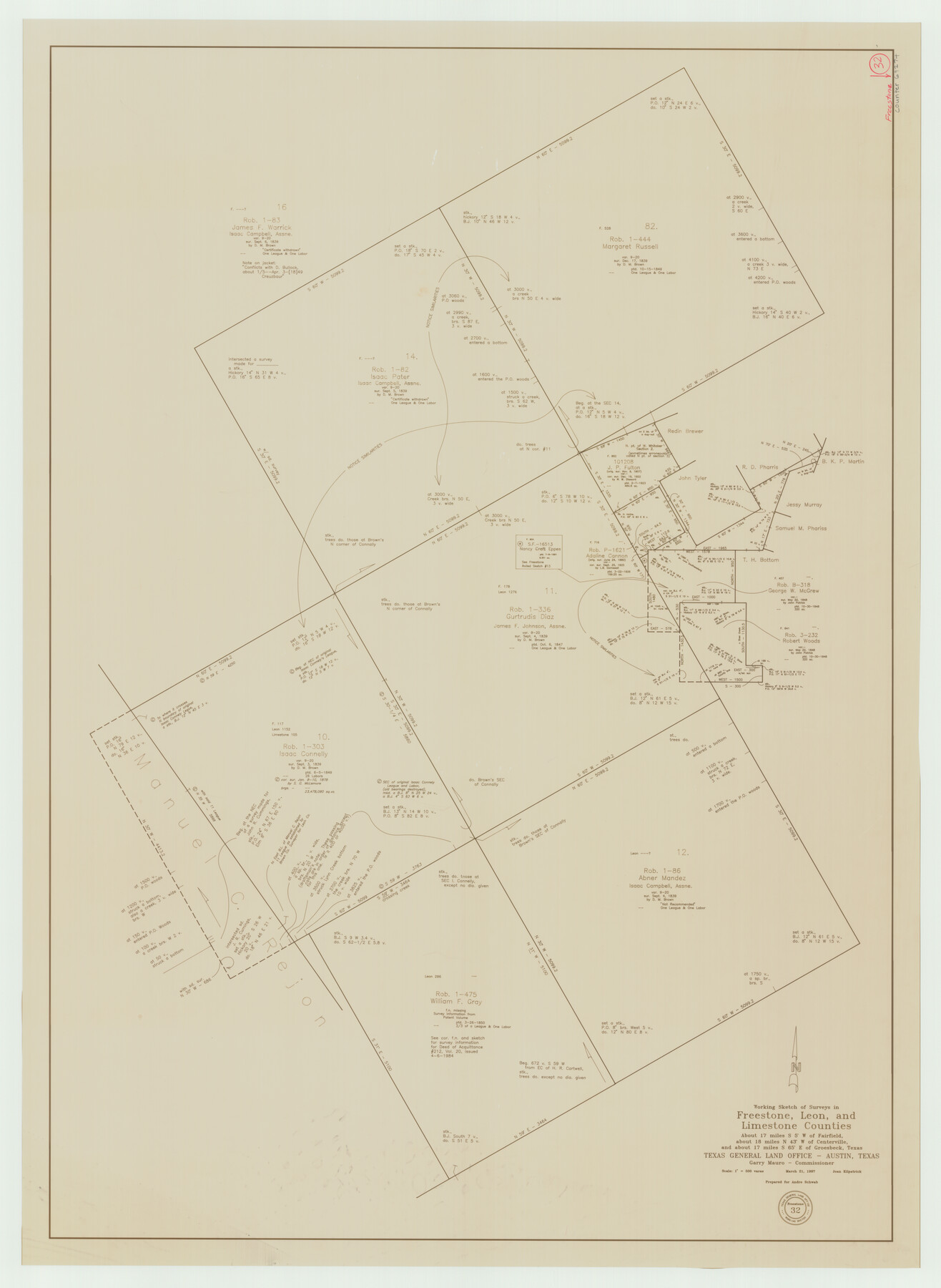
Freestone County Working Sketch 32
-
Map/Doc
69274
-
Collection
General Map Collection
-
Object Dates
3/21/1997 (Creation Date)
-
People and Organizations
Joan Kilpatrick (Draftsman)
-
Counties
Freestone Leon Limestone
-
Subjects
Surveying Working Sketch
-
Height x Width
46.5 x 34.0 inches
118.1 x 86.4 cm
-
Scale
1" = 500 varas
Part of: General Map Collection
Pecos County Working Sketch 44

Print $20.00
- Digital $50.00
Pecos County Working Sketch 44
1945
Size 29.6 x 35.0 inches
Map/Doc 71516
Hood County Working Sketch 24

Print $20.00
- Digital $50.00
Hood County Working Sketch 24
1993
Size 36.2 x 37.4 inches
Map/Doc 66218
Flight Mission No. CUG-2P, Frame 81, Kleberg County

Print $20.00
- Digital $50.00
Flight Mission No. CUG-2P, Frame 81, Kleberg County
1956
Size 18.7 x 22.2 inches
Map/Doc 86213
Smith County Sketch File 7

Print $4.00
- Digital $50.00
Smith County Sketch File 7
1848
Size 12.7 x 8.2 inches
Map/Doc 36759
Map of Eastland Co.

Print $20.00
- Digital $50.00
Map of Eastland Co.
1896
Size 43.2 x 43.1 inches
Map/Doc 78410
Schleicher County Rolled Sketch 10

Print $20.00
- Digital $50.00
Schleicher County Rolled Sketch 10
Size 28.9 x 29.1 inches
Map/Doc 7752
Foard County Sketch File 8

Print $6.00
- Digital $50.00
Foard County Sketch File 8
Size 10.5 x 11.8 inches
Map/Doc 22810
Medina County Sketch File 5

Print $8.00
- Digital $50.00
Medina County Sketch File 5
Size 8.2 x 3.8 inches
Map/Doc 31450
Henderson County Rolled Sketch 11

Print $20.00
- Digital $50.00
Henderson County Rolled Sketch 11
1915
Size 29.4 x 42.4 inches
Map/Doc 75958
Flight Mission No. DCL-7C, Frame 61, Kenedy County

Print $20.00
- Digital $50.00
Flight Mission No. DCL-7C, Frame 61, Kenedy County
1943
Size 15.4 x 15.2 inches
Map/Doc 86049
Map showing location of Texas Prison Farms surveyed for the Texas Prison System

Print $20.00
- Digital $50.00
Map showing location of Texas Prison Farms surveyed for the Texas Prison System
1934
Size 15.6 x 12.3 inches
Map/Doc 94277
Clay County Sketch File 49

Print $78.00
- Digital $50.00
Clay County Sketch File 49
1928
Size 14.2 x 8.8 inches
Map/Doc 18500
You may also like
Corpus Christi Pass

Print $20.00
- Digital $50.00
Corpus Christi Pass
Size 46.2 x 41.4 inches
Map/Doc 78455
Pecos County Rolled Sketch 79

Print $20.00
- Digital $50.00
Pecos County Rolled Sketch 79
1930
Size 28.5 x 32.6 inches
Map/Doc 7239
General Highway Map, Matagorda County, Texas

Print $20.00
General Highway Map, Matagorda County, Texas
1961
Size 24.8 x 18.2 inches
Map/Doc 79585
Map of Bandera County, Texas

Print $20.00
- Digital $50.00
Map of Bandera County, Texas
1879
Size 19.6 x 32.6 inches
Map/Doc 691
Tarrant County Sketch File 20

Print $4.00
- Digital $50.00
Tarrant County Sketch File 20
1857
Size 7.0 x 7.3 inches
Map/Doc 37723
Navarro County Sketch File 12

Print $4.00
- Digital $50.00
Navarro County Sketch File 12
Size 7.0 x 7.0 inches
Map/Doc 32322
Val Verde County Sketch File Z15

Print $22.00
- Digital $50.00
Val Verde County Sketch File Z15
1902
Size 15.2 x 17.2 inches
Map/Doc 39144
Laneer vs. Bivins, Potter County, Texas

Print $20.00
- Digital $50.00
Laneer vs. Bivins, Potter County, Texas
Size 21.2 x 19.0 inches
Map/Doc 93101
Hardin County Sketch File 64

Print $24.00
- Digital $50.00
Hardin County Sketch File 64
1936
Size 24.5 x 25.6 inches
Map/Doc 11638
The Republic County of Jefferson. Boundaries Defined, December 21, 1837

Print $20.00
The Republic County of Jefferson. Boundaries Defined, December 21, 1837
2020
Size 22.6 x 21.7 inches
Map/Doc 96197
Jeff Davis County Working Sketch 21

Print $20.00
- Digital $50.00
Jeff Davis County Working Sketch 21
1957
Size 25.2 x 44.0 inches
Map/Doc 66516
Sketch of Resurvey, Township 5 North. Block 36. Texas and Pacific Railroad Company, Dawson County

Print $20.00
- Digital $50.00
Sketch of Resurvey, Township 5 North. Block 36. Texas and Pacific Railroad Company, Dawson County
1926
Size 24.6 x 25.0 inches
Map/Doc 92572