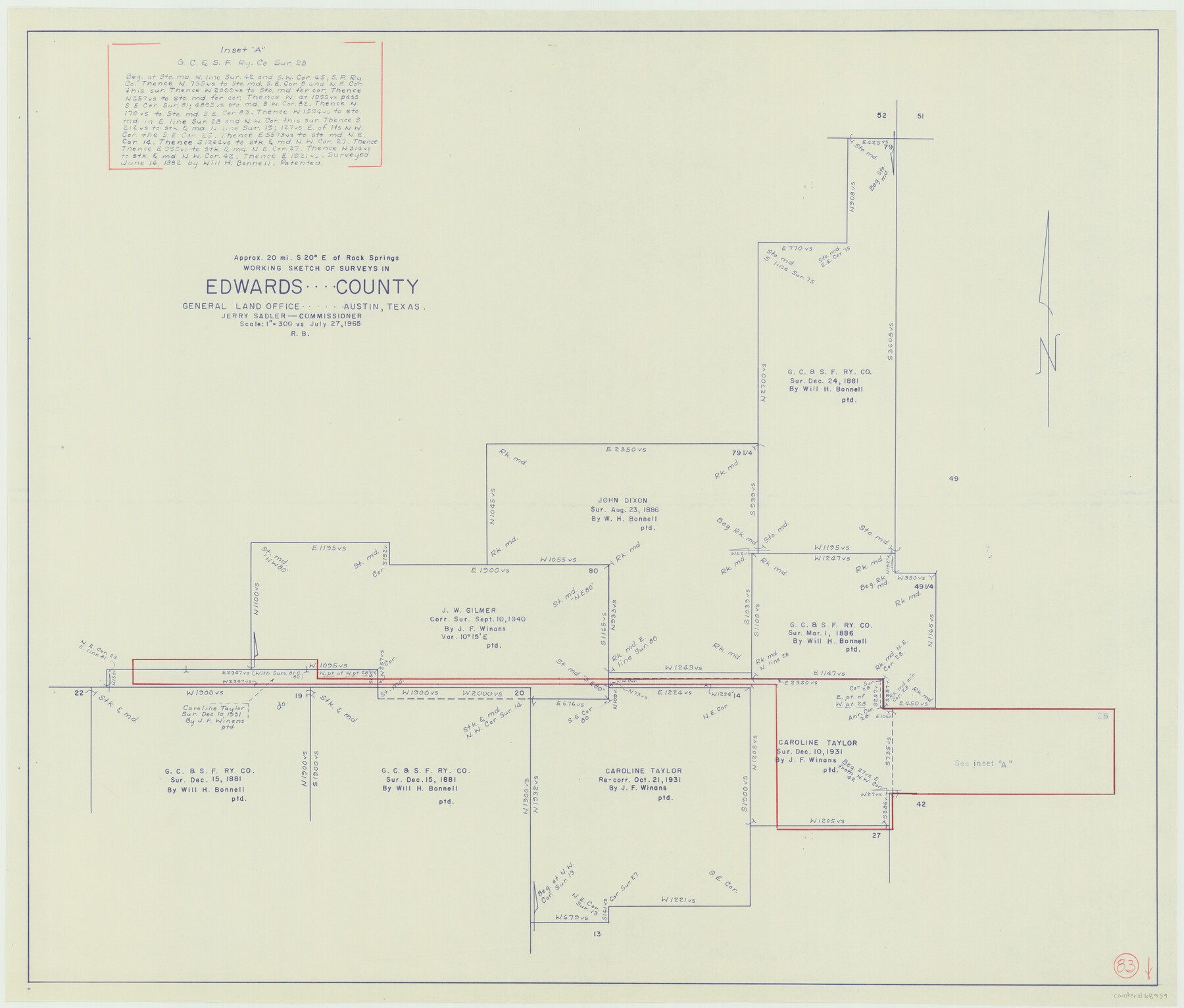
Edwards County Working Sketch 83
-
Map/Doc
68959
-
Collection
General Map Collection
-
Object Dates
7/27/1965 (Creation Date)
-
People and Organizations
Roy Buckholts (Draftsman)
-
Counties
Edwards
-
Subjects
Surveying Working Sketch
-
Height x Width
29.2 x 34.3 inches
74.2 x 87.1 cm
-
Scale
1" = 300 varas
Part of: General Map Collection
Val Verde County Working Sketch 119

Print $40.00
- Digital $50.00
Val Verde County Working Sketch 119
2005
Size 30.5 x 50.0 inches
Map/Doc 83588
Brazos River, Jones Bridge Special Map Sheet

Print $4.00
- Digital $50.00
Brazos River, Jones Bridge Special Map Sheet
1936
Size 29.8 x 28.2 inches
Map/Doc 65280


Webb County Working Sketch 36

Print $40.00
- Digital $50.00
Webb County Working Sketch 36
1940
Size 38.4 x 67.3 inches
Map/Doc 72401
[Surveys in the Jefferson District: G. A. Patillo's league, Big Sandy, Sabine Bay]
![69727, [Surveys in the Jefferson District: G. A. Patillo's league, Big Sandy, Sabine Bay], General Map Collection](https://historictexasmaps.com/wmedia_w700/maps/69727-1.tif.jpg)
Print $20.00
- Digital $50.00
[Surveys in the Jefferson District: G. A. Patillo's league, Big Sandy, Sabine Bay]
1846
Size 14.4 x 20.9 inches
Map/Doc 69727
Shelby County Working Sketch 23b

Print $20.00
- Digital $50.00
Shelby County Working Sketch 23b
1983
Size 36.6 x 24.7 inches
Map/Doc 63877
Cameron County Rolled Sketch 19

Print $20.00
- Digital $50.00
Cameron County Rolled Sketch 19
Size 27.1 x 24.3 inches
Map/Doc 5388
Eastland County Working Sketch 28

Print $20.00
- Digital $50.00
Eastland County Working Sketch 28
1952
Size 25.0 x 21.3 inches
Map/Doc 68809
Val Verde County Working Sketch 57

Print $20.00
- Digital $50.00
Val Verde County Working Sketch 57
1958
Size 29.2 x 31.0 inches
Map/Doc 72192
Map of Young County

Print $20.00
- Digital $50.00
Map of Young County
1896
Size 41.6 x 35.0 inches
Map/Doc 4172

You may also like
General Highway Map, Bell County, Texas

Print $20.00
General Highway Map, Bell County, Texas
1961
Size 18.3 x 25.1 inches
Map/Doc 79366
Kaufman County Boundary File 7

Print $16.00
- Digital $50.00
Kaufman County Boundary File 7
Size 13.9 x 8.7 inches
Map/Doc 55969
Nueces County Rolled Sketch 13

Print $20.00
- Digital $50.00
Nueces County Rolled Sketch 13
Size 22.1 x 28.9 inches
Map/Doc 6870
Sutton County Sketch File 53

Print $6.00
- Digital $50.00
Sutton County Sketch File 53
1948
Size 11.5 x 10.2 inches
Map/Doc 37532
Flight Mission No. DQN-1K, Frame 120, Calhoun County

Print $20.00
- Digital $50.00
Flight Mission No. DQN-1K, Frame 120, Calhoun County
1953
Size 18.5 x 22.2 inches
Map/Doc 84186
Dimmit County Rolled Sketch 5

Print $20.00
- Digital $50.00
Dimmit County Rolled Sketch 5
1904
Size 42.7 x 18.2 inches
Map/Doc 5715
Orange County Rolled Sketch 26

Print $20.00
- Digital $50.00
Orange County Rolled Sketch 26
1952
Size 35.2 x 43.0 inches
Map/Doc 9649
Eastland County Sketch File 14

Print $8.00
- Digital $50.00
Eastland County Sketch File 14
Size 11.5 x 9.2 inches
Map/Doc 21595
Nolan County Sketch File 16

Print $20.00
- Digital $50.00
Nolan County Sketch File 16
1938
Size 18.9 x 23.4 inches
Map/Doc 42166
Freestone County Rolled Sketch 11

Print $20.00
- Digital $50.00
Freestone County Rolled Sketch 11
Size 23.3 x 33.9 inches
Map/Doc 5912
Wharton County

Print $40.00
- Digital $50.00
Wharton County
1894
Size 55.7 x 28.0 inches
Map/Doc 87353
Brewster County Working Sketch 91

Print $40.00
- Digital $50.00
Brewster County Working Sketch 91
1975
Size 65.7 x 43.6 inches
Map/Doc 67691