Blanco County Sketch File 27
[Sketch of area west of Johnson City]
-
Map/Doc
14621
-
Collection
General Map Collection
-
Object Dates
1888/6/26 (Creation Date)
1888/12/14 (File Date)
-
People and Organizations
P.F. Appell (Surveyor/Engineer)
J.R. Tunnell (Chainman/Field Personnel)
F. Tunnell (Chainman/Field Personnel)
-
Counties
Blanco
-
Subjects
Surveying Sketch File
-
Height x Width
14.1 x 11.2 inches
35.8 x 28.4 cm
-
Medium
paper, manuscript
Part of: General Map Collection
Stonewall County Rolled Sketch 36A


Print $20.00
- Digital $50.00
Stonewall County Rolled Sketch 36A
Size 17.6 x 22.4 inches
Map/Doc 76403
Map of DeWitt County


Print $20.00
- Digital $50.00
Map of DeWitt County
1853
Size 21.5 x 25.5 inches
Map/Doc 3479
San Jacinto River, Houston Ship Channel


Print $2.00
- Digital $50.00
San Jacinto River, Houston Ship Channel
1939
Size 11.7 x 17.7 inches
Map/Doc 65150
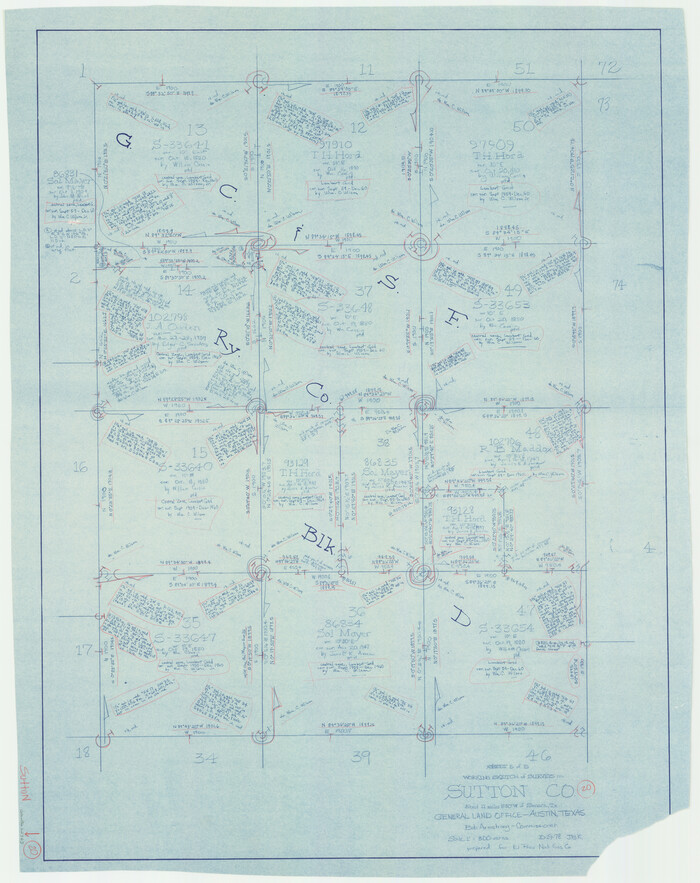
Sutton County Working Sketch 20

Print $20.00
- Digital $50.00
Sutton County Working Sketch 20
1978
Size 34.5 x 27.4 inches
Map/Doc 62363
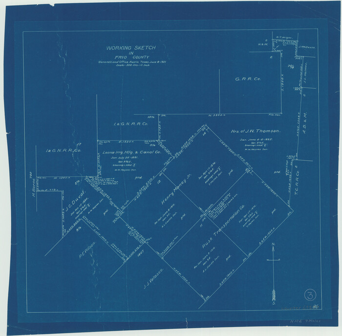
Frio County Working Sketch 3

Print $20.00
- Digital $50.00
Frio County Working Sketch 3
1921
Size 20.8 x 21.1 inches
Map/Doc 69277
Medina County Sketch File 13


Print $20.00
- Digital $50.00
Medina County Sketch File 13
Size 18.1 x 22.7 inches
Map/Doc 12069
Hudspeth County Sketch File 49
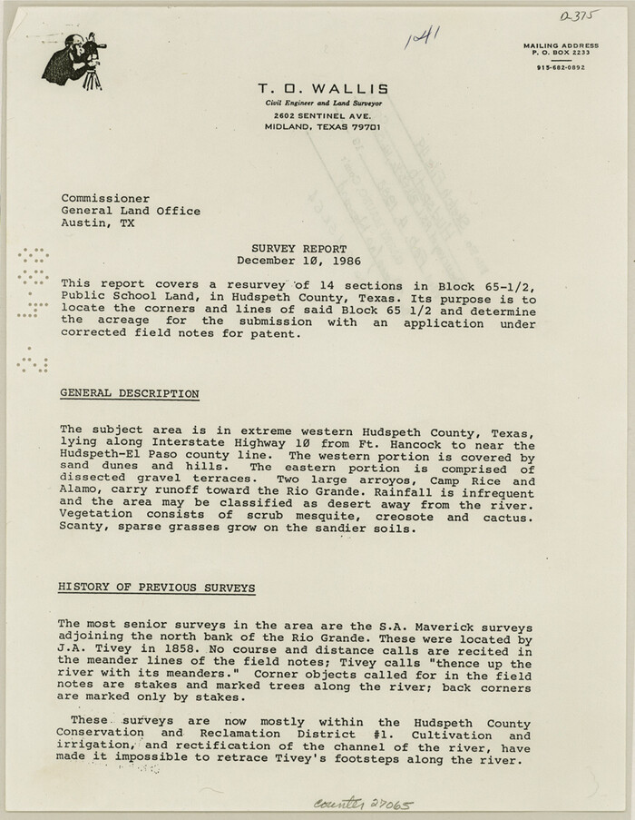

Print $18.00
- Digital $50.00
Hudspeth County Sketch File 49
1986
Size 11.2 x 8.7 inches
Map/Doc 27065
Chambers County Sketch File 8


Print $4.00
- Digital $50.00
Chambers County Sketch File 8
Size 8.0 x 10.7 inches
Map/Doc 17544
Liberty County Working Sketch 72
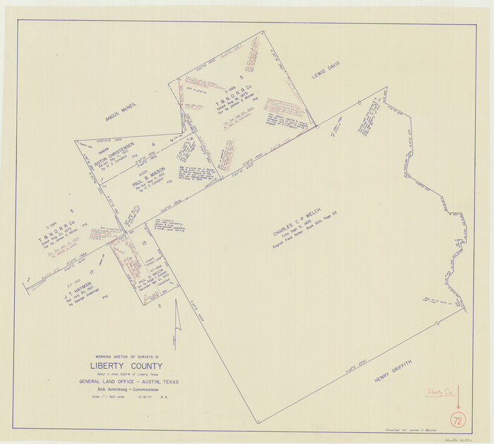

Print $20.00
- Digital $50.00
Liberty County Working Sketch 72
1977
Size 25.8 x 28.7 inches
Map/Doc 70532
Flight Mission No. BQR-13K, Frame 160, Brazoria County
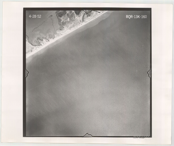

Print $20.00
- Digital $50.00
Flight Mission No. BQR-13K, Frame 160, Brazoria County
1952
Size 18.8 x 22.3 inches
Map/Doc 84085
[Sketch for Mineral Application 16696-16697, Pecos River]
![65613, [Sketch for Mineral Application 16696-16697, Pecos River], General Map Collection](https://historictexasmaps.com/wmedia_w700/maps/65613-1.tif.jpg)
![65613, [Sketch for Mineral Application 16696-16697, Pecos River], General Map Collection](https://historictexasmaps.com/wmedia_w700/maps/65613-1.tif.jpg)
Print $40.00
- Digital $50.00
[Sketch for Mineral Application 16696-16697, Pecos River]
Size 36.7 x 68.3 inches
Map/Doc 65613
You may also like
Cooke County Boundary File 19


Print $30.00
- Digital $50.00
Cooke County Boundary File 19
Size 8.7 x 4.0 inches
Map/Doc 51858
McCulloch County Sketch File 10
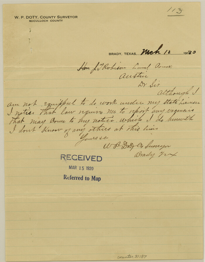

Print $8.00
- Digital $50.00
McCulloch County Sketch File 10
1920
Size 11.1 x 8.7 inches
Map/Doc 31187
Map of Colorado District


Print $20.00
- Digital $50.00
Map of Colorado District
1841
Size 21.5 x 31.2 inches
Map/Doc 3421
Harris County Working Sketch 100


Print $20.00
- Digital $50.00
Harris County Working Sketch 100
1979
Size 29.9 x 31.3 inches
Map/Doc 65992
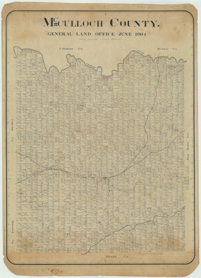
McCulloch County

Print $40.00
- Digital $50.00
McCulloch County
1904
Size 49.2 x 35.5 inches
Map/Doc 66921
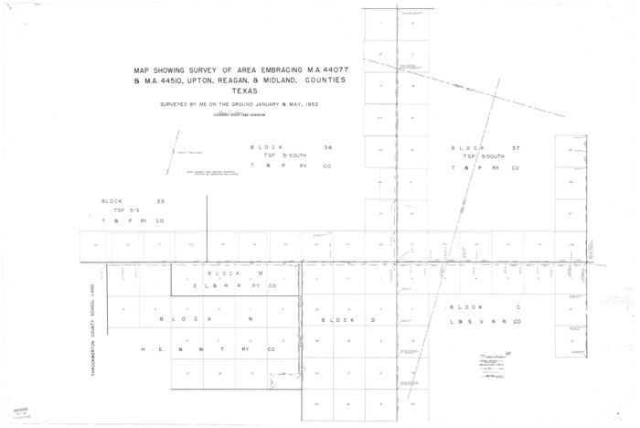
Upton County Rolled Sketch 36

Print $40.00
- Digital $50.00
Upton County Rolled Sketch 36
1952
Size 42.9 x 64.2 inches
Map/Doc 10051
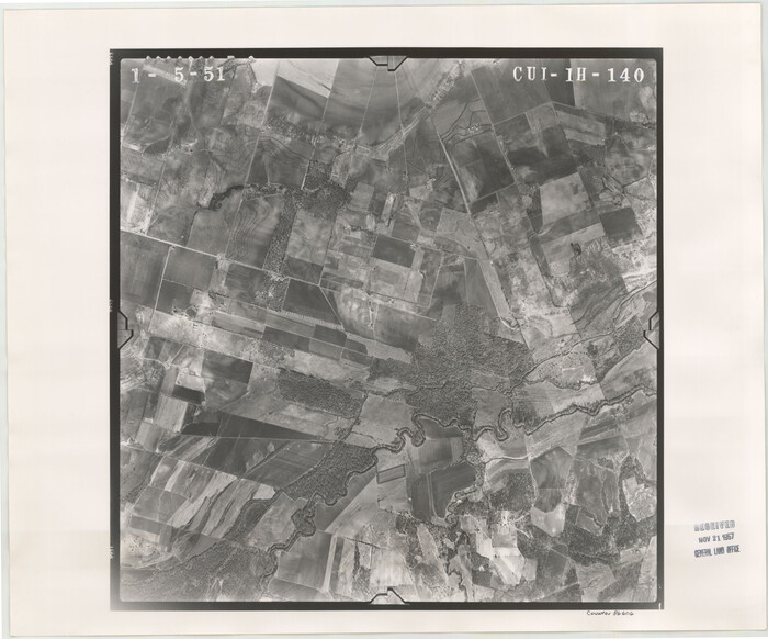
Flight Mission No. CUI-1H, Frame 140, Milam County

Print $20.00
- Digital $50.00
Flight Mission No. CUI-1H, Frame 140, Milam County
1951
Size 18.4 x 22.2 inches
Map/Doc 86606
Abandoned and Canceled Surveys - Volume 2 of 3, Counties E-K


Abandoned and Canceled Surveys - Volume 2 of 3, Counties E-K
Map/Doc 83249
[Leagues 615 ,616, and 242]
![91064, [Leagues 615 ,616, and 242], Twichell Survey Records](https://historictexasmaps.com/wmedia_w700/maps/91064-1.tif.jpg)
![91064, [Leagues 615 ,616, and 242], Twichell Survey Records](https://historictexasmaps.com/wmedia_w700/maps/91064-1.tif.jpg)
Print $20.00
- Digital $50.00
[Leagues 615 ,616, and 242]
Size 12.9 x 13.5 inches
Map/Doc 91064
Uvalde County Sketch File 6


Print $20.00
- Digital $50.00
Uvalde County Sketch File 6
Size 25.0 x 31.4 inches
Map/Doc 12526
Close-up: USA - Arkansas, Oklahoma, Louisiana, Texas
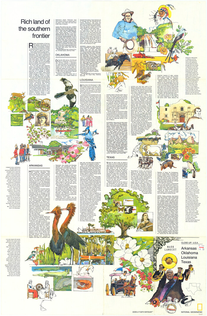

Close-up: USA - Arkansas, Oklahoma, Louisiana, Texas
1974
Size 35.1 x 23.1 inches
Map/Doc 96845

