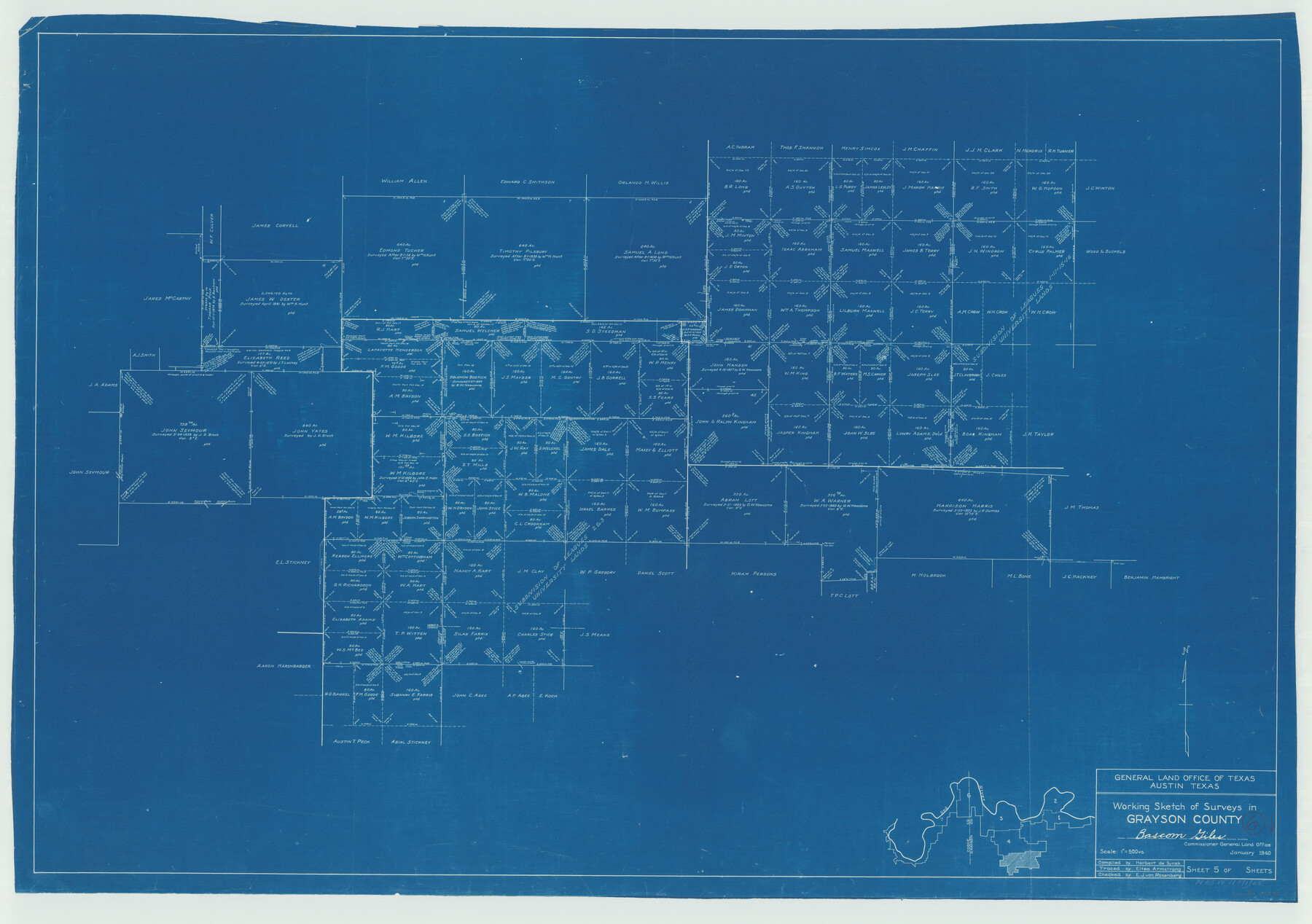
Grayson County Working Sketch 6
-
Map/Doc
63245
-
Collection
General Map Collection
-
Object Dates
1/1940 (Creation Date)
-
People and Organizations
Herbert de Synek (Compiler)
Eltea Armstrong (Tracer)
-
Counties
Grayson
-
Subjects
Surveying Working Sketch
-
Height x Width
28.6 x 40.5 inches
72.6 x 102.9 cm
-
Scale
1" = 500 varas
Part of: General Map Collection
Val Verde County Rolled Sketch 77

Print $20.00
- Digital $50.00
Val Verde County Rolled Sketch 77
1981
Size 36.2 x 37.4 inches
Map/Doc 10087
Castro County Boundary File 1b

Print $32.00
- Digital $50.00
Castro County Boundary File 1b
Size 14.1 x 8.6 inches
Map/Doc 51208
Hunt County Working Sketch 7

Print $20.00
- Digital $50.00
Hunt County Working Sketch 7
1955
Size 43.2 x 25.2 inches
Map/Doc 66354
Martin County Working Sketch 15

Print $20.00
- Digital $50.00
Martin County Working Sketch 15
1975
Size 23.9 x 19.5 inches
Map/Doc 70833
Map of The Surveyed Part of Peters Colony Texas

Print $40.00
- Digital $50.00
Map of The Surveyed Part of Peters Colony Texas
1854
Size 53.7 x 32.0 inches
Map/Doc 83007
Flight Mission No. CUG-1P, Frame 45, Kleberg County

Print $20.00
- Digital $50.00
Flight Mission No. CUG-1P, Frame 45, Kleberg County
1956
Size 18.5 x 22.2 inches
Map/Doc 86123
Kinney County Working Sketch 7

Print $20.00
- Digital $50.00
Kinney County Working Sketch 7
1908
Size 18.6 x 22.0 inches
Map/Doc 70189
Brazoria County Sketch File 41

Print $40.00
- Digital $50.00
Brazoria County Sketch File 41
1939
Size 19.5 x 26.6 inches
Map/Doc 10960
Jefferson County Sketch File 45

Print $20.00
- Digital $50.00
Jefferson County Sketch File 45
1933
Size 16.7 x 33.0 inches
Map/Doc 11879
Mitchell County Boundary File 1a

Print $32.00
- Digital $50.00
Mitchell County Boundary File 1a
Size 13.4 x 8.6 inches
Map/Doc 57344
Old Miscellaneous File 13

Print $6.00
- Digital $50.00
Old Miscellaneous File 13
1899
Size 9.7 x 6.5 inches
Map/Doc 75446
Map of Angelina County

Print $40.00
- Digital $50.00
Map of Angelina County
1899
Size 40.1 x 53.6 inches
Map/Doc 4868
You may also like
[Meander of Yellow House Creek from Northeast Corner of Section 37, Block S to Northeast corner of Section 3, Block O]
![91387, [Meander of Yellow House Creek from Northeast Corner of Section 37, Block S to Northeast corner of Section 3, Block O], Twichell Survey Records](https://historictexasmaps.com/wmedia_w700/maps/91387-1.tif.jpg)
Print $20.00
- Digital $50.00
[Meander of Yellow House Creek from Northeast Corner of Section 37, Block S to Northeast corner of Section 3, Block O]
Size 24.8 x 32.7 inches
Map/Doc 91387
Winkler County Working Sketch 19

Print $20.00
- Digital $50.00
Winkler County Working Sketch 19
1990
Size 29.4 x 25.7 inches
Map/Doc 72613
Calhoun County Sketch File 2

Print $40.00
- Digital $50.00
Calhoun County Sketch File 2
1856
Size 20.2 x 15.8 inches
Map/Doc 11032
Brewster County Rolled Sketch 81

Print $20.00
- Digital $50.00
Brewster County Rolled Sketch 81
Size 38.9 x 32.6 inches
Map/Doc 41812
Irion County Sketch File 17

Print $20.00
- Digital $50.00
Irion County Sketch File 17
Size 26.7 x 40.5 inches
Map/Doc 10617
South Sulphur River, Bonner Point Sheet

Print $20.00
- Digital $50.00
South Sulphur River, Bonner Point Sheet
1922
Size 32.9 x 35.7 inches
Map/Doc 65164
Brazoria County Sketch File 37

Print $40.00
- Digital $50.00
Brazoria County Sketch File 37
1916
Size 20.6 x 30.1 inches
Map/Doc 10959
General Highway Map, Anderson County, Texas

Print $20.00
General Highway Map, Anderson County, Texas
1961
Size 18.3 x 25.0 inches
Map/Doc 79346

Fractional Township No. 8 South Range No. 6 West of the Indian Meridian, Indian Territory

Print $20.00
- Digital $50.00
Fractional Township No. 8 South Range No. 6 West of the Indian Meridian, Indian Territory
1898
Size 19.3 x 24.4 inches
Map/Doc 75187
Old Miscellaneous File 23

Print $58.00
- Digital $50.00
Old Miscellaneous File 23
1919
Size 14.2 x 8.6 inches
Map/Doc 75600
Sulphur River, Boxelder Sheet/Cuthand Creek

Print $20.00
- Digital $50.00
Sulphur River, Boxelder Sheet/Cuthand Creek
1922
Size 29.5 x 25.1 inches
Map/Doc 65156