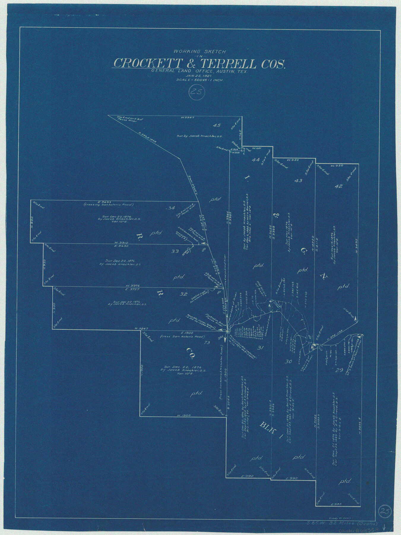
Crockett County Working Sketch 25
-
Map/Doc
68358
-
Collection
General Map Collection
-
Object Dates
1/25/1921 (Creation Date)
-
Counties
Crockett Terrell
-
Subjects
Surveying Working Sketch
-
Height x Width
23.5 x 17.6 inches
59.7 x 44.7 cm
-
Scale
1" = 500 varas
Part of: General Map Collection
Lampasas County Boundary File 2

Print $4.00
- Digital $50.00
Lampasas County Boundary File 2
Size 13.8 x 8.8 inches
Map/Doc 56095
Lampasas County Working Sketch 23

Print $20.00
- Digital $50.00
Lampasas County Working Sketch 23
2000
Size 22.9 x 36.8 inches
Map/Doc 70301
Willacy County Aerial Photograph Index Sheet 4

Print $20.00
- Digital $50.00
Willacy County Aerial Photograph Index Sheet 4
1955
Size 24.3 x 19.8 inches
Map/Doc 83759
Runnels County Sketch File 6a

Print $4.00
Runnels County Sketch File 6a
1883
Size 12.9 x 8.2 inches
Map/Doc 35442
Jefferson County Aerial Photograph Index Sheet 5

Print $20.00
- Digital $50.00
Jefferson County Aerial Photograph Index Sheet 5
1953
Size 23.3 x 16.9 inches
Map/Doc 83709
Foard County Sketch File 12

Print $4.00
- Digital $50.00
Foard County Sketch File 12
1881
Size 11.0 x 8.5 inches
Map/Doc 22814
Dawson County Sketch File D

Print $20.00
- Digital $50.00
Dawson County Sketch File D
1917
Size 30.0 x 40.3 inches
Map/Doc 10363
Right of Way and Track Map of The Wichita Falls & Southern Railroad Company

Print $40.00
- Digital $50.00
Right of Way and Track Map of The Wichita Falls & Southern Railroad Company
1942
Size 24.6 x 56.1 inches
Map/Doc 64519
Gonzales County Rolled Sketch 2

Print $20.00
- Digital $50.00
Gonzales County Rolled Sketch 2
2021
Size 24.0 x 35.9 inches
Map/Doc 96581
Morris County Rolled Sketch 2A

Print $20.00
- Digital $50.00
Morris County Rolled Sketch 2A
Size 24.0 x 18.7 inches
Map/Doc 10234
Wilbarger County Sketch File 9

Print $4.00
- Digital $50.00
Wilbarger County Sketch File 9
1885
Size 12.7 x 8.2 inches
Map/Doc 40181
Concho County Rolled Sketch 4

Print $20.00
- Digital $50.00
Concho County Rolled Sketch 4
1948
Size 47.3 x 43.6 inches
Map/Doc 8649
You may also like
Upton County Sketch File 45

Print $20.00
- Digital $50.00
Upton County Sketch File 45
1994
Size 11.3 x 8.8 inches
Map/Doc 38933
Roberts County Working Sketch 37

Print $20.00
- Digital $50.00
Roberts County Working Sketch 37
1978
Size 26.6 x 22.5 inches
Map/Doc 63563
[Area around J. E. Arnold survey]
![91885, [Area around J. E. Arnold survey], Twichell Survey Records](https://historictexasmaps.com/wmedia_w700/maps/91885-1.tif.jpg)
Print $2.00
- Digital $50.00
[Area around J. E. Arnold survey]
Size 15.3 x 8.2 inches
Map/Doc 91885
Controlled Mosaic by Jack Amman Photogrammetric Engineers, Inc - Sheet 45

Print $20.00
- Digital $50.00
Controlled Mosaic by Jack Amman Photogrammetric Engineers, Inc - Sheet 45
1954
Size 20.0 x 24.0 inches
Map/Doc 83504
Sutton County Working Sketch 30

Print $20.00
- Digital $50.00
Sutton County Working Sketch 30
1919
Size 42.6 x 16.9 inches
Map/Doc 62373
Brewster County Sketch File NS-6

Print $40.00
- Digital $50.00
Brewster County Sketch File NS-6
1944
Size 31.8 x 18.6 inches
Map/Doc 10989
Colorado County Sketch File 12

Print $20.00
- Digital $50.00
Colorado County Sketch File 12
Size 14.6 x 17.8 inches
Map/Doc 11135
Young County Working Sketch 1

Print $20.00
- Digital $50.00
Young County Working Sketch 1
1960
Size 31.1 x 41.9 inches
Map/Doc 62024
Flight Mission No. DAG-23K, Frame 165, Matagorda County

Print $20.00
- Digital $50.00
Flight Mission No. DAG-23K, Frame 165, Matagorda County
1953
Size 17.0 x 19.0 inches
Map/Doc 86503
Hunt County Working Sketch 10

Print $20.00
- Digital $50.00
Hunt County Working Sketch 10
1959
Size 31.5 x 42.8 inches
Map/Doc 66357
John N. Jane's Subdivision of Sterling County School Lands Lamb County, Texas

Print $20.00
- Digital $50.00
John N. Jane's Subdivision of Sterling County School Lands Lamb County, Texas
Size 19.9 x 23.0 inches
Map/Doc 92179
Right of Way and Track Map, Texas & New Orleans R.R. operated by the T. & N. O. R.R. Co., Rusk Branch

Print $40.00
- Digital $50.00
Right of Way and Track Map, Texas & New Orleans R.R. operated by the T. & N. O. R.R. Co., Rusk Branch
1918
Size 24.7 x 56.2 inches
Map/Doc 64243