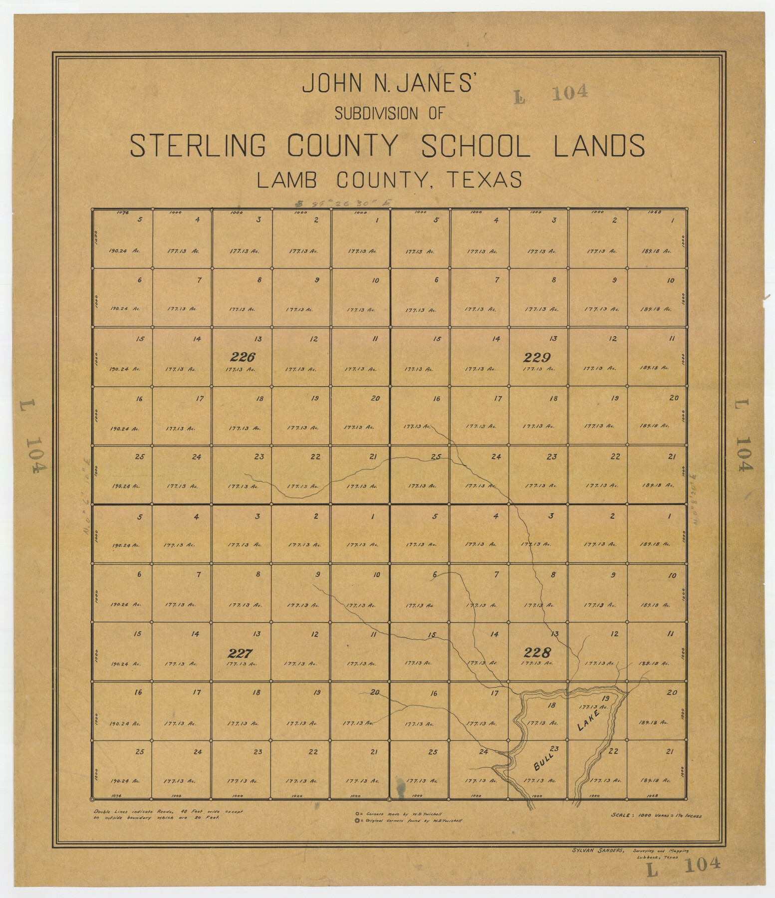
John N. Jane's Subdivision of Sterling County School Lands Lamb County, Texas
L104
-
Map/Doc
92179
-
Collection
Twichell Survey Records
-
People and Organizations
Sylvan Sanders (Surveyor/Engineer)
-
Counties
Lamb
-
Height x Width
19.9 x 23.0 inches
50.6 x 58.4 cm
Part of: Twichell Survey Records
[NE Quarter Section 11 Block CK Lubbock County, Texas]
![92871, [NE Quarter Section 11 Block CK Lubbock County, Texas], Twichell Survey Records](https://historictexasmaps.com/wmedia_w700/maps/92871-1.tif.jpg)
Print $20.00
- Digital $50.00
[NE Quarter Section 11 Block CK Lubbock County, Texas]
1949
Size 16.1 x 16.5 inches
Map/Doc 92871
[Nathaniel H. Cochran Survey and Vicinity]
![91399, [Nathaniel H. Cochran Survey and Vicinity], Twichell Survey Records](https://historictexasmaps.com/wmedia_w700/maps/91399-1.tif.jpg)
Print $20.00
- Digital $50.00
[Nathaniel H. Cochran Survey and Vicinity]
1922
Size 22.4 x 22.0 inches
Map/Doc 91399
Sketch in Lynn, Terry, Gaines and Dawson Counties

Print $40.00
- Digital $50.00
Sketch in Lynn, Terry, Gaines and Dawson Counties
1940
Size 53.2 x 33.1 inches
Map/Doc 92060
[Sketch showing sections 6, 7, 16, 32, 42 and 43]
![91775, [Sketch showing sections 6, 7, 16, 32, 42 and 43], Twichell Survey Records](https://historictexasmaps.com/wmedia_w700/maps/91775-1.tif.jpg)
Print $3.00
- Digital $50.00
[Sketch showing sections 6, 7, 16, 32, 42 and 43]
Size 14.5 x 11.2 inches
Map/Doc 91775
[I. & G. N. Blocks 1 and 2]
![90333, [I. & G. N. Blocks 1 and 2], Twichell Survey Records](https://historictexasmaps.com/wmedia_w700/maps/90333-1.tif.jpg)
Print $20.00
- Digital $50.00
[I. & G. N. Blocks 1 and 2]
Size 21.2 x 37.5 inches
Map/Doc 90333

Working Sketch Hemphill County

Print $20.00
- Digital $50.00
Working Sketch Hemphill County
1910
Size 38.3 x 6.6 inches
Map/Doc 90673
[Lynn County School Land Leagues 292, 293, PSL Block C-30, and D. W. RR. Co. Block H]
![90797, [Lynn County School Land Leagues 292, 293, PSL Block C-30, and D. W. RR. Co. Block H], Twichell Survey Records](https://historictexasmaps.com/wmedia_w700/maps/90797-1.tif.jpg)
Print $20.00
- Digital $50.00
[Lynn County School Land Leagues 292, 293, PSL Block C-30, and D. W. RR. Co. Block H]
Size 21.3 x 20.6 inches
Map/Doc 90797
First Addition to Amherst Suburban Farms

Print $20.00
- Digital $50.00
First Addition to Amherst Suburban Farms
Size 26.5 x 20.6 inches
Map/Doc 92430
[County School Land Leagues in Bailey County and Lamb County]
![90971, [County School Land Leagues in Bailey County and Lamb County], Twichell Survey Records](https://historictexasmaps.com/wmedia_w700/maps/90971-2.tif.jpg)
Print $3.00
- Digital $50.00
[County School Land Leagues in Bailey County and Lamb County]
1900
Size 10.9 x 16.6 inches
Map/Doc 90971
Blocks 14, 15, and 16 Capitol Syndicate Subdivision of Capitol Land Reservation Leagues

Print $20.00
- Digital $50.00
Blocks 14, 15, and 16 Capitol Syndicate Subdivision of Capitol Land Reservation Leagues
1907
Size 26.2 x 37.1 inches
Map/Doc 90712
Subdivision of Alexander Ranch, Cochran County, Texas

Print $20.00
- Digital $50.00
Subdivision of Alexander Ranch, Cochran County, Texas
Size 15.4 x 29.8 inches
Map/Doc 92496
You may also like
Red River County Working Sketch 73

Print $20.00
- Digital $50.00
Red River County Working Sketch 73
1979
Size 17.0 x 19.2 inches
Map/Doc 72056
Flight Mission No. DQN-5K, Frame 59, Calhoun County

Print $20.00
- Digital $50.00
Flight Mission No. DQN-5K, Frame 59, Calhoun County
1953
Size 18.7 x 22.3 inches
Map/Doc 84402
Uvalde County Working Sketch 59

Print $20.00
- Digital $50.00
Uvalde County Working Sketch 59
1989
Size 25.1 x 39.1 inches
Map/Doc 72129
Map of Harris County

Print $20.00
- Digital $50.00
Map of Harris County
1893
Size 26.6 x 34.4 inches
Map/Doc 65810
Winkler County Sketch File 3

Print $20.00
- Digital $50.00
Winkler County Sketch File 3
Size 38.6 x 33.8 inches
Map/Doc 10436
Flight Mission No. BRA-8M, Frame 113, Jefferson County

Print $20.00
- Digital $50.00
Flight Mission No. BRA-8M, Frame 113, Jefferson County
1953
Size 18.6 x 22.3 inches
Map/Doc 85609
Amended and Corrected Map of Adrian and Adrian Heights Addition Situated in Oldham County, Texas on Sections 14, 15, 38, 39 and 16 Respectively

Print $20.00
- Digital $50.00
Amended and Corrected Map of Adrian and Adrian Heights Addition Situated in Oldham County, Texas on Sections 14, 15, 38, 39 and 16 Respectively
Size 31.5 x 43.5 inches
Map/Doc 89801
Gray County Working Sketch 7

Print $20.00
- Digital $50.00
Gray County Working Sketch 7
1971
Size 41.3 x 28.7 inches
Map/Doc 63238
Burleson County Working Sketch 32

Print $20.00
- Digital $50.00
Burleson County Working Sketch 32
1981
Size 26.3 x 13.5 inches
Map/Doc 67751
Presidio County Sketch File 90

Print $6.00
- Digital $50.00
Presidio County Sketch File 90
Size 16.1 x 11.0 inches
Map/Doc 34761
Briscoe County Sketch File 4

Print $40.00
- Digital $50.00
Briscoe County Sketch File 4
Size 26.0 x 33.5 inches
Map/Doc 10993
Flight Mission No. CGI-1N, Frame 183, Cameron County

Print $20.00
- Digital $50.00
Flight Mission No. CGI-1N, Frame 183, Cameron County
1955
Size 18.8 x 22.2 inches
Map/Doc 84518