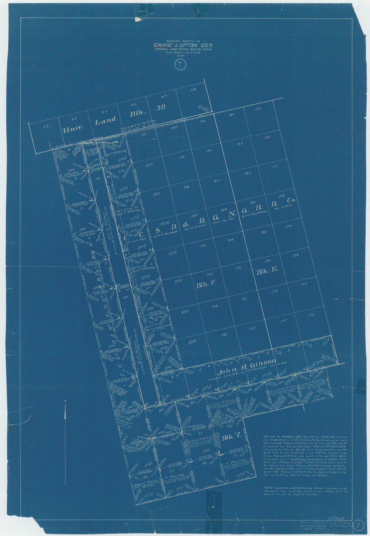
Crane County Working Sketch 7
-
Map/Doc
68284
-
Collection
General Map Collection
-
Object Dates
6/15/1929 (Creation Date)
-
People and Organizations
J. Bascom Giles (Draftsman)
-
Counties
Crane Upton
-
Subjects
Surveying Working Sketch
-
Height x Width
33.6 x 23.2 inches
85.3 x 58.9 cm
-
Scale
1" = 1000 varas
Part of: General Map Collection
Wheeler County Boundary File 1

Print $24.00
- Digital $50.00
Wheeler County Boundary File 1
Size 14.4 x 8.7 inches
Map/Doc 59856
[Corpus Christi & Rio Grande Certificates]
![64492, [Corpus Christi & Rio Grande Certificates], General Map Collection](https://historictexasmaps.com/wmedia_w700/pdf_converted_jpg/qi_pdf_thumbnail_19225.jpg)
Print $16.00
- Digital $50.00
[Corpus Christi & Rio Grande Certificates]
1874
Size 14.3 x 8.7 inches
Map/Doc 64492
Hidalgo County Rolled Sketch 13

Print $20.00
- Digital $50.00
Hidalgo County Rolled Sketch 13
1960
Size 19.0 x 31.4 inches
Map/Doc 6212
Flight Mission No. BRA-8M, Frame 130, Jefferson County

Print $20.00
- Digital $50.00
Flight Mission No. BRA-8M, Frame 130, Jefferson County
1953
Size 15.8 x 15.7 inches
Map/Doc 85626
Van Zandt County Working Sketch 4

Print $20.00
- Digital $50.00
Van Zandt County Working Sketch 4
1929
Size 16.3 x 26.8 inches
Map/Doc 72253
Trinity River, Waxahachie Sheet/Waxahachie Creek

Print $6.00
- Digital $50.00
Trinity River, Waxahachie Sheet/Waxahachie Creek
1931
Size 30.1 x 32.8 inches
Map/Doc 65237
Pecos County Rolled Sketch 115

Print $20.00
- Digital $50.00
Pecos County Rolled Sketch 115
1943
Size 24.0 x 21.6 inches
Map/Doc 7257
Presidio County Rolled Sketch 33

Print $40.00
- Digital $50.00
Presidio County Rolled Sketch 33
Size 57.7 x 42.3 inches
Map/Doc 9772
Bee County Boundary File 3

Print $20.00
- Digital $50.00
Bee County Boundary File 3
Size 22.3 x 16.2 inches
Map/Doc 50440
Fort Bend County Boundary File 1

Print $80.00
- Digital $50.00
Fort Bend County Boundary File 1
Size 25.0 x 69.7 inches
Map/Doc 53553
Flight Mission No. DCL-7C, Frame 36, Kenedy County

Print $20.00
- Digital $50.00
Flight Mission No. DCL-7C, Frame 36, Kenedy County
1943
Size 18.5 x 22.4 inches
Map/Doc 86024
Potter County Sketch File 17

Print $16.00
- Digital $50.00
Potter County Sketch File 17
1920
Size 11.2 x 8.7 inches
Map/Doc 34403
You may also like
Sutton County Working Sketch 50

Print $20.00
- Digital $50.00
Sutton County Working Sketch 50
1955
Size 27.4 x 22.2 inches
Map/Doc 62393
Blocks JD, B, and A3

Print $3.00
- Digital $50.00
Blocks JD, B, and A3
Size 11.5 x 13.8 inches
Map/Doc 90743
Gillespie County Sketch File 2

Print $40.00
- Digital $50.00
Gillespie County Sketch File 2
1847
Size 12.8 x 15.5 inches
Map/Doc 24127

San Patricio County Rolled Sketch 37

Print $127.00
- Digital $50.00
San Patricio County Rolled Sketch 37
Size 10.3 x 15.2 inches
Map/Doc 48888
Dickens County Sketch File L

Print $22.00
- Digital $50.00
Dickens County Sketch File L
1909
Size 7.7 x 9.0 inches
Map/Doc 20892
Uvalde County Sketch File 24

Print $42.00
- Digital $50.00
Uvalde County Sketch File 24
1926
Size 19.4 x 29.9 inches
Map/Doc 12536
Edwards County Sketch File 15

Print $10.00
- Digital $50.00
Edwards County Sketch File 15
1893
Size 12.9 x 8.5 inches
Map/Doc 21715
Flight Mission No. DQN-6K, Frame 10, Calhoun County

Print $20.00
- Digital $50.00
Flight Mission No. DQN-6K, Frame 10, Calhoun County
1953
Size 18.5 x 22.3 inches
Map/Doc 84432
Morris County Working Sketch 5

Print $20.00
- Digital $50.00
Morris County Working Sketch 5
1965
Size 24.7 x 18.9 inches
Map/Doc 71204
Trinity County Sketch File 30

Print $8.00
- Digital $50.00
Trinity County Sketch File 30
1891
Size 14.2 x 8.9 inches
Map/Doc 38566
Blanco County Working Sketch 42

Print $20.00
- Digital $50.00
Blanco County Working Sketch 42
1986
Size 35.1 x 30.7 inches
Map/Doc 67402