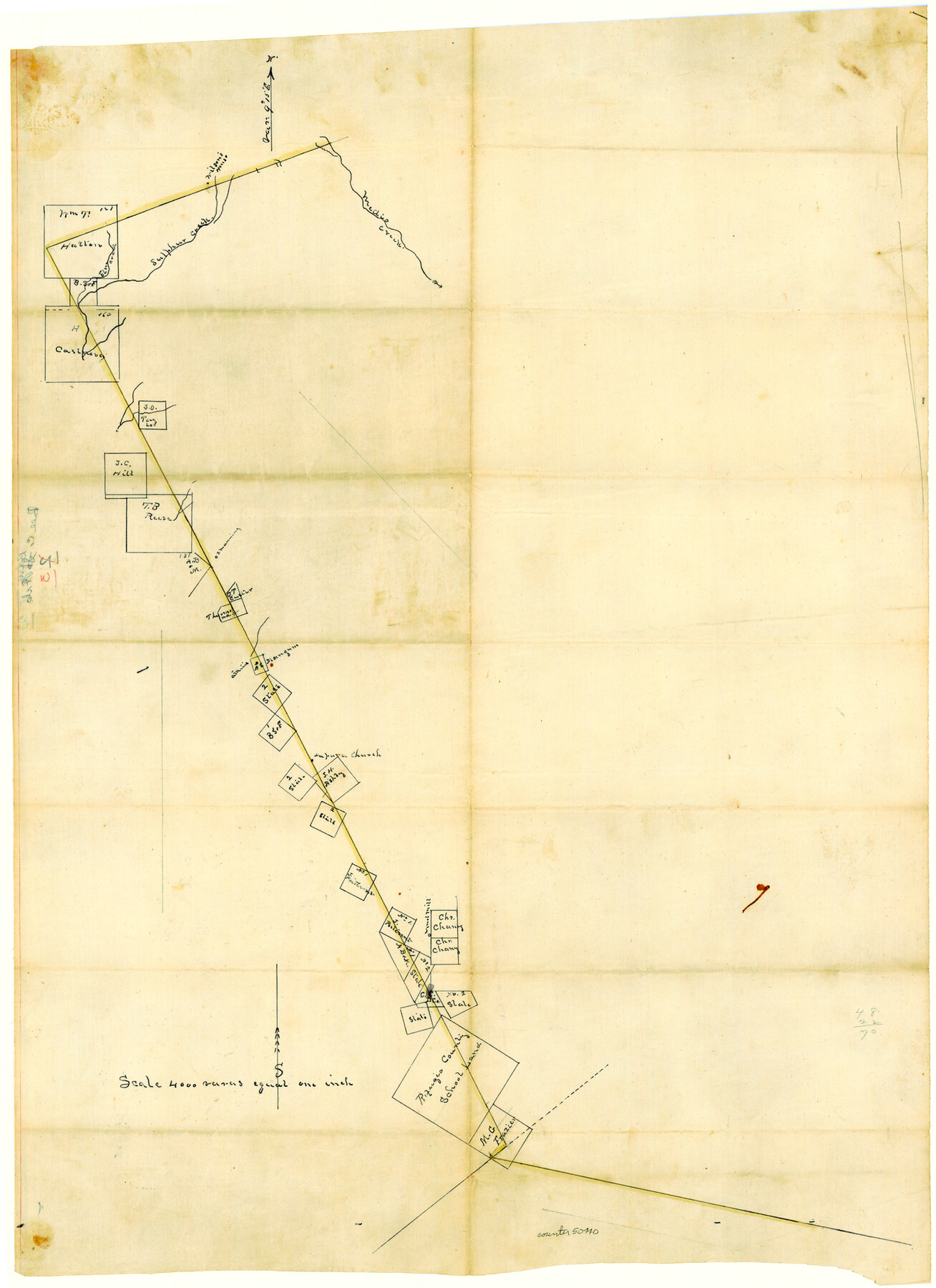
Bee County Boundary File 3
-
Map/Doc
50440
-
Collection
General Map Collection
-
Counties
Bee
-
Subjects
County Boundaries
-
Height x Width
22.3 x 16.2 inches
56.6 x 41.1 cm
Part of: General Map Collection
Briscoe County Sketch File H-1

Print $40.00
- Digital $50.00
Briscoe County Sketch File H-1
Size 21.7 x 18.2 inches
Map/Doc 11006

Collin County Boundary File 1

Print $8.00
- Digital $50.00
Collin County Boundary File 1
Size 12.7 x 8.1 inches
Map/Doc 51678
Crockett County Rolled Sketch 26

Print $20.00
- Digital $50.00
Crockett County Rolled Sketch 26
Size 33.7 x 40.9 inches
Map/Doc 5585
Reeves County Working Sketch 4

Print $20.00
- Digital $50.00
Reeves County Working Sketch 4
1922
Size 32.5 x 33.1 inches
Map/Doc 63446
Bailey County Working Sketch 3

Print $20.00
- Digital $50.00
Bailey County Working Sketch 3
1922
Size 17.3 x 28.0 inches
Map/Doc 67590
Hopkins County Sketch File 4

Print $47.00
- Digital $50.00
Hopkins County Sketch File 4
Size 21.2 x 18.4 inches
Map/Doc 4565
Texas Intracoastal Waterway, Aransas Bay to Aransas Pass

Print $20.00
- Digital $50.00
Texas Intracoastal Waterway, Aransas Bay to Aransas Pass
1957
Size 38.9 x 27.6 inches
Map/Doc 73437
United States - Gulf Coast - From Latitude 26° 33' to the Rio Grande Texas

Print $20.00
- Digital $50.00
United States - Gulf Coast - From Latitude 26° 33' to the Rio Grande Texas
1913
Size 18.3 x 23.6 inches
Map/Doc 72844
Flight Mission No. BRA-16M, Frame 161, Jefferson County

Print $20.00
- Digital $50.00
Flight Mission No. BRA-16M, Frame 161, Jefferson County
1953
Size 18.5 x 22.3 inches
Map/Doc 85759
Montgomery County Sketch File 36a

Print $8.00
- Digital $50.00
Montgomery County Sketch File 36a
1953
Size 14.4 x 8.8 inches
Map/Doc 31912
Medina County Working Sketch 17

Print $20.00
- Digital $50.00
Medina County Working Sketch 17
1979
Size 26.8 x 34.5 inches
Map/Doc 70932
You may also like
Flight Mission No. DQN-7K, Frame 7, Calhoun County

Print $20.00
- Digital $50.00
Flight Mission No. DQN-7K, Frame 7, Calhoun County
1953
Size 18.5 x 22.2 inches
Map/Doc 84458
General Highway Map. Detail of Cities and Towns in Fort Bend County, Texas

Print $20.00
General Highway Map. Detail of Cities and Towns in Fort Bend County, Texas
1961
Size 18.1 x 24.5 inches
Map/Doc 79470
Live Oak County Rolled Sketch 10

Print $20.00
- Digital $50.00
Live Oak County Rolled Sketch 10
1983
Size 38.4 x 43.9 inches
Map/Doc 9456
Flight Mission No. BQY-4M, Frame 39, Harris County

Print $20.00
- Digital $50.00
Flight Mission No. BQY-4M, Frame 39, Harris County
1953
Size 18.6 x 22.3 inches
Map/Doc 85254
Armstrong County Boundary File 5

Print $8.00
- Digital $50.00
Armstrong County Boundary File 5
Size 11.2 x 8.9 inches
Map/Doc 50149
[Sabine Pass]
![73343, [Sabine Pass], General Map Collection](https://historictexasmaps.com/wmedia_w700/maps/73343.tif.jpg)
Print $20.00
- Digital $50.00
[Sabine Pass]
1916
Size 18.5 x 26.5 inches
Map/Doc 73343
[Townships 1 & 2, Blocks 56, 57]
![92927, [Townships 1 & 2, Blocks 56, 57], Twichell Survey Records](https://historictexasmaps.com/wmedia_w700/maps/92927-1.tif.jpg)
Print $20.00
- Digital $50.00
[Townships 1 & 2, Blocks 56, 57]
Size 19.7 x 22.8 inches
Map/Doc 92927
Brazoria County Rolled Sketch 25

Print $40.00
- Digital $50.00
Brazoria County Rolled Sketch 25
1935
Size 50.8 x 33.5 inches
Map/Doc 8928
Leon County Working Sketch 52a

Print $20.00
- Digital $50.00
Leon County Working Sketch 52a
1982
Size 35.1 x 42.8 inches
Map/Doc 70451
Flight Mission No. BQY-4M, Frame 126, Harris County

Print $20.00
- Digital $50.00
Flight Mission No. BQY-4M, Frame 126, Harris County
1953
Size 18.5 x 22.2 inches
Map/Doc 85295
Van Zandt County Sketch File 21

Print $4.00
- Digital $50.00
Van Zandt County Sketch File 21
1858
Size 12.1 x 7.7 inches
Map/Doc 39430
Washburn situated in Armstrong County, Texas on surveys 62, 63, 98 & 99, Block B4

Print $20.00
- Digital $50.00
Washburn situated in Armstrong County, Texas on surveys 62, 63, 98 & 99, Block B4
Size 44.2 x 31.4 inches
Map/Doc 90261