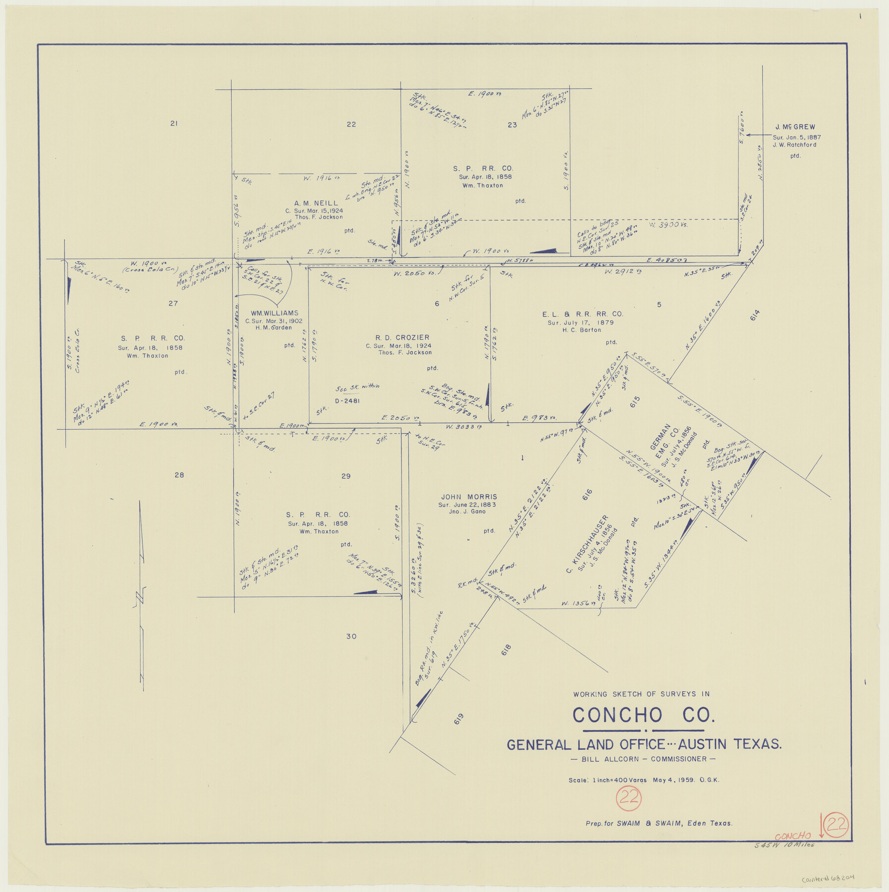
Concho County Working Sketch 22
-
Map/Doc
68204
-
Collection
General Map Collection
-
Object Dates
5/4/1959 (Creation Date)
-
People and Organizations
Otto G. Kurio (Draftsman)
-
Counties
Concho
-
Subjects
Surveying Working Sketch
-
Height x Width
25.2 x 25.2 inches
64.0 x 64.0 cm
-
Scale
1" = 400 varas
Part of: General Map Collection
Galveston County Sketch File 11a

Print $4.00
- Digital $50.00
Galveston County Sketch File 11a
1877
Size 7.8 x 8.4 inches
Map/Doc 23376
University Land in Hudspeth County showing Mineral Surveys in Blocks A, B, C, D, E, F, G, H, I, J, K, L, M, N

Print $40.00
- Digital $50.00
University Land in Hudspeth County showing Mineral Surveys in Blocks A, B, C, D, E, F, G, H, I, J, K, L, M, N
Size 39.7 x 48.4 inches
Map/Doc 2421
Orange County Working Sketch 45

Print $20.00
- Digital $50.00
Orange County Working Sketch 45
1982
Size 25.6 x 24.2 inches
Map/Doc 71377
Flight Mission No. DQN-2K, Frame 7, Calhoun County

Print $20.00
- Digital $50.00
Flight Mission No. DQN-2K, Frame 7, Calhoun County
1953
Size 18.4 x 22.1 inches
Map/Doc 84224
Erath County Sketch File 12a

Print $4.00
- Digital $50.00
Erath County Sketch File 12a
1871
Size 12.7 x 8.2 inches
Map/Doc 22283
Carte du Spits-Berg, et partie de la Côte de Galles hams-kes au nouveau Groenland

Print $20.00
- Digital $50.00
Carte du Spits-Berg, et partie de la Côte de Galles hams-kes au nouveau Groenland
1782
Size 13.8 x 19.8 inches
Map/Doc 97123
San Patricio County Working Sketch 2

Print $20.00
- Digital $50.00
San Patricio County Working Sketch 2
1911
Size 18.6 x 15.1 inches
Map/Doc 63764
Cameron County

Print $20.00
- Digital $50.00
Cameron County
1976
Size 32.2 x 39.0 inches
Map/Doc 73098
Flight Mission No. BRA-3M, Frame 124, Jefferson County

Print $20.00
- Digital $50.00
Flight Mission No. BRA-3M, Frame 124, Jefferson County
1953
Size 18.6 x 21.4 inches
Map/Doc 85398
McLennan County Working Sketch 7

Print $20.00
- Digital $50.00
McLennan County Working Sketch 7
1959
Size 22.6 x 23.9 inches
Map/Doc 70700
Fractional Township No. 10 South Range No. 25 East of the Indian Meridian, Indian Territory

Print $20.00
- Digital $50.00
Fractional Township No. 10 South Range No. 25 East of the Indian Meridian, Indian Territory
1898
Size 19.2 x 24.3 inches
Map/Doc 75244
Foard County Working Sketch 9

Print $20.00
- Digital $50.00
Foard County Working Sketch 9
1977
Size 47.0 x 27.2 inches
Map/Doc 69200
You may also like
Bee County Working Sketch 6

Print $20.00
- Digital $50.00
Bee County Working Sketch 6
1934
Size 33.8 x 24.1 inches
Map/Doc 67256
Uvalde County Working Sketch 25

Print $20.00
- Digital $50.00
Uvalde County Working Sketch 25
1954
Size 24.5 x 33.3 inches
Map/Doc 72095
Roberts County Rolled Sketch 3

Print $40.00
- Digital $50.00
Roberts County Rolled Sketch 3
Size 38.0 x 49.7 inches
Map/Doc 8355
Presidio County Boundary File 3b

Print $14.00
- Digital $50.00
Presidio County Boundary File 3b
Size 13.4 x 8.2 inches
Map/Doc 58076
Sketch Showing Division Fence Shelton- Matador, Oldham County

Print $20.00
- Digital $50.00
Sketch Showing Division Fence Shelton- Matador, Oldham County
Size 21.6 x 24.4 inches
Map/Doc 91484
Cooke County Sketch File 29

Print $16.00
- Digital $50.00
Cooke County Sketch File 29
1873
Size 8.2 x 11.0 inches
Map/Doc 19283
Brewster County Rolled Sketch 60

Print $20.00
- Digital $50.00
Brewster County Rolled Sketch 60
Size 25.0 x 37.5 inches
Map/Doc 8484
Navarro County Sketch File 9

Print $2.00
- Digital $50.00
Navarro County Sketch File 9
Size 8.3 x 9.1 inches
Map/Doc 32317
Flight Mission No. BRA-16M, Frame 97, Jefferson County

Print $20.00
- Digital $50.00
Flight Mission No. BRA-16M, Frame 97, Jefferson County
1953
Size 18.5 x 22.4 inches
Map/Doc 85709
Haskell County Sketch File 15a

Print $4.00
- Digital $50.00
Haskell County Sketch File 15a
Size 9.8 x 8.6 inches
Map/Doc 26161
Texas Highway Map Points of Interest, Recreational Facilities Guide, Special Events Calendar [Recto]
![94187, Texas Highway Map Points of Interest, Recreational Facilities Guide, Special Events Calendar [Recto], General Map Collection](https://historictexasmaps.com/wmedia_w700/maps/94187.tif.jpg)
Texas Highway Map Points of Interest, Recreational Facilities Guide, Special Events Calendar [Recto]
1963
Size 30.9 x 18.2 inches
Map/Doc 94187
Flight Mission No. CUG-2P, Frame 86, Kleberg County

Print $20.00
- Digital $50.00
Flight Mission No. CUG-2P, Frame 86, Kleberg County
1956
Size 18.5 x 22.2 inches
Map/Doc 86218