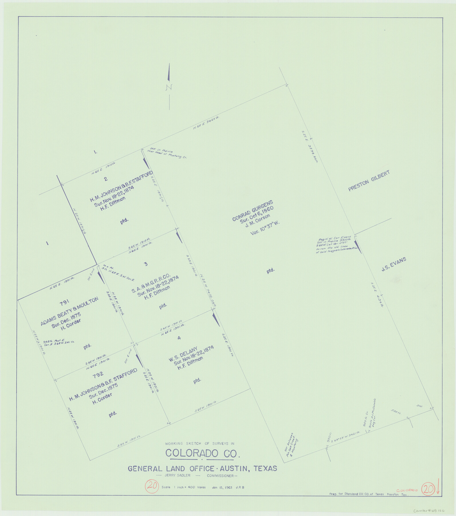
Colorado County Working Sketch 20
-
Map/Doc
68120
-
Collection
General Map Collection
-
Object Dates
1/15/1963 (Creation Date)
-
Counties
Colorado
-
Subjects
Surveying Working Sketch
-
Height x Width
27.9 x 24.7 inches
70.9 x 62.7 cm
-
Scale
1" = 400 varas
Part of: General Map Collection
Falls County Working Sketch 5

Print $40.00
- Digital $50.00
Falls County Working Sketch 5
2008
Size 34.3 x 56.6 inches
Map/Doc 88885
Reeves County Rolled Sketch 40

Print $20.00
- Digital $50.00
Reeves County Rolled Sketch 40
2019
Size 18.1 x 24.2 inches
Map/Doc 95826
Montgomery Co.

Print $20.00
- Digital $50.00
Montgomery Co.
1840
Size 34.0 x 30.8 inches
Map/Doc 3191
![94186, Texas [Verso], General Map Collection](https://historictexasmaps.com/wmedia_w700/maps/94186.tif.jpg)
Fractional Township No. 8 South Range No. 14 East of the Indian Meridian, Indian Territory

Print $20.00
- Digital $50.00
Fractional Township No. 8 South Range No. 14 East of the Indian Meridian, Indian Territory
1896
Size 19.2 x 24.3 inches
Map/Doc 75225
Sterling County Sketch File 17

Print $8.00
- Digital $50.00
Sterling County Sketch File 17
1936
Size 11.2 x 8.8 inches
Map/Doc 37154
Leon County Rolled Sketch 18

Print $20.00
- Digital $50.00
Leon County Rolled Sketch 18
1982
Size 33.1 x 34.8 inches
Map/Doc 6604
Montgomery County Sketch File 28

Print $22.00
- Digital $50.00
Montgomery County Sketch File 28
Size 14.1 x 8.7 inches
Map/Doc 31873
State of Texas

Print $40.00
- Digital $50.00
State of Texas
1948
Size 44.6 x 56.8 inches
Map/Doc 78634
Flight Mission No. BRE-1P, Frame 74, Nueces County

Print $20.00
- Digital $50.00
Flight Mission No. BRE-1P, Frame 74, Nueces County
1956
Size 18.5 x 22.3 inches
Map/Doc 86656
Flight Mission No. BRA-7M, Frame 180, Jefferson County

Print $20.00
- Digital $50.00
Flight Mission No. BRA-7M, Frame 180, Jefferson County
1953
Size 18.7 x 22.4 inches
Map/Doc 85548
Map of Mills Co.

Print $20.00
- Digital $50.00
Map of Mills Co.
1887
Size 32.7 x 41.1 inches
Map/Doc 78439
You may also like
Culberson County Sketch File 23

Print $10.00
- Digital $50.00
Culberson County Sketch File 23
1938
Size 14.2 x 8.6 inches
Map/Doc 20238
Liberty County Sketch File 27

Print $5.00
- Digital $50.00
Liberty County Sketch File 27
Size 11.5 x 9.3 inches
Map/Doc 29948
The Chief Justice County of Red River. Undated

Print $20.00
The Chief Justice County of Red River. Undated
2020
Size 16.6 x 21.8 inches
Map/Doc 96065
Hudspeth County Sketch File 24

Print $20.00
- Digital $50.00
Hudspeth County Sketch File 24
1936
Size 17.8 x 16.7 inches
Map/Doc 11802
Hockley County Working Sketch 2

Print $20.00
- Digital $50.00
Hockley County Working Sketch 2
1960
Size 17.8 x 35.7 inches
Map/Doc 66192
Houston Ship Channel, Alexander Island to Carpenter Bayou

Print $20.00
- Digital $50.00
Houston Ship Channel, Alexander Island to Carpenter Bayou
1973
Size 35.2 x 46.9 inches
Map/Doc 69910
Agua Fria Quadrangle

Print $20.00
- Digital $50.00
Agua Fria Quadrangle
1917
Size 17.2 x 21.1 inches
Map/Doc 90136
Hamilton County Working Sketch 32

Print $20.00
- Digital $50.00
Hamilton County Working Sketch 32
1993
Size 26.3 x 34.3 inches
Map/Doc 63370
Presidio County Rolled Sketch 28

Print $40.00
- Digital $50.00
Presidio County Rolled Sketch 28
1886
Size 25.7 x 120.0 inches
Map/Doc 76139
Flight Mission No. DQN-1K, Frame 133, Calhoun County

Print $20.00
- Digital $50.00
Flight Mission No. DQN-1K, Frame 133, Calhoun County
1953
Size 18.6 x 22.4 inches
Map/Doc 84196
[Part of Block 3, Leagues 83, 84, 95, 96, 104, 105, 116-113, 127-132, 140-142]
![90572, [Part of Block 3, Leagues 83, 84, 95, 96, 104, 105, 116-113, 127-132, 140-142], Twichell Survey Records](https://historictexasmaps.com/wmedia_w700/maps/90572-1.tif.jpg)
Print $20.00
- Digital $50.00
[Part of Block 3, Leagues 83, 84, 95, 96, 104, 105, 116-113, 127-132, 140-142]
Size 25.9 x 31.6 inches
Map/Doc 90572
Concho County Boundary File 1

Print $36.00
- Digital $50.00
Concho County Boundary File 1
Size 14.3 x 8.6 inches
Map/Doc 51805