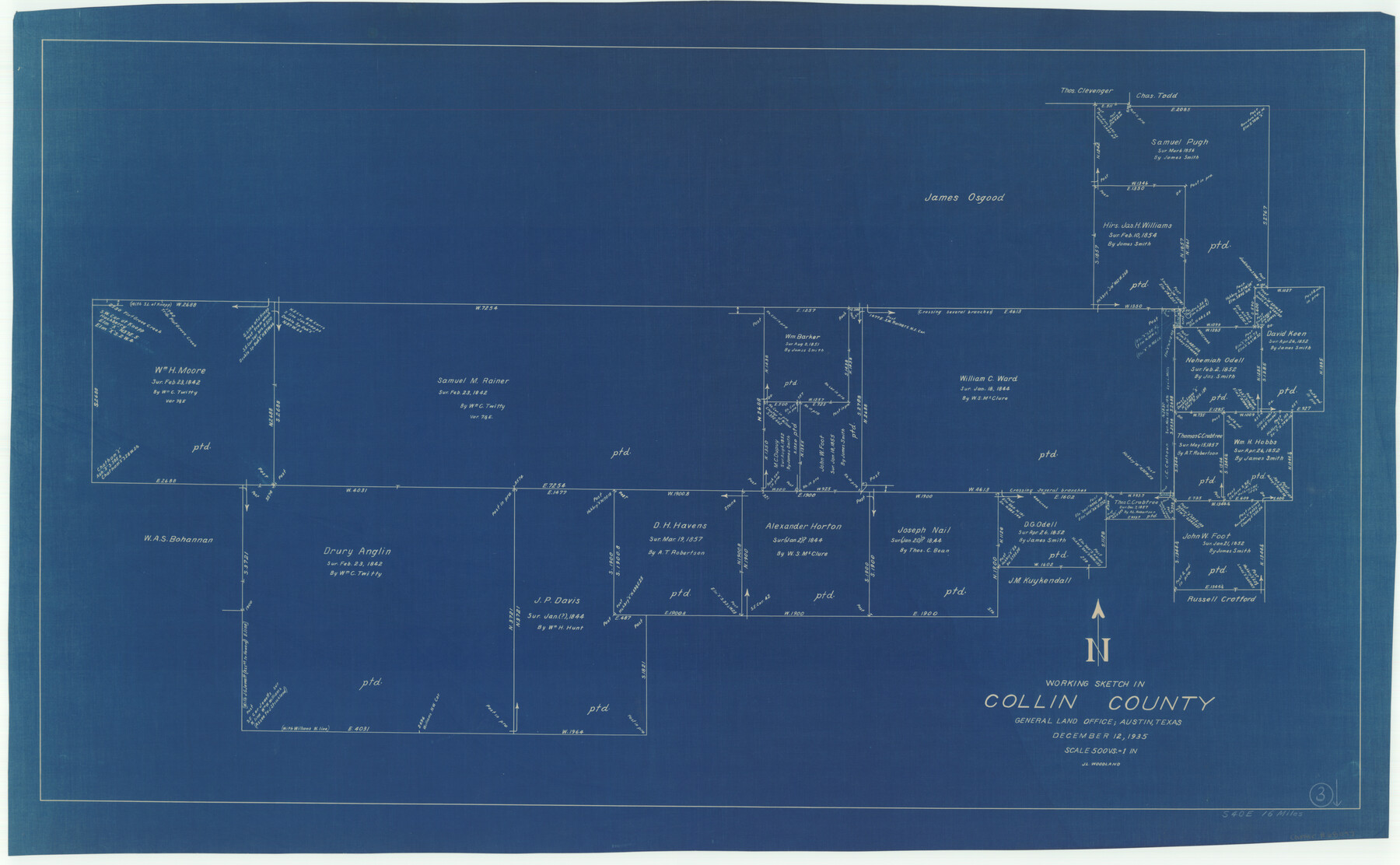
Collin County Working Sketch 3
-
Map/Doc
68097
-
Collection
General Map Collection
-
Object Dates
12/12/1935 (Creation Date)
-
People and Organizations
J.L. Woodland (Draftsman)
-
Counties
Collin
-
Subjects
Surveying Working Sketch
-
Height x Width
25.8 x 41.7 inches
65.5 x 105.9 cm
Part of: General Map Collection
Brewster County Working Sketch 118.2

Print $20.00
- Digital $50.00
Brewster County Working Sketch 118.2
Size 26.8 x 20.6 inches
Map/Doc 67871
Right of Way and Track Map of The Missouri, Kansas & Texas Railway of Texas

Print $40.00
- Digital $50.00
Right of Way and Track Map of The Missouri, Kansas & Texas Railway of Texas
1918
Size 25.9 x 108.3 inches
Map/Doc 64526
Cass County Working Sketch 18

Print $20.00
- Digital $50.00
Cass County Working Sketch 18
1958
Size 24.2 x 44.3 inches
Map/Doc 67921
Caldwell County Working Sketch 2

Print $3.00
- Digital $50.00
Caldwell County Working Sketch 2
1912
Size 11.2 x 9.1 inches
Map/Doc 67832
Webb County Sketch File 44a

Print $20.00
- Digital $50.00
Webb County Sketch File 44a
1936
Size 29.4 x 18.2 inches
Map/Doc 12640
Houston County Working Sketch 37

Print $20.00
- Digital $50.00
Houston County Working Sketch 37
2006
Size 33.0 x 40.0 inches
Map/Doc 83627
Coleman County Working Sketch 17

Print $20.00
- Digital $50.00
Coleman County Working Sketch 17
1952
Size 24.8 x 29.2 inches
Map/Doc 68083
Edwards County Working Sketch 10

Print $20.00
- Digital $50.00
Edwards County Working Sketch 10
1920
Size 21.9 x 18.3 inches
Map/Doc 68886
Reagan County Rolled Sketch 39

Print $20.00
- Digital $50.00
Reagan County Rolled Sketch 39
1966
Size 25.7 x 25.1 inches
Map/Doc 7450
Map of the Reconnaissance in Texas by Lieuts Blake & Meade of the Corps of Topl. Engrs.

Print $20.00
- Digital $50.00
Map of the Reconnaissance in Texas by Lieuts Blake & Meade of the Corps of Topl. Engrs.
1845
Size 27.6 x 18.2 inches
Map/Doc 72894
Coast Chart No. 106 - Oyster Bay to Matagorda Bay, Texas

Print $20.00
- Digital $50.00
Coast Chart No. 106 - Oyster Bay to Matagorda Bay, Texas
1881
Size 33.5 x 40.7 inches
Map/Doc 69929
Hutchinson County Rolled Sketch 28

Print $20.00
- Digital $50.00
Hutchinson County Rolled Sketch 28
1921
Size 28.1 x 34.7 inches
Map/Doc 6290
You may also like
Ochiltree County

Print $20.00
- Digital $50.00
Ochiltree County
Size 14.3 x 16.5 inches
Map/Doc 91491
Lampasas County Sketch File 11

Print $4.00
- Digital $50.00
Lampasas County Sketch File 11
1874
Size 12.2 x 7.9 inches
Map/Doc 29420
Map of the Lower Rio Grande, accompanying report of the special committee on Texas frontier troubles, appointed by the House of Representatives, Jan. 6, 1876

Print $20.00
- Digital $50.00
Map of the Lower Rio Grande, accompanying report of the special committee on Texas frontier troubles, appointed by the House of Representatives, Jan. 6, 1876
1876
Size 12.1 x 17.6 inches
Map/Doc 95406
Wheeler County Sketch File A

Print $20.00
- Digital $50.00
Wheeler County Sketch File A
1888
Size 15.5 x 31.8 inches
Map/Doc 12677
[League in the South Part of Lamb County]
![91052, [League in the South Part of Lamb County], Twichell Survey Records](https://historictexasmaps.com/wmedia_w700/maps/91052-1.tif.jpg)
Print $20.00
- Digital $50.00
[League in the South Part of Lamb County]
Size 30.4 x 34.1 inches
Map/Doc 91052
Flight Mission No. DIX-7P, Frame 86, Aransas County

Print $20.00
- Digital $50.00
Flight Mission No. DIX-7P, Frame 86, Aransas County
1956
Size 18.7 x 22.5 inches
Map/Doc 83880
Madison County Working Sketch 5

Print $20.00
- Digital $50.00
Madison County Working Sketch 5
1981
Size 24.0 x 24.1 inches
Map/Doc 70767
Val Verde County Working Sketch 83

Print $40.00
- Digital $50.00
Val Verde County Working Sketch 83
1973
Size 28.7 x 53.6 inches
Map/Doc 72218
Rusk County Working Sketch 34

Print $20.00
- Digital $50.00
Rusk County Working Sketch 34
1994
Size 43.5 x 33.1 inches
Map/Doc 63671
Presidio County Rolled Sketch 114

Print $20.00
- Digital $50.00
Presidio County Rolled Sketch 114
Size 28.2 x 40.3 inches
Map/Doc 7390
Gregg County Working Sketch 23

Print $20.00
- Digital $50.00
Gregg County Working Sketch 23
1982
Size 20.2 x 42.2 inches
Map/Doc 63290
[Galveston, Harrisburg & San Antonio Railway]
![64408, [Galveston, Harrisburg & San Antonio Railway], General Map Collection](https://historictexasmaps.com/wmedia_w700/maps/64408.tif.jpg)
Print $20.00
- Digital $50.00
[Galveston, Harrisburg & San Antonio Railway]
1892
Size 13.5 x 33.6 inches
Map/Doc 64408