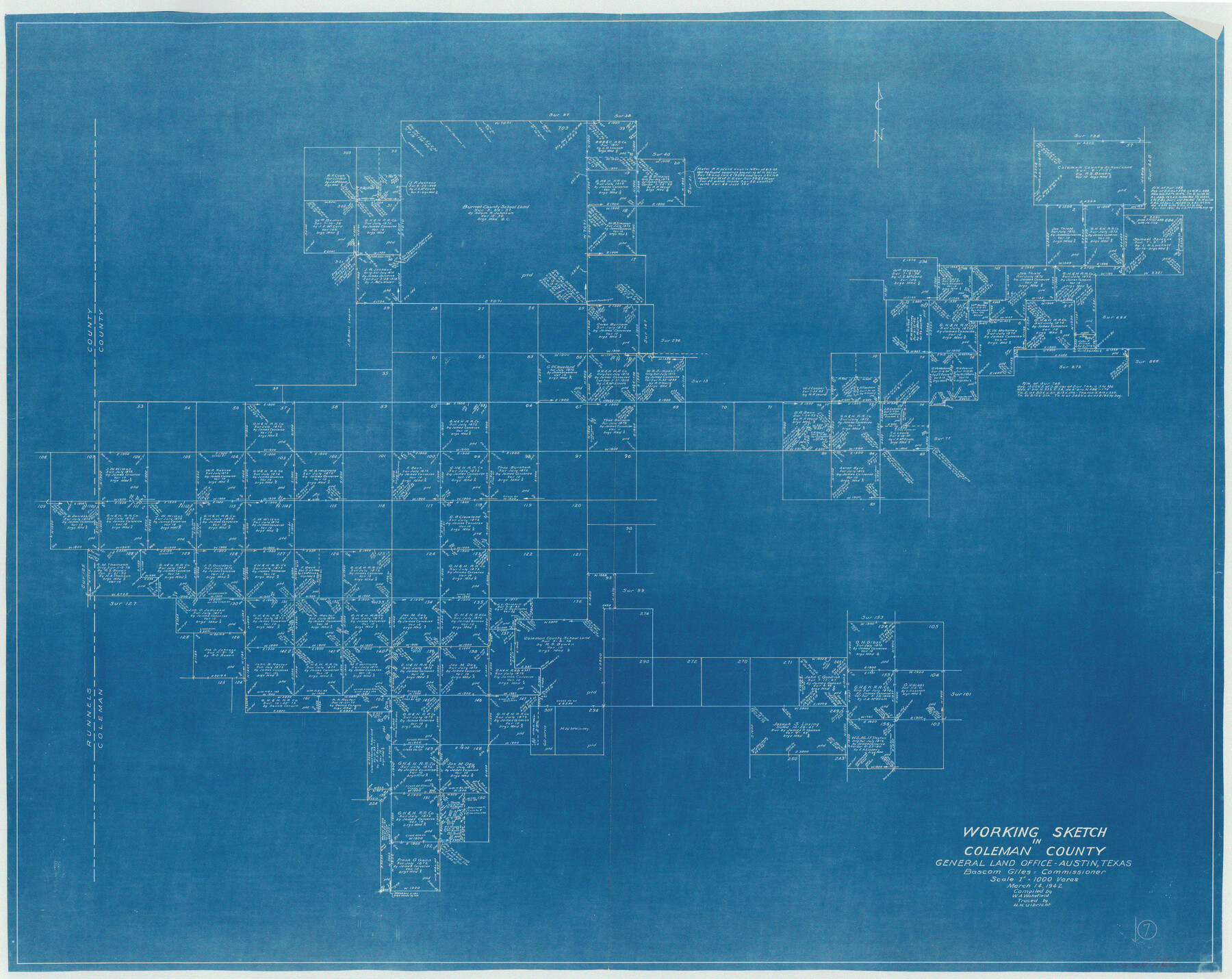
Coleman County Working Sketch 7
-
Map/Doc
68073
-
Collection
General Map Collection
-
Object Dates
3/14/1942 (Creation Date)
-
People and Organizations
Herbert H. Ulbricht (Tracer)
V.A. Wakefield (Compiler)
-
Counties
Coleman
-
Subjects
Surveying Working Sketch
-
Height x Width
38.0 x 47.8 inches
96.5 x 121.4 cm
-
Scale
1" = 1000 varas
Part of: General Map Collection
Flight Mission No. DAG-26K, Frame 64, Matagorda County

Print $20.00
- Digital $50.00
Flight Mission No. DAG-26K, Frame 64, Matagorda County
1953
Size 18.5 x 22.2 inches
Map/Doc 86584
Castro County Boundary File 1b

Print $32.00
- Digital $50.00
Castro County Boundary File 1b
Size 14.1 x 8.6 inches
Map/Doc 51208
Kenedy County Rolled Sketch 14

Print $21.00
- Digital $50.00
Kenedy County Rolled Sketch 14
1951
Size 10.2 x 15.3 inches
Map/Doc 46433
Pecos County Sketch File 29a

Print $4.00
- Digital $50.00
Pecos County Sketch File 29a
1911
Size 14.2 x 8.6 inches
Map/Doc 33690
Menard County Sketch File 31

Print $4.00
- Digital $50.00
Menard County Sketch File 31
1978
Size 14.2 x 8.7 inches
Map/Doc 31573
Hunt County Boundary File 11a

Print $15.00
- Digital $50.00
Hunt County Boundary File 11a
Size 11.1 x 8.9 inches
Map/Doc 55272
Val Verde County Sketch File XXX8

Print $6.00
- Digital $50.00
Val Verde County Sketch File XXX8
Size 9.0 x 16.4 inches
Map/Doc 39106
Morris County Rolled Sketch 2A

Print $20.00
- Digital $50.00
Morris County Rolled Sketch 2A
Size 24.0 x 18.8 inches
Map/Doc 10257
San Augustine County Working Sketch 7

Print $20.00
- Digital $50.00
San Augustine County Working Sketch 7
1935
Size 24.7 x 34.8 inches
Map/Doc 63694
Cooke County Sketch File 5

Print $4.00
- Digital $50.00
Cooke County Sketch File 5
1857
Size 12.7 x 8.2 inches
Map/Doc 19226
Galveston Bay and Approaches

Print $20.00
- Digital $50.00
Galveston Bay and Approaches
1957
Size 43.6 x 32.7 inches
Map/Doc 69877
Map of the United States and Texas designed to accompany Smith's Geography for Schools (Inset: Map of Mexico and Guatimala)

Print $20.00
- Digital $50.00
Map of the United States and Texas designed to accompany Smith's Geography for Schools (Inset: Map of Mexico and Guatimala)
1839
Size 11.8 x 19.1 inches
Map/Doc 93691
You may also like
Uvalde County Sketch File 21

Print $8.00
- Digital $50.00
Uvalde County Sketch File 21
1882
Size 14.2 x 8.8 inches
Map/Doc 39004
Stonewall County Working Sketch 17

Print $20.00
- Digital $50.00
Stonewall County Working Sketch 17
1954
Size 31.5 x 24.7 inches
Map/Doc 62324

Roberts County Rolled Sketch 3

Print $40.00
- Digital $50.00
Roberts County Rolled Sketch 3
Size 37.7 x 48.9 inches
Map/Doc 8359
Wilson County Working Sketch 14

Print $20.00
- Digital $50.00
Wilson County Working Sketch 14
1987
Size 31.9 x 36.2 inches
Map/Doc 72594
Morris County Sketch File 5

Print $20.00
- Digital $50.00
Morris County Sketch File 5
Size 21.4 x 11.6 inches
Map/Doc 42132
Finder Map of Greater San Antonio

Print $20.00
- Digital $50.00
Finder Map of Greater San Antonio
1950
Size 28.7 x 21.4 inches
Map/Doc 94029

General Highway Map, Collingsworth County, Texas

Print $20.00
General Highway Map, Collingsworth County, Texas
1940
Size 18.3 x 25.2 inches
Map/Doc 79053
Nueces County Rolled Sketch 107

Print $56.00
Nueces County Rolled Sketch 107
1987
Size 18.4 x 24.8 inches
Map/Doc 7104
Mason County Boundary File 2

Print $16.00
- Digital $50.00
Mason County Boundary File 2
Size 9.1 x 8.3 inches
Map/Doc 56830
[Sketch for Mineral Application 16787 - Pecos River Bed, A. T. Freet]
![2814, [Sketch for Mineral Application 16787 - Pecos River Bed, A. T. Freet], General Map Collection](https://historictexasmaps.com/wmedia_w700/maps/2814-1.tif.jpg)
Print $40.00
- Digital $50.00
[Sketch for Mineral Application 16787 - Pecos River Bed, A. T. Freet]
1927
Size 20.2 x 59.5 inches
Map/Doc 2814