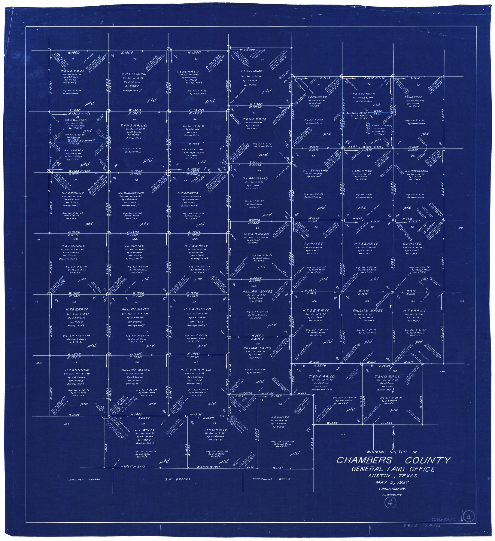
Chambers County Working Sketch 4
-
Map/Doc
67987
-
Collection
General Map Collection
-
Object Dates
5/5/1937 (Creation Date)
-
People and Organizations
J.L. Woodland (Draftsman)
-
Counties
Chambers
-
Subjects
Surveying Working Sketch
-
Height x Width
34.0 x 31.4 inches
86.4 x 79.8 cm
-
Scale
1" = 500 varas
Part of: General Map Collection
Shackelford County

Print $20.00
- Digital $50.00
Shackelford County
1920
Size 44.6 x 37.1 inches
Map/Doc 16813
Wichita County Working Sketch 17

Print $20.00
- Digital $50.00
Wichita County Working Sketch 17
1940
Size 25.6 x 26.1 inches
Map/Doc 72527
Cass County Working Sketch 11

Print $3.00
- Digital $50.00
Cass County Working Sketch 11
Size 14.8 x 10.3 inches
Map/Doc 67914
McLennan County Sketch File 17

Print $4.00
- Digital $50.00
McLennan County Sketch File 17
1876
Size 7.9 x 12.7 inches
Map/Doc 31278
Texas and the Great War

Print $20.00
- Digital $50.00
Texas and the Great War
2017
Size 24.3 x 18.3 inches
Map/Doc 94412
Flight Mission No. DQN-2K, Frame 94, Calhoun County

Print $20.00
- Digital $50.00
Flight Mission No. DQN-2K, Frame 94, Calhoun County
1953
Size 16.6 x 16.2 inches
Map/Doc 84284
Lipscomb County Rolled Sketch 6

Print $20.00
- Digital $50.00
Lipscomb County Rolled Sketch 6
1941
Size 44.8 x 21.8 inches
Map/Doc 42260
Mills County Working Sketch 21

Print $20.00
- Digital $50.00
Mills County Working Sketch 21
1981
Size 33.6 x 37.6 inches
Map/Doc 71051
[Map of Texas and Pacific Blocks from Brazos River westward through Palo Pinto, Stephens, Shackelford, Jones, Callahan, Taylor, Fisher, Nolan and Mitchell Counties]
![93457, [Map of Texas and Pacific Blocks from Brazos River westward through Palo Pinto, Stephens, Shackelford, Jones, Callahan, Taylor, Fisher, Nolan and Mitchell Counties], General Map Collection](https://historictexasmaps.com/wmedia_w700/maps/93457-1.tif.jpg)
Print $20.00
- Digital $50.00
[Map of Texas and Pacific Blocks from Brazos River westward through Palo Pinto, Stephens, Shackelford, Jones, Callahan, Taylor, Fisher, Nolan and Mitchell Counties]
Size 35.0 x 19.3 inches
Map/Doc 93457
Guadalupe County Sketch File 4

Print $4.00
- Digital $50.00
Guadalupe County Sketch File 4
1869
Size 8.2 x 7.9 inches
Map/Doc 24654
Pecos County Working Sketch Graphic index - northwest part - sheet A

Print $20.00
- Digital $50.00
Pecos County Working Sketch Graphic index - northwest part - sheet A
1975
Size 42.2 x 42.6 inches
Map/Doc 76663
Harris County Rolled Sketch 91

Print $407.00
- Digital $50.00
Harris County Rolled Sketch 91
1981
Size 31.0 x 24.3 inches
Map/Doc 6130
You may also like
Clay County Rolled Sketch 4

Print $20.00
- Digital $50.00
Clay County Rolled Sketch 4
1949
Size 32.2 x 25.6 inches
Map/Doc 5486
Flight Mission No. BRE-2P, Frame 13, Nueces County

Print $20.00
- Digital $50.00
Flight Mission No. BRE-2P, Frame 13, Nueces County
1956
Size 18.0 x 22.1 inches
Map/Doc 86722
Flight Mission No. CRE-2R, Frame 155, Jackson County

Print $20.00
- Digital $50.00
Flight Mission No. CRE-2R, Frame 155, Jackson County
1956
Size 16.1 x 16.1 inches
Map/Doc 85366

Bee County Sketch File 12

Print $4.00
- Digital $50.00
Bee County Sketch File 12
1876
Size 8.2 x 9.8 inches
Map/Doc 14293
Colorado County Sketch File 11

Print $6.00
- Digital $50.00
Colorado County Sketch File 11
Size 12.7 x 11.0 inches
Map/Doc 18935
Webb County Rolled Sketch 42

Print $20.00
- Digital $50.00
Webb County Rolled Sketch 42
1941
Size 25.2 x 37.1 inches
Map/Doc 8197
Briscoe County Sketch File F

Print $40.00
- Digital $50.00
Briscoe County Sketch File F
1917
Size 20.9 x 19.3 inches
Map/Doc 76756
Hartley County Rolled Sketch 4

Print $20.00
- Digital $50.00
Hartley County Rolled Sketch 4
1902
Size 25.4 x 36.7 inches
Map/Doc 6159
Flight Mission No. DAH-10M, Frame 40, Orange County

Print $20.00
- Digital $50.00
Flight Mission No. DAH-10M, Frame 40, Orange County
1953
Size 18.8 x 22.6 inches
Map/Doc 86875
Victoria County

Print $20.00
- Digital $50.00
Victoria County
1858
Size 26.5 x 29.2 inches
Map/Doc 4115
Renderbrook Ranch

Print $20.00
- Digital $50.00
Renderbrook Ranch
1932
Size 16.9 x 13.5 inches
Map/Doc 92279