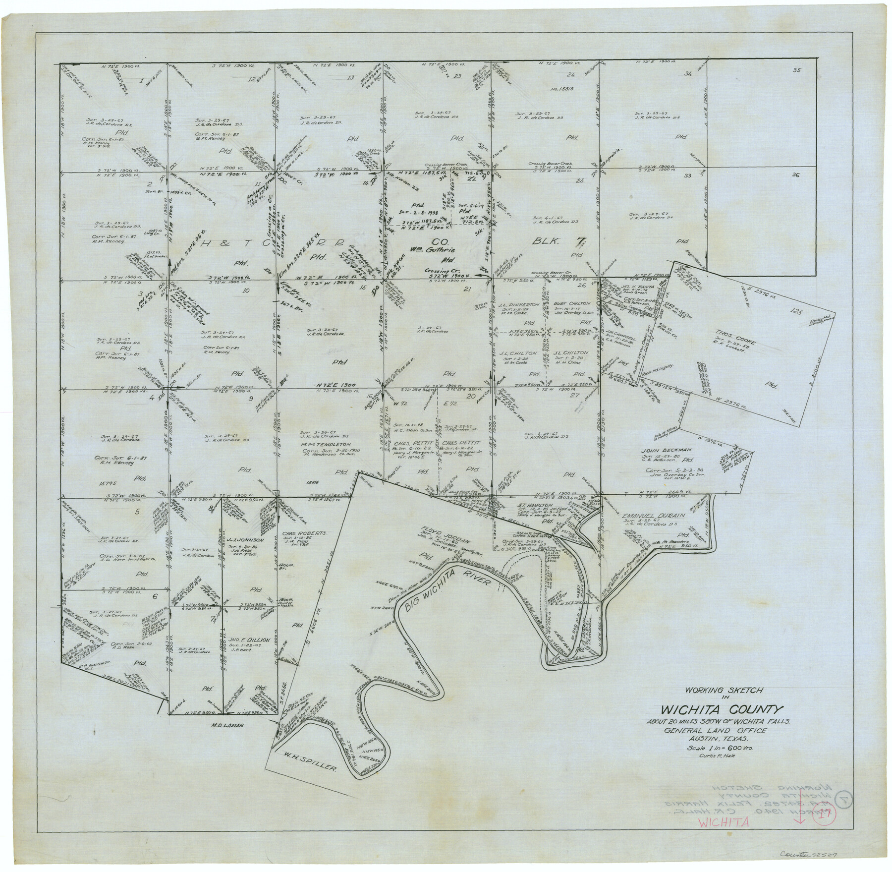
Wichita County Working Sketch 17
-
Map/Doc
72527
-
Collection
General Map Collection
-
Object Dates
3/1940 (Creation Date)
-
People and Organizations
Curtis R. Hale (Draftsman)
-
Counties
Wichita
-
Subjects
Surveying Working Sketch
-
Height x Width
25.6 x 26.1 inches
65.0 x 66.3 cm
-
Scale
1" = 600 varas
Part of: General Map Collection
Webb County Working Sketch 92

Print $20.00
- Digital $50.00
Webb County Working Sketch 92
1988
Size 30.6 x 37.0 inches
Map/Doc 72459
Victoria County Sketch File 3

Print $7.00
- Digital $50.00
Victoria County Sketch File 3
1876
Size 10.1 x 8.2 inches
Map/Doc 39514
Railroad Track Map, H&TCRRCo., Falls County, Texas

Print $4.00
- Digital $50.00
Railroad Track Map, H&TCRRCo., Falls County, Texas
1918
Size 11.7 x 18.4 inches
Map/Doc 62862
Starr County Sketch File 10

Print $40.00
- Digital $50.00
Starr County Sketch File 10
Size 12.6 x 15.0 inches
Map/Doc 36863
Map of the Town of Giddings

Print $20.00
- Digital $50.00
Map of the Town of Giddings
1871
Size 23.9 x 29.8 inches
Map/Doc 89270
Denton County Sketch File 35

Print $14.00
- Digital $50.00
Denton County Sketch File 35
1897
Size 9.5 x 8.8 inches
Map/Doc 20766
Lamar County Working Sketch 5

Print $20.00
- Digital $50.00
Lamar County Working Sketch 5
1962
Size 21.5 x 23.6 inches
Map/Doc 70266
Hansford County Working Sketch 6

Print $40.00
- Digital $50.00
Hansford County Working Sketch 6
1967
Size 33.2 x 56.2 inches
Map/Doc 63378
Montague County Working Sketch 5

Print $20.00
- Digital $50.00
Montague County Working Sketch 5
1920
Size 24.9 x 20.9 inches
Map/Doc 71071
Trinity River, Emhouse Sheet/Chambers Creek

Print $20.00
- Digital $50.00
Trinity River, Emhouse Sheet/Chambers Creek
1931
Size 35.8 x 35.3 inches
Map/Doc 65233
Yoakum County Sketch File 4

Print $30.00
- Digital $50.00
Yoakum County Sketch File 4
Size 8.0 x 7.8 inches
Map/Doc 40718
Briscoe County Boundary File 7

Print $6.00
- Digital $50.00
Briscoe County Boundary File 7
Size 10.6 x 8.1 inches
Map/Doc 50806
You may also like
Van Zandt County Working Sketch 5

Print $20.00
- Digital $50.00
Van Zandt County Working Sketch 5
1940
Size 37.2 x 25.5 inches
Map/Doc 72254
Matagorda County Rolled Sketch 32

Print $20.00
- Digital $50.00
Matagorda County Rolled Sketch 32
Size 29.7 x 34.9 inches
Map/Doc 6694
Chambers County Sketch File 1

Print $4.00
- Digital $50.00
Chambers County Sketch File 1
1856
Size 7.8 x 12.2 inches
Map/Doc 17516
Kerr County Working Sketch 9

Print $20.00
- Digital $50.00
Kerr County Working Sketch 9
1949
Size 31.6 x 33.0 inches
Map/Doc 70040
University Lands, Blocks 34 to 37, Terrell County

Print $20.00
- Digital $50.00
University Lands, Blocks 34 to 37, Terrell County
1938
Size 32.5 x 40.0 inches
Map/Doc 2417

Correct Map Lamb County (skeleton sketch)

Print $40.00
- Digital $50.00
Correct Map Lamb County (skeleton sketch)
Size 56.3 x 79.2 inches
Map/Doc 93140
Carte d'une partie de L'Amérique Séptentrionale, qui contient partie de la Nle. Espagne, et de la Louisiane

Print $20.00
- Digital $50.00
Carte d'une partie de L'Amérique Séptentrionale, qui contient partie de la Nle. Espagne, et de la Louisiane
1782
Size 14.1 x 18.1 inches
Map/Doc 97118
Aransas Pass to Baffin Bay

Print $20.00
- Digital $50.00
Aransas Pass to Baffin Bay
1981
Size 43.0 x 35.0 inches
Map/Doc 73420
Upshur County Sketch File 16

Print $20.00
- Digital $50.00
Upshur County Sketch File 16
1873
Size 19.1 x 28.0 inches
Map/Doc 12506

Gillespie County Boundary File 4

Print $56.00
- Digital $50.00
Gillespie County Boundary File 4
Size 13.6 x 9.0 inches
Map/Doc 53754