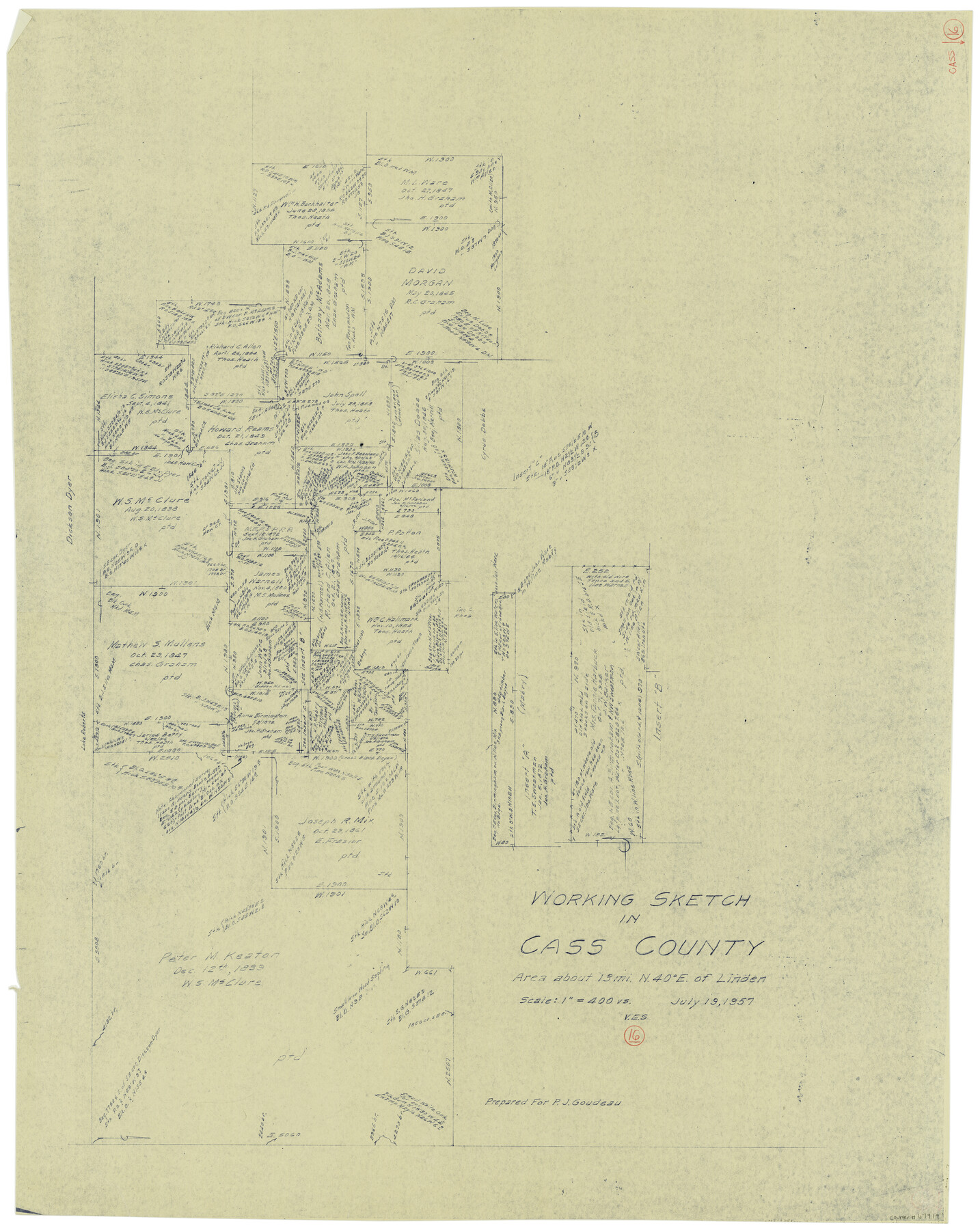
Cass County Working Sketch 16
- 
                          Map/Doc
67919
 - 
                            Collection
General Map Collection
 - 
                            Object Dates
7/19/1957 (Creation Date)
 - 
                            People and Organizations
Victor E. Sterzing (Draftsman)
 - 
                            Counties
Cass
 - 
                            Subjects
Surveying Working Sketch
 - 
                            Height x Width
43.1 x 34.8 inches
109.5 x 88.4 cm
 - 
                            Scale
1" = 400 varas
 
Part of: General Map Collection
            [The S.K. Ry. of Texas, State Line to Pecos, Reeves Co., Texas]


                                            Print $40.00                    
                                             -                         Digital $50.00                                    
                [The S.K. Ry. of Texas, State Line to Pecos, Reeves Co., Texas]
1910
Size 18.9 x 120.1 inches
                                Map/Doc 64158
            
            Victoria County Rolled Sketch 3


                                            Print $20.00                    
                                             -                         Digital $50.00                                    
                Victoria County Rolled Sketch 3
1950
Size 41.9 x 37.8 inches
                                Map/Doc 10094
            
            Reeves County Working Sketch 21


                                            Print $20.00                    
                                             -                         Digital $50.00                                    
                Reeves County Working Sketch 21
1964
Size 32.7 x 27.0 inches
                                Map/Doc 63464
            
            Hall County Sketch File 31


                                            Print $8.00                    
                                             -                         Digital $50.00                                    
                Hall County Sketch File 31
1951
Size 14.3 x 8.9 inches
                                Map/Doc 24835
            
            Red River County Working Sketch 58


                                            Print $40.00                    
                                             -                         Digital $50.00                                    
                Red River County Working Sketch 58
1972
Size 51.4 x 39.0 inches
                                Map/Doc 72041
            
            Flight Mission No. CRC-4R, Frame 104, Chambers County


                                            Print $20.00                    
                                             -                         Digital $50.00                                    
                Flight Mission No. CRC-4R, Frame 104, Chambers County
1956
Size 18.6 x 22.4 inches
                                Map/Doc 84901
            
            Right of Way and Track Map, the Missouri, Kansas and Texas Ry. of Texas - Henrietta Division


                                            Print $20.00                    
                                             -                         Digital $50.00                                    
                Right of Way and Track Map, the Missouri, Kansas and Texas Ry. of Texas - Henrietta Division
1918
Size 11.9 x 26.8 inches
                                Map/Doc 64753
            
            Johnson County Working Sketch 18


                                            Print $20.00                    
                                             -                         Digital $50.00                                    
                Johnson County Working Sketch 18
1985
Size 18.3 x 26.0 inches
                                Map/Doc 66631
            
            Flight Mission No. DIX-6P, Frame 115, Aransas County


                                            Print $20.00                    
                                             -                         Digital $50.00                                    
                Flight Mission No. DIX-6P, Frame 115, Aransas County
1956
Size 19.3 x 22.8 inches
                                Map/Doc 83821
            
            Martin County Sketch File 7


                                            Print $20.00                    
                                             -                         Digital $50.00                                    
                Martin County Sketch File 7
Size 20.0 x 13.9 inches
                                Map/Doc 12028
            
            Brewster County Working Sketch 63


                                            Print $20.00                    
                                             -                         Digital $50.00                                    
                Brewster County Working Sketch 63
1956
Size 30.4 x 28.9 inches
                                Map/Doc 67664
            
            Bee County Boundary File 3


                                            Print $20.00                    
                                             -                         Digital $50.00                                    
                Bee County Boundary File 3
Size 22.3 x 16.2 inches
                                Map/Doc 50440
            You may also like
            Dimmit County Sketch File 11a


                                            Print $20.00                    
                                             -                         Digital $50.00                                    
                Dimmit County Sketch File 11a
1880
Size 12.9 x 18.7 inches
                                Map/Doc 11339
            
            Travis County Sketch File 73


                                            Print $4.00                    
                                             -                         Digital $50.00                                    
                Travis County Sketch File 73
1847
Size 13.0 x 8.3 inches
                                Map/Doc 38462
            
            United States - Gulf Coast Texas - Southern part of Laguna Madre


                                            Print $20.00                    
                                             -                         Digital $50.00                                    
                United States - Gulf Coast Texas - Southern part of Laguna Madre
1933
Size 26.8 x 18.3 inches
                                Map/Doc 72949
            
            Loving County Sketch File 1


                                            Print $4.00                    
                                             -                         Digital $50.00                                    
                Loving County Sketch File 1
1931
Size 11.2 x 8.6 inches
                                Map/Doc 30407
            
            Fredonia or the United States of North-America; including also Cabotia, or the Canadian Provinces; the Western Territory to the Pacific Ocean; and the Northern Part of the Mexican States


                                            Print $20.00                    
                                             -                         Digital $50.00                                    
                Fredonia or the United States of North-America; including also Cabotia, or the Canadian Provinces; the Western Territory to the Pacific Ocean; and the Northern Part of the Mexican States
1848
Size 26.8 x 39.9 inches
                                Map/Doc 93879
            
            Real County Sketch File 14


                                            Print $20.00                    
                                             -                         Digital $50.00                                    
                Real County Sketch File 14
1933
Size 16.5 x 16.7 inches
                                Map/Doc 12233
            
            Lampasas County Boundary File 7


                                            Print $24.00                    
                                             -                         Digital $50.00                                    
                Lampasas County Boundary File 7
Size 12.7 x 8.3 inches
                                Map/Doc 56146
            
            Flight Mission No. DAG-17K, Frame 79, Matagorda County


                                            Print $20.00                    
                                             -                         Digital $50.00                                    
                Flight Mission No. DAG-17K, Frame 79, Matagorda County
1952
Size 19.7 x 25.0 inches
                                Map/Doc 86338
            
            Nueces County Rolled Sketch 113A


                                            Print $20.00                    
                                             -                         Digital $50.00                                    
                Nueces County Rolled Sketch 113A
1972
Size 18.6 x 23.3 inches
                                Map/Doc 7122
            
            Map of Concho County


                                            Print $20.00                    
                                             -                         Digital $50.00                                    
                Map of Concho County
1862
Size 21.7 x 18.2 inches
                                Map/Doc 3435
            
            Map of Block No. "M1" made for the "School Fund" (32 Confederates)


                                            Print $20.00                    
                                             -                         Digital $50.00                                    
                Map of Block No. "M1" made for the "School Fund" (32 Confederates)
1882
Size 18.5 x 11.2 inches
                                Map/Doc 684
            
            Wilbarger Co.


                                            Print $20.00                    
                                             -                         Digital $50.00                                    
                Wilbarger Co.
1949
Size 47.8 x 38.8 inches
                                Map/Doc 73324