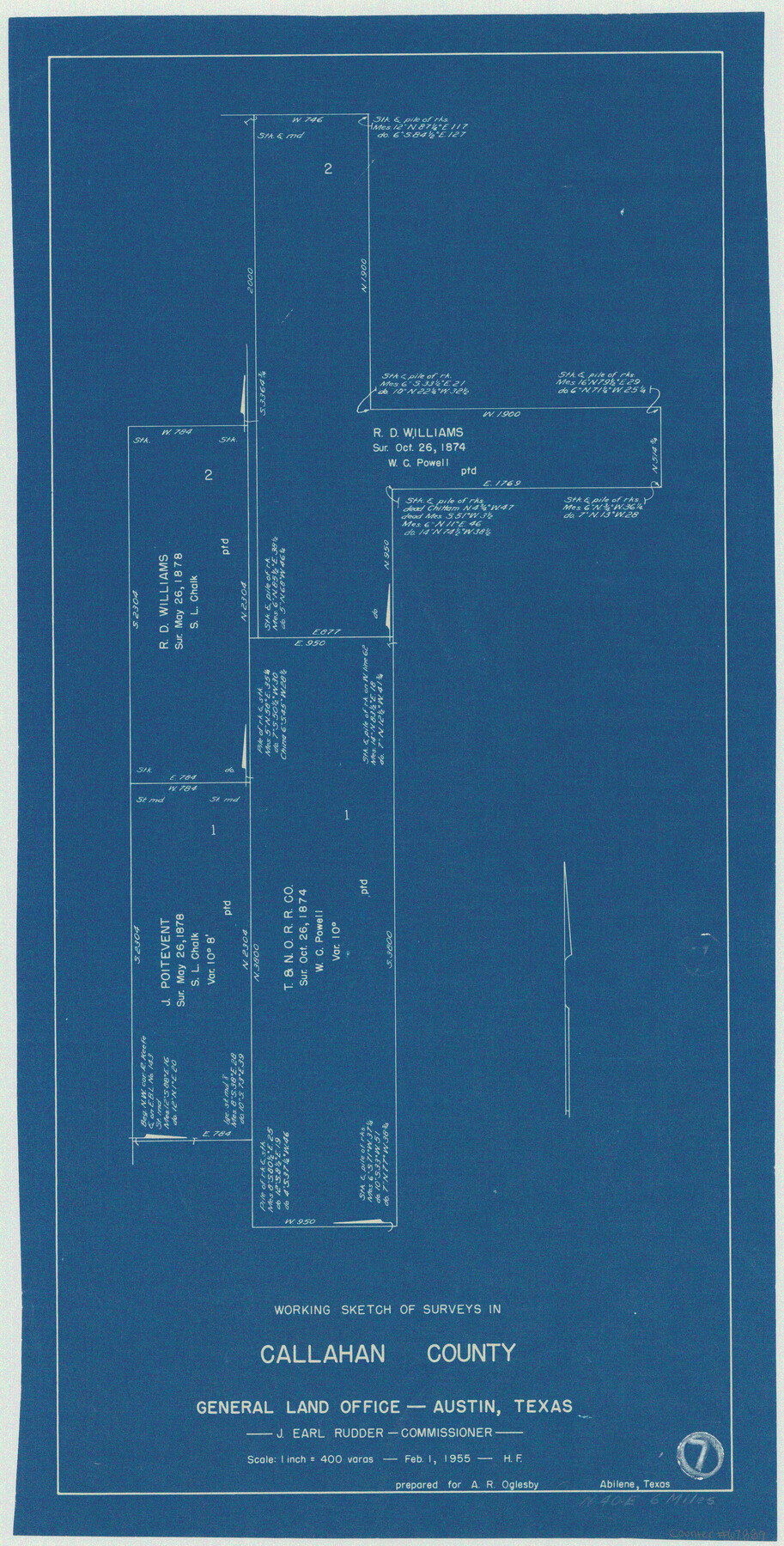
Callahan County Working Sketch 7
-
Map/Doc
67889
-
Collection
General Map Collection
-
Object Dates
2/1/1955 (Creation Date)
-
People and Organizations
Herman Forbes (Draftsman)
-
Counties
Callahan
-
Subjects
Surveying Working Sketch
-
Height x Width
25.1 x 12.7 inches
63.8 x 32.3 cm
-
Scale
1" = 400 varas
Part of: General Map Collection
Floyd County Sketch File A1

Print $4.00
- Digital $50.00
Floyd County Sketch File A1
Size 9.2 x 7.9 inches
Map/Doc 22686
Val Verde County Working Sketch 52

Print $20.00
- Digital $50.00
Val Verde County Working Sketch 52
1956
Size 20.6 x 14.9 inches
Map/Doc 72187
Borden County Rolled Sketch 3

Print $20.00
- Digital $50.00
Borden County Rolled Sketch 3
1908
Size 29.0 x 33.6 inches
Map/Doc 5155
Collin County Sketch File 13

Print $4.00
- Digital $50.00
Collin County Sketch File 13
1874
Size 8.8 x 6.8 inches
Map/Doc 18872
Callahan County Working Sketch 3

Print $20.00
- Digital $50.00
Callahan County Working Sketch 3
1952
Size 35.3 x 30.5 inches
Map/Doc 67885
Falls County Sketch File 27

Print $6.00
- Digital $50.00
Falls County Sketch File 27
Size 16.1 x 11.0 inches
Map/Doc 22436
Jackson County Working Sketch 13

Print $20.00
- Digital $50.00
Jackson County Working Sketch 13
1994
Size 22.2 x 30.3 inches
Map/Doc 66461
Presidio County Working Sketch 130

Print $20.00
- Digital $50.00
Presidio County Working Sketch 130
1989
Size 22.1 x 43.1 inches
Map/Doc 71808
Brewster County Working Sketch 61

Print $20.00
- Digital $50.00
Brewster County Working Sketch 61
1955
Size 32.1 x 43.3 inches
Map/Doc 67662
[Cotton Belt, St. Louis Southwestern Railway of Texas, Alignment through Smith County]
![64374, [Cotton Belt, St. Louis Southwestern Railway of Texas, Alignment through Smith County], General Map Collection](https://historictexasmaps.com/wmedia_w700/maps/64374.tif.jpg)
Print $20.00
- Digital $50.00
[Cotton Belt, St. Louis Southwestern Railway of Texas, Alignment through Smith County]
1903
Size 21.5 x 29.3 inches
Map/Doc 64374
Liberty County Working Sketch 55

Print $20.00
- Digital $50.00
Liberty County Working Sketch 55
1962
Size 30.4 x 31.4 inches
Map/Doc 70515
Pecos County Sketch File 84

Print $4.00
- Digital $50.00
Pecos County Sketch File 84
1944
Size 11.2 x 8.8 inches
Map/Doc 33953
You may also like
Sketch of 103rd Meridian, W. L. Showing Conflict of Capitol Leagues

Print $40.00
- Digital $50.00
Sketch of 103rd Meridian, W. L. Showing Conflict of Capitol Leagues
Size 25.8 x 122.0 inches
Map/Doc 65504
Montgomery County Working Sketch 32

Print $20.00
- Digital $50.00
Montgomery County Working Sketch 32
1950
Size 32.8 x 32.8 inches
Map/Doc 71139
Portion of States Submerged Area in Matagorda Bay

Print $20.00
- Digital $50.00
Portion of States Submerged Area in Matagorda Bay
1922
Size 15.2 x 14.8 inches
Map/Doc 2953
Flight Mission No. CLL-3N, Frame 9, Willacy County

Print $20.00
- Digital $50.00
Flight Mission No. CLL-3N, Frame 9, Willacy County
1954
Size 18.5 x 22.3 inches
Map/Doc 87075
Harris County Working Sketch 14

Print $20.00
- Digital $50.00
Harris County Working Sketch 14
Size 18.9 x 17.4 inches
Map/Doc 65906
Presidio County Working Sketch 11

Print $20.00
- Digital $50.00
Presidio County Working Sketch 11
1941
Size 29.2 x 25.8 inches
Map/Doc 71686
Flight Mission No. DAH-10M, Frame 42, Orange County

Print $20.00
- Digital $50.00
Flight Mission No. DAH-10M, Frame 42, Orange County
1953
Size 18.5 x 22.3 inches
Map/Doc 86877
Travis County Sketch File 67

Print $10.00
- Digital $50.00
Travis County Sketch File 67
1951
Size 14.3 x 9.0 inches
Map/Doc 38446
Erath County Rolled Sketch 2B

Print $20.00
- Digital $50.00
Erath County Rolled Sketch 2B
Size 15.5 x 20.9 inches
Map/Doc 5863
Parker County Sketch File 40

Print $4.00
- Digital $50.00
Parker County Sketch File 40
Size 8.1 x 12.7 inches
Map/Doc 33585
[Sketch highlighting Bob Reid and Fred Turner surveys]
![91693, [Sketch highlighting Bob Reid and Fred Turner surveys], Twichell Survey Records](https://historictexasmaps.com/wmedia_w700/maps/91693-1.tif.jpg)
Print $20.00
- Digital $50.00
[Sketch highlighting Bob Reid and Fred Turner surveys]
Size 12.5 x 17.8 inches
Map/Doc 91693
Leon County Working Sketch 13

Print $20.00
- Digital $50.00
Leon County Working Sketch 13
1956
Size 23.0 x 22.7 inches
Map/Doc 70412