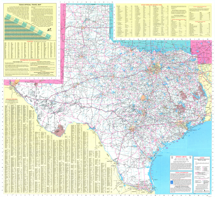
Calhoun County Working Sketch 2a
-
Map/Doc
67817
-
Collection
General Map Collection
-
Object Dates
8/29/1913 (Creation Date)
-
People and Organizations
John W. Pritchett (Draftsman)
-
Counties
Calhoun
-
Subjects
Surveying Working Sketch
-
Height x Width
17.4 x 20.1 inches
44.2 x 51.1 cm
-
Scale
1" = 1000 varas
Part of: General Map Collection
Maps of Gulf Intracoastal Waterway, Texas - Sabine River to the Rio Grande and connecting waterways including ship channels


Print $20.00
- Digital $50.00
Maps of Gulf Intracoastal Waterway, Texas - Sabine River to the Rio Grande and connecting waterways including ship channels
1966
Size 14.5 x 22.3 inches
Map/Doc 61921
Reagan County Rolled Sketch 2


Print $40.00
- Digital $50.00
Reagan County Rolled Sketch 2
1903
Size 52.4 x 37.3 inches
Map/Doc 10621
Chambers County Rolled Sketch CL


Print $40.00
- Digital $50.00
Chambers County Rolled Sketch CL
1909
Size 56.2 x 21.0 inches
Map/Doc 8610
North Sulphur River, Ben Franklin Sheet


Print $20.00
- Digital $50.00
North Sulphur River, Ben Franklin Sheet
1928
Size 14.2 x 30.0 inches
Map/Doc 78324
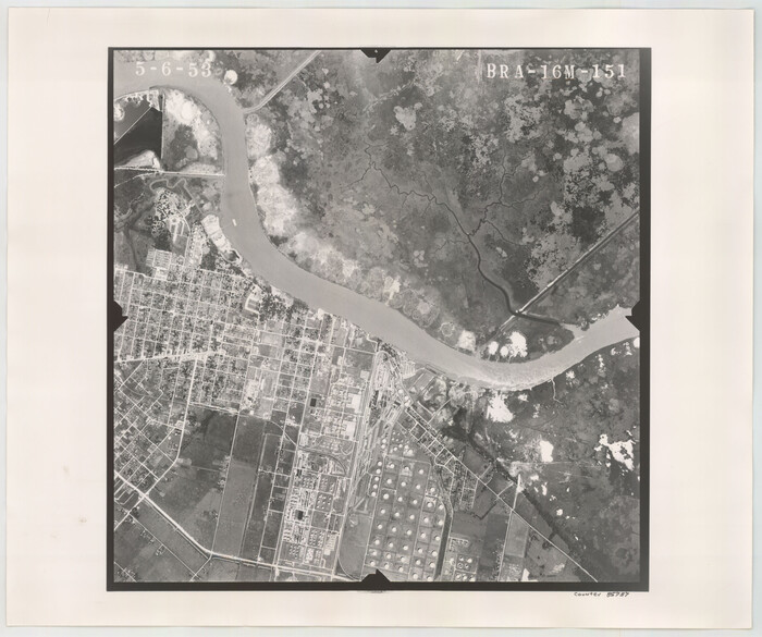
Flight Mission No. BRA-16M, Frame 151, Jefferson County

Print $20.00
- Digital $50.00
Flight Mission No. BRA-16M, Frame 151, Jefferson County
1953
Size 18.7 x 22.3 inches
Map/Doc 85757
Flight Mission No. BRA-3M, Frame 128, Jefferson County


Print $20.00
- Digital $50.00
Flight Mission No. BRA-3M, Frame 128, Jefferson County
1953
Size 18.5 x 22.3 inches
Map/Doc 85402
Atlas Pintoresco e Historico de los Estados Unidos Mexicanos


Atlas Pintoresco e Historico de los Estados Unidos Mexicanos
Map/Doc 96796
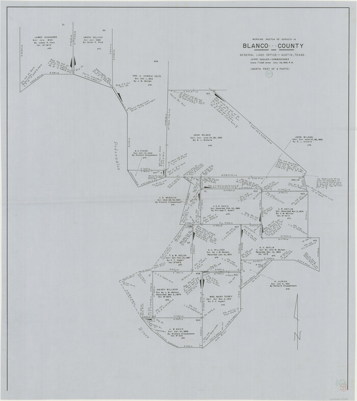
Blanco County Working Sketch 22

Print $20.00
- Digital $50.00
Blanco County Working Sketch 22
1962
Size 41.0 x 36.5 inches
Map/Doc 67382
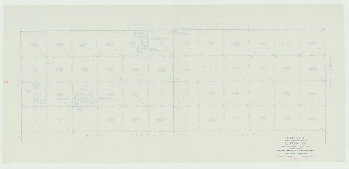
El Paso County Working Sketch 30

Print $40.00
- Digital $50.00
El Paso County Working Sketch 30
1967
Size 32.0 x 65.8 inches
Map/Doc 69052
Aransas County Working Sketch 20


Print $20.00
- Digital $50.00
Aransas County Working Sketch 20
1980
Size 11.9 x 24.4 inches
Map/Doc 67187
Kaufman County Boundary File 2
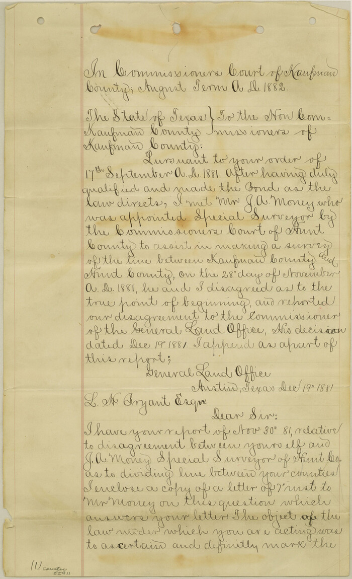

Print $22.00
- Digital $50.00
Kaufman County Boundary File 2
Size 14.1 x 8.6 inches
Map/Doc 55911
You may also like
McCulloch County
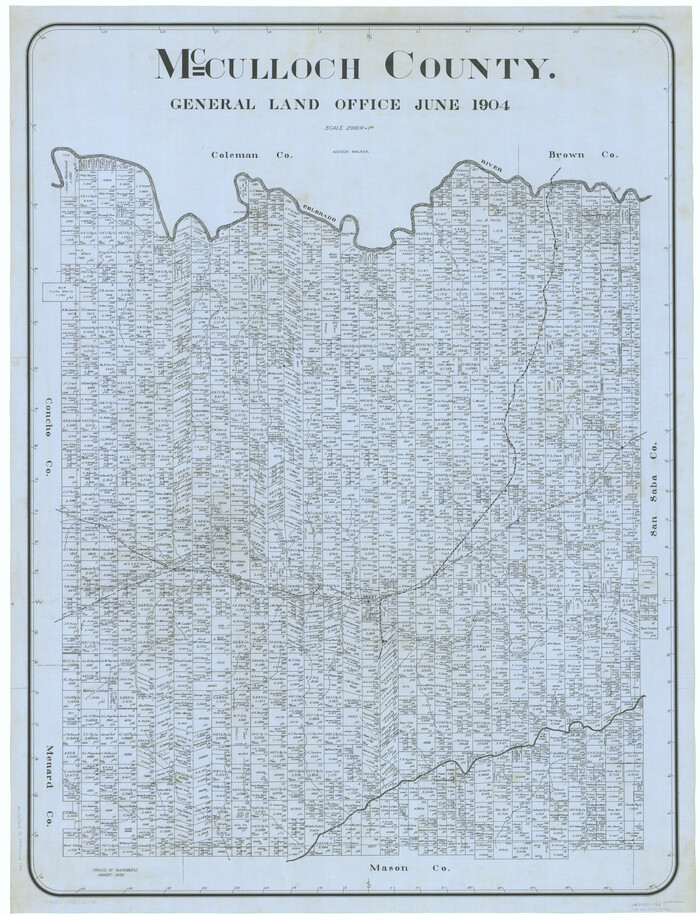

Print $20.00
- Digital $50.00
McCulloch County
1904
Size 46.9 x 35.9 inches
Map/Doc 66922
Flight Mission No. DQN-5K, Frame 23, Calhoun County


Print $20.00
- Digital $50.00
Flight Mission No. DQN-5K, Frame 23, Calhoun County
1953
Size 18.5 x 22.1 inches
Map/Doc 84374
Brown County Working Sketch 10
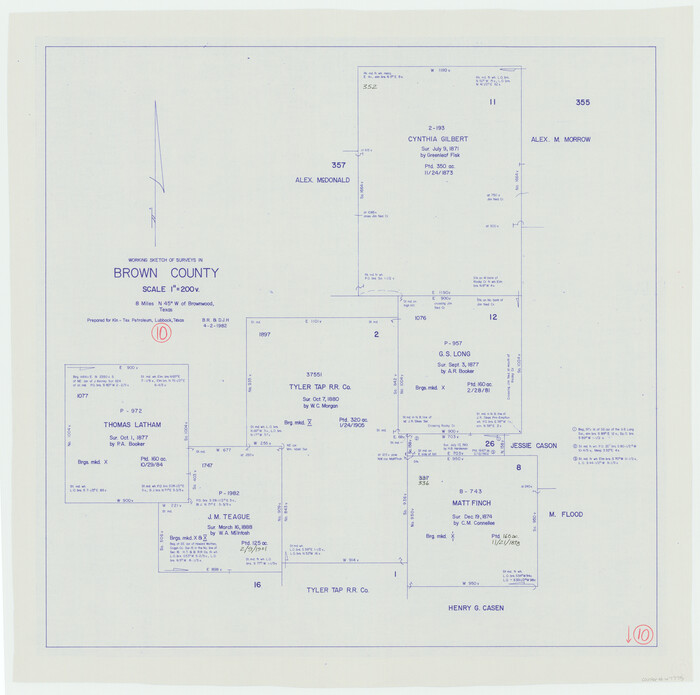

Print $20.00
- Digital $50.00
Brown County Working Sketch 10
1982
Size 25.3 x 25.5 inches
Map/Doc 67775
[Sketch of part of G. & M. Block 5, G. & M. Block 4, Block M19 and Block 21W]
![93081, [Sketch of part of G. & M. Block 5, G. & M. Block 4, Block M19 and Block 21W], Twichell Survey Records](https://historictexasmaps.com/wmedia_w700/maps/93081-1.tif.jpg)
![93081, [Sketch of part of G. & M. Block 5, G. & M. Block 4, Block M19 and Block 21W], Twichell Survey Records](https://historictexasmaps.com/wmedia_w700/maps/93081-1.tif.jpg)
Print $20.00
- Digital $50.00
[Sketch of part of G. & M. Block 5, G. & M. Block 4, Block M19 and Block 21W]
Size 21.7 x 16.6 inches
Map/Doc 93081
Northwest Part Crockett County


Print $20.00
- Digital $50.00
Northwest Part Crockett County
1983
Size 29.9 x 39.1 inches
Map/Doc 77252
Fractional Township No. 8 South Range No. 2 East of the Indian Meridian, Indian Territory
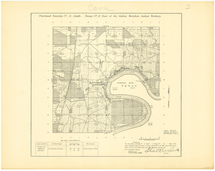

Print $20.00
- Digital $50.00
Fractional Township No. 8 South Range No. 2 East of the Indian Meridian, Indian Territory
1898
Size 19.3 x 24.3 inches
Map/Doc 75204
Smith County Rolled Sketch 2


Print $20.00
- Digital $50.00
Smith County Rolled Sketch 2
Size 36.6 x 35.5 inches
Map/Doc 75931
Terry County Working Sketch 4
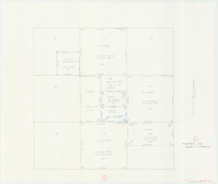

Print $20.00
- Digital $50.00
Terry County Working Sketch 4
Size 24.9 x 29.6 inches
Map/Doc 62109
Hill County Working Sketch 5


Print $20.00
- Digital $50.00
Hill County Working Sketch 5
2008
Size 32.2 x 31.6 inches
Map/Doc 89013
Houston Ship Channel, Atkinson Island to Alexander Island
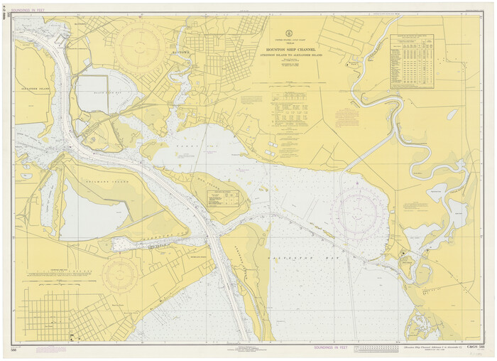

Print $40.00
- Digital $50.00
Houston Ship Channel, Atkinson Island to Alexander Island
1972
Size 36.9 x 50.0 inches
Map/Doc 69901
Flight Mission No. CGI-2N, Frame 154, Cameron County
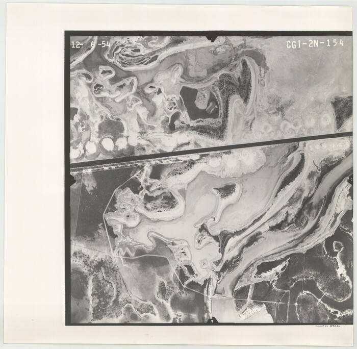

Print $20.00
- Digital $50.00
Flight Mission No. CGI-2N, Frame 154, Cameron County
1954
Size 18.6 x 19.0 inches
Map/Doc 84536
Flight Mission No. DQN-1K, Frame 70, Calhoun County


Print $20.00
- Digital $50.00
Flight Mission No. DQN-1K, Frame 70, Calhoun County
1953
Size 18.6 x 22.3 inches
Map/Doc 84157

