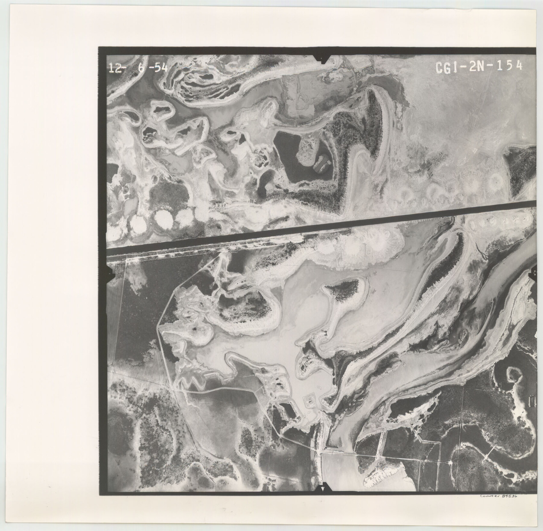
Flight Mission No. CGI-2N, Frame 154, Cameron County
CGI-2N-154
-
Map/Doc
84536
-
Collection
General Map Collection
-
Object Dates
1954/12/6 (Creation Date)
-
People and Organizations
U. S. Department of Agriculture (Publisher)
-
Counties
Cameron
-
Subjects
Aerial Photograph
-
Height x Width
18.6 x 19.0 inches
47.2 x 48.3 cm
-
Comments
Flown by Puckett Aerial Surveys, Inc. of Jackson, Mississippi.
Part of: General Map Collection
Refugio County Sketch File 8a

Print $2.00
- Digital $50.00
Refugio County Sketch File 8a
Size 8.1 x 10.2 inches
Map/Doc 35253
Val Verde County Working Sketch 18

Print $20.00
- Digital $50.00
Val Verde County Working Sketch 18
1928
Size 31.4 x 28.3 inches
Map/Doc 72153
Shackelford County Boundary File 7b

Print $90.00
- Digital $50.00
Shackelford County Boundary File 7b
Size 7.9 x 10.4 inches
Map/Doc 58692
Part of Laguna Madre from Mosquito Trangulation Station to Sand Triangulation Station

Print $20.00
- Digital $50.00
Part of Laguna Madre from Mosquito Trangulation Station to Sand Triangulation Station
1881
Size 16.4 x 26.9 inches
Map/Doc 73488
Terrell County Sketch File 22W

Print $20.00
- Digital $50.00
Terrell County Sketch File 22W
Size 19.6 x 21.7 inches
Map/Doc 12423
Flight Mission No. DQO-2K, Frame 88, Galveston County

Print $20.00
- Digital $50.00
Flight Mission No. DQO-2K, Frame 88, Galveston County
1952
Size 18.8 x 22.5 inches
Map/Doc 85015
Hardin County Sketch File 18

Print $6.00
- Digital $50.00
Hardin County Sketch File 18
1870
Size 9.8 x 8.6 inches
Map/Doc 25132
[New York, Texas & Mexican Railway]
![64148, [New York, Texas & Mexican Railway], General Map Collection](https://historictexasmaps.com/wmedia_w700/maps/64148.tif.jpg)
Print $20.00
- Digital $50.00
[New York, Texas & Mexican Railway]
Size 12.1 x 24.1 inches
Map/Doc 64148
Newton County Rolled Sketch 18

Print $40.00
- Digital $50.00
Newton County Rolled Sketch 18
1955
Size 41.6 x 59.2 inches
Map/Doc 9580
Hopkins County Sketch File 3

Print $4.00
- Digital $50.00
Hopkins County Sketch File 3
Size 10.0 x 8.1 inches
Map/Doc 26685
Maps of Gulf Intracoastal Waterway, Texas - Sabine River to the Rio Grande and connecting waterways including ship channels

Print $20.00
- Digital $50.00
Maps of Gulf Intracoastal Waterway, Texas - Sabine River to the Rio Grande and connecting waterways including ship channels
1966
Size 14.5 x 22.3 inches
Map/Doc 61942
Railroad Track Map, H&TCRRCo., Falls County, Texas

Print $4.00
- Digital $50.00
Railroad Track Map, H&TCRRCo., Falls County, Texas
1918
Size 11.4 x 18.5 inches
Map/Doc 62859
You may also like
Chambers County Sketch File 41

Print $32.00
- Digital $50.00
Chambers County Sketch File 41
Size 14.7 x 9.1 inches
Map/Doc 17694
Mills County Sketch File 23

Print $4.00
- Digital $50.00
Mills County Sketch File 23
Size 12.4 x 9.2 inches
Map/Doc 31672
Jackson County Boundary File 2

Print $22.00
- Digital $50.00
Jackson County Boundary File 2
Size 8.6 x 4.1 inches
Map/Doc 55437
Freestone County Sketch File 14a

Print $6.00
- Digital $50.00
Freestone County Sketch File 14a
1861
Size 5.3 x 5.9 inches
Map/Doc 23067
[Rockwall County School Land and adjacent Blocks]
![90758, [Rockwall County School Land and adjacent Blocks], Twichell Survey Records](https://historictexasmaps.com/wmedia_w700/maps/90758-1.tif.jpg)
Print $20.00
- Digital $50.00
[Rockwall County School Land and adjacent Blocks]
1904
Size 17.5 x 23.2 inches
Map/Doc 90758
Polk County Sketch File 30b

Print $4.00
- Digital $50.00
Polk County Sketch File 30b
Size 6.5 x 7.9 inches
Map/Doc 34219
General Highway Map, Cochran County, Texas

Print $20.00
General Highway Map, Cochran County, Texas
1940
Size 25.2 x 18.5 inches
Map/Doc 79048
Crosbyton (Jeff Williams Plan)

Print $20.00
- Digital $50.00
Crosbyton (Jeff Williams Plan)
Size 26.0 x 18.2 inches
Map/Doc 92126
Duval County Working Sketch 45

Print $20.00
- Digital $50.00
Duval County Working Sketch 45
1979
Size 29.7 x 30.8 inches
Map/Doc 68769
Reeves County Rolled Sketch 22

Print $20.00
- Digital $50.00
Reeves County Rolled Sketch 22
1960
Size 40.8 x 20.9 inches
Map/Doc 7490
Map of Stephens County, Texas

Print $20.00
Map of Stephens County, Texas
1870
Size 24.0 x 19.3 inches
Map/Doc 93588
