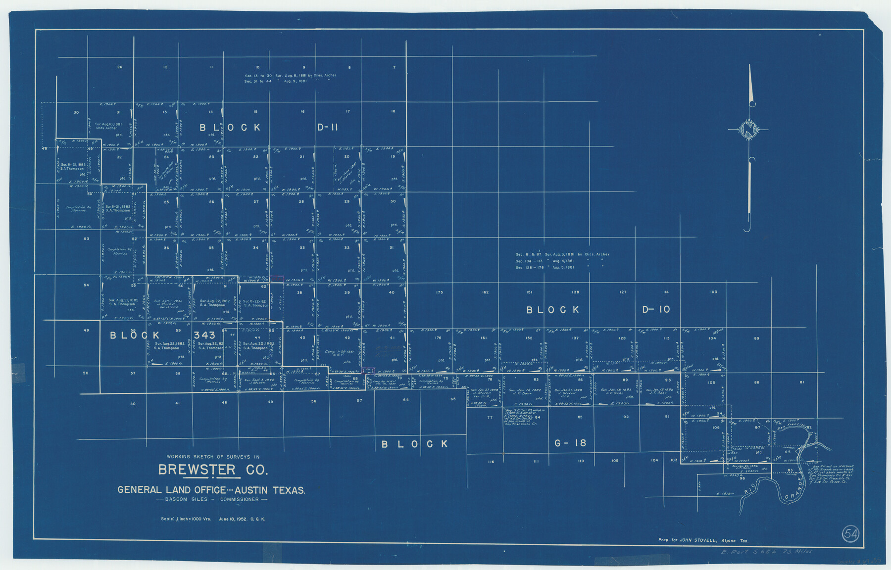
Brewster County Working Sketch 54
-
Map/Doc
67655
-
Collection
General Map Collection
-
Object Dates
6/18/1952 (Creation Date)
-
People and Organizations
Otto G. Kurio (Draftsman)
-
Counties
Brewster
-
Subjects
Surveying Working Sketch
-
Height x Width
23.7 x 37.0 inches
60.2 x 94.0 cm
-
Scale
1" = 1000 varas
Part of: General Map Collection
Real County Working Sketch 74

Print $20.00
- Digital $50.00
Real County Working Sketch 74
1979
Size 17.1 x 23.5 inches
Map/Doc 71966
Hopkins County Boundary File 3

Print $46.00
- Digital $50.00
Hopkins County Boundary File 3
Size 8.2 x 3.8 inches
Map/Doc 55059
Freestone County Working Sketch 13

Print $40.00
- Digital $50.00
Freestone County Working Sketch 13
1980
Size 42.8 x 59.7 inches
Map/Doc 69255
Crockett County Rolled Sketch 59

Print $20.00
- Digital $50.00
Crockett County Rolled Sketch 59
1946
Size 30.1 x 20.9 inches
Map/Doc 5602
United States - Gulf Coast - Galveston to Rio Grande

Print $20.00
- Digital $50.00
United States - Gulf Coast - Galveston to Rio Grande
1949
Size 26.6 x 18.2 inches
Map/Doc 72756
Flight Mission No. DAG-24K, Frame 147, Matagorda County

Print $20.00
- Digital $50.00
Flight Mission No. DAG-24K, Frame 147, Matagorda County
1953
Size 17.1 x 15.7 inches
Map/Doc 86561
Duval County Rolled Sketch 17

Print $20.00
- Digital $50.00
Duval County Rolled Sketch 17
1940
Size 18.9 x 17.9 inches
Map/Doc 5738
Trinity River, Big Creek Sheet

Print $40.00
- Digital $50.00
Trinity River, Big Creek Sheet
1924
Size 48.0 x 36.4 inches
Map/Doc 65179
Harris County Boundary File 39 (16)

Print $6.00
- Digital $50.00
Harris County Boundary File 39 (16)
Size 10.0 x 8.0 inches
Map/Doc 54354
Flight Mission No. DAG-21K, Frame 43, Matagorda County

Print $20.00
- Digital $50.00
Flight Mission No. DAG-21K, Frame 43, Matagorda County
1952
Size 18.9 x 22.6 inches
Map/Doc 86410
Harris County Historic Topographic 36

Print $20.00
- Digital $50.00
Harris County Historic Topographic 36
1916
Size 29.5 x 23.0 inches
Map/Doc 65847
Flight Mission No. DQO-8K, Frame 75, Galveston County

Print $20.00
- Digital $50.00
Flight Mission No. DQO-8K, Frame 75, Galveston County
1952
Size 18.7 x 22.5 inches
Map/Doc 85179
You may also like
Navarro County Working Sketch 10

Print $20.00
- Digital $50.00
Navarro County Working Sketch 10
1960
Size 29.7 x 26.0 inches
Map/Doc 71240
Fort Bend County Rolled Sketch 4

Print $20.00
- Digital $50.00
Fort Bend County Rolled Sketch 4
1956
Size 30.1 x 43.8 inches
Map/Doc 5894
Schleicher County Working Sketch 26

Print $20.00
- Digital $50.00
Schleicher County Working Sketch 26
1962
Size 27.3 x 30.0 inches
Map/Doc 63828
Flight Mission No. DAG-28K, Frame 23, Matagorda County

Print $20.00
- Digital $50.00
Flight Mission No. DAG-28K, Frame 23, Matagorda County
1953
Size 18.6 x 22.5 inches
Map/Doc 86591
Presidio County Rolled Sketch 33

Print $40.00
- Digital $50.00
Presidio County Rolled Sketch 33
Size 57.7 x 42.3 inches
Map/Doc 9772
Port of Galveston

Print $40.00
- Digital $50.00
Port of Galveston
1978
Size 20.0 x 68.9 inches
Map/Doc 83336
Palo Pinto County Sketch File 26

Print $8.00
- Digital $50.00
Palo Pinto County Sketch File 26
1993
Size 14.0 x 8.6 inches
Map/Doc 33441
Montgomery County

Print $20.00
- Digital $50.00
Montgomery County
1901
Size 42.2 x 47.4 inches
Map/Doc 66939
Childress County Rolled Sketch 9B

Print $20.00
- Digital $50.00
Childress County Rolled Sketch 9B
Size 17.3 x 23.6 inches
Map/Doc 5448
Orange County Rolled Sketch CR

Print $20.00
- Digital $50.00
Orange County Rolled Sketch CR
Size 39.4 x 31.5 inches
Map/Doc 9653
Scurry County Rolled Sketch 5

Print $40.00
- Digital $50.00
Scurry County Rolled Sketch 5
Size 48.4 x 41.1 inches
Map/Doc 9913
Map of Madison County

Print $20.00
- Digital $50.00
Map of Madison County
1858
Size 19.8 x 31.7 inches
Map/Doc 3834