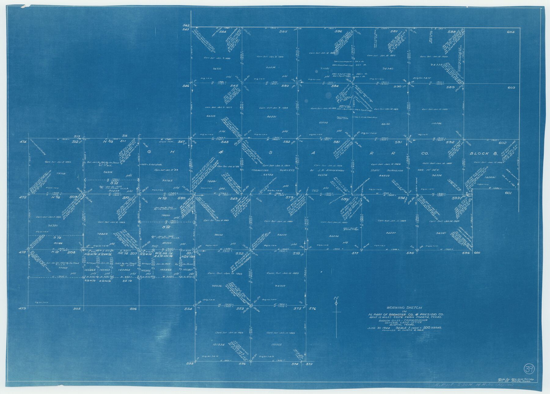
Brewster County Working Sketch 39
-
Map/Doc
67573
-
Collection
General Map Collection
-
Object Dates
6/30/1944 (Creation Date)
-
People and Organizations
Curtis R. Hale (Compiler)
-
Counties
Brewster Presidio
-
Subjects
Surveying Working Sketch
-
Height x Width
26.8 x 37.5 inches
68.1 x 95.3 cm
-
Scale
1" = 500 varas
Part of: General Map Collection
Jim Wells County Working Sketch 10

Print $20.00
- Digital $50.00
Jim Wells County Working Sketch 10
1952
Size 18.7 x 17.8 inches
Map/Doc 66608
Trinity River, Levee Improvement Districts Widths of Floodways/Chambers Creek

Print $4.00
- Digital $50.00
Trinity River, Levee Improvement Districts Widths of Floodways/Chambers Creek
1921
Size 18.6 x 28.3 inches
Map/Doc 65247
Yoakum County Rolled Sketch 4

Print $20.00
- Digital $50.00
Yoakum County Rolled Sketch 4
Size 19.1 x 24.9 inches
Map/Doc 8289
Fisher County Sketch File 3

Print $56.00
- Digital $50.00
Fisher County Sketch File 3
1886
Size 8.9 x 5.8 inches
Map/Doc 22549
Dimmit County Working Sketch 6

Print $20.00
- Digital $50.00
Dimmit County Working Sketch 6
1922
Size 23.0 x 16.7 inches
Map/Doc 68667
Potter County Working Sketch 6

Print $20.00
- Digital $50.00
Potter County Working Sketch 6
1959
Size 23.3 x 27.0 inches
Map/Doc 71666
Freestone County Sketch File 15

Print $4.00
- Digital $50.00
Freestone County Sketch File 15
Size 6.3 x 8.2 inches
Map/Doc 23070
Flight Mission No. DQO-8K, Frame 59, Galveston County

Print $20.00
- Digital $50.00
Flight Mission No. DQO-8K, Frame 59, Galveston County
1952
Size 18.6 x 22.4 inches
Map/Doc 85166
Wharton County Sketch File 10a

Print $20.00
- Digital $50.00
Wharton County Sketch File 10a
Size 11.0 x 19.0 inches
Map/Doc 12660

No. 3 Chart of Channel connecting Corpus Christi Bay with Aransas Bay, Texas

Print $20.00
- Digital $50.00
No. 3 Chart of Channel connecting Corpus Christi Bay with Aransas Bay, Texas
1878
Size 18.4 x 28.0 inches
Map/Doc 72775
Nueces County Sketch File 32

Print $32.00
- Digital $50.00
Nueces County Sketch File 32
1907
Size 14.2 x 8.7 inches
Map/Doc 32605
You may also like
Schleicher County Rolled Sketch 12

Print $20.00
- Digital $50.00
Schleicher County Rolled Sketch 12
1952
Size 28.8 x 29.0 inches
Map/Doc 7755
Map of Upshur County Showing Location T&P R.

Print $20.00
- Digital $50.00
Map of Upshur County Showing Location T&P R.
1872
Size 26.5 x 19.4 inches
Map/Doc 64137
Gregg County Rolled Sketch 16

Print $20.00
- Digital $50.00
Gregg County Rolled Sketch 16
1942
Size 29.0 x 36.7 inches
Map/Doc 6038
Map of Edwards County, Texas

Print $20.00
- Digital $50.00
Map of Edwards County, Texas
Size 21.5 x 18.2 inches
Map/Doc 92635
Montague County Rolled Sketch R

Print $20.00
- Digital $50.00
Montague County Rolled Sketch R
Size 44.3 x 29.8 inches
Map/Doc 6794
Shackelford County Working Sketch 2

Print $20.00
- Digital $50.00
Shackelford County Working Sketch 2
1914
Size 17.2 x 17.3 inches
Map/Doc 63842
Refugio County, Texas

Print $20.00
- Digital $50.00
Refugio County, Texas
1879
Size 19.9 x 29.0 inches
Map/Doc 600
Flight Mission No. DCL-6C, Frame 25, Kenedy County

Print $20.00
- Digital $50.00
Flight Mission No. DCL-6C, Frame 25, Kenedy County
1943
Size 18.4 x 22.4 inches
Map/Doc 85882
Brazoria County NRC Article 33.136 Sketch 27

Print $24.00
Brazoria County NRC Article 33.136 Sketch 27
2025
Map/Doc 97472
Hays County State Real Property Sketch 2

Print $20.00
- Digital $50.00
Hays County State Real Property Sketch 2
2006
Size 24.3 x 34.4 inches
Map/Doc 88619
North America, as divided amongst the European Powers

Print $20.00
- Digital $50.00
North America, as divided amongst the European Powers
1774
Size 14.1 x 18.7 inches
Map/Doc 97399
[Surveys in the Nacogdoches District, from the Sabine River to Cowleach Fork]
![282, [Surveys in the Nacogdoches District, from the Sabine River to Cowleach Fork], General Map Collection](https://historictexasmaps.com/wmedia_w700/maps/282.tif.jpg)
Print $3.00
- Digital $50.00
[Surveys in the Nacogdoches District, from the Sabine River to Cowleach Fork]
Size 15.6 x 11.5 inches
Map/Doc 282