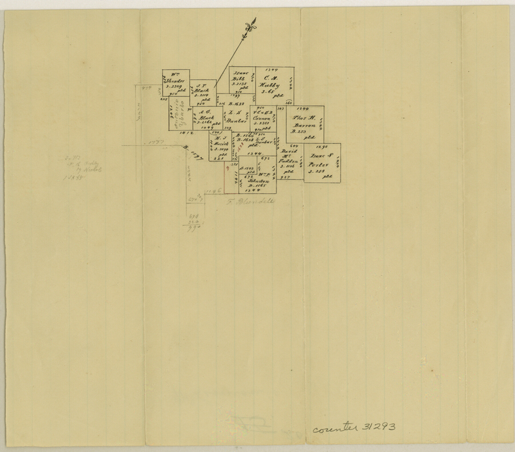
McLennan County Sketch File 20
[Office sketch of area west of Waco]
-
Map/Doc
31293
-
Collection
General Map Collection
-
People and Organizations
Pressler (Draftsman)
-
Counties
McLennan
-
Subjects
Surveying Sketch File
-
Height x Width
8.0 x 9.1 inches
20.3 x 23.1 cm
-
Medium
paper, manuscript
Part of: General Map Collection

Aransas County NRC Article 33.136 Sketch 15

Print $42.00
- Digital $50.00
Aransas County NRC Article 33.136 Sketch 15
Size 24.0 x 36.0 inches
Map/Doc 95316
Corpus Christi Harbor

Print $40.00
- Digital $50.00
Corpus Christi Harbor
1972
Size 36.9 x 52.3 inches
Map/Doc 73477
San Augustine County Sketch File 10

Print $4.00
San Augustine County Sketch File 10
Size 12.8 x 8.1 inches
Map/Doc 35652
Montague County Working Sketch 16

Print $20.00
- Digital $50.00
Montague County Working Sketch 16
1946
Size 44.1 x 40.8 inches
Map/Doc 71082
Trinity River, Cox Bluff Sheet

Print $20.00
- Digital $50.00
Trinity River, Cox Bluff Sheet
1926
Size 36.0 x 46.2 inches
Map/Doc 65214
[Maps of surveys in Reeves & Culberson Cos]
![61130, [Maps of surveys in Reeves & Culberson Cos], General Map Collection](https://historictexasmaps.com/wmedia_w700/maps/61130.tif.jpg)
Print $20.00
- Digital $50.00
[Maps of surveys in Reeves & Culberson Cos]
1937
Size 30.7 x 24.9 inches
Map/Doc 61130
La Salle County Sketch File 32

Print $16.00
- Digital $50.00
La Salle County Sketch File 32
1883
Size 14.3 x 8.8 inches
Map/Doc 29576
San Patricio County Working Sketch 3

Print $20.00
- Digital $50.00
San Patricio County Working Sketch 3
1917
Size 22.2 x 42.7 inches
Map/Doc 63765
Reagan County Rolled Sketch 13

Print $20.00
- Digital $50.00
Reagan County Rolled Sketch 13
Size 25.5 x 38.0 inches
Map/Doc 7441
Bandera County Boundary File 4a

Print $32.00
- Digital $50.00
Bandera County Boundary File 4a
Size 13.3 x 8.7 inches
Map/Doc 50276
Cass County Working Sketch 2

Print $20.00
- Digital $50.00
Cass County Working Sketch 2
1935
Size 24.7 x 36.7 inches
Map/Doc 67905
You may also like
Bailey County Working Sketch 6

Print $20.00
- Digital $50.00
Bailey County Working Sketch 6
1966
Size 37.0 x 34.5 inches
Map/Doc 67593
2016 Official Travel Map, Texas

2016 Official Travel Map, Texas
Size 33.3 x 36.2 inches
Map/Doc 94298
Erath County Boundary File 1

Print $8.00
- Digital $50.00
Erath County Boundary File 1
Size 13.1 x 8.8 inches
Map/Doc 53237
Brewster County Rolled Sketch 155

Print $20.00
- Digital $50.00
Brewster County Rolled Sketch 155
Size 36.8 x 24.7 inches
Map/Doc 78343
Kendall County Working Sketch 28a

Print $20.00
- Digital $50.00
Kendall County Working Sketch 28a
2006
Size 29.8 x 45.0 inches
Map/Doc 83097
Dimmit County Boundary File 3

Print $12.00
- Digital $50.00
Dimmit County Boundary File 3
Size 14.4 x 8.9 inches
Map/Doc 52566
La Salle County Sketch File 49

Print $20.00
- Digital $50.00
La Salle County Sketch File 49
1942
Size 47.7 x 14.9 inches
Map/Doc 10519
The Railroad System of Texas on September 1st, 1887

Print $20.00
- Digital $50.00
The Railroad System of Texas on September 1st, 1887
1887
Size 22.2 x 28.2 inches
Map/Doc 3036
Corpus Christi Bay, Texas

Print $40.00
- Digital $50.00
Corpus Christi Bay, Texas
1867
Size 31.9 x 48.8 inches
Map/Doc 73468
Map of Tom Green Co.

Print $40.00
- Digital $50.00
Map of Tom Green Co.
1880
Size 42.5 x 74.3 inches
Map/Doc 82062
Milam County Boundary File 65

Print $10.00
- Digital $50.00
Milam County Boundary File 65
Size 8.8 x 7.8 inches
Map/Doc 57251
Trinity River, Clear Lake Sheet/East Fork of Trinity River and Pilot Grove Creek

Print $6.00
- Digital $50.00
Trinity River, Clear Lake Sheet/East Fork of Trinity River and Pilot Grove Creek
1923
Size 33.0 x 31.1 inches
Map/Doc 65194