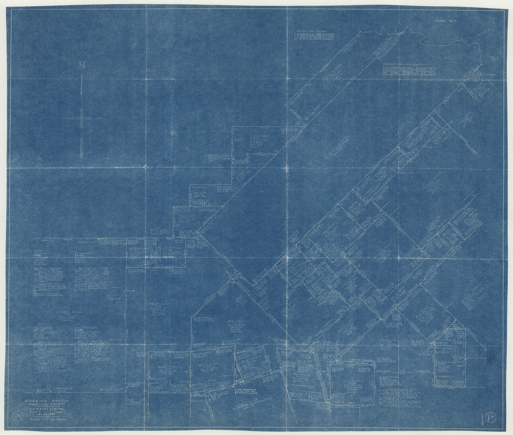
Angelina County Working Sketch 14
-
Map/Doc
67095
-
Collection
General Map Collection
-
Object Dates
1/31/1935 (Creation Date)
-
Counties
Angelina
-
Subjects
Surveying Working Sketch
-
Height x Width
29.6 x 34.9 inches
75.2 x 88.7 cm
-
Scale
1" = 20 chains
-
Comments
Surveys located about 16 miles South 65 degrees East from Lufkin, Texas.
Part of: General Map Collection
Travis County Boundary File 30

Print $4.00
- Digital $50.00
Travis County Boundary File 30
Size 10.4 x 8.6 inches
Map/Doc 59469
Young County Rolled Sketch 12

Print $20.00
- Digital $50.00
Young County Rolled Sketch 12
Size 24.2 x 17.9 inches
Map/Doc 8300
Fisher County Rolled Sketch 4A

Print $20.00
- Digital $50.00
Fisher County Rolled Sketch 4A
1951
Size 31.0 x 36.6 inches
Map/Doc 8889
Polk County Working Sketch 9

Print $20.00
- Digital $50.00
Polk County Working Sketch 9
1934
Size 22.7 x 30.8 inches
Map/Doc 71624
[Sketch for Mineral Application 26501 - Sabine River, T. A. Oldhausen]
![2841, [Sketch for Mineral Application 26501 - Sabine River, T. A. Oldhausen], General Map Collection](https://historictexasmaps.com/wmedia_w700/maps/2841.tif.jpg)
Print $20.00
- Digital $50.00
[Sketch for Mineral Application 26501 - Sabine River, T. A. Oldhausen]
1931
Size 24.4 x 36.8 inches
Map/Doc 2841
Medina County

Print $40.00
- Digital $50.00
Medina County
1976
Size 50.6 x 40.9 inches
Map/Doc 77370
Galveston County Rolled Sketch 32

Print $20.00
- Digital $50.00
Galveston County Rolled Sketch 32
1979
Size 44.3 x 31.0 inches
Map/Doc 9015
Morris County Rolled Sketch 2A

Print $20.00
- Digital $50.00
Morris County Rolled Sketch 2A
Size 22.6 x 17.7 inches
Map/Doc 10285
King County Working Sketch 1

Print $20.00
- Digital $50.00
King County Working Sketch 1
1913
Size 18.2 x 23.8 inches
Map/Doc 70165
McMullen County Working Sketch 25

Print $20.00
- Digital $50.00
McMullen County Working Sketch 25
1952
Size 37.5 x 43.5 inches
Map/Doc 70726
Calhoun County Rolled Sketch 14

Print $20.00
- Digital $50.00
Calhoun County Rolled Sketch 14
Size 22.2 x 40.7 inches
Map/Doc 5455
Flight Mission No. CUG-1P, Frame 71, Kleberg County

Print $20.00
- Digital $50.00
Flight Mission No. CUG-1P, Frame 71, Kleberg County
1956
Size 18.5 x 22.2 inches
Map/Doc 86136
You may also like
Brazoria County Sketch File 21

Print $4.00
- Digital $50.00
Brazoria County Sketch File 21
Size 8.3 x 7.5 inches
Map/Doc 15016
Palo Pinto County Working Sketch 23

Print $40.00
- Digital $50.00
Palo Pinto County Working Sketch 23
1985
Map/Doc 71406
Live Oak County Working Sketch 30

Print $20.00
- Digital $50.00
Live Oak County Working Sketch 30
1988
Size 19.0 x 25.9 inches
Map/Doc 70615
Dickens County

Print $20.00
- Digital $50.00
Dickens County
1891
Size 27.7 x 21.9 inches
Map/Doc 66804
Lamar County Working Sketch 7

Print $20.00
- Digital $50.00
Lamar County Working Sketch 7
1964
Size 18.7 x 17.6 inches
Map/Doc 70268
Brown County Working Sketch 9

Print $40.00
- Digital $50.00
Brown County Working Sketch 9
1977
Size 63.7 x 36.4 inches
Map/Doc 67774
Harrison County Sketch File 22

Print $20.00
- Digital $50.00
Harrison County Sketch File 22
1917
Size 24.6 x 23.4 inches
Map/Doc 11695
South Montgomery County, Woodlands Chamber of Commerce Street Map

South Montgomery County, Woodlands Chamber of Commerce Street Map
Size 50.0 x 37.8 inches
Map/Doc 94364
Map of Val Verde County

Print $40.00
- Digital $50.00
Map of Val Verde County
1898
Size 80.7 x 42.7 inches
Map/Doc 16913
Starr County Working Sketch 6

Print $20.00
- Digital $50.00
Starr County Working Sketch 6
Size 24.3 x 16.2 inches
Map/Doc 63922
Parker County Sketch File 44

Print $6.00
- Digital $50.00
Parker County Sketch File 44
1874
Size 11.0 x 13.5 inches
Map/Doc 33608
Flight Mission No. BQR-13K, Frame 116, Brazoria County

Print $20.00
- Digital $50.00
Flight Mission No. BQR-13K, Frame 116, Brazoria County
1952
Size 18.7 x 22.4 inches
Map/Doc 84077