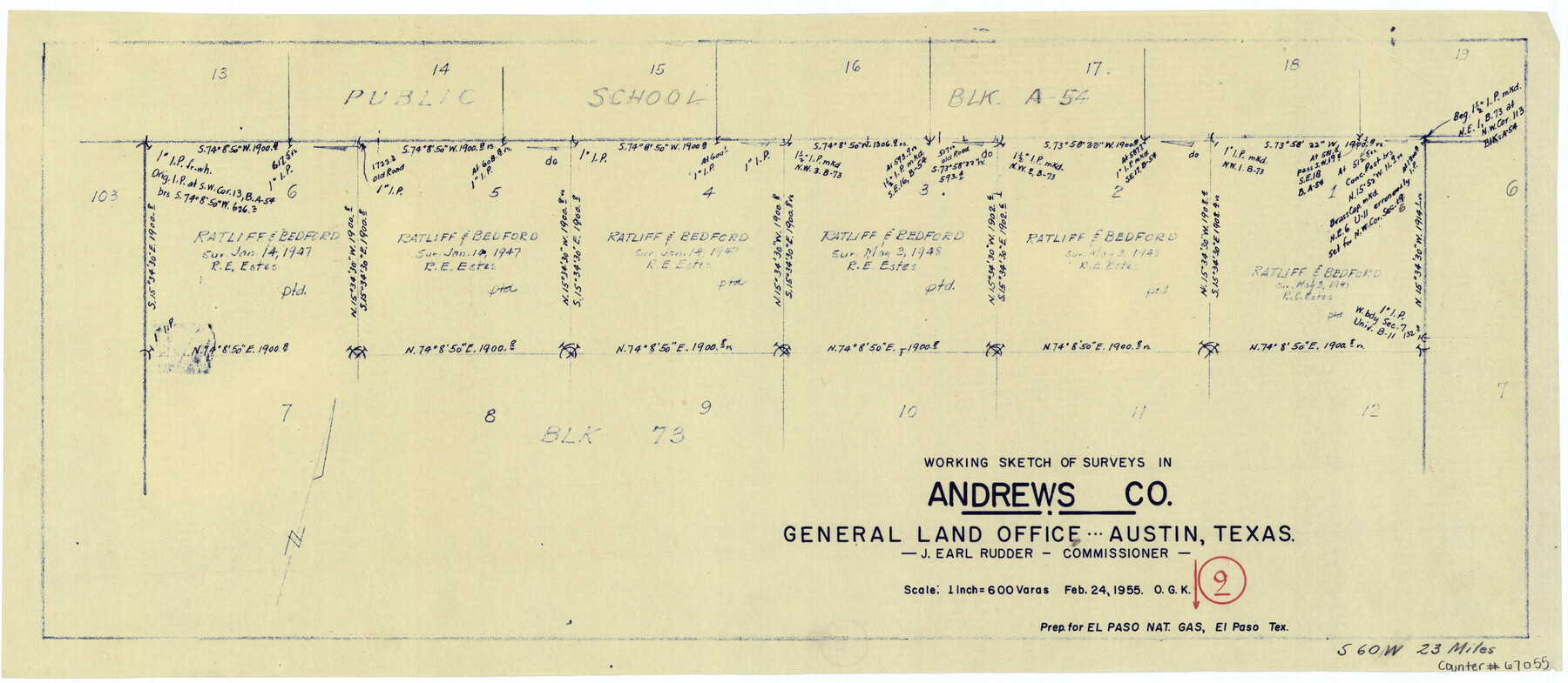
Andrews County Working Sketch 9
-
Map/Doc
67055
-
Collection
General Map Collection
-
Object Dates
2/24/1955 (Creation Date)
-
People and Organizations
J. Earl Rudder (GLO Commissioner)
Otto G. Kurio (Draftsman)
-
Counties
Andrews
-
Subjects
Surveying Working Sketch
-
Height x Width
10.2 x 23.3 inches
25.9 x 59.2 cm
-
Scale
1" = 600 varas
-
Comments
Surveys located about 23 miles South 60 degrees West of Andrews, Texas.
Part of: General Map Collection
Glasscock County Sketch File 27

Print $10.00
- Digital $50.00
Glasscock County Sketch File 27
1989
Size 11.3 x 8.8 inches
Map/Doc 24206
Refugio County Sketch File 12

Print $4.00
- Digital $50.00
Refugio County Sketch File 12
Size 8.0 x 12.8 inches
Map/Doc 35263
Jeff Davis County Sketch File 3

Print $22.00
- Digital $50.00
Jeff Davis County Sketch File 3
Size 12.3 x 8.6 inches
Map/Doc 27892
Duval County Rolled Sketch 28

Print $20.00
- Digital $50.00
Duval County Rolled Sketch 28
1947
Size 15.9 x 23.7 inches
Map/Doc 5745
Harrison County Working Sketch 33

Print $20.00
- Digital $50.00
Harrison County Working Sketch 33
2015
Size 19.8 x 22.8 inches
Map/Doc 93725
Young County Boundary File 2

Print $6.00
- Digital $50.00
Young County Boundary File 2
Size 14.2 x 8.7 inches
Map/Doc 60202
Hood County Working Sketch 25

Print $20.00
- Digital $50.00
Hood County Working Sketch 25
1995
Size 25.8 x 37.7 inches
Map/Doc 66219
Edwards County Working Sketch 16

Print $20.00
- Digital $50.00
Edwards County Working Sketch 16
1929
Size 21.5 x 21.5 inches
Map/Doc 68892
Current Miscellaneous File 34

Print $10.00
- Digital $50.00
Current Miscellaneous File 34
1953
Size 14.1 x 8.7 inches
Map/Doc 73942
Montgomery County Working Sketch 75

Print $40.00
- Digital $50.00
Montgomery County Working Sketch 75
1986
Size 30.9 x 82.8 inches
Map/Doc 71182
Jefferson County

Print $20.00
- Digital $50.00
Jefferson County
1873
Size 22.9 x 19.9 inches
Map/Doc 3728
Trinity County Sketch File 9

Print $41.00
- Digital $50.00
Trinity County Sketch File 9
Size 8.5 x 7.8 inches
Map/Doc 38516
You may also like
Brewster County Working Sketch 44

Print $20.00
- Digital $50.00
Brewster County Working Sketch 44
1947
Size 28.9 x 34.8 inches
Map/Doc 67578
Lipscomb County Boundary File 5

Print $4.00
- Digital $50.00
Lipscomb County Boundary File 5
Size 5.5 x 8.6 inches
Map/Doc 56327
Williamson County Working Sketch 9

Print $20.00
- Digital $50.00
Williamson County Working Sketch 9
1954
Size 31.2 x 30.0 inches
Map/Doc 72569
Bosque County Working Sketch 3

Print $20.00
- Digital $50.00
Bosque County Working Sketch 3
1901
Size 16.5 x 20.4 inches
Map/Doc 78192
Harris County Rolled Sketch 85

Print $20.00
- Digital $50.00
Harris County Rolled Sketch 85
1968
Size 22.0 x 32.0 inches
Map/Doc 6119
Winkler County Sketch File 14

Print $20.00
- Digital $50.00
Winkler County Sketch File 14
Size 29.4 x 24.3 inches
Map/Doc 12698
Texas City. First and Second Division

Print $20.00
- Digital $50.00
Texas City. First and Second Division
1892
Size 24.3 x 19.1 inches
Map/Doc 95355
Sabine County Sketch File 5

Print $8.00
Sabine County Sketch File 5
1876
Size 12.9 x 8.5 inches
Map/Doc 35608
Bastrop County Working Sketch 9

Print $20.00
- Digital $50.00
Bastrop County Working Sketch 9
1981
Size 44.9 x 43.7 inches
Map/Doc 67309
Gaines County

Print $40.00
- Digital $50.00
Gaines County
1902
Size 38.9 x 49.7 inches
Map/Doc 66832
Map of Shackelford County, Texas

Print $20.00
- Digital $50.00
Map of Shackelford County, Texas
Size 47.3 x 42.8 inches
Map/Doc 78398
