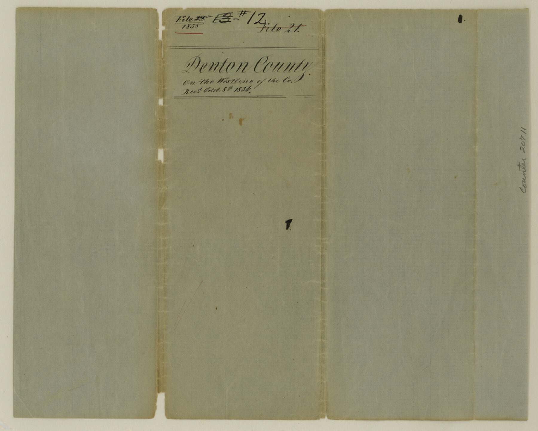
Denton County Sketch File 12
[Sketch of surveys near Denton Creek and the west line of the county]
-
Map/Doc
20711
-
Collection
General Map Collection
-
Object Dates
1856/5/29 (Creation Date)
-
People and Organizations
C. Stremme (Surveyor/Engineer)
-
Counties
Denton
-
Subjects
Surveying Sketch File
-
Height x Width
8.3 x 10.3 inches
21.1 x 26.2 cm
-
Medium
paper, manuscript
-
Scale
1:4000
-
Features
Denton Creek
Part of: General Map Collection
Clay County Sketch File 46

Print $20.00
- Digital $50.00
Clay County Sketch File 46
1890
Size 18.9 x 19.3 inches
Map/Doc 11098
Cooke County Sketch File 14

Print $4.00
- Digital $50.00
Cooke County Sketch File 14
Size 10.3 x 8.2 inches
Map/Doc 19248
Aransas Pass to Baffin Bay

Print $20.00
- Digital $50.00
Aransas Pass to Baffin Bay
1981
Size 43.0 x 35.0 inches
Map/Doc 73420
Crockett County Working Sketch 34

Print $40.00
- Digital $50.00
Crockett County Working Sketch 34
1926
Size 24.7 x 59.5 inches
Map/Doc 68367
Kinney County Working Sketch 50

Print $20.00
- Digital $50.00
Kinney County Working Sketch 50
1980
Size 19.4 x 26.9 inches
Map/Doc 70232
Galveston County Sketch File 52

Print $27.00
- Digital $50.00
Galveston County Sketch File 52
1915
Size 10.1 x 12.3 inches
Map/Doc 23516
La Salle County Sketch File 20

Print $34.00
- Digital $50.00
La Salle County Sketch File 20
1887
Size 13.6 x 8.7 inches
Map/Doc 29519
Brewster County Sketch File 42

Print $40.00
- Digital $50.00
Brewster County Sketch File 42
1914
Size 11.5 x 19.0 inches
Map/Doc 10981
Flight Mission No. BRA-7M, Frame 142, Jefferson County

Print $20.00
- Digital $50.00
Flight Mission No. BRA-7M, Frame 142, Jefferson County
1953
Size 18.6 x 22.5 inches
Map/Doc 85536
Cass County Sketch File 16

Print $4.00
- Digital $50.00
Cass County Sketch File 16
Size 8.5 x 12.8 inches
Map/Doc 17416
Fort Bend County Rolled Sketch 16A

Print $60.00
- Digital $50.00
Fort Bend County Rolled Sketch 16A
1890
Size 10.6 x 16.6 inches
Map/Doc 44755
Milam County Boundary File 6c

Print $2.00
- Digital $50.00
Milam County Boundary File 6c
Size 11.2 x 8.5 inches
Map/Doc 57250
You may also like
Travis County Sketch File 62

Print $20.00
- Digital $50.00
Travis County Sketch File 62
1929
Size 20.6 x 18.2 inches
Map/Doc 12473
San Augustine County Sketch File 4

Print $4.00
San Augustine County Sketch File 4
1849
Size 6.5 x 5.4 inches
Map/Doc 35640
Culberson County Working Sketch 23

Print $20.00
- Digital $50.00
Culberson County Working Sketch 23
1945
Size 38.3 x 44.7 inches
Map/Doc 68476
Map of a part of Laguna Madre showing subdivision for mineral development

Print $40.00
- Digital $50.00
Map of a part of Laguna Madre showing subdivision for mineral development
1946
Size 50.0 x 29.0 inches
Map/Doc 2915
Flight Mission No. DIX-5P, Frame 114, Aransas County

Print $20.00
- Digital $50.00
Flight Mission No. DIX-5P, Frame 114, Aransas County
1956
Size 17.4 x 17.6 inches
Map/Doc 83793
General Highway Map, Goliad County, Texas

Print $20.00
General Highway Map, Goliad County, Texas
1961
Size 18.2 x 24.7 inches
Map/Doc 79481
[Map showing T&P Lands in El Paso County]
![88932, [Map showing T&P Lands in El Paso County], Library of Congress](https://historictexasmaps.com/wmedia_w700/maps/88932.tif.jpg)
Print $20.00
[Map showing T&P Lands in El Paso County]
Size 22.2 x 17.1 inches
Map/Doc 88932
Comal County Rolled Sketch 5

Print $20.00
- Digital $50.00
Comal County Rolled Sketch 5
1985
Size 30.6 x 26.7 inches
Map/Doc 5540
Travis County Rolled Sketch 45

Print $20.00
- Digital $50.00
Travis County Rolled Sketch 45
Size 19.1 x 25.0 inches
Map/Doc 8042
Winkler County Rolled Sketch 7

Print $20.00
- Digital $50.00
Winkler County Rolled Sketch 7
1929
Size 27.6 x 32.5 inches
Map/Doc 8273
Port Mansfield

Print $20.00
- Digital $50.00
Port Mansfield
1968
Size 37.1 x 44.2 inches
Map/Doc 3043
[Surveys in the Milam District along the Brazos River, North Bosque River, West Bosque River and Cow Bayou]
![231, [Surveys in the Milam District along the Brazos River, North Bosque River, West Bosque River and Cow Bayou], General Map Collection](https://historictexasmaps.com/wmedia_w700/maps/231.tif.jpg)
Print $2.00
- Digital $50.00
[Surveys in the Milam District along the Brazos River, North Bosque River, West Bosque River and Cow Bayou]
1846
Size 11.7 x 8.9 inches
Map/Doc 231