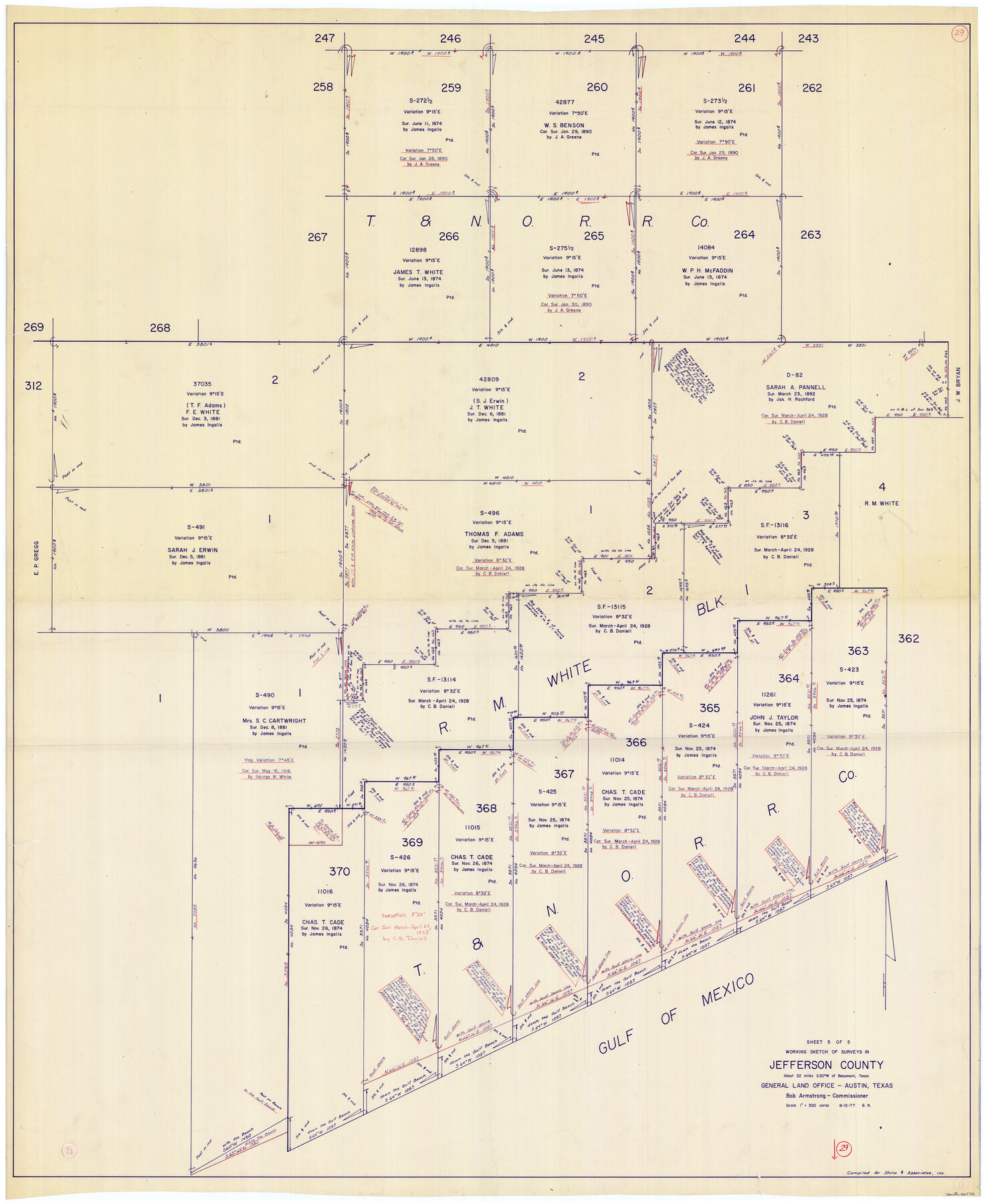
Jefferson County Working Sketch 29
-
Map/Doc
66572
-
Collection
General Map Collection
-
Object Dates
8/15/1977 (Creation Date)
-
People and Organizations
Beverly Robison (Draftsman)
-
Counties
Jefferson
-
Subjects
Surveying Working Sketch
-
Height x Width
52.4 x 42.7 inches
133.1 x 108.5 cm
-
Scale
1" = 300 varas
Part of: General Map Collection
Menard County Boundary File 10

Print $4.00
- Digital $50.00
Menard County Boundary File 10
Size 14.2 x 8.7 inches
Map/Doc 57096
Crane County Working Sketch 13

Print $20.00
- Digital $50.00
Crane County Working Sketch 13
1944
Size 23.4 x 17.6 inches
Map/Doc 68290
Newton County Working Sketch 18

Print $20.00
- Digital $50.00
Newton County Working Sketch 18
1950
Size 14.3 x 13.6 inches
Map/Doc 71264
Wise County Sketch File 22

Print $4.00
- Digital $50.00
Wise County Sketch File 22
1860
Size 7.5 x 7.2 inches
Map/Doc 40566
Stonewall County Working Sketch 24

Print $20.00
- Digital $50.00
Stonewall County Working Sketch 24
1973
Size 27.1 x 30.9 inches
Map/Doc 62331

Cottle County Sketch File 15

Print $4.00
- Digital $50.00
Cottle County Sketch File 15
1891
Size 11.2 x 9.0 inches
Map/Doc 19516
Flight Mission No. CRC-3R, Frame 56, Chambers County

Print $20.00
- Digital $50.00
Flight Mission No. CRC-3R, Frame 56, Chambers County
1956
Size 18.6 x 22.3 inches
Map/Doc 84828
Val Verde County Rolled Sketch 68

Print $20.00
- Digital $50.00
Val Verde County Rolled Sketch 68
1958
Size 17.6 x 18.7 inches
Map/Doc 8131

Atascosa County Sketch File 29

Print $40.00
- Digital $50.00
Atascosa County Sketch File 29
Size 23.7 x 12.9 inches
Map/Doc 10863
Gulf Intracoastal Waterway - Aransas Bay to Corpus Christi Bay - Modified Route Main Channel

Print $20.00
- Digital $50.00
Gulf Intracoastal Waterway - Aransas Bay to Corpus Christi Bay - Modified Route Main Channel
1960
Size 31.3 x 42.7 inches
Map/Doc 61902
You may also like
Collin County Texas

Print $20.00
- Digital $50.00
Collin County Texas
1895
Size 20.7 x 17.5 inches
Map/Doc 794
La Salle County Rolled Sketch 8

Print $20.00
- Digital $50.00
La Salle County Rolled Sketch 8
Size 21.4 x 43.9 inches
Map/Doc 6571
Cameron County Sketch File 3

Print $42.00
- Digital $50.00
Cameron County Sketch File 3
1930
Size 11.1 x 8.8 inches
Map/Doc 17023
[Fort Worth & Rio Grande Ry.] Map, Tracings of Located Line, Dublin to Comanche
![64353, [Fort Worth & Rio Grande Ry.] Map, Tracings of Located Line, Dublin to Comanche, General Map Collection](https://historictexasmaps.com/wmedia_w700/maps/64353.tif.jpg)
Print $20.00
- Digital $50.00
[Fort Worth & Rio Grande Ry.] Map, Tracings of Located Line, Dublin to Comanche
Size 15.3 x 41.6 inches
Map/Doc 64353
Fifteenth Census 1930 Population - Texas

Print $20.00
- Digital $50.00
Fifteenth Census 1930 Population - Texas
1930
Size 19.5 x 22.6 inches
Map/Doc 2146
United States - Gulf Coast - From Latitude 26° 33' to the Rio Grande Texas

Print $20.00
- Digital $50.00
United States - Gulf Coast - From Latitude 26° 33' to the Rio Grande Texas
1913
Size 18.5 x 27.6 inches
Map/Doc 72841
Jeff Davis County Sketch File 30

Print $26.00
- Digital $50.00
Jeff Davis County Sketch File 30
1922
Size 14.1 x 8.5 inches
Map/Doc 28014
Corpus Christi and Rio Grande Railway Company

Print $20.00
Corpus Christi and Rio Grande Railway Company
Size 14.6 x 24.0 inches
Map/Doc 95314

Right of Way & Track Map, St. Louis, Brownsville & Mexico Ry. operated by St. Louis, Brownsville & Mexico Ry. Co.

Print $40.00
- Digital $50.00
Right of Way & Track Map, St. Louis, Brownsville & Mexico Ry. operated by St. Louis, Brownsville & Mexico Ry. Co.
1919
Size 25.5 x 57.0 inches
Map/Doc 64626

Midland County Sketch File 9

Print $20.00
- Digital $50.00
Midland County Sketch File 9
Size 19.7 x 29.2 inches
Map/Doc 12085