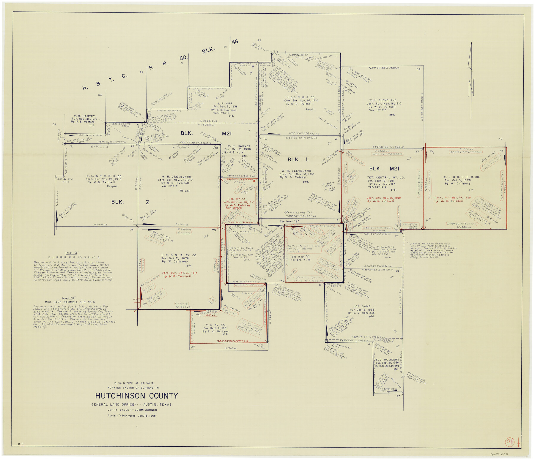
Hutchinson County Working Sketch 21
-
Map/Doc
66381
-
Collection
General Map Collection
-
Object Dates
1/12/1965 (Creation Date)
-
People and Organizations
Roy Buckholts (Draftsman)
-
Counties
Hutchinson
-
Subjects
Surveying Working Sketch
-
Height x Width
35.0 x 40.8 inches
88.9 x 103.6 cm
-
Scale
1" = 300 varas
Part of: General Map Collection
Map of San Jacinto County

Print $20.00
- Digital $50.00
Map of San Jacinto County
1879
Size 27.0 x 18.1 inches
Map/Doc 4624
Aransas County Boundary File 8

Print $135.00
- Digital $50.00
Aransas County Boundary File 8
Size 33.6 x 74.0 inches
Map/Doc 50043
Briscoe County Rolled Sketch 11A

Print $20.00
- Digital $50.00
Briscoe County Rolled Sketch 11A
1913
Size 11.7 x 12.3 inches
Map/Doc 5329
Gregg County Working Sketch 15

Print $20.00
- Digital $50.00
Gregg County Working Sketch 15
1941
Size 24.8 x 29.5 inches
Map/Doc 63282
Colorado County

Print $20.00
- Digital $50.00
Colorado County
1847
Size 23.7 x 31.4 inches
Map/Doc 3424
Kent County Working Sketch 3b

Print $20.00
- Digital $50.00
Kent County Working Sketch 3b
1948
Size 24.9 x 23.3 inches
Map/Doc 70010

Uvalde County Sketch File 33

Print $56.00
- Digital $50.00
Uvalde County Sketch File 33
2017
Size 11.0 x 8.5 inches
Map/Doc 95251
Grayson County Sketch File 25

Print $6.00
- Digital $50.00
Grayson County Sketch File 25
Size 8.4 x 7.1 inches
Map/Doc 24507
Armstrong County Sketch File A-14

Print $60.00
- Digital $50.00
Armstrong County Sketch File A-14
Size 17.4 x 20.2 inches
Map/Doc 10855
Hopkins County Sketch File 8

Print $6.00
- Digital $50.00
Hopkins County Sketch File 8
1856
Size 11.8 x 8.6 inches
Map/Doc 26695
Sterling County Sketch File 17b

Print $4.00
- Digital $50.00
Sterling County Sketch File 17b
Size 8.6 x 12.7 inches
Map/Doc 37167
You may also like
Map of Blocks A, B and C in Parmer County, Texas showing a portion of the C. F. L. & I. Co's. XIT Lands

Print $20.00
- Digital $50.00
Map of Blocks A, B and C in Parmer County, Texas showing a portion of the C. F. L. & I. Co's. XIT Lands
1905
Size 24.2 x 29.4 inches
Map/Doc 91611
Fisher County Sketch File 22

Print $12.00
- Digital $50.00
Fisher County Sketch File 22
Size 11.4 x 8.8 inches
Map/Doc 22651
Leon County Rolled Sketch 14

Print $20.00
- Digital $50.00
Leon County Rolled Sketch 14
1976
Size 33.4 x 27.9 inches
Map/Doc 9432
Paul McCombs Field Book on 80 Mile Reservation west of the Pecos

Print $148.00
- Digital $50.00
Paul McCombs Field Book on 80 Mile Reservation west of the Pecos
1883
Size 7.8 x 6.0 inches
Map/Doc 2238
Nueces River, North Extension Clarkwood Sheet

Print $2.00
- Digital $50.00
Nueces River, North Extension Clarkwood Sheet
1942
Size 14.5 x 17.7 inches
Map/Doc 65100
General Highway Map. Detail of Cities and Towns in Bowie County, Texas

Print $20.00
General Highway Map. Detail of Cities and Towns in Bowie County, Texas
1961
Size 18.0 x 24.8 inches
Map/Doc 79381
Americae Sive Novi Orbis Nova Descriptio

Print $20.00
- Digital $50.00
Americae Sive Novi Orbis Nova Descriptio
1606
Size 16.4 x 22.3 inches
Map/Doc 93829

Kent County Working Sketch 17

Print $20.00
- Digital $50.00
Kent County Working Sketch 17
1973
Size 34.8 x 36.4 inches
Map/Doc 70024

Goliad County Working Sketch 2

Print $20.00
- Digital $50.00
Goliad County Working Sketch 2
1916
Size 15.5 x 21.6 inches
Map/Doc 63192
![91233, [Block R], Twichell Survey Records](https://historictexasmaps.com/wmedia_w700/maps/91233-1.tif.jpg)