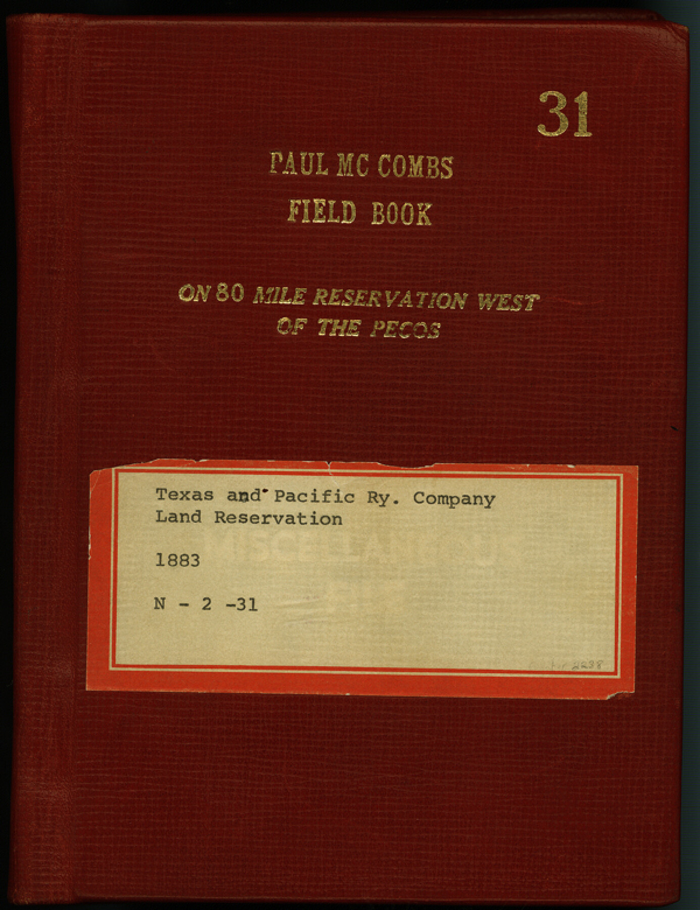
Paul McCombs Field Book on 80 Mile Reservation west of the Pecos
N-2-31
-
Map/Doc
2238
-
Collection
General Map Collection
-
Object Dates
1883/9/17 (Creation Date)
-
People and Organizations
Paul McCombs (Surveyor/Engineer)
-
Counties
El Paso Presidio Reeves
-
Subjects
Texas and Pacific Railroad
-
Height x Width
7.8 x 6.0 inches
19.8 x 15.2 cm
Part of: General Map Collection
East Part of Liberty Co.

Print $20.00
- Digital $50.00
East Part of Liberty Co.
1977
Size 47.9 x 36.9 inches
Map/Doc 95569
Bee County Sketch File 14

Print $40.00
- Digital $50.00
Bee County Sketch File 14
1878
Size 14.5 x 12.5 inches
Map/Doc 14297
Eastland County Working Sketch 3

Print $20.00
- Digital $50.00
Eastland County Working Sketch 3
1917
Size 16.5 x 20.2 inches
Map/Doc 68784
Brewster County Working Sketch 47

Print $20.00
- Digital $50.00
Brewster County Working Sketch 47
1949
Size 42.9 x 35.4 inches
Map/Doc 67581
Matagorda County Rolled Sketch 39

Print $40.00
- Digital $50.00
Matagorda County Rolled Sketch 39
1973
Size 24.4 x 114.0 inches
Map/Doc 10743
Tom Green County Sketch File 50

Print $20.00
- Digital $50.00
Tom Green County Sketch File 50
1884
Size 25.4 x 34.5 inches
Map/Doc 12442
Topographical Map of the Rio Grande from Roma to the Gulf of Mexico, Index Map, Sheet No. 1

Print $20.00
- Digital $50.00
Topographical Map of the Rio Grande from Roma to the Gulf of Mexico, Index Map, Sheet No. 1
1912
Map/Doc 89523
Duval County Working Sketch 35

Print $20.00
- Digital $50.00
Duval County Working Sketch 35
1956
Size 17.2 x 16.5 inches
Map/Doc 68759
Caldwell County Working Sketch 4

Print $20.00
- Digital $50.00
Caldwell County Working Sketch 4
1922
Size 46.1 x 43.5 inches
Map/Doc 67834
Flight Mission No. CGI-3N, Frame 166, Cameron County

Print $20.00
- Digital $50.00
Flight Mission No. CGI-3N, Frame 166, Cameron County
1954
Size 18.6 x 22.2 inches
Map/Doc 84630

Travis County Working Sketch 65

Print $20.00
- Digital $50.00
Travis County Working Sketch 65
2003
Size 28.1 x 38.3 inches
Map/Doc 78494
You may also like
Bandera County Working Sketch 21

Print $20.00
- Digital $50.00
Bandera County Working Sketch 21
1948
Size 21.1 x 16.7 inches
Map/Doc 67617
Flight Mission No. BQR-9K, Frame 10, Brazoria County

Print $20.00
- Digital $50.00
Flight Mission No. BQR-9K, Frame 10, Brazoria County
1952
Size 18.7 x 22.3 inches
Map/Doc 84039
[Gulf, Colorado & Santa Fe]
![64574, [Gulf, Colorado & Santa Fe], General Map Collection](https://historictexasmaps.com/wmedia_w700/maps/64574.tif.jpg)
Print $40.00
- Digital $50.00
[Gulf, Colorado & Santa Fe]
Size 32.8 x 126.0 inches
Map/Doc 64574
Flight Mission No. DIX-5P, Frame 105, Aransas County

Print $20.00
- Digital $50.00
Flight Mission No. DIX-5P, Frame 105, Aransas County
1956
Size 17.7 x 17.8 inches
Map/Doc 83783
Anderson County Sketch File 20

Print $6.00
- Digital $50.00
Anderson County Sketch File 20
1852
Size 8.6 x 6.5 inches
Map/Doc 12791
Brooks County Working Sketch 12

Print $20.00
- Digital $50.00
Brooks County Working Sketch 12
1943
Size 27.0 x 26.5 inches
Map/Doc 67796
Collingsworth County Sketch File 3

Print $20.00
- Digital $50.00
Collingsworth County Sketch File 3
1888
Size 32.5 x 27.7 inches
Map/Doc 11130
Flight Mission No. DAG-26K, Frame 80, Matagorda County

Print $20.00
- Digital $50.00
Flight Mission No. DAG-26K, Frame 80, Matagorda County
1953
Size 18.5 x 22.3 inches
Map/Doc 86585
Crockett County Rolled Sketch 24

Print $20.00
- Digital $50.00
Crockett County Rolled Sketch 24
1924
Size 19.5 x 13.0 inches
Map/Doc 5584
The Republic County of Travis. Created, January 25, 1840

Print $20.00
The Republic County of Travis. Created, January 25, 1840
2020
Size 20.8 x 21.6 inches
Map/Doc 96289
Palo Pinto County Rolled Sketch 5

Print $40.00
- Digital $50.00
Palo Pinto County Rolled Sketch 5
1917
Size 53.8 x 35.8 inches
Map/Doc 76022
Nolan County Sketch File 3

Print $20.00
- Digital $50.00
Nolan County Sketch File 3
Size 8.0 x 36.6 inches
Map/Doc 42161