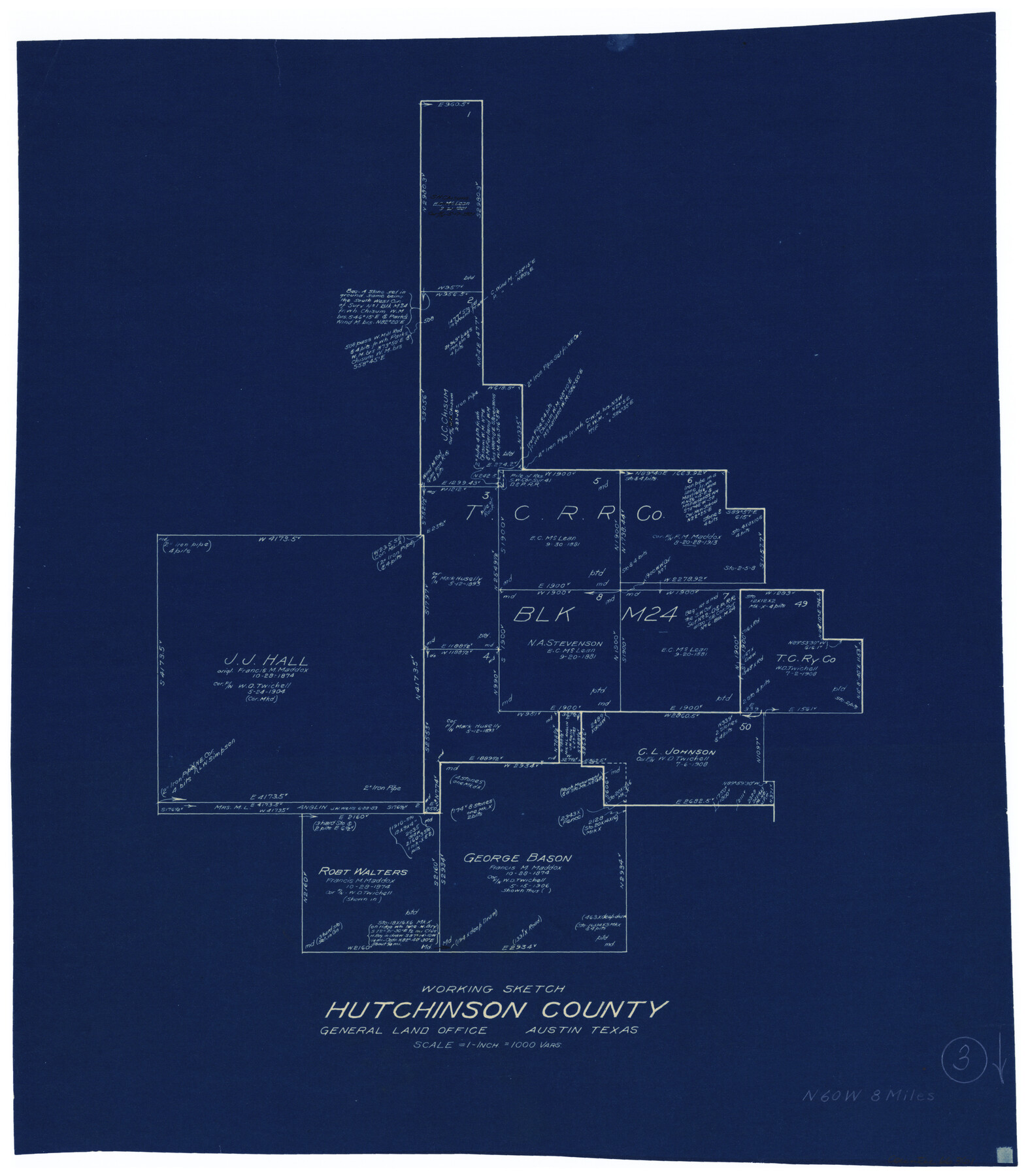
Hutchinson County Working Sketch 3
-
Map/Doc
66361
-
Collection
General Map Collection
-
Counties
Hutchinson
-
Subjects
Surveying Working Sketch
-
Height x Width
18.2 x 15.8 inches
46.2 x 40.1 cm
-
Scale
1" = 1000 varas
Part of: General Map Collection
Fisher County Sketch File 12

Print $22.00
- Digital $50.00
Fisher County Sketch File 12
1893
Size 9.0 x 7.0 inches
Map/Doc 22577
Flight Mission No. DIX-7P, Frame 20, Aransas County

Print $20.00
- Digital $50.00
Flight Mission No. DIX-7P, Frame 20, Aransas County
1956
Size 18.8 x 22.5 inches
Map/Doc 83872
Galveston County Sketch File 67

Print $4.00
- Digital $50.00
Galveston County Sketch File 67
1988
Size 11.3 x 8.7 inches
Map/Doc 23782
Gulf, Texas & Western Railway

Print $40.00
- Digital $50.00
Gulf, Texas & Western Railway
1913
Size 19.4 x 61.3 inches
Map/Doc 64440
Aransas County Rolled Sketch 15B

Print $20.00
- Digital $50.00
Aransas County Rolled Sketch 15B
Size 19.0 x 19.8 inches
Map/Doc 76066
[Surveys in the Travis District along the Colorado River]
![117, [Surveys in the Travis District along the Colorado River], General Map Collection](https://historictexasmaps.com/wmedia_w700/maps/117.tif.jpg)
Print $2.00
- Digital $50.00
[Surveys in the Travis District along the Colorado River]
1840
Size 8.9 x 6.3 inches
Map/Doc 117
Index Map No. 1 - Rio Bravo del Norte section of boundary between the United States & Mexico; agreed upon by the Joint Commission under the Treaty of Guadalupe Hidalgo

Print $20.00
- Digital $50.00
Index Map No. 1 - Rio Bravo del Norte section of boundary between the United States & Mexico; agreed upon by the Joint Commission under the Treaty of Guadalupe Hidalgo
1852
Size 18.5 x 27.4 inches
Map/Doc 72859
Duval County Working Sketch 17

Print $20.00
- Digital $50.00
Duval County Working Sketch 17
1939
Size 14.6 x 25.1 inches
Map/Doc 68730
Eastland County Rolled Sketch 18

Print $20.00
- Digital $50.00
Eastland County Rolled Sketch 18
Size 27.3 x 25.9 inches
Map/Doc 5776
Milam County Sketch File 1

Print $4.00
- Digital $50.00
Milam County Sketch File 1
1848
Size 10.7 x 7.8 inches
Map/Doc 31624
Flight Mission No. DAH-9M, Frame 86, Orange County

Print $20.00
- Digital $50.00
Flight Mission No. DAH-9M, Frame 86, Orange County
1953
Size 18.4 x 22.2 inches
Map/Doc 86850
Orange County Working Sketch 22

Print $20.00
- Digital $50.00
Orange County Working Sketch 22
1939
Size 35.8 x 35.5 inches
Map/Doc 71354
You may also like
Brazoria County NRC Article 33.136 Sketch 1

Print $20.00
- Digital $50.00
Brazoria County NRC Article 33.136 Sketch 1
2000
Size 24.7 x 35.9 inches
Map/Doc 61555
Part of the boundary between the United States and Texas: from Sabine River northward to the 36th mile mound (A.2)

Print $2.00
- Digital $50.00
Part of the boundary between the United States and Texas: from Sabine River northward to the 36th mile mound (A.2)
1842
Size 12.5 x 7.3 inches
Map/Doc 65387
Motley County Working Sketch 4

Print $20.00
- Digital $50.00
Motley County Working Sketch 4
1914
Size 19.9 x 10.2 inches
Map/Doc 71209
Harbor Pass and Bar at Brazos Santiago, Texas

Print $20.00
- Digital $50.00
Harbor Pass and Bar at Brazos Santiago, Texas
1871
Size 18.1 x 27.4 inches
Map/Doc 73038
Edwards County Sketch File 9

Print $20.00
- Digital $50.00
Edwards County Sketch File 9
Size 16.9 x 37.8 inches
Map/Doc 10443
Sherman County Boundary File 1

Print $20.00
- Digital $50.00
Sherman County Boundary File 1
Size 11.4 x 8.9 inches
Map/Doc 58751
Stonewall County Rolled Sketch 24A

Print $40.00
- Digital $50.00
Stonewall County Rolled Sketch 24A
1954
Size 55.0 x 47.1 inches
Map/Doc 9963
San Jacinto County Rolled Sketch 11

Print $20.00
- Digital $50.00
San Jacinto County Rolled Sketch 11
Size 22.7 x 33.6 inches
Map/Doc 7560
Brown County Sketch File 28

Print $4.00
- Digital $50.00
Brown County Sketch File 28
1875
Size 11.6 x 8.3 inches
Map/Doc 16626
El Paso County Working Sketch 19

Print $20.00
- Digital $50.00
El Paso County Working Sketch 19
1960
Size 20.8 x 20.8 inches
Map/Doc 69041
[Block 103 H. & G. N., Blocks 140 and 141]
![91676, [Block 103 H. & G. N., Blocks 140 and 141], Twichell Survey Records](https://historictexasmaps.com/wmedia_w700/maps/91676-1.tif.jpg)
Print $20.00
- Digital $50.00
[Block 103 H. & G. N., Blocks 140 and 141]
Size 16.3 x 16.0 inches
Map/Doc 91676
Runnels County Rolled Sketch 40

Print $20.00
- Digital $50.00
Runnels County Rolled Sketch 40
Size 32.3 x 38.9 inches
Map/Doc 7528