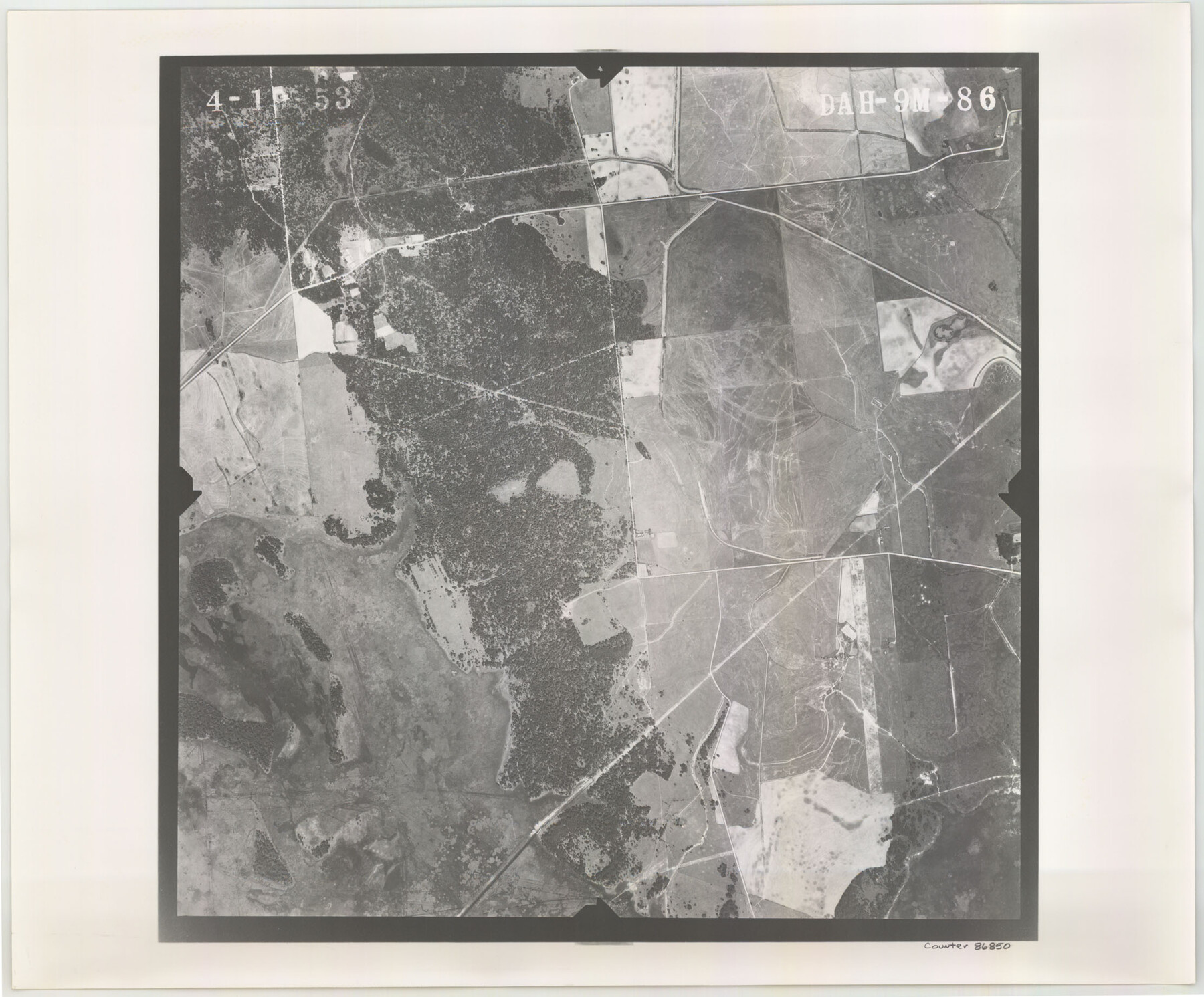
Flight Mission No. DAH-9M, Frame 86, Orange County
DAH-9M-86
- 
                          Map/Doc86850
- 
                            CollectionGeneral Map Collection
- 
                            Object Dates1953/4/19 (Creation Date)
- 
                            People and OrganizationsU. S. Department of Agriculture (Publisher)
- 
                            CountiesOrange
- 
                            SubjectsAerial Photograph
- 
                            Height x Width18.4 x 22.2 inches46.7 x 56.4 cm
- 
                            CommentsFlown by Jack Ammann Photogrammetric Engineers of San Antonio, Texas.
Part of: General Map Collection
            Copy of Surveyor's Field Book, Morris Browning - In Blocks 7, 5 & 4, I&GNRRCo., Hutchinson and Carson Counties, Texas


                                            Print $2.00                    
                                             -                         Digital $50.00                                    
                Copy of Surveyor's Field Book, Morris Browning - In Blocks 7, 5 & 4, I&GNRRCo., Hutchinson and Carson Counties, Texas
1888
Size 7.0 x 8.8 inches
                                Map/Doc 62284
            
            Real County Sketch File 18


                                            Print $28.00                    
                                             -                         Digital $50.00                                    
                Real County Sketch File 18
1964
Size 14.3 x 8.9 inches
                                Map/Doc 35076
            
            Pecos County Working Sketch 89.5


                                            Print $40.00                    
                                             -                         Digital $50.00                                    
                Pecos County Working Sketch 89.5
1965
Size 80.5 x 32.5 inches
                                Map/Doc 71561
            
            San Jacinto County Sketch File 9


                                            Print $4.00                    
                                    
                San Jacinto County Sketch File 9
1860
Size 8.7 x 11.7 inches
                                Map/Doc 35712
            
            Marion County Working Sketch 5


                                            Print $20.00                    
                                             -                         Digital $50.00                                    
                Marion County Working Sketch 5
1910
Size 24.5 x 15.2 inches
                                Map/Doc 70780
            
            Webb County Rolled Sketch 70


                                            Print $20.00                    
                                             -                         Digital $50.00                                    
                Webb County Rolled Sketch 70
Size 24.0 x 37.4 inches
                                Map/Doc 8217
            
            United States - Gulf Coast - Aransas Pass and Corpus Christi Bay with the coast to latitude 27° 12' Texas


                                            Print $20.00                    
                                             -                         Digital $50.00                                    
                United States - Gulf Coast - Aransas Pass and Corpus Christi Bay with the coast to latitude 27° 12' Texas
1913
Size 27.5 x 18.3 inches
                                Map/Doc 72794
            
            Taylor County Sketch File 2


                                            Print $20.00                    
                                             -                         Digital $50.00                                    
                Taylor County Sketch File 2
Size 13.8 x 18.4 inches
                                Map/Doc 12408
            
            Roberts County Sketch File 6


                                            Print $6.00                    
                                             -                         Digital $50.00                                    
                Roberts County Sketch File 6
1935
Size 10.8 x 14.5 inches
                                Map/Doc 35314
            
            Concho, San Saba & Llano Valley Railway, Sterling City Branch, Texas. Right of Way and Track Map


                                            Print $40.00                    
                                             -                         Digital $50.00                                    
                Concho, San Saba & Llano Valley Railway, Sterling City Branch, Texas. Right of Way and Track Map
1910
Size 17.7 x 57.8 inches
                                Map/Doc 64437
            
            Navarro County Sketch File 8


                                            Print $4.00                    
                                             -                         Digital $50.00                                    
                Navarro County Sketch File 8
1849
Size 13.2 x 8.5 inches
                                Map/Doc 32315
            You may also like
            Burleson County Working Sketch 13


                                            Print $40.00                    
                                             -                         Digital $50.00                                    
                Burleson County Working Sketch 13
1980
Size 49.2 x 34.6 inches
                                Map/Doc 67732
            
            Travis County Sketch File 19-28


                                            Print $12.00                    
                                             -                         Digital $50.00                                    
                Travis County Sketch File 19-28
1873
Size 8.6 x 7.7 inches
                                Map/Doc 38317
            
            Flight Mission No. DIX-6P, Frame 132, Aransas County


                                            Print $20.00                    
                                             -                         Digital $50.00                                    
                Flight Mission No. DIX-6P, Frame 132, Aransas County
1956
Size 19.3 x 23.2 inches
                                Map/Doc 83838
            
            [Galveston, Harrisburg & San Antonio Railroad from Cuero to Stockdale]
            
                                    ![64194, [Galveston, Harrisburg & San Antonio Railroad from Cuero to Stockdale], General Map Collection](https://historictexasmaps.com/wmedia_w700/maps/64194.tif.jpg) 


    ![64194, [Galveston, Harrisburg & San Antonio Railroad from Cuero to Stockdale], General Map Collection](https://historictexasmaps.com/wmedia_w700/maps/64194.tif.jpg) 
                                
            
                                            Print $20.00                    
                                             -                         Digital $50.00                                    
                [Galveston, Harrisburg & San Antonio Railroad from Cuero to Stockdale]
1907
Size 13.6 x 34.0 inches
                                Map/Doc 64194
            
            General Highway Map, Runnels County, Texas


                                            Print $20.00                    
                                    
                General Highway Map, Runnels County, Texas
1961
Size 24.6 x 18.2 inches
                                Map/Doc 79642
            
            Wilbarger Co.


                                            Print $20.00                    
                                             -                         Digital $50.00                                    
                Wilbarger Co.
1949
Size 47.8 x 38.8 inches
                                Map/Doc 73324
            
            Flight Mission No. DAG-18K, Frame 69, Matagorda County


                                            Print $20.00                    
                                             -                         Digital $50.00                                    
                Flight Mission No. DAG-18K, Frame 69, Matagorda County
1952
Size 16.3 x 16.2 inches
                                Map/Doc 86362
            
            Uvalde County


                                            Print $20.00                    
                                             -                         Digital $50.00                                    
                Uvalde County
1976
Size 42.7 x 46.4 inches
                                Map/Doc 73310
            
            Kerr County Working Sketch 35


                                            Print $6.00                    
                                             -                         Digital $50.00                                    
                Kerr County Working Sketch 35
1981
Size 35.2 x 15.5 inches
                                Map/Doc 70066


                                