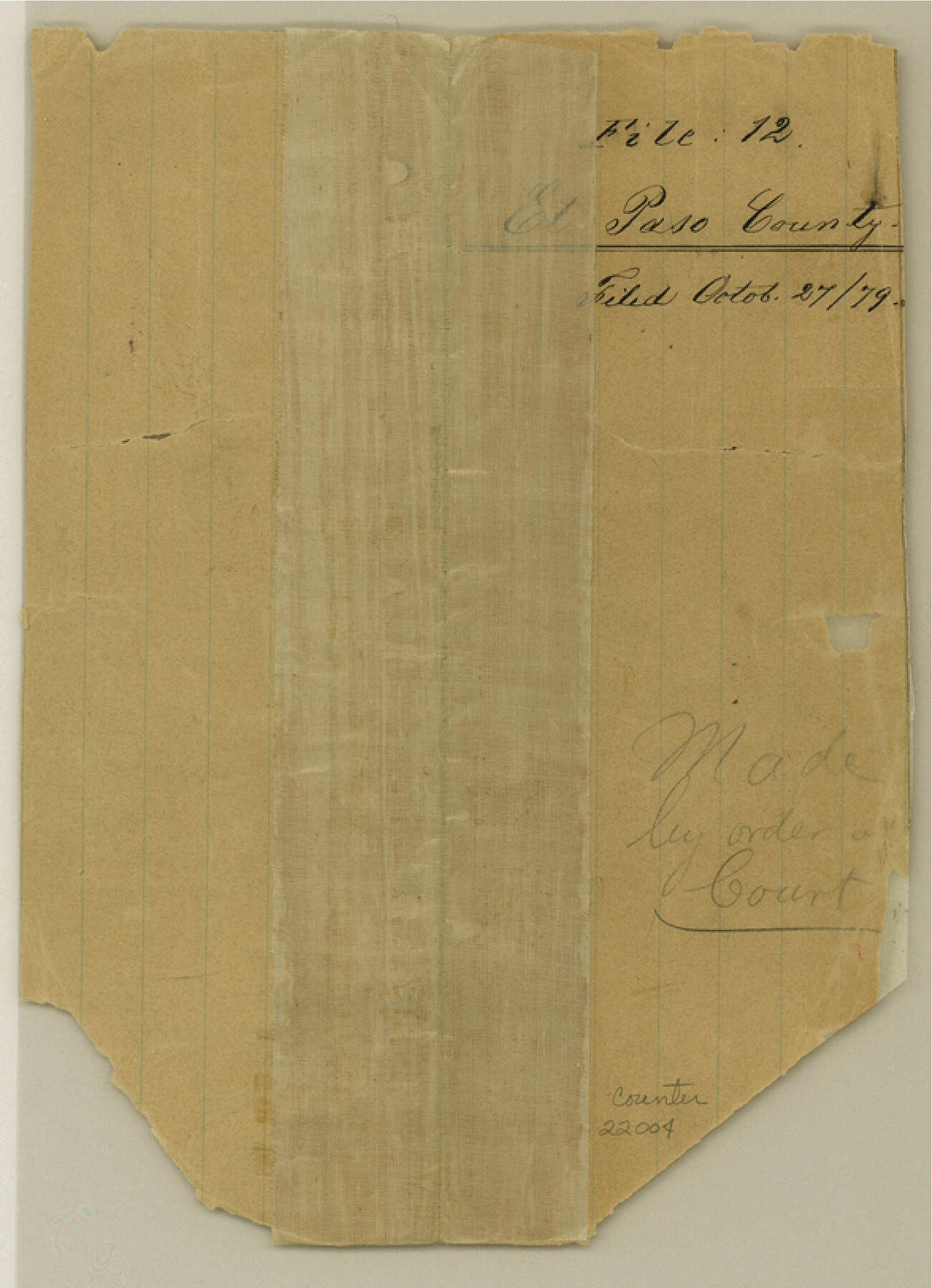
El Paso County Sketch File 12
[Sketch showing Geo. W. Huffman survey in relation to surrounding surveys, near El Paso]
-
Map/Doc
22004
-
Collection
General Map Collection
-
Object Dates
1887/6/17 (Creation Date)
1887/6/24 (File Date)
1887 (Survey Date)
-
People and Organizations
John W. Eubank (Surveyor/Engineer)
-
Counties
El Paso
-
Subjects
Surveying Sketch File
-
Height x Width
8.1 x 5.9 inches
20.6 x 15.0 cm
-
Medium
paper, manuscript
-
Features
Southern Pacific Railroad Company
AT&SF
Depot
Rio Grande
Part of: General Map Collection
Cherokee County Working Sketch 23
Print $20.00
- Digital $50.00
Cherokee County Working Sketch 23
1972
Size 44.4 x 46.9 inches
Map/Doc 67978

Kerr County Working Sketch 26

Print $20.00
- Digital $50.00
Kerr County Working Sketch 26
1969
Size 31.2 x 32.1 inches
Map/Doc 70057
Angelina County Sketch File 9

Print $23.00
- Digital $50.00
Angelina County Sketch File 9
1858
Size 12.3 x 15.8 inches
Map/Doc 10813
Polk County Sketch File 29

Print $4.00
- Digital $50.00
Polk County Sketch File 29
Size 8.8 x 12.6 inches
Map/Doc 34200
Refugio County Sketch File 8a

Print $2.00
- Digital $50.00
Refugio County Sketch File 8a
Size 8.1 x 10.2 inches
Map/Doc 35253
Val Verde County Working Sketch 117

Print $20.00
- Digital $50.00
Val Verde County Working Sketch 117
1993
Size 30.9 x 37.0 inches
Map/Doc 82844
Cottle County Rolled Sketch D

Print $20.00
- Digital $50.00
Cottle County Rolled Sketch D
1898
Size 29.0 x 20.4 inches
Map/Doc 5572
Plot of land tracts situated in Austin Co. west of Mill Creek opposite and above the fork of the same

Print $2.00
- Digital $50.00
Plot of land tracts situated in Austin Co. west of Mill Creek opposite and above the fork of the same
1845
Size 7.7 x 8.1 inches
Map/Doc 224
Culberson County Rolled Sketch 39

Print $20.00
- Digital $50.00
Culberson County Rolled Sketch 39
Size 20.5 x 28.7 inches
Map/Doc 78465
Burnet County Working Sketch 17

Print $20.00
- Digital $50.00
Burnet County Working Sketch 17
1979
Size 41.1 x 34.4 inches
Map/Doc 67860
Flight Mission No. DIX-8P, Frame 68, Aransas County

Print $20.00
- Digital $50.00
Flight Mission No. DIX-8P, Frame 68, Aransas County
1956
Size 18.7 x 22.5 inches
Map/Doc 83899
You may also like
Runnels County Rolled Sketch 29
Print $20.00
- Digital $50.00
Runnels County Rolled Sketch 29
1928
Size 37.3 x 19.9 inches
Map/Doc 7517
Flight Mission No. CGN-3P, Frame 22, San Patricio County

Print $20.00
- Digital $50.00
Flight Mission No. CGN-3P, Frame 22, San Patricio County
1956
Size 18.6 x 22.3 inches
Map/Doc 86980
Kendall County Boundary File 1

Print $6.00
- Digital $50.00
Kendall County Boundary File 1
Size 14.2 x 8.7 inches
Map/Doc 55743
Platte (sic) of the unorganized County School Lands in the District of Young

Print $20.00
- Digital $50.00
Platte (sic) of the unorganized County School Lands in the District of Young
Size 16.0 x 12.3 inches
Map/Doc 90453
Cooke County Sketch File 24

Print $6.00
- Digital $50.00
Cooke County Sketch File 24
1871
Size 10.3 x 8.3 inches
Map/Doc 19272
Intracoastal Waterway - Gibbstown to Port Arthur

Print $20.00
- Digital $50.00
Intracoastal Waterway - Gibbstown to Port Arthur
1960
Size 26.9 x 38.9 inches
Map/Doc 69831
Map of Comanche County

Print $20.00
- Digital $50.00
Map of Comanche County
1884
Size 20.9 x 26.5 inches
Map/Doc 3434
Polk County Sketch File 24

Print $20.00
- Digital $50.00
Polk County Sketch File 24
Size 14.3 x 30.8 inches
Map/Doc 12193
Controlled Mosaic by Jack Amman Photogrammetric Engineers, Inc - Sheet 36

Print $20.00
- Digital $50.00
Controlled Mosaic by Jack Amman Photogrammetric Engineers, Inc - Sheet 36
1954
Size 20.0 x 24.0 inches
Map/Doc 83489
Rusk County Working Sketch 33

Print $20.00
- Digital $50.00
Rusk County Working Sketch 33
1919
Size 20.1 x 16.6 inches
Map/Doc 63670
Crockett County Working Sketch 55

Print $40.00
- Digital $50.00
Crockett County Working Sketch 55
1951
Size 51.0 x 37.5 inches
Map/Doc 68388
Robertson County Sketch File 7

Print $20.00
Robertson County Sketch File 7
1873
Size 16.3 x 24.0 inches
Map/Doc 12250