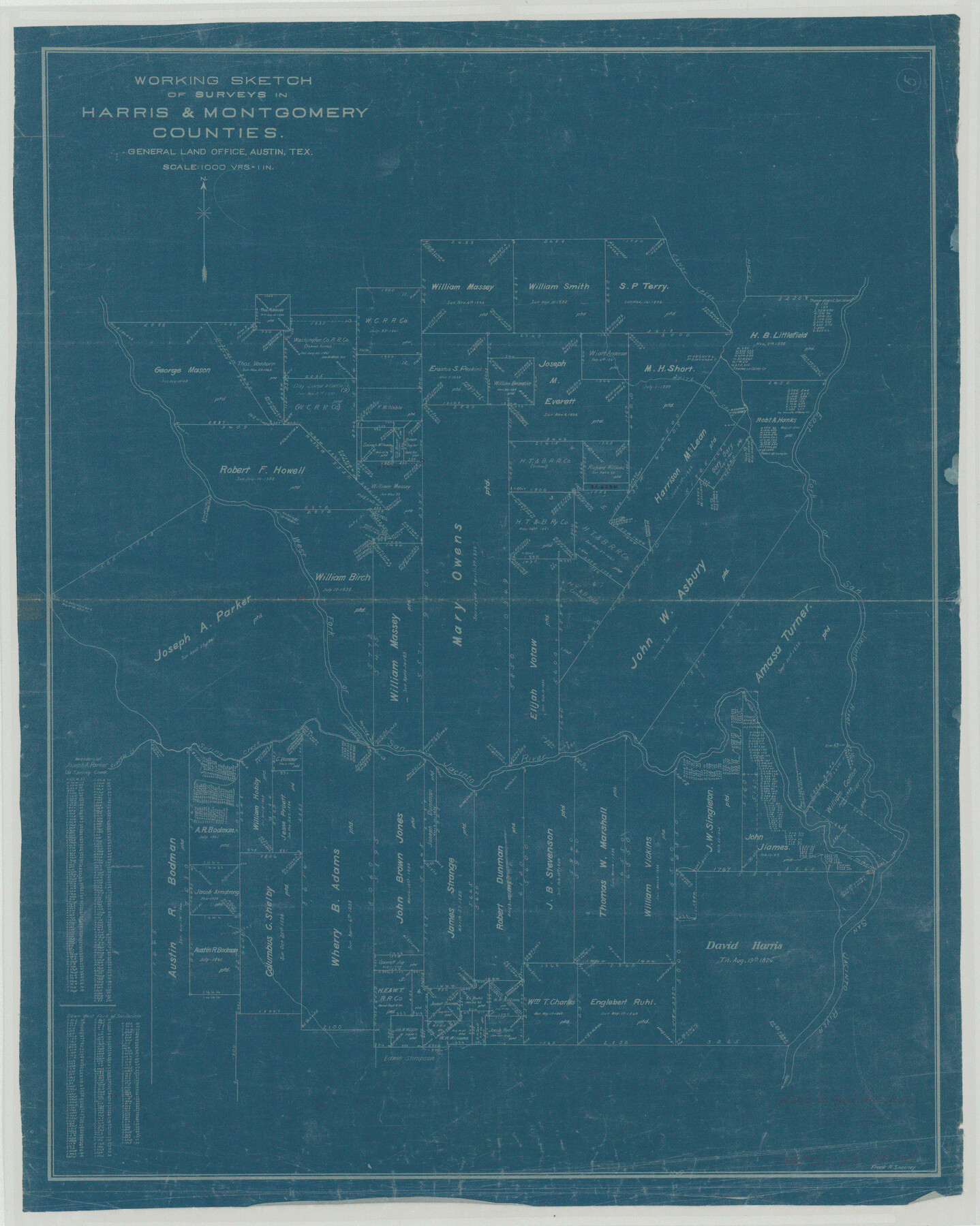
Harris County Working Sketch 5
-
Map/Doc
65897
-
Collection
General Map Collection
-
People and Organizations
Frank R. Sweeney (Draftsman)
-
Counties
Harris Montgomery
-
Subjects
Surveying Working Sketch
-
Height x Width
35.1 x 28.0 inches
89.2 x 71.1 cm
-
Scale
1" = 1000 varas
Part of: General Map Collection
Pecos County Sketch File 27B

Print $20.00
- Digital $50.00
Pecos County Sketch File 27B
1908
Size 25.7 x 20.8 inches
Map/Doc 12167
Sketch F Showing the Progress of the Survey in Section VI With a General Reconnoissance of the Western Coast of Florida

Print $20.00
- Digital $50.00
Sketch F Showing the Progress of the Survey in Section VI With a General Reconnoissance of the Western Coast of Florida
1848
Size 25.5 x 19.2 inches
Map/Doc 97216
Jeff Davis County Working Sketch 4

Print $20.00
- Digital $50.00
Jeff Davis County Working Sketch 4
1916
Size 14.3 x 15.2 inches
Map/Doc 66499

Jeff Davis County Working Sketch 16

Print $20.00
- Digital $50.00
Jeff Davis County Working Sketch 16
1954
Size 19.4 x 17.3 inches
Map/Doc 66511
Hood County Sketch File 17

Print $4.00
- Digital $50.00
Hood County Sketch File 17
1860
Size 8.2 x 9.4 inches
Map/Doc 26599
Dimmit County Rolled Sketch 22

Print $20.00
- Digital $50.00
Dimmit County Rolled Sketch 22
2012
Size 31.5 x 24.0 inches
Map/Doc 93629
Anderson County Working Sketch 31

Print $20.00
- Digital $50.00
Anderson County Working Sketch 31
1966
Size 18.3 x 23.2 inches
Map/Doc 67031
Stephens County Sketch File 15

Print $4.00
- Digital $50.00
Stephens County Sketch File 15
1890
Size 9.1 x 6.7 inches
Map/Doc 37068
Flight Mission No. BRA-8M, Frame 85, Jefferson County

Print $20.00
- Digital $50.00
Flight Mission No. BRA-8M, Frame 85, Jefferson County
1953
Size 18.7 x 22.3 inches
Map/Doc 85605
Duval County Working Sketch 26

Print $20.00
- Digital $50.00
Duval County Working Sketch 26
1947
Size 34.8 x 36.9 inches
Map/Doc 68750
Midland County

Print $20.00
- Digital $50.00
Midland County
1896
Size 23.0 x 21.1 inches
Map/Doc 3878
You may also like

A true copy of Peck's field book No. 7 pages 50 to 55, except classfication of lands

Print $40.00
- Digital $50.00
A true copy of Peck's field book No. 7 pages 50 to 55, except classfication of lands
Size 6.1 x 54.3 inches
Map/Doc 89666
Freestone County Sketch File 22

Print $40.00
- Digital $50.00
Freestone County Sketch File 22
1886
Size 14.4 x 17.3 inches
Map/Doc 23082
Bell County Working Sketch 8

Print $20.00
- Digital $50.00
Bell County Working Sketch 8
1954
Size 44.2 x 37.3 inches
Map/Doc 67348
Nacogdoches County Working Sketch 11

Print $20.00
- Digital $50.00
Nacogdoches County Working Sketch 11
1985
Size 41.1 x 28.0 inches
Map/Doc 71227
Topographisch-geognostische Karte von Texas mit Zugrundelegung der geographischen Karte v. Wilson nach eigenen Beobachtungen bearbeitet von Dr. Ferd. Roemer

Print $20.00
- Digital $50.00
Topographisch-geognostische Karte von Texas mit Zugrundelegung der geographischen Karte v. Wilson nach eigenen Beobachtungen bearbeitet von Dr. Ferd. Roemer
1849
Size 23.5 x 21.0 inches
Map/Doc 96523
Old Miscellaneous File 10

Print $4.00
- Digital $50.00
Old Miscellaneous File 10
Size 9.6 x 8.2 inches
Map/Doc 75435
[Northeast 1/4 County]
![90876, [Northeast 1/4 County], Twichell Survey Records](https://historictexasmaps.com/wmedia_w700/maps/90876-2.tif.jpg)
Print $20.00
- Digital $50.00
[Northeast 1/4 County]
Size 11.9 x 20.3 inches
Map/Doc 90876
Hardin County Working Sketch 34

Print $20.00
- Digital $50.00
Hardin County Working Sketch 34
1980
Size 15.7 x 12.1 inches
Map/Doc 63432
Walker County Miscellaneous Sketch 1

Print $20.00
- Digital $50.00
Walker County Miscellaneous Sketch 1
2003
Size 36.0 x 31.3 inches
Map/Doc 88868
United States - Gulf Coast - From Latitude 26° 33' to the Rio Grande Texas

Print $20.00
- Digital $50.00
United States - Gulf Coast - From Latitude 26° 33' to the Rio Grande Texas
1919
Size 27.5 x 18.2 inches
Map/Doc 72853
Laguna Madre, T-9211

Print $20.00
- Digital $50.00
Laguna Madre, T-9211
Size 33.0 x 31.1 inches
Map/Doc 73602