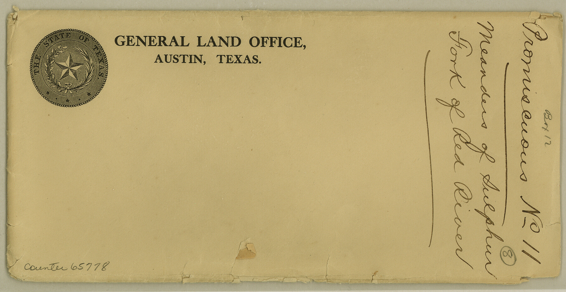
Meanders of Sulphur Fork of Red River, Red River County, Texas
K-3-7
-
Map/Doc
65778
-
Collection
General Map Collection
-
Object Dates
1841 (Creation Date)
-
Counties
Red River
-
Subjects
River Surveys
-
Height x Width
4.4 x 8.6 inches
11.2 x 21.8 cm
Part of: General Map Collection
Flight Mission No. CRC-3R, Frame 40, Chambers County

Print $20.00
- Digital $50.00
Flight Mission No. CRC-3R, Frame 40, Chambers County
1956
Size 18.6 x 22.3 inches
Map/Doc 84813
Marion County Rolled Sketch 1

Print $20.00
- Digital $50.00
Marion County Rolled Sketch 1
1954
Size 21.5 x 23.5 inches
Map/Doc 6657
Flight Mission No. CRC-3R, Frame 35, Chambers County

Print $20.00
- Digital $50.00
Flight Mission No. CRC-3R, Frame 35, Chambers County
1956
Size 18.5 x 22.2 inches
Map/Doc 84808
Armstrong County Sketch File 4a

Print $4.00
- Digital $50.00
Armstrong County Sketch File 4a
1883
Size 14.3 x 8.9 inches
Map/Doc 13687
Cass County Sketch File 21

Print $6.00
- Digital $50.00
Cass County Sketch File 21
1936
Size 14.1 x 8.7 inches
Map/Doc 17424
La Salle County Working Sketch 4

Print $20.00
- Digital $50.00
La Salle County Working Sketch 4
1915
Size 31.6 x 36.6 inches
Map/Doc 70305
Van Zandt County Sketch File 40

Print $4.00
- Digital $50.00
Van Zandt County Sketch File 40
Size 8.6 x 9.4 inches
Map/Doc 39486
Stonewall County Rolled Sketch 25

Print $20.00
- Digital $50.00
Stonewall County Rolled Sketch 25
1952
Size 27.8 x 22.1 inches
Map/Doc 7873
Right of Way and Track Map, International & Gt. Northern Ry. Operated by the International & Gt. Northern Ry. Co., Gulf Division

Print $40.00
- Digital $50.00
Right of Way and Track Map, International & Gt. Northern Ry. Operated by the International & Gt. Northern Ry. Co., Gulf Division
1917
Size 25.1 x 56.6 inches
Map/Doc 64252
Trinity County Sketch File 20

Print $20.00
- Digital $50.00
Trinity County Sketch File 20
Size 21.3 x 27.9 inches
Map/Doc 12485
Flight Mission No. DQO-8K, Frame 15, Galveston County

Print $20.00
- Digital $50.00
Flight Mission No. DQO-8K, Frame 15, Galveston County
1952
Size 18.7 x 22.4 inches
Map/Doc 85138

You may also like
Kleberg County Aerial Photograph Index Sheet 4

Print $20.00
- Digital $50.00
Kleberg County Aerial Photograph Index Sheet 4
1956
Size 19.3 x 23.3 inches
Map/Doc 83721
Duval County Sketch File 32a

Print $20.00
- Digital $50.00
Duval County Sketch File 32a
1932
Size 16.2 x 14.2 inches
Map/Doc 11390
Index Map No. 1 - Rio Bravo del Norte section of boundary between the United States & Mexico; agreed upon by the Joint Commission under the Treaty of Guadalupe Hidalgo

Print $20.00
- Digital $50.00
Index Map No. 1 - Rio Bravo del Norte section of boundary between the United States & Mexico; agreed upon by the Joint Commission under the Treaty of Guadalupe Hidalgo
1852
Size 18.3 x 27.5 inches
Map/Doc 72860
Randall County Rolled Sketch 10

Print $20.00
- Digital $50.00
Randall County Rolled Sketch 10
Size 26.9 x 22.6 inches
Map/Doc 7431
Trinity County Sketch File 20
Print $20.00
- Digital $50.00
Trinity County Sketch File 20
Size 21.3 x 27.9 inches
Map/Doc 12485
Denton County Working Sketch 7

Print $4.00
- Digital $50.00
Denton County Working Sketch 7
1958
Size 26.0 x 28.8 inches
Map/Doc 68612
Johnson County Working Sketch 11

Print $20.00
- Digital $50.00
Johnson County Working Sketch 11
1953
Size 28.7 x 22.4 inches
Map/Doc 66624
[Pencil sketch around the Fred Mohler survey 19]
![92994, [Pencil sketch around the Fred Mohler survey 19], Twichell Survey Records](https://historictexasmaps.com/wmedia_w700/maps/92994-1.tif.jpg)
Print $3.00
- Digital $50.00
[Pencil sketch around the Fred Mohler survey 19]
Size 14.1 x 10.4 inches
Map/Doc 92994
[Gulf, Colorado & Santa Fe Railway line through Fort Bend Co.]
![64212, [Gulf, Colorado & Santa Fe Railway line through Fort Bend Co.], General Map Collection](https://historictexasmaps.com/wmedia_w700/maps/64212.tif.jpg)
Print $20.00
- Digital $50.00
[Gulf, Colorado & Santa Fe Railway line through Fort Bend Co.]
1898
Size 14.2 x 33.5 inches
Map/Doc 64212
Bosque County, Texas

Print $20.00
- Digital $50.00
Bosque County, Texas
1879
Size 25.1 x 29.9 inches
Map/Doc 420
United States - Gulf Coast - Padre I. and Laguna Madre Lat. 27° 12' to Lat. 26° 33' Texas

Print $20.00
- Digital $50.00
United States - Gulf Coast - Padre I. and Laguna Madre Lat. 27° 12' to Lat. 26° 33' Texas
1913
Size 27.0 x 18.2 inches
Map/Doc 72814
Kendall County Working Sketch 26

Print $20.00
- Digital $50.00
Kendall County Working Sketch 26
1985
Size 42.5 x 36.0 inches
Map/Doc 66698