[Sketch for Mineral Application 1112 - Colorado River, H. E. Chambers]
K-1-24
-
Map/Doc
65637
-
Collection
General Map Collection
-
Object Dates
1918 (Creation Date)
-
People and Organizations
F.M. Long (Surveyor/Engineer)
-
Counties
Mills San Saba
-
Subjects
Energy Offshore Submerged Area
-
Height x Width
5.5 x 8.5 inches
14.0 x 21.6 cm
Part of: General Map Collection
Crosby County Sketch File 2

Print $22.00
- Digital $50.00
Crosby County Sketch File 2
Size 8.5 x 9.9 inches
Map/Doc 19991
Glasscock County Working Sketch 15
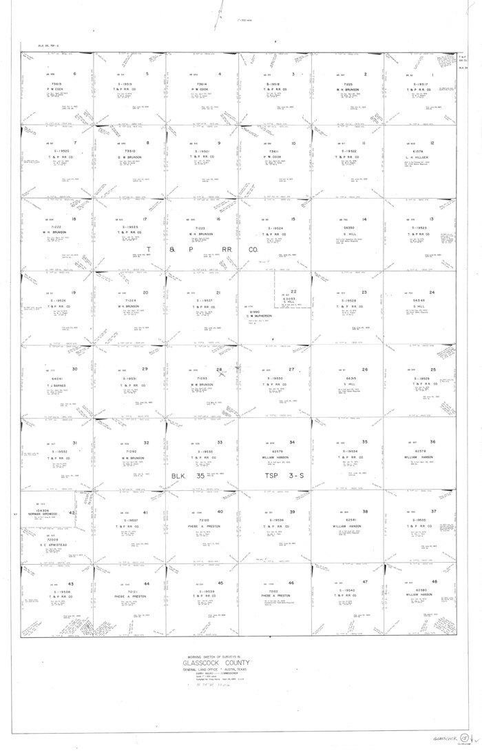

Print $40.00
- Digital $50.00
Glasscock County Working Sketch 15
1984
Size 65.6 x 42.1 inches
Map/Doc 63188
Map of Hidalgo County


Print $20.00
- Digital $50.00
Map of Hidalgo County
1896
Size 44.7 x 26.7 inches
Map/Doc 4978
Wharton County Sketch File 21


Print $40.00
- Digital $50.00
Wharton County Sketch File 21
1911
Size 14.8 x 13.0 inches
Map/Doc 39986
Northern Part of Laguna Madre


Print $20.00
- Digital $50.00
Northern Part of Laguna Madre
1959
Size 44.5 x 35.1 inches
Map/Doc 73525
Andrews County Boundary File 2b


Print $217.00
- Digital $50.00
Andrews County Boundary File 2b
Size 9.6 x 56.0 inches
Map/Doc 49698
Hardeman County Boundary File 3
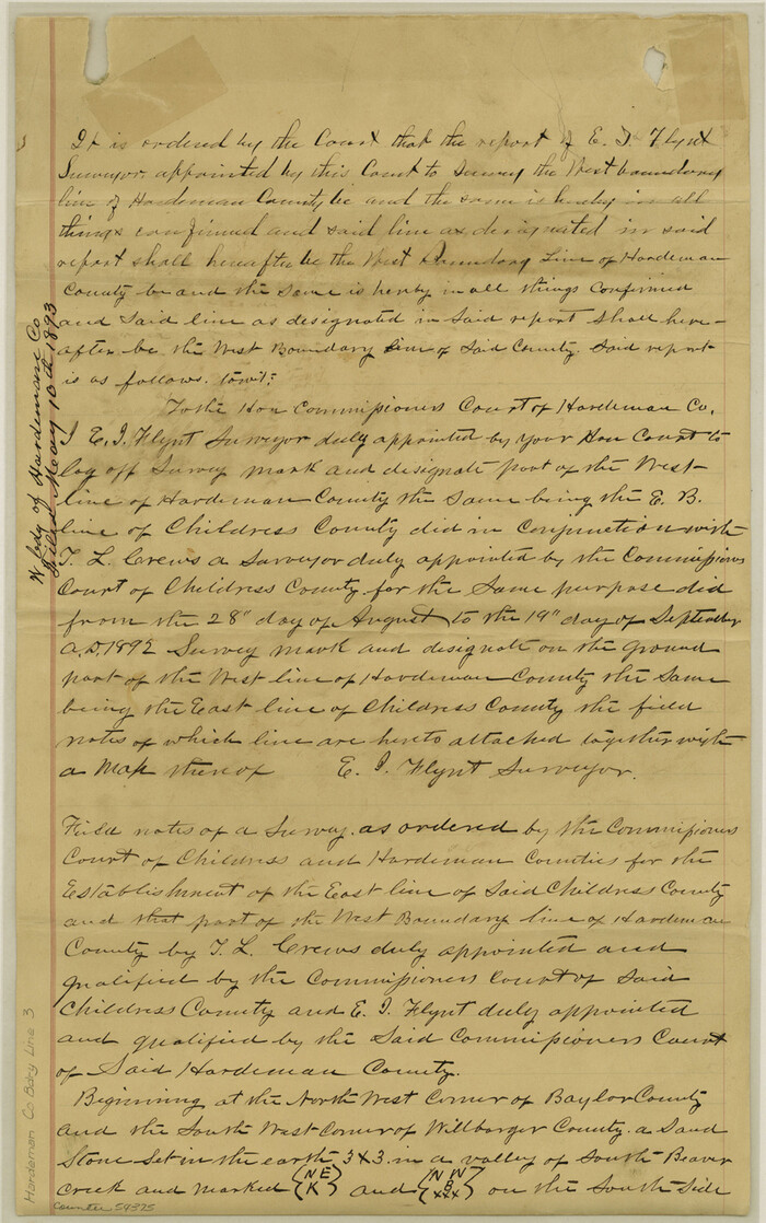

Print $18.00
- Digital $50.00
Hardeman County Boundary File 3
Size 14.1 x 8.8 inches
Map/Doc 54375
Potter County Working Sketch 5


Print $20.00
- Digital $50.00
Potter County Working Sketch 5
1920
Size 41.3 x 37.1 inches
Map/Doc 71665
Foard County Sketch File 35


Print $20.00
- Digital $50.00
Foard County Sketch File 35
Size 26.4 x 25.7 inches
Map/Doc 11496
Upton County Sketch File 16
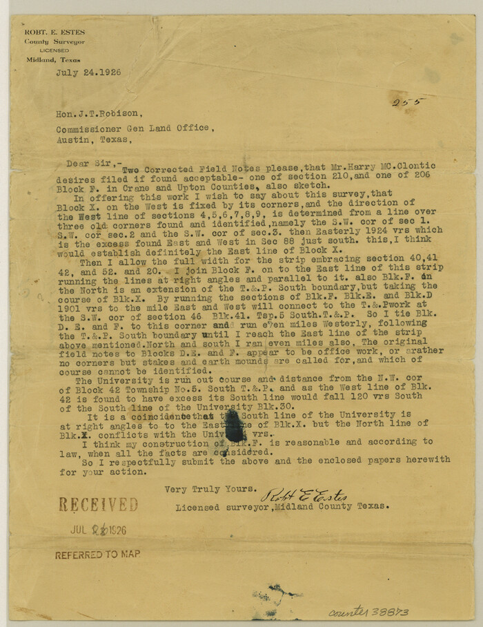

Print $4.00
- Digital $50.00
Upton County Sketch File 16
1926
Size 11.4 x 8.8 inches
Map/Doc 38873
Tom Green County Sketch File 60

Print $20.00
- Digital $50.00
Tom Green County Sketch File 60
1888
Size 28.4 x 25.9 inches
Map/Doc 12444
[Surveys in Austin's Colony near La Bahia Road]
![200, [Surveys in Austin's Colony near La Bahia Road], General Map Collection](https://historictexasmaps.com/wmedia_w700/maps/200.tif.jpg)
![200, [Surveys in Austin's Colony near La Bahia Road], General Map Collection](https://historictexasmaps.com/wmedia_w700/maps/200.tif.jpg)
Print $20.00
- Digital $50.00
[Surveys in Austin's Colony near La Bahia Road]
1821
Size 10.4 x 20.2 inches
Map/Doc 200
You may also like
Edwards County Working Sketch 67

Print $20.00
- Digital $50.00
Edwards County Working Sketch 67
1957
Size 38.3 x 44.2 inches
Map/Doc 68943
Montgomery County Working Sketch 32

Print $20.00
- Digital $50.00
Montgomery County Working Sketch 32
1950
Size 32.8 x 32.8 inches
Map/Doc 71139
El Paso County Rolled Sketch 52

Print $20.00
- Digital $50.00
El Paso County Rolled Sketch 52
1930
Size 18.5 x 24.4 inches
Map/Doc 5837
Flight Mission No. BRA-16M, Frame 164, Jefferson County
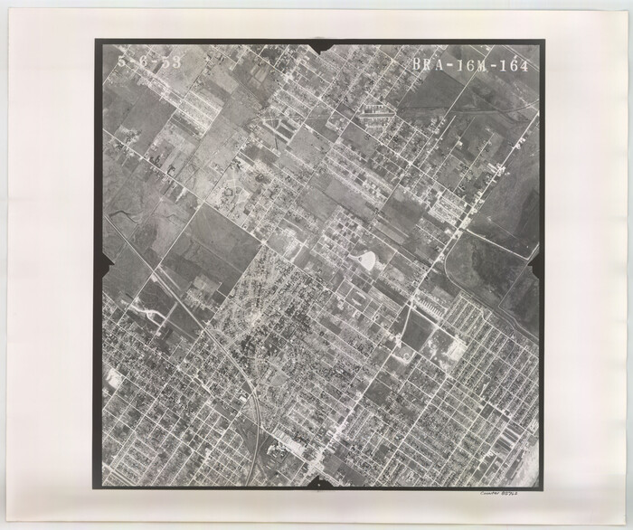

Print $20.00
- Digital $50.00
Flight Mission No. BRA-16M, Frame 164, Jefferson County
1953
Size 18.7 x 22.3 inches
Map/Doc 85762
Map of Eastland County, the portion on the waters of Colorado River, Travis - the balance, Milam Land District


Print $20.00
- Digital $50.00
Map of Eastland County, the portion on the waters of Colorado River, Travis - the balance, Milam Land District
1860
Size 23.8 x 21.5 inches
Map/Doc 3501
Harris County NRC Article 33.136 Sketch 16
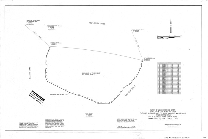

Print $20.00
- Digital $50.00
Harris County NRC Article 33.136 Sketch 16
2006
Size 24.0 x 36.0 inches
Map/Doc 94823
Right of Way and Track Map of The Missouri, Kansas & Texas Railway of Texas


Print $40.00
- Digital $50.00
Right of Way and Track Map of The Missouri, Kansas & Texas Railway of Texas
1918
Size 25.2 x 51.6 inches
Map/Doc 64530
Cooke County Sketch File 31

Print $22.00
- Digital $50.00
Cooke County Sketch File 31
1873
Size 8.0 x 12.9 inches
Map/Doc 19293
Flight Mission No. CZW-3R, Frame 82


Print $20.00
- Digital $50.00
Flight Mission No. CZW-3R, Frame 82
1956
Size 18.6 x 22.3 inches
Map/Doc 85240
Nueces County Sketch File 82
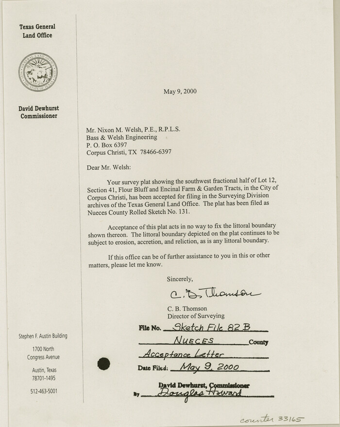

Print $4.00
- Digital $50.00
Nueces County Sketch File 82
2000
Size 11.0 x 8.8 inches
Map/Doc 33165
Ride the Texas Mountain Trail [Verso]
![94165, Ride the Texas Mountain Trail [Verso], General Map Collection](https://historictexasmaps.com/wmedia_w700/maps/94165.tif.jpg)
![94165, Ride the Texas Mountain Trail [Verso], General Map Collection](https://historictexasmaps.com/wmedia_w700/maps/94165.tif.jpg)
Ride the Texas Mountain Trail [Verso]
1968
Size 18.3 x 24.4 inches
Map/Doc 94165
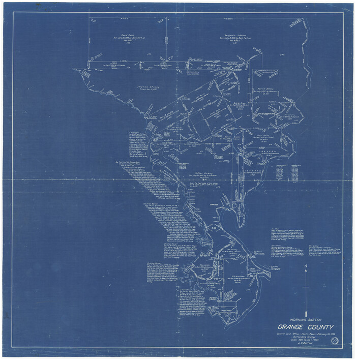
Orange County Working Sketch 22

Print $20.00
- Digital $50.00
Orange County Working Sketch 22
1939
Size 35.8 x 35.5 inches
Map/Doc 71354
![65637, [Sketch for Mineral Application 1112 - Colorado River, H. E. Chambers], General Map Collection](https://historictexasmaps.com/wmedia_w1800h1800/maps/65637.tif.jpg)