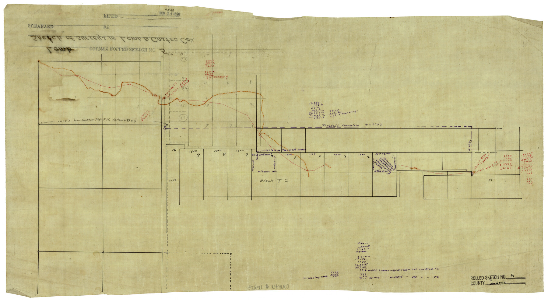
Lamb County Rolled Sketch 5
[Sketch of surveys along Lamb-Castro County line]
- 
                          Map/Doc
6563
 - 
                            Collection
General Map Collection
 - 
                            Counties
Lamb Castro
 - 
                            Subjects
Surveying Rolled Sketch
 - 
                            Height x Width
11.8 x 21.5 inches
30.0 x 54.6 cm
 - 
                            Medium
linen, manuscript
 
Part of: General Map Collection
            Nueva Hispania Tabula Nova


                                            Print $20.00                    
                                             -                         Digital $50.00                                    
                Nueva Hispania Tabula Nova
1561
Size 9.4 x 12.3 inches
                                Map/Doc 93796
            
            Henderson County Working Sketch 9


                                            Print $20.00                    
                                             -                         Digital $50.00                                    
                Henderson County Working Sketch 9
1921
Size 30.9 x 16.7 inches
                                Map/Doc 66142
            
            Montgomery County Sketch File 25


                                            Print $4.00                    
                                             -                         Digital $50.00                                    
                Montgomery County Sketch File 25
1839
Size 13.8 x 8.2 inches
                                Map/Doc 31869
            
            Carte d'une partie de l'Asie, depuis la Mer Méditerranée jusqu'au Golfe de Cambaye dans la Mer de l'Inde


                                            Print $20.00                    
                                             -                         Digital $50.00                                    
                Carte d'une partie de l'Asie, depuis la Mer Méditerranée jusqu'au Golfe de Cambaye dans la Mer de l'Inde
1782
Size 12.9 x 18.0 inches
                                Map/Doc 97120
            
            Texas Panhandle East Boundary Line


                                            Print $40.00                    
                                             -                         Digital $50.00                                    
                Texas Panhandle East Boundary Line
1898
Size 9.2 x 64.9 inches
                                Map/Doc 1716
            
            Index for Texas Railroad ROW & track maps available on microfilm at THD & Archives and Records


                                            Print $2.00                    
                                             -                         Digital $50.00                                    
                Index for Texas Railroad ROW & track maps available on microfilm at THD & Archives and Records
1977
Size 11.2 x 8.8 inches
                                Map/Doc 60758
            
            Karnes County Sketch File 2


                                            Print $6.00                    
                                             -                         Digital $50.00                                    
                Karnes County Sketch File 2
1851
Size 12.5 x 8.1 inches
                                Map/Doc 28547
            
            Stonewall County Sketch File 17


                                            Print $6.00                    
                                             -                         Digital $50.00                                    
                Stonewall County Sketch File 17
1902
Size 16.5 x 10.6 inches
                                Map/Doc 37274
            
            Map of Brazos County, Texas


                                            Print $40.00                    
                                             -                         Digital $50.00                                    
                Map of Brazos County, Texas
1926
Size 89.6 x 55.1 inches
                                Map/Doc 93648
            
            Archer County Working Sketch 2


                                            Print $20.00                    
                                             -                         Digital $50.00                                    
                Archer County Working Sketch 2
1907
Size 19.6 x 18.6 inches
                                Map/Doc 67142
            
            Cameron County Aerial Photograph Index Sheet 6


                                            Print $20.00                    
                                             -                         Digital $50.00                                    
                Cameron County Aerial Photograph Index Sheet 6
1940
Size 20.3 x 24.3 inches
                                Map/Doc 83682
            
            Texas City Channel, Texas, Channel and Turning Basin Dredging - Sheet 4


                                            Print $20.00                    
                                             -                         Digital $50.00                                    
                Texas City Channel, Texas, Channel and Turning Basin Dredging - Sheet 4
1958
Size 28.5 x 40.9 inches
                                Map/Doc 61834
            You may also like
            [H. & T. C. Blocks 47 1/2 and 48, Capitol Lands]


                                            Print $20.00                    
                                             -                         Digital $50.00                                    
                [H. & T. C. Blocks 47 1/2 and 48, Capitol Lands]
Size 19.9 x 24.8 inches
                                Map/Doc 90639
            
            Wilbarger County Working Sketch 11


                                            Print $40.00                    
                                             -                         Digital $50.00                                    
                Wilbarger County Working Sketch 11
1952
Size 27.7 x 51.7 inches
                                Map/Doc 72549
            
            Trinity County Working Sketch 17


                                            Print $20.00                    
                                             -                         Digital $50.00                                    
                Trinity County Working Sketch 17
1978
Size 24.0 x 26.6 inches
                                Map/Doc 69466
            
            Runnels County Rolled Sketch 53


                                            Print $20.00                    
                                             -                         Digital $50.00                                    
                Runnels County Rolled Sketch 53
Size 33.1 x 31.1 inches
                                Map/Doc 7538
            
            Harris County Rolled Sketch 70


                                            Print $20.00                    
                                             -                         Digital $50.00                                    
                Harris County Rolled Sketch 70
1942
Size 29.6 x 36.2 inches
                                Map/Doc 6110
            
            Cameron County Rolled Sketch 7A


                                            Print $20.00                    
                                             -                         Digital $50.00                                    
                Cameron County Rolled Sketch 7A
1926
Size 30.2 x 34.0 inches
                                Map/Doc 5384
            
            [Sketch of Survey 152, Block 9]


                                            Print $2.00                    
                                             -                         Digital $50.00                                    
                [Sketch of Survey 152, Block 9]
Size 5.1 x 6.3 inches
                                Map/Doc 93095
            
            Flight Mission No. BRE-1P, Frame 153, Nueces County


                                            Print $20.00                    
                                             -                         Digital $50.00                                    
                Flight Mission No. BRE-1P, Frame 153, Nueces County
1956
Size 18.5 x 22.5 inches
                                Map/Doc 86714
            
            Sutton County Working Sketch 7


                                            Print $20.00                    
                                             -                         Digital $50.00                                    
                Sutton County Working Sketch 7
1972
Size 44.4 x 37.5 inches
                                Map/Doc 62350
            
            Madison County Working Sketch 8


                                            Print $4.00                    
                                             -                         Digital $50.00                                    
                Madison County Working Sketch 8
1982
Size 22.4 x 28.8 inches
                                Map/Doc 70770
            
            Angelina County Sketch File 3


                                            Print $8.00                    
                                             -                         Digital $50.00                                    
                Angelina County Sketch File 3
Size 7.7 x 7.6 inches
                                Map/Doc 12922
            
            Controlled Mosaic by Jack Amman Photogrammetric Engineers, Inc - Sheet 42


                                            Print $20.00                    
                                             -                         Digital $50.00                                    
                Controlled Mosaic by Jack Amman Photogrammetric Engineers, Inc - Sheet 42
1954
Size 20.0 x 24.0 inches
                                Map/Doc 83500