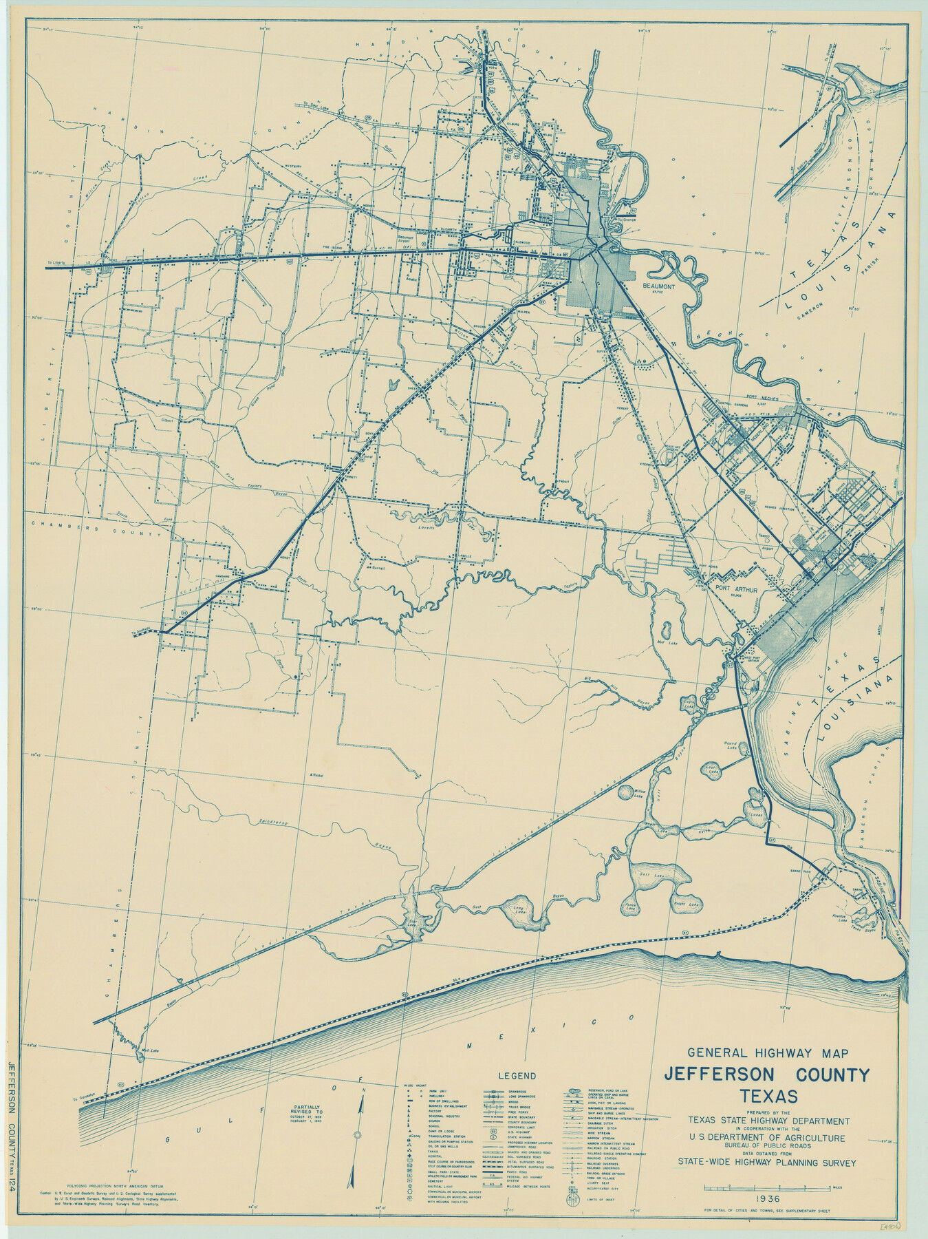
General Highway Map, Jefferson County, Texas
-
Map/Doc
79144
-
Collection
Texas State Library and Archives
-
Object Dates
1940 (Creation Date)
-
People and Organizations
Texas State Highway Department (Publisher)
-
Counties
Jefferson
-
Subjects
County
-
Height x Width
24.8 x 18.6 inches
63.0 x 47.2 cm
-
Comments
Prints available courtesy of the Texas State Library and Archives.
More info can be found here: TSLAC Map 04906
Part of: Texas State Library and Archives
General Highway Map, Winkler County, Texas

Print $20.00
General Highway Map, Winkler County, Texas
1961
Size 18.2 x 24.8 inches
Map/Doc 79716
General Highway Map. Detail of Cities and Towns in Kinney County, Uvalde County [Uvalde and vicinity, Sabinal, and Brackettville and vicinity]
![79163, General Highway Map. Detail of Cities and Towns in Kinney County, Uvalde County [Uvalde and vicinity, Sabinal, and
Brackettville and vicinity], Texas State Library and Archives](https://historictexasmaps.com/wmedia_w700/maps/79163.tif.jpg)
Print $20.00
General Highway Map. Detail of Cities and Towns in Kinney County, Uvalde County [Uvalde and vicinity, Sabinal, and Brackettville and vicinity]
1940
Size 18.5 x 24.7 inches
Map/Doc 79163
Mexico and Internal Provinces

Print $20.00
Mexico and Internal Provinces
1829
Size 12.9 x 14.5 inches
Map/Doc 79733
General Highway Map, Robertson County, Texas

Print $20.00
General Highway Map, Robertson County, Texas
1940
Size 18.3 x 24.8 inches
Map/Doc 79230
Rand McNally Standard Map of Texas (reverse)

Print $20.00
Rand McNally Standard Map of Texas (reverse)
1923
Size 39.8 x 27.2 inches
Map/Doc 76229
General Highway Map, Brooks County, Texas

Print $20.00
General Highway Map, Brooks County, Texas
1940
Size 18.5 x 25.0 inches
Map/Doc 79030
A New Map of Texas with the Contiguous American & Mexican States

Print $20.00
A New Map of Texas with the Contiguous American & Mexican States
1835
Size 13.5 x 16.1 inches
Map/Doc 76185
Map of the Texas and Pacific Railway and Connections

Print $20.00
Map of the Texas and Pacific Railway and Connections
1897
Size 17.6 x 36.3 inches
Map/Doc 76299
General Highway Map, Swisher County, Texas

Print $20.00
General Highway Map, Swisher County, Texas
1940
Size 18.4 x 25.0 inches
Map/Doc 79250
Reconnoissances of Routes from San Antonio de Bexar to El Paso Del Norte

Print $20.00
Reconnoissances of Routes from San Antonio de Bexar to El Paso Del Norte
1849
Size 27.5 x 39.6 inches
Map/Doc 76239
Magnolia Road Map of Texas

Print $20.00
Magnolia Road Map of Texas
1933
Size 18.1 x 24.1 inches
Map/Doc 76301
General Highway Map, Callahan County, Texas

Print $20.00
General Highway Map, Callahan County, Texas
1940
Size 25.3 x 18.4 inches
Map/Doc 79037
You may also like
Flight Mission No. DQO-11K, Frame 19, Galveston County

Print $20.00
- Digital $50.00
Flight Mission No. DQO-11K, Frame 19, Galveston County
1952
Size 18.6 x 22.4 inches
Map/Doc 85213
Plat of surveys in El Paso Co. made for Maddox Bro's & Anderson and Gunter & Munson

Print $20.00
- Digital $50.00
Plat of surveys in El Paso Co. made for Maddox Bro's & Anderson and Gunter & Munson
Size 22.2 x 23.4 inches
Map/Doc 713
Milam County Sketch File 6

Print $4.00
- Digital $50.00
Milam County Sketch File 6
1902
Size 14.2 x 8.6 inches
Map/Doc 31634
Harris County Working Sketch 26

Print $20.00
- Digital $50.00
Harris County Working Sketch 26
1930
Size 23.9 x 27.2 inches
Map/Doc 65918
Map of the O-X Ranch in Cottle County, Texas

Print $20.00
- Digital $50.00
Map of the O-X Ranch in Cottle County, Texas
1916
Size 30.4 x 35.7 inches
Map/Doc 4439
[North Line of Kent County/South Line of Dickens County]
![90937, [North Line of Kent County/South Line of Dickens County], Twichell Survey Records](https://historictexasmaps.com/wmedia_w700/maps/90937-1.tif.jpg)
Print $20.00
- Digital $50.00
[North Line of Kent County/South Line of Dickens County]
1892
Size 8.4 x 38.1 inches
Map/Doc 90937
Galveston County Sketch File 1a

Print $4.00
- Digital $50.00
Galveston County Sketch File 1a
1847
Size 10.2 x 8.9 inches
Map/Doc 23344
Montague County Working Sketch 39

Print $20.00
- Digital $50.00
Montague County Working Sketch 39
1994
Size 34.4 x 45.0 inches
Map/Doc 71105
Bexar County Sketch File 49

Print $8.00
- Digital $50.00
Bexar County Sketch File 49
1874
Size 12.6 x 8.3 inches
Map/Doc 14530
Throckmorton County Sketch File 7b

Print $4.00
- Digital $50.00
Throckmorton County Sketch File 7b
Size 13.0 x 6.5 inches
Map/Doc 38097
Red River County Working Sketch 74

Print $20.00
- Digital $50.00
Red River County Working Sketch 74
1980
Size 24.2 x 22.8 inches
Map/Doc 72057
Brewster County Sketch File 16

Print $46.00
- Digital $50.00
Brewster County Sketch File 16
1936
Size 14.3 x 8.6 inches
Map/Doc 15777