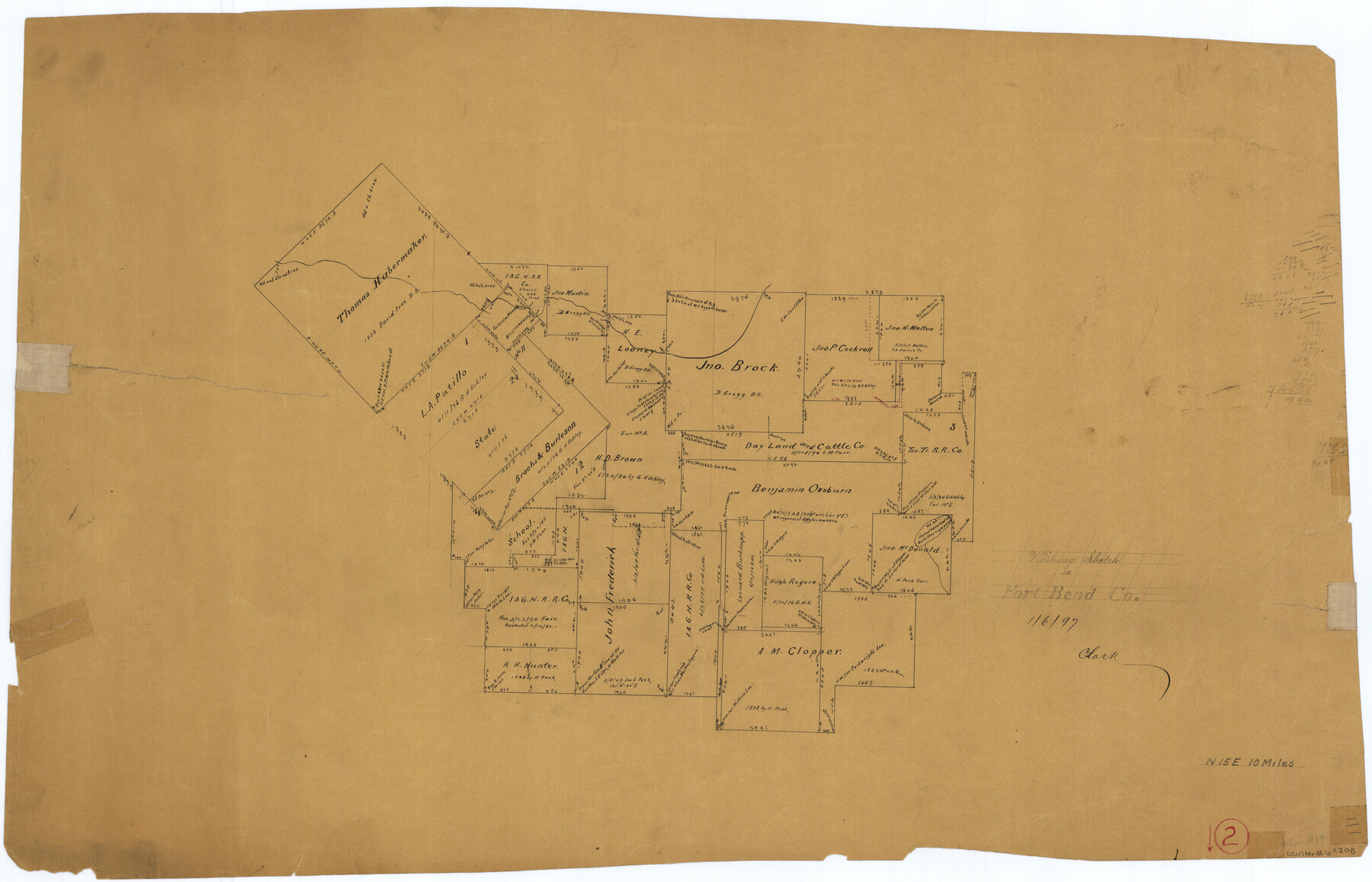
Fort Bend County Working Sketch 2
-
Map/Doc
69208
-
Collection
General Map Collection
-
Object Dates
1/6/1897 (Creation Date)
-
Counties
Fort Bend
-
Subjects
Surveying Working Sketch
-
Height x Width
18.3 x 28.4 inches
46.5 x 72.1 cm
Part of: General Map Collection
Flight Mission No. DCL-7C, Frame 59, Kenedy County

Print $20.00
- Digital $50.00
Flight Mission No. DCL-7C, Frame 59, Kenedy County
1943
Size 15.4 x 15.2 inches
Map/Doc 86047
Burnet County Rolled Sketch D

Print $20.00
- Digital $50.00
Burnet County Rolled Sketch D
1924
Size 47.3 x 40.8 inches
Map/Doc 8541
Cherokee County Working Sketch 3

Print $20.00
- Digital $50.00
Cherokee County Working Sketch 3
1934
Size 29.6 x 42.7 inches
Map/Doc 67958
Map of Dallas & Wichita Railroad Survey

Print $40.00
- Digital $50.00
Map of Dallas & Wichita Railroad Survey
1874
Size 37.3 x 82.7 inches
Map/Doc 64417
[Map of Connecting Lines along or near the Red River]
![75545, [Map of Connecting Lines along or near the Red River], General Map Collection](https://historictexasmaps.com/wmedia_w700/maps/75545.tif.jpg)
Print $40.00
- Digital $50.00
[Map of Connecting Lines along or near the Red River]
Size 37.9 x 48.7 inches
Map/Doc 75545
Office sketch of surveys on St. Joseph Island and Mustang Island in Aransas & Nueces Cos.

Print $20.00
- Digital $50.00
Office sketch of surveys on St. Joseph Island and Mustang Island in Aransas & Nueces Cos.
1978
Size 42.8 x 17.7 inches
Map/Doc 2252
Wharton County Sketch File 10

Print $4.00
- Digital $50.00
Wharton County Sketch File 10
1882
Size 10.9 x 8.5 inches
Map/Doc 39931
Real County Working Sketch 90

Print $20.00
- Digital $50.00
Real County Working Sketch 90
1991
Size 16.7 x 22.8 inches
Map/Doc 71982
Rusk County Working Sketch 25

Print $20.00
- Digital $50.00
Rusk County Working Sketch 25
1941
Size 39.8 x 25.1 inches
Map/Doc 63661
Uvalde County Sketch File 7

Print $6.00
- Digital $50.00
Uvalde County Sketch File 7
Size 14.5 x 11.4 inches
Map/Doc 38962
Cherokee County Sketch File 32

Print $20.00
- Digital $50.00
Cherokee County Sketch File 32
Size 45.2 x 30.0 inches
Map/Doc 10334
Edwards County Working Sketch 101

Print $20.00
- Digital $50.00
Edwards County Working Sketch 101
1971
Size 36.9 x 38.8 inches
Map/Doc 68977
You may also like
Travis County Sketch File 13

Print $4.00
- Digital $50.00
Travis County Sketch File 13
1858
Size 8.2 x 6.5 inches
Map/Doc 38306
Montgomery County Rolled Sketch 35

Print $40.00
- Digital $50.00
Montgomery County Rolled Sketch 35
Size 36.7 x 51.3 inches
Map/Doc 9543
Flight Mission No. BRE-2P, Frame 66, Nueces County

Print $20.00
- Digital $50.00
Flight Mission No. BRE-2P, Frame 66, Nueces County
1956
Size 18.6 x 22.5 inches
Map/Doc 86761
L. A. Wells Subdivision of Sections 6-11-12-13-18, Block V, Cochran County, Tex.

Print $2.00
- Digital $50.00
L. A. Wells Subdivision of Sections 6-11-12-13-18, Block V, Cochran County, Tex.
Size 6.7 x 8.4 inches
Map/Doc 90441
Maverick County Working Sketch 2

Print $20.00
- Digital $50.00
Maverick County Working Sketch 2
1922
Size 46.2 x 38.5 inches
Map/Doc 70894
Nueces County Sketch File 10

Print $4.00
- Digital $50.00
Nueces County Sketch File 10
Size 8.2 x 10.1 inches
Map/Doc 32516
Hall County Sketch File B1

Print $20.00
- Digital $50.00
Hall County Sketch File B1
1904
Size 23.4 x 25.4 inches
Map/Doc 11612
Flight Mission No. DIX-6P, Frame 131, Aransas County

Print $20.00
- Digital $50.00
Flight Mission No. DIX-6P, Frame 131, Aransas County
1956
Size 19.5 x 23.0 inches
Map/Doc 83837
Crockett County, Texas

Print $20.00
- Digital $50.00
Crockett County, Texas
Size 24.7 x 19.5 inches
Map/Doc 90316
Ellis County Boundary File 2

Print $12.00
- Digital $50.00
Ellis County Boundary File 2
Size 10.7 x 8.3 inches
Map/Doc 52944
Comanche County Rolled Sketch 3

Print $20.00
- Digital $50.00
Comanche County Rolled Sketch 3
2017
Size 35.1 x 44.9 inches
Map/Doc 95384
General Highway Map, Bee County, Texas

Print $20.00
General Highway Map, Bee County, Texas
1961
Size 25.1 x 18.3 inches
Map/Doc 79364