[Atchison, Topeka & Santa Fe from Paisano to south of Plata]
Z-2-200
-
Map/Doc
64711
-
Collection
General Map Collection
-
Counties
Presidio
-
Subjects
Railroads
-
Height x Width
34.8 x 123.1 inches
88.4 x 312.7 cm
-
Medium
blueprint/diazo
-
Comments
See 64709 through 64713 for all segments of the map.
-
Features
AT&SF
Part of: General Map Collection
Nueces County Rolled Sketch 69

Print $20.00
- Digital $50.00
Nueces County Rolled Sketch 69
Size 23.8 x 33.0 inches
Map/Doc 6920
Brazos County Sketch File 1

Print $4.00
- Digital $50.00
Brazos County Sketch File 1
1858
Size 10.4 x 7.6 inches
Map/Doc 15550
Stephens County Working Sketch 9


Print $20.00
- Digital $50.00
Stephens County Working Sketch 9
1920
Size 16.3 x 14.6 inches
Map/Doc 63952
Runnels County Sketch File 6

Print $5.00
Runnels County Sketch File 6
1872
Size 9.9 x 15.9 inches
Map/Doc 35440
Flight Mission No. DAG-28K, Frame 25, Matagorda County
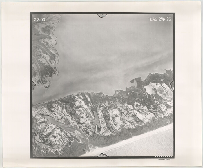

Print $20.00
- Digital $50.00
Flight Mission No. DAG-28K, Frame 25, Matagorda County
1953
Size 18.5 x 22.3 inches
Map/Doc 86593
Kimble County Sketch File 39
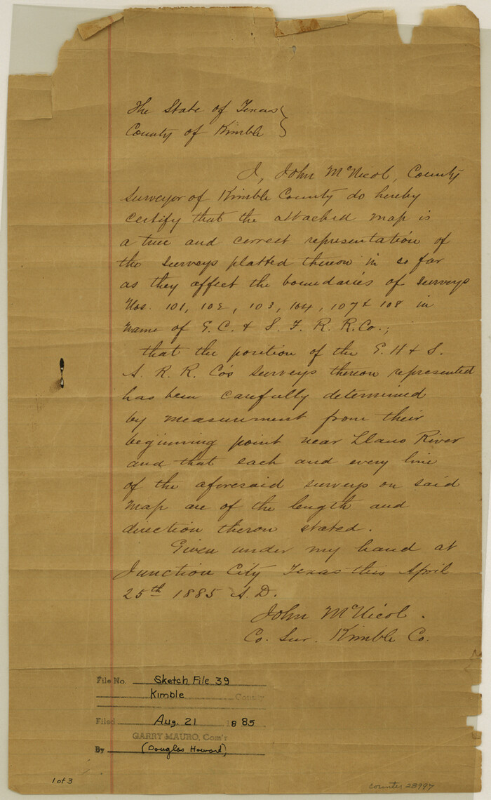

Print $12.00
- Digital $50.00
Kimble County Sketch File 39
1885
Size 14.1 x 8.6 inches
Map/Doc 28997
Collin County Boundary File 2
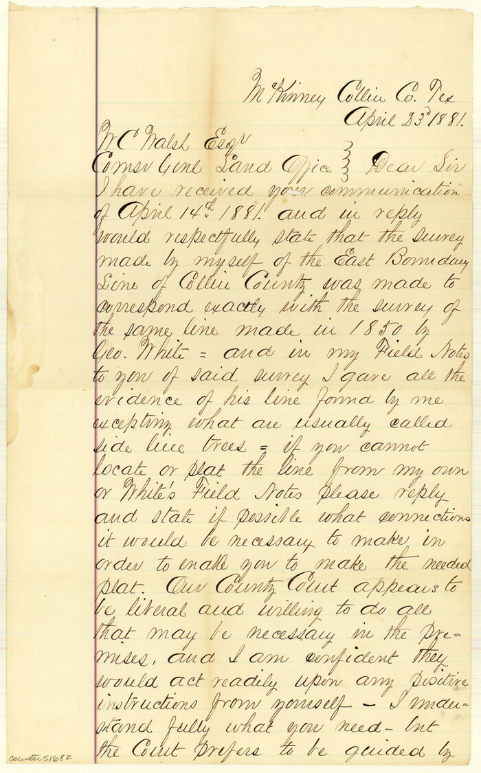

Print $6.00
- Digital $50.00
Collin County Boundary File 2
Size 12.9 x 8.0 inches
Map/Doc 51682
Flight Mission No. CUG-3P, Frame 40, Kleberg County
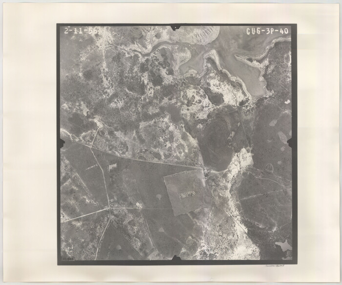

Print $20.00
- Digital $50.00
Flight Mission No. CUG-3P, Frame 40, Kleberg County
1956
Size 18.5 x 22.2 inches
Map/Doc 86245
Blanco County Working Sketch 29


Print $40.00
- Digital $50.00
Blanco County Working Sketch 29
1969
Size 52.4 x 33.4 inches
Map/Doc 67389
Brewster County Sketch File 57


Print $6.00
- Digital $50.00
Brewster County Sketch File 57
2008
Size 11.0 x 8.5 inches
Map/Doc 88871
[Texas Panhandle North Boundary Line]
![1714, [Texas Panhandle North Boundary Line], General Map Collection](https://historictexasmaps.com/wmedia_w700/maps/1714.tif.jpg)
![1714, [Texas Panhandle North Boundary Line], General Map Collection](https://historictexasmaps.com/wmedia_w700/maps/1714.tif.jpg)
Print $20.00
- Digital $50.00
[Texas Panhandle North Boundary Line]
1898
Size 43.6 x 11.4 inches
Map/Doc 1714
You may also like
Flight Mission No. DAG-23K, Frame 174, Matagorda County
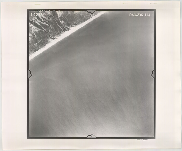

Print $20.00
- Digital $50.00
Flight Mission No. DAG-23K, Frame 174, Matagorda County
1953
Size 18.5 x 22.3 inches
Map/Doc 86512
[Capitol Lands in Oldham and Deaf Smith Counties]
![91482, [Capitol Lands in Oldham and Deaf Smith Counties], Twichell Survey Records](https://historictexasmaps.com/wmedia_w700/maps/91482-1.tif.jpg)
![91482, [Capitol Lands in Oldham and Deaf Smith Counties], Twichell Survey Records](https://historictexasmaps.com/wmedia_w700/maps/91482-1.tif.jpg)
Print $20.00
- Digital $50.00
[Capitol Lands in Oldham and Deaf Smith Counties]
Size 23.2 x 25.8 inches
Map/Doc 91482
Zapata County Sketch File 7
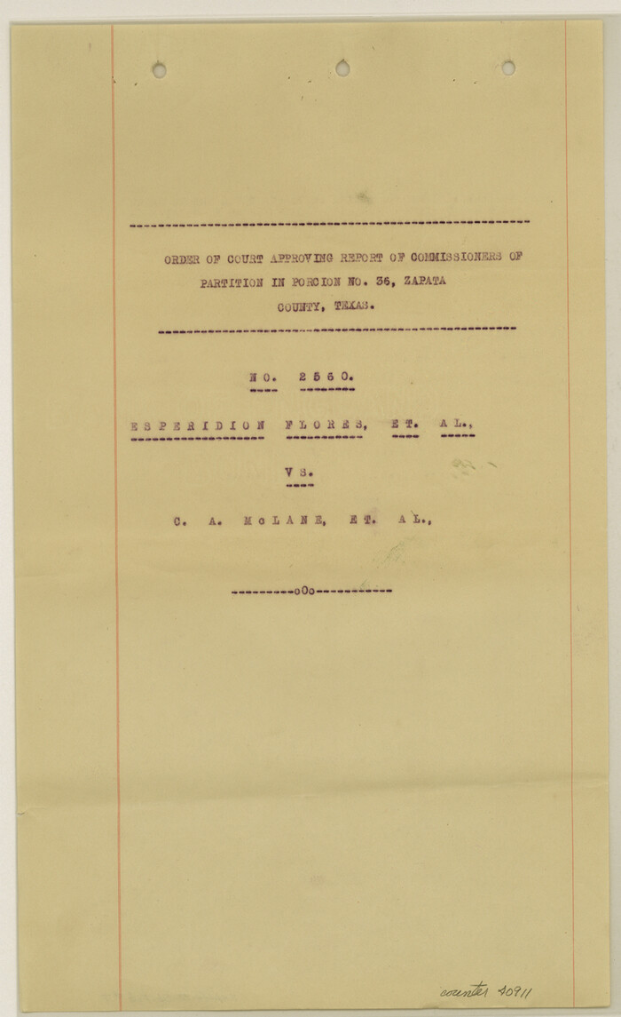

Print $70.00
- Digital $50.00
Zapata County Sketch File 7
1918
Size 14.4 x 8.8 inches
Map/Doc 40911
Terrell County Rolled Sketch 38
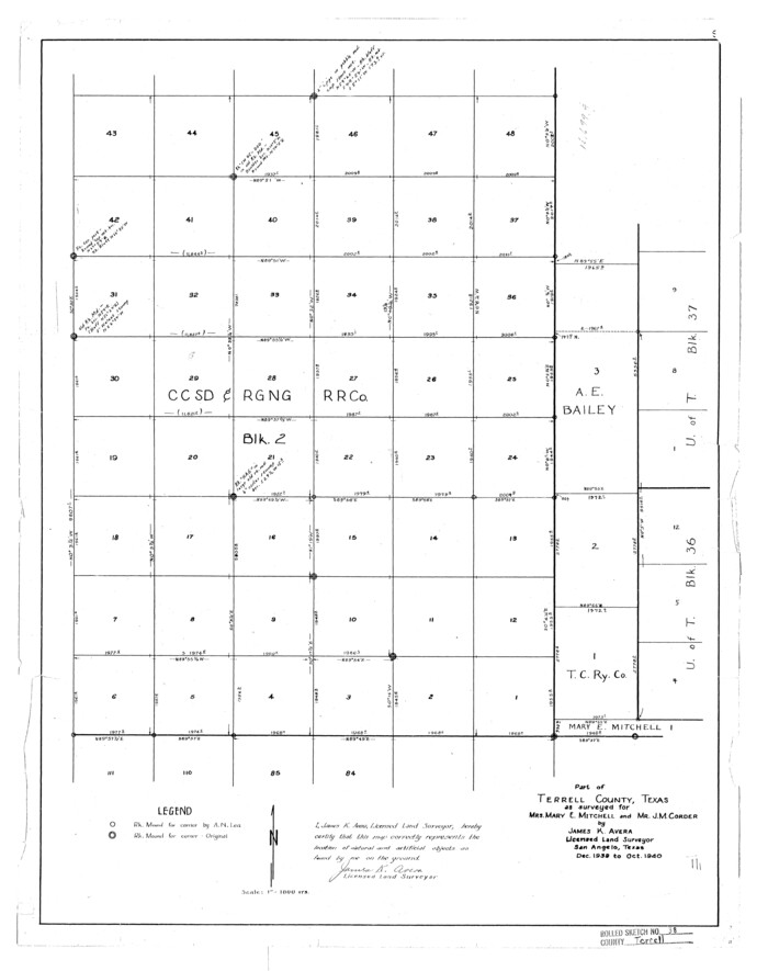

Print $20.00
- Digital $50.00
Terrell County Rolled Sketch 38
Size 22.7 x 18.0 inches
Map/Doc 7942
Culberson County Sketch File 4
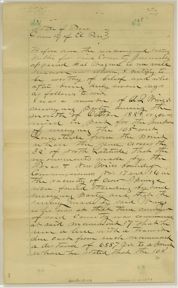

Print $56.00
- Digital $50.00
Culberson County Sketch File 4
1881
Size 14.3 x 8.8 inches
Map/Doc 20123
[Surveys in Williamson County]
![78374, [Surveys in Williamson County], General Map Collection](https://historictexasmaps.com/wmedia_w700/maps/78374.tif.jpg)
![78374, [Surveys in Williamson County], General Map Collection](https://historictexasmaps.com/wmedia_w700/maps/78374.tif.jpg)
Print $2.00
- Digital $50.00
[Surveys in Williamson County]
1846
Size 9.2 x 11.8 inches
Map/Doc 78374
Nacogdoches County Working Sketch 12
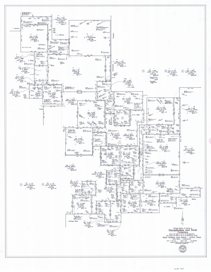

Print $20.00
- Digital $50.00
Nacogdoches County Working Sketch 12
1997
Size 44.9 x 34.9 inches
Map/Doc 71228
Hudspeth County Rolled Sketch 69


Print $20.00
- Digital $50.00
Hudspeth County Rolled Sketch 69
1973
Size 12.2 x 20.8 inches
Map/Doc 7717
Clay County Working Sketch Graphic Index
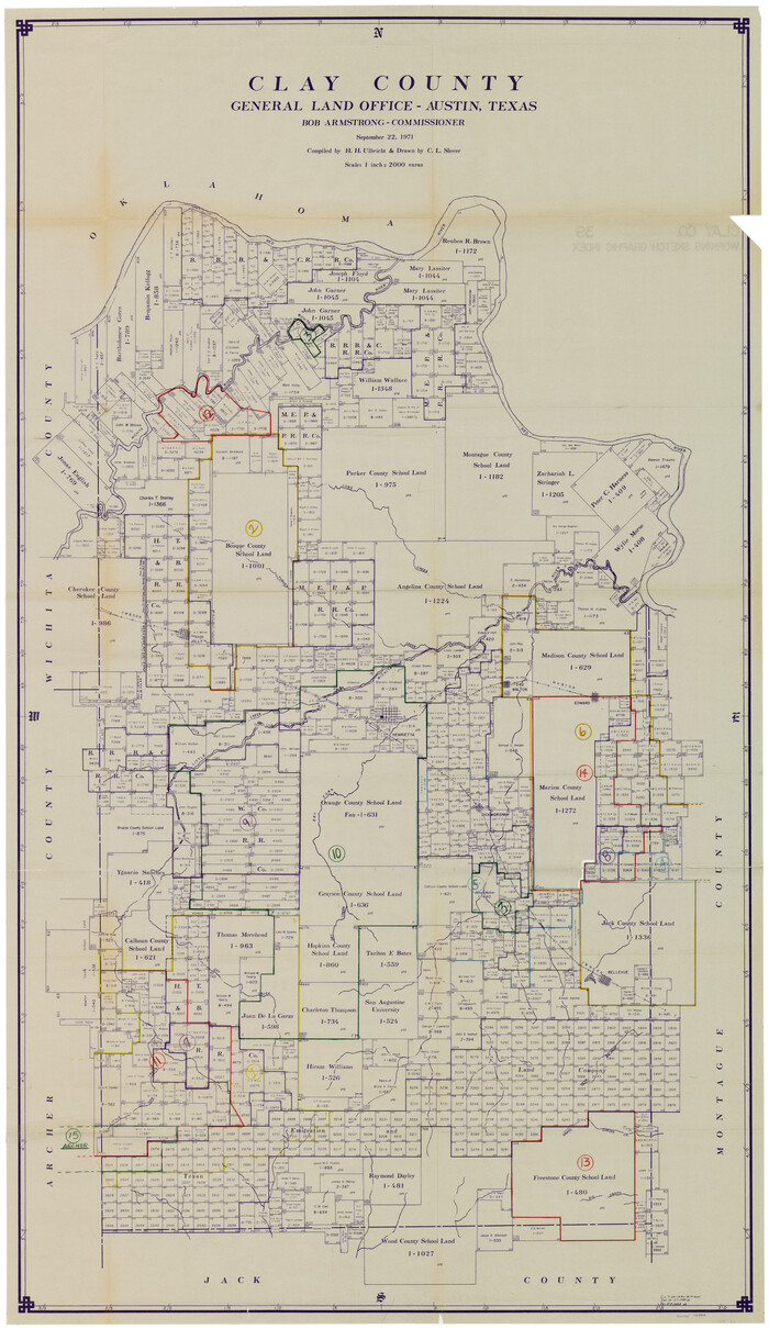

Print $40.00
- Digital $50.00
Clay County Working Sketch Graphic Index
1971
Size 58.4 x 34.3 inches
Map/Doc 76494
Old Miscellaneous File 19
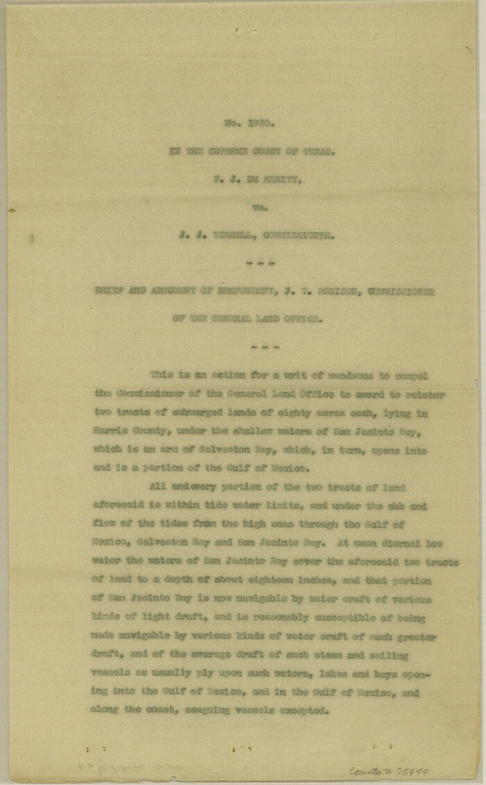

Print $32.00
- Digital $50.00
Old Miscellaneous File 19
Size 14.2 x 8.8 inches
Map/Doc 75499
[Sketch for Mineral Application 27669 - Trinity River, Frank R. Graves]
![2858, [Sketch for Mineral Application 27669 - Trinity River, Frank R. Graves], General Map Collection](https://historictexasmaps.com/wmedia_w700/maps/2858-1.tif.jpg)
![2858, [Sketch for Mineral Application 27669 - Trinity River, Frank R. Graves], General Map Collection](https://historictexasmaps.com/wmedia_w700/maps/2858-1.tif.jpg)
Print $40.00
- Digital $50.00
[Sketch for Mineral Application 27669 - Trinity River, Frank R. Graves]
1934
Size 28.3 x 83.2 inches
Map/Doc 2858
![64711, [Atchison, Topeka & Santa Fe from Paisano to south of Plata], General Map Collection](https://historictexasmaps.com/wmedia_w1800h1800/maps/64711-1.tif.jpg)

