[Blocks B-19, B-29, 34 and 5]
238-27
-
Map/Doc
91846
-
Collection
Twichell Survey Records
-
Object Dates
1902 (Creation Date)
-
Counties
Ward
-
Height x Width
12.2 x 16.4 inches
31.0 x 41.7 cm
Part of: Twichell Survey Records
[Township 3 North, Block 31]
![91217, [Township 3 North, Block 31], Twichell Survey Records](https://historictexasmaps.com/wmedia_w700/maps/91217-1.tif.jpg)
![91217, [Township 3 North, Block 31], Twichell Survey Records](https://historictexasmaps.com/wmedia_w700/maps/91217-1.tif.jpg)
Print $3.00
- Digital $50.00
[Township 3 North, Block 31]
Size 11.6 x 13.4 inches
Map/Doc 91217
Lovington Lea County, N. M. Lots 11, 14-Sec. 4-16-36


Print $40.00
- Digital $50.00
Lovington Lea County, N. M. Lots 11, 14-Sec. 4-16-36
Size 28.8 x 49.9 inches
Map/Doc 89694
[Block M-23 and vicinity]
![91148, [Block M-23 and vicinity], Twichell Survey Records](https://historictexasmaps.com/wmedia_w700/maps/91148-1.tif.jpg)
![91148, [Block M-23 and vicinity], Twichell Survey Records](https://historictexasmaps.com/wmedia_w700/maps/91148-1.tif.jpg)
Print $3.00
- Digital $50.00
[Block M-23 and vicinity]
Size 11.1 x 13.6 inches
Map/Doc 91148
[Texas and Pacific Railway Company, Block 44, Township One South]
![89846, [Texas and Pacific Railway Company, Block 44, Township One South], Twichell Survey Records](https://historictexasmaps.com/wmedia_w700/maps/89846-1.tif.jpg)
![89846, [Texas and Pacific Railway Company, Block 44, Township One South], Twichell Survey Records](https://historictexasmaps.com/wmedia_w700/maps/89846-1.tif.jpg)
Print $40.00
- Digital $50.00
[Texas and Pacific Railway Company, Block 44, Township One South]
1912
Size 41.1 x 56.4 inches
Map/Doc 89846
[Blocks M-22 and M-25 and vicinity]
![91138, [Blocks M-22 and M-25 and vicinity], Twichell Survey Records](https://historictexasmaps.com/wmedia_w700/maps/91138-1.tif.jpg)
![91138, [Blocks M-22 and M-25 and vicinity], Twichell Survey Records](https://historictexasmaps.com/wmedia_w700/maps/91138-1.tif.jpg)
Print $20.00
- Digital $50.00
[Blocks M-22 and M-25 and vicinity]
Size 18.7 x 16.6 inches
Map/Doc 91138
Resurvey of the Original Townsite of Sundown Hockley County, Texas


Print $20.00
- Digital $50.00
Resurvey of the Original Townsite of Sundown Hockley County, Texas
Size 21.7 x 40.3 inches
Map/Doc 92234
[Sketch of part of G. & M. Block 5]
![93072, [Sketch of part of G. & M. Block 5], Twichell Survey Records](https://historictexasmaps.com/wmedia_w700/maps/93072-1.tif.jpg)
![93072, [Sketch of part of G. & M. Block 5], Twichell Survey Records](https://historictexasmaps.com/wmedia_w700/maps/93072-1.tif.jpg)
Print $2.00
- Digital $50.00
[Sketch of part of G. & M. Block 5]
Size 3.9 x 6.6 inches
Map/Doc 93072
[Block Y and vicinity]
![91177, [Block Y and vicinity], Twichell Survey Records](https://historictexasmaps.com/wmedia_w700/maps/91177-1.tif.jpg)
![91177, [Block Y and vicinity], Twichell Survey Records](https://historictexasmaps.com/wmedia_w700/maps/91177-1.tif.jpg)
Print $20.00
- Digital $50.00
[Block Y and vicinity]
Size 17.7 x 14.6 inches
Map/Doc 91177
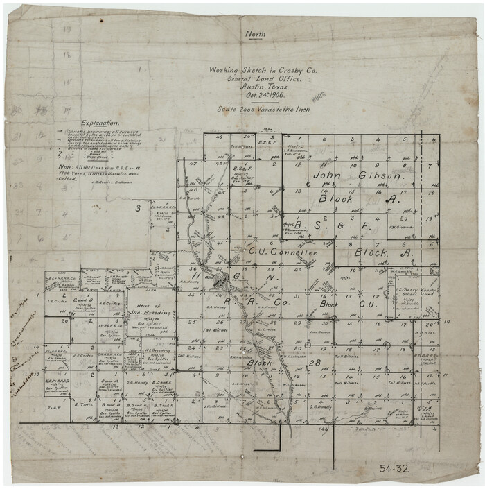
Working Sketch in Crosby Co.

Print $20.00
- Digital $50.00
Working Sketch in Crosby Co.
1906
Size 17.5 x 17.9 inches
Map/Doc 90350
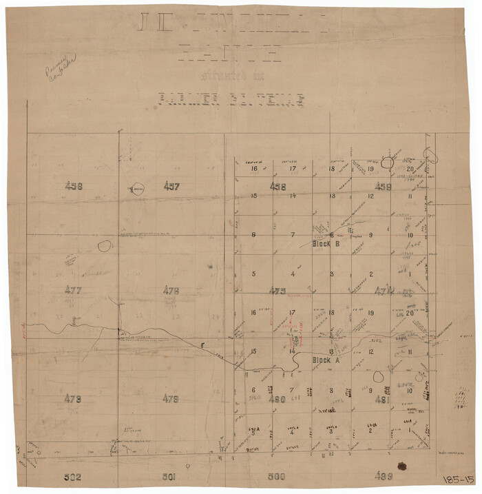
J. E. and J. W. Rhea's Ranch situated in Parmer Co., Texas

Print $20.00
- Digital $50.00
J. E. and J. W. Rhea's Ranch situated in Parmer Co., Texas
Size 23.2 x 24.3 inches
Map/Doc 91607
[Block 30 - Jasper Hays]
![92949, [Block 30 - Jasper Hays], Twichell Survey Records](https://historictexasmaps.com/wmedia_w700/maps/92949-1.tif.jpg)
![92949, [Block 30 - Jasper Hays], Twichell Survey Records](https://historictexasmaps.com/wmedia_w700/maps/92949-1.tif.jpg)
Print $20.00
- Digital $50.00
[Block 30 - Jasper Hays]
Size 25.8 x 17.8 inches
Map/Doc 92949
You may also like
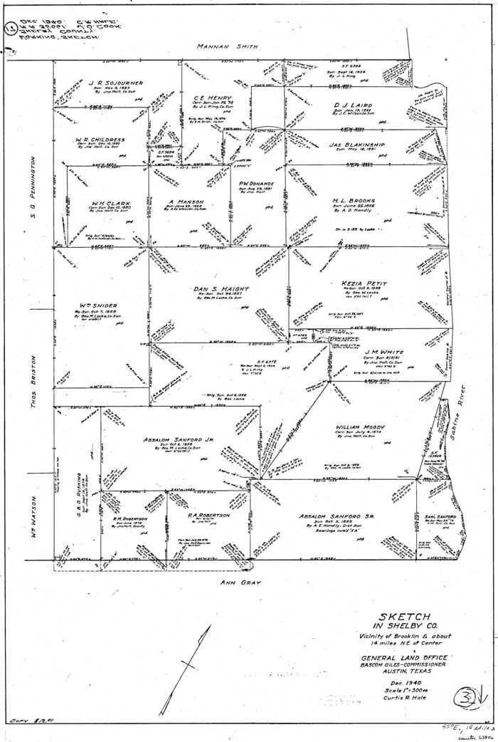
Shelby County Working Sketch 3

Print $20.00
- Digital $50.00
Shelby County Working Sketch 3
1940
Size 28.9 x 19.4 inches
Map/Doc 63856
[Block 3 and part of Block 2]
![90760, [Block 3 and part of Block 2], Twichell Survey Records](https://historictexasmaps.com/wmedia_w700/maps/90760-1.tif.jpg)
![90760, [Block 3 and part of Block 2], Twichell Survey Records](https://historictexasmaps.com/wmedia_w700/maps/90760-1.tif.jpg)
Print $2.00
- Digital $50.00
[Block 3 and part of Block 2]
1882
Size 13.1 x 9.1 inches
Map/Doc 90760
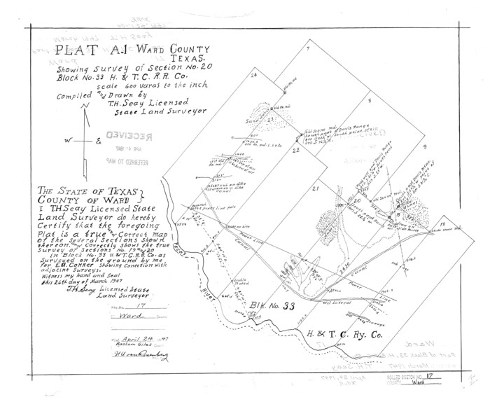
Ward County Rolled Sketch 17

Print $20.00
- Digital $50.00
Ward County Rolled Sketch 17
1947
Size 16.2 x 19.5 inches
Map/Doc 8160
Fisher County Sketch File A2
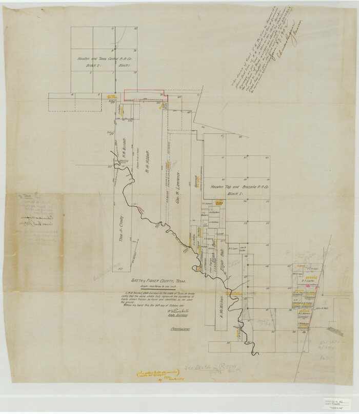

Print $20.00
- Digital $50.00
Fisher County Sketch File A2
1901
Size 35.8 x 31.0 inches
Map/Doc 10450
Hale County Working Sketch 7
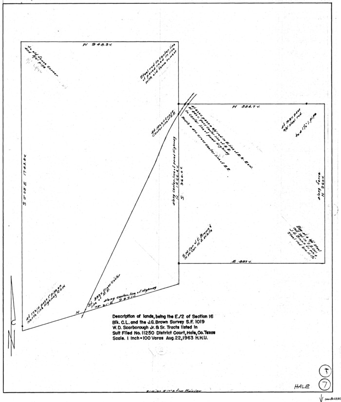

Print $20.00
- Digital $50.00
Hale County Working Sketch 7
1963
Size 24.4 x 20.6 inches
Map/Doc 63327
Freestone County Rolled Sketch 1
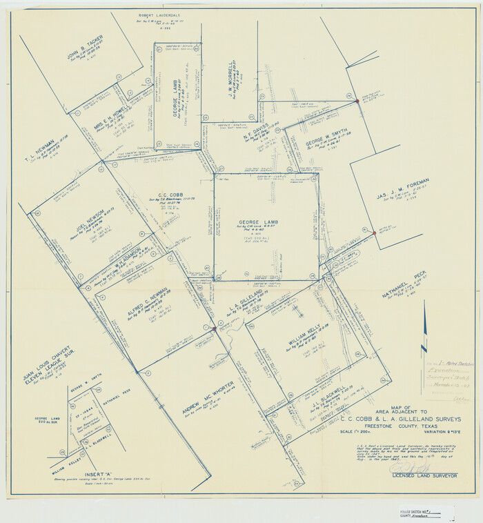

Print $20.00
- Digital $50.00
Freestone County Rolled Sketch 1
1947
Size 28.1 x 26.0 inches
Map/Doc 5909
Galveston County NRC Article 33.136 Location Key Sheet
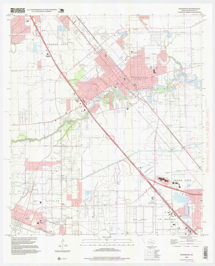

Print $20.00
- Digital $50.00
Galveston County NRC Article 33.136 Location Key Sheet
1995
Size 27.0 x 22.0 inches
Map/Doc 83001
Goliad County Working Sketch 16


Print $20.00
- Digital $50.00
Goliad County Working Sketch 16
1949
Size 30.0 x 46.9 inches
Map/Doc 63206
Jackson County NRC Article 33.136 Sketch 1


Print $66.00
- Digital $50.00
Jackson County NRC Article 33.136 Sketch 1
2013
Size 34.0 x 22.0 inches
Map/Doc 94950
[Surveys in San Jacinto and Polk Counties]
![69749, [Surveys in San Jacinto and Polk Counties], General Map Collection](https://historictexasmaps.com/wmedia_w700/maps/69749.tif.jpg)
![69749, [Surveys in San Jacinto and Polk Counties], General Map Collection](https://historictexasmaps.com/wmedia_w700/maps/69749.tif.jpg)
Print $2.00
- Digital $50.00
[Surveys in San Jacinto and Polk Counties]
Size 9.8 x 3.8 inches
Map/Doc 69749
Freestone County
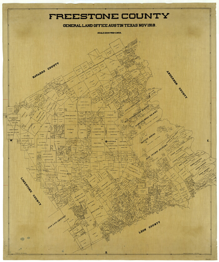

Print $40.00
- Digital $50.00
Freestone County
1918
Size 49.0 x 41.0 inches
Map/Doc 4951
Menard County Boundary File 13a
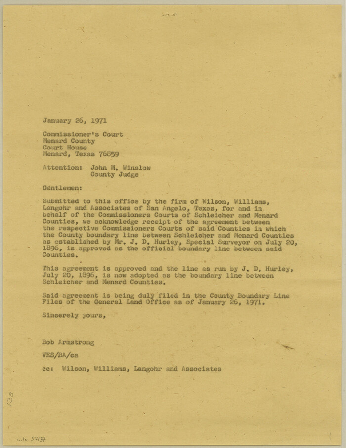

Print $6.00
- Digital $50.00
Menard County Boundary File 13a
Size 11.2 x 8.7 inches
Map/Doc 57137
![91846, [Blocks B-19, B-29, 34 and 5], Twichell Survey Records](https://historictexasmaps.com/wmedia_w1800h1800/maps/91846-1.tif.jpg)
