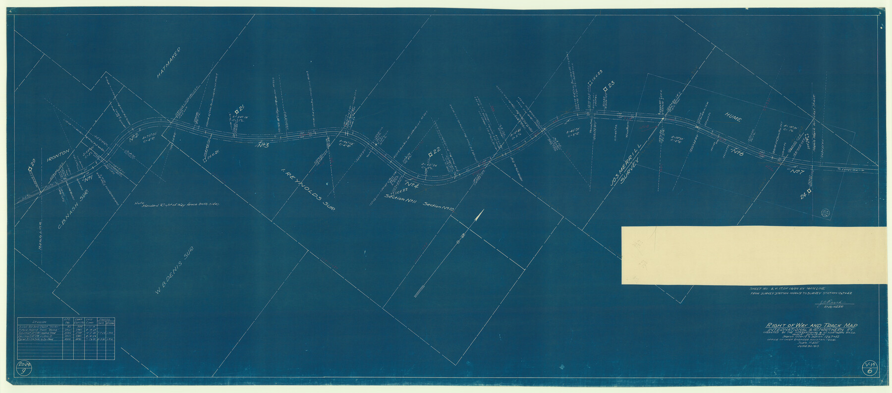
Right of Way and Track Map, International & Gt. Northern Ry. Operated by the International & Gt. Northern Ry. Co., Gulf Division
Station 1054+19 to Station 1267+42
Z-2-62
-
Map/Doc
64247
-
Collection
General Map Collection
-
Object Dates
1929/7/16 (Revision Date)
1930/10/3 (Revision Date)
1917/6/30 (Creation Date)
-
People and Organizations
Office of Chief Engineer (Publisher)
J.C. Resch (Surveyor/Engineer)
-
Counties
Cherokee
-
Subjects
Railroads
-
Height x Width
24.9 x 56.5 inches
63.2 x 143.5 cm
-
Medium
blueprint/diazo
-
Scale
1" = 400'
-
Comments
See counter nos. 64245 through 64253 for all sheets of this map.
-
Features
I&GN
Ironton
Hume
Part of: General Map Collection
Yoakum County Rolled Sketch 1

Print $20.00
- Digital $50.00
Yoakum County Rolled Sketch 1
1939
Size 40.5 x 37.5 inches
Map/Doc 10162
Palo Pinto County Working Sketch 1

Print $20.00
- Digital $50.00
Palo Pinto County Working Sketch 1
1903
Size 19.0 x 14.6 inches
Map/Doc 71384
Calhoun County Working Sketch 9

Print $20.00
- Digital $50.00
Calhoun County Working Sketch 9
1948
Size 45.3 x 43.1 inches
Map/Doc 67825

Coryell County

Print $20.00
- Digital $50.00
Coryell County
1936
Size 44.6 x 40.1 inches
Map/Doc 77249
Webb County Sketch File 10-1

Print $20.00
- Digital $50.00
Webb County Sketch File 10-1
1850
Size 14.8 x 15.5 inches
Map/Doc 12625
Cameron County Rolled Sketch Z

Print $20.00
- Digital $50.00
Cameron County Rolled Sketch Z
1936
Size 24.6 x 31.3 inches
Map/Doc 5400
Travis County

Print $40.00
- Digital $50.00
Travis County
1936
Size 43.2 x 54.6 inches
Map/Doc 63078
Fort Bend County Working Sketch 6

Print $20.00
- Digital $50.00
Fort Bend County Working Sketch 6
1917
Size 15.7 x 15.5 inches
Map/Doc 69212
Pecos County Working Sketch 92

Print $40.00
- Digital $50.00
Pecos County Working Sketch 92
1966
Size 31.4 x 62.2 inches
Map/Doc 71565
Copy of Surveyor's Field Book, Morris Browning - In Blocks 7, 5 & 4, I&GNRRCo., Hutchinson and Carson Counties, Texas

Print $2.00
- Digital $50.00
Copy of Surveyor's Field Book, Morris Browning - In Blocks 7, 5 & 4, I&GNRRCo., Hutchinson and Carson Counties, Texas
1888
Size 7.0 x 8.8 inches
Map/Doc 62276
Cherokee County Sketch File 37

Print $40.00
- Digital $50.00
Cherokee County Sketch File 37
1978
Size 11.2 x 8.7 inches
Map/Doc 18225
You may also like
Yoakum-Terry County Sketch

Print $20.00
- Digital $50.00
Yoakum-Terry County Sketch
Size 9.4 x 27.3 inches
Map/Doc 91977
Henderson County Sketch File 12

Print $8.00
- Digital $50.00
Henderson County Sketch File 12
1871
Size 8.4 x 7.4 inches
Map/Doc 26349
DeWitt County Working Sketch 1

Print $20.00
- Digital $50.00
DeWitt County Working Sketch 1
1937
Size 24.2 x 30.8 inches
Map/Doc 68591
[Block M-23 and vicinity]
![91148, [Block M-23 and vicinity], Twichell Survey Records](https://historictexasmaps.com/wmedia_w700/maps/91148-1.tif.jpg)
Print $3.00
- Digital $50.00
[Block M-23 and vicinity]
Size 11.1 x 13.6 inches
Map/Doc 91148
Descripcion de las Yndias Ocidentales

Print $20.00
- Digital $50.00
Descripcion de las Yndias Ocidentales
Size 9.6 x 13.2 inches
Map/Doc 95962
Map of Wilbarger County, Texas

Print $20.00
Map of Wilbarger County, Texas
1887
Size 11.8 x 8.7 inches
Map/Doc 93587
Upshur County Working Sketch 1

Print $20.00
- Digital $50.00
Upshur County Working Sketch 1
1934
Size 28.9 x 32.6 inches
Map/Doc 69557

Midland County Rolled Sketch 4B

Print $40.00
- Digital $50.00
Midland County Rolled Sketch 4B
1951
Size 77.5 x 25.1 inches
Map/Doc 10725
Real County Working Sketch 2

Print $20.00
- Digital $50.00
Real County Working Sketch 2
1891
Size 19.7 x 20.6 inches
Map/Doc 71894
Nueces County NRC Article 33.136 Sketch 11

Print $20.00
- Digital $50.00
Nueces County NRC Article 33.136 Sketch 11
2000
Size 25.8 x 43.0 inches
Map/Doc 84334
Culberson County Working Sketch 31

Print $20.00
- Digital $50.00
Culberson County Working Sketch 31
1958
Size 30.5 x 30.0 inches
Map/Doc 68484