[Beaumont, Sour Lake and Western Ry. Right of Way and Alignment - Frisco]
Right of Way and Alignment Thro' Nicholas Brady, N.C. Towne, B.A. Dyer, Whitney Britton, J.E. Bandick, G.W. Burkett, Ewing & Ring, H.E. Detering
Z-2-33
-
Map/Doc
64131
-
Collection
General Map Collection
-
Object Dates
1910 (Creation Date)
-
Counties
Harris
-
Subjects
Railroads
-
Height x Width
20.3 x 46.2 inches
51.6 x 117.3 cm
-
Medium
blueprint/diazo
-
Comments
See counter nos. 64105 through 64133 for all sheets.
-
Features
BSL&W
Dyerdale
Part of: General Map Collection
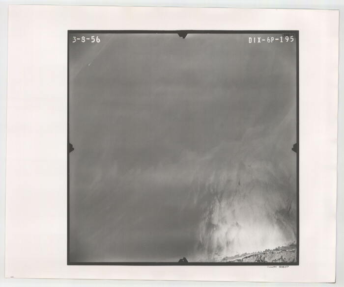
Flight Mission No. DIX-6P, Frame 195, Aransas County

Print $20.00
- Digital $50.00
Flight Mission No. DIX-6P, Frame 195, Aransas County
1956
Size 19.0 x 22.7 inches
Map/Doc 83857
Duval County Sketch File 77


Print $20.00
- Digital $50.00
Duval County Sketch File 77
1967
Size 20.4 x 15.5 inches
Map/Doc 11411
New Map of Texas prepared and published for the Bureau of Immigration of the State of Texas


Print $20.00
- Digital $50.00
New Map of Texas prepared and published for the Bureau of Immigration of the State of Texas
1875
Size 15.8 x 18.3 inches
Map/Doc 93626
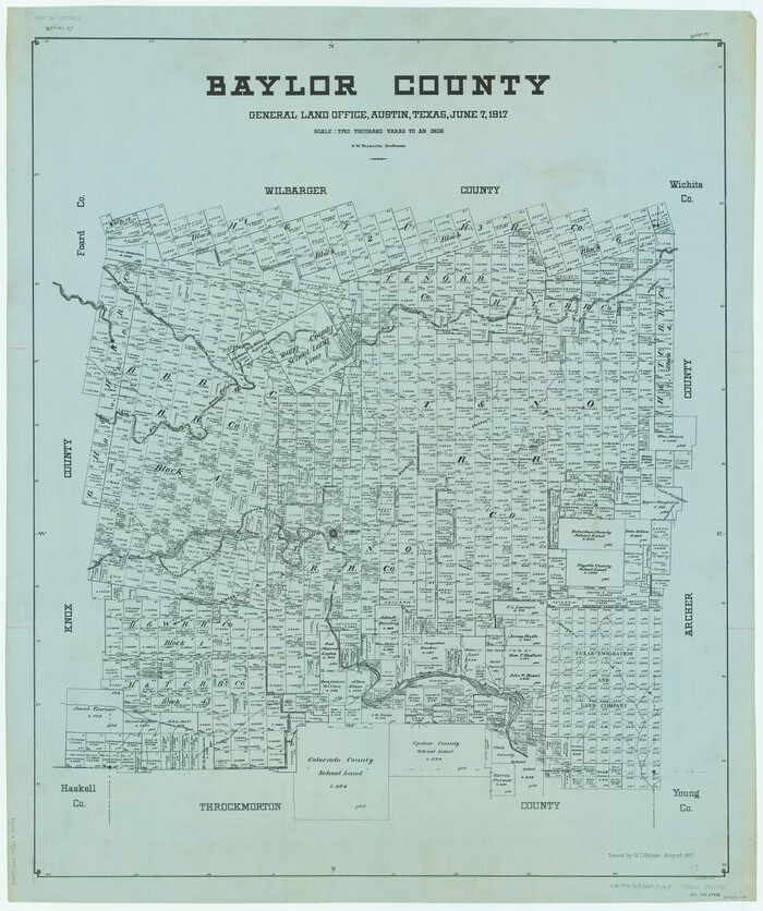
Baylor County

Print $40.00
- Digital $50.00
Baylor County
1917
Size 48.1 x 40.2 inches
Map/Doc 66714
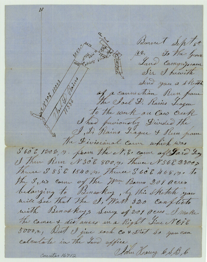
Burnet County Sketch File 20

Print $4.00
- Digital $50.00
Burnet County Sketch File 20
1862
Size 10.1 x 8.0 inches
Map/Doc 16712
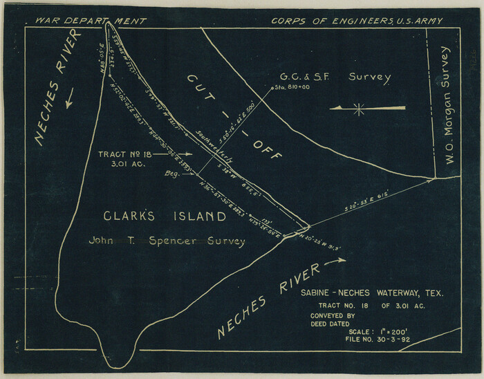
Current Miscellaneous File 83

Print $2.00
- Digital $50.00
Current Miscellaneous File 83
1936
Size 8.3 x 10.6 inches
Map/Doc 74226
[Right of Way & Track Map, The Texas & Pacific Ry. Co. Main Line]
![64682, [Right of Way & Track Map, The Texas & Pacific Ry. Co. Main Line], General Map Collection](https://historictexasmaps.com/wmedia_w700/maps/64682.tif.jpg)
![64682, [Right of Way & Track Map, The Texas & Pacific Ry. Co. Main Line], General Map Collection](https://historictexasmaps.com/wmedia_w700/maps/64682.tif.jpg)
Print $20.00
- Digital $50.00
[Right of Way & Track Map, The Texas & Pacific Ry. Co. Main Line]
Size 11.4 x 18.4 inches
Map/Doc 64682
Harrison County
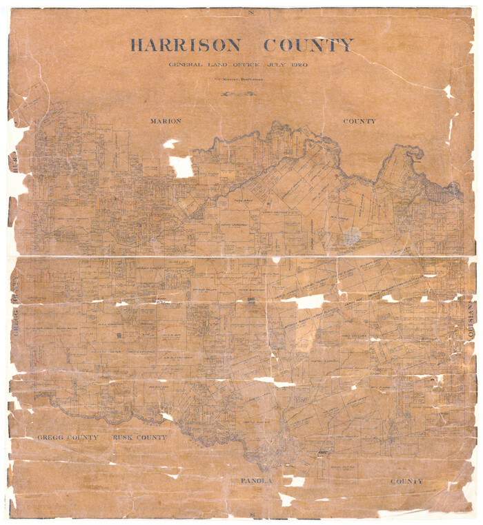

Print $20.00
- Digital $50.00
Harrison County
1920
Size 42.8 x 39.8 inches
Map/Doc 73173
Guadalupe County


Print $20.00
- Digital $50.00
Guadalupe County
1977
Size 36.5 x 47.8 inches
Map/Doc 95515
Haskell County Sketch File 22
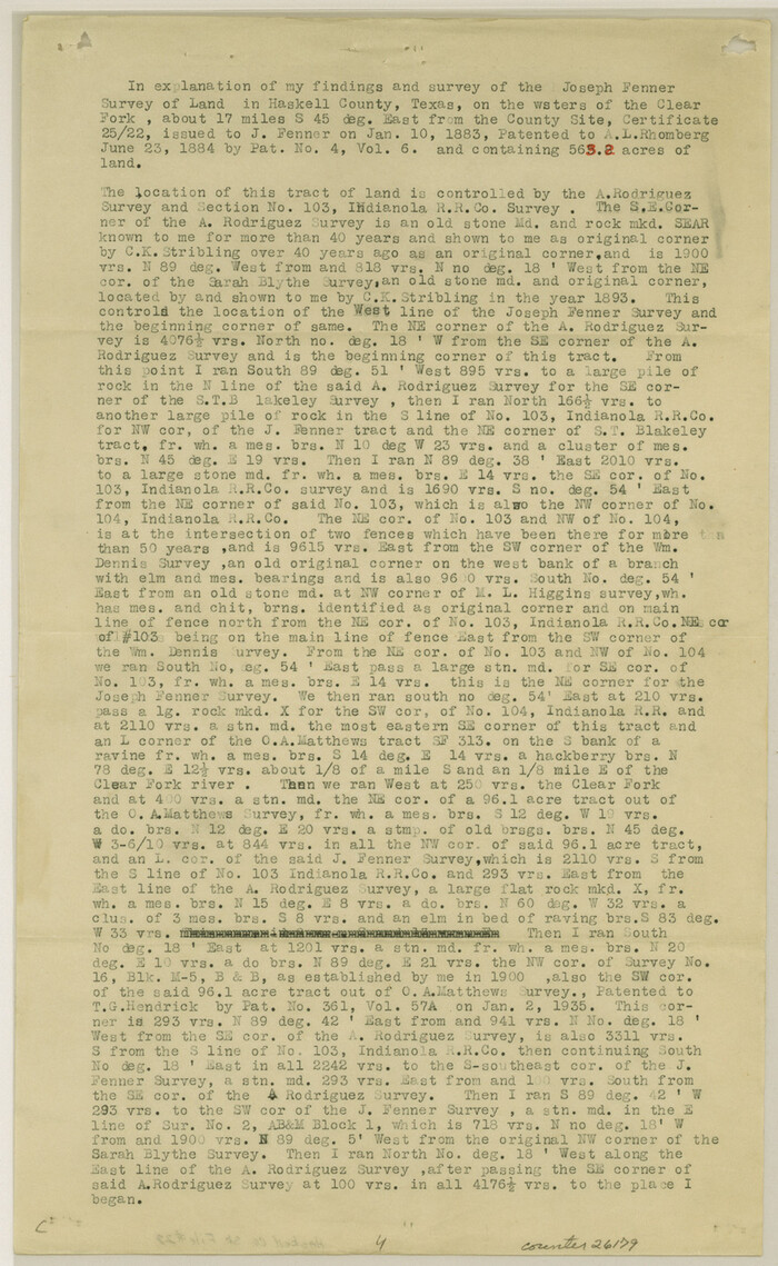

Print $6.00
- Digital $50.00
Haskell County Sketch File 22
Size 14.3 x 8.8 inches
Map/Doc 26179
Colonial Texas. 1822 to 1834.


Print $20.00
- Digital $50.00
Colonial Texas. 1822 to 1834.
1897
Size 12.8 x 16.3 inches
Map/Doc 93410
You may also like
[Sketch of Blocks in Swisher, Deaf Smith, Randall and Castro Counties, Texas]
![75559, [Sketch of Blocks in Swisher, Deaf Smith, Randall and Castro Counties, Texas], Maddox Collection](https://historictexasmaps.com/wmedia_w700/maps/75559.tif.jpg)
![75559, [Sketch of Blocks in Swisher, Deaf Smith, Randall and Castro Counties, Texas], Maddox Collection](https://historictexasmaps.com/wmedia_w700/maps/75559.tif.jpg)
Print $20.00
- Digital $50.00
[Sketch of Blocks in Swisher, Deaf Smith, Randall and Castro Counties, Texas]
1882
Size 22.0 x 22.8 inches
Map/Doc 75559
Map of The Surveyed Part of Peters Colony Texas
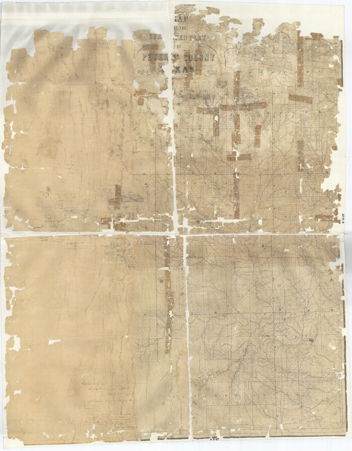

Print $40.00
- Digital $50.00
Map of The Surveyed Part of Peters Colony Texas
1852
Size 54.1 x 42.3 inches
Map/Doc 1965
Flight Mission No. BRE-1P, Frame 151, Nueces County


Print $20.00
- Digital $50.00
Flight Mission No. BRE-1P, Frame 151, Nueces County
1956
Size 18.7 x 22.5 inches
Map/Doc 86711
Liberty County Sketch File 43


Print $4.00
- Digital $50.00
Liberty County Sketch File 43
1863
Size 13.6 x 8.5 inches
Map/Doc 30000
[Map of Chicago, Rock Island & Texas Railway through Tarrant County, Texas]
![64413, [Map of Chicago, Rock Island & Texas Railway through Tarrant County, Texas], General Map Collection](https://historictexasmaps.com/wmedia_w700/maps/64413.tif.jpg)
![64413, [Map of Chicago, Rock Island & Texas Railway through Tarrant County, Texas], General Map Collection](https://historictexasmaps.com/wmedia_w700/maps/64413.tif.jpg)
Print $40.00
- Digital $50.00
[Map of Chicago, Rock Island & Texas Railway through Tarrant County, Texas]
1893
Size 22.3 x 121.8 inches
Map/Doc 64413
Flight Mission No. DQO-7K, Frame 99, Galveston County


Print $20.00
- Digital $50.00
Flight Mission No. DQO-7K, Frame 99, Galveston County
1952
Size 18.7 x 22.5 inches
Map/Doc 85114
Comal County Working Sketch 3
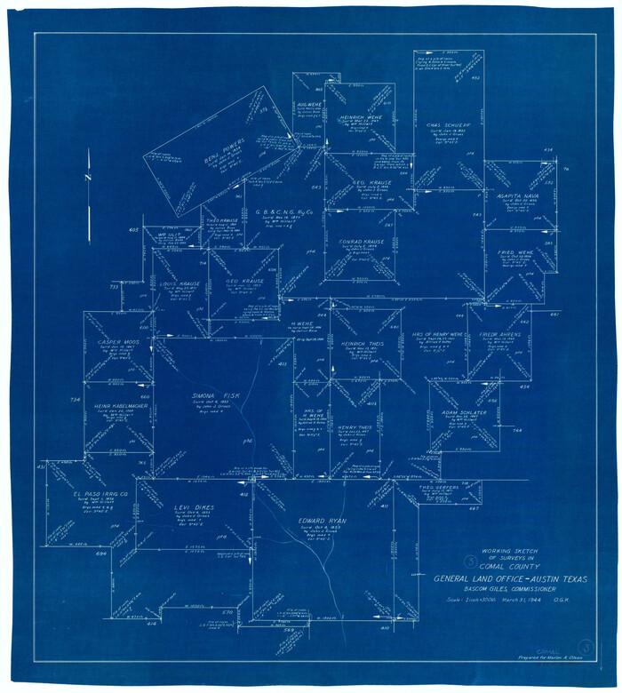

Print $20.00
- Digital $50.00
Comal County Working Sketch 3
1944
Size 31.1 x 27.9 inches
Map/Doc 68169
Boundary Between the United States & Mexico Agreed Upon by the Joint Commission under the Treaty of Guadalupe Hidalgo

Print $20.00
- Digital $50.00
Boundary Between the United States & Mexico Agreed Upon by the Joint Commission under the Treaty of Guadalupe Hidalgo
1853
Size 17.7 x 23.8 inches
Map/Doc 65392
McMullen County Working Sketch 19
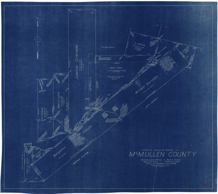

Print $20.00
- Digital $50.00
McMullen County Working Sketch 19
1944
Size 26.1 x 29.2 inches
Map/Doc 70720
Map of Nacogdoches County
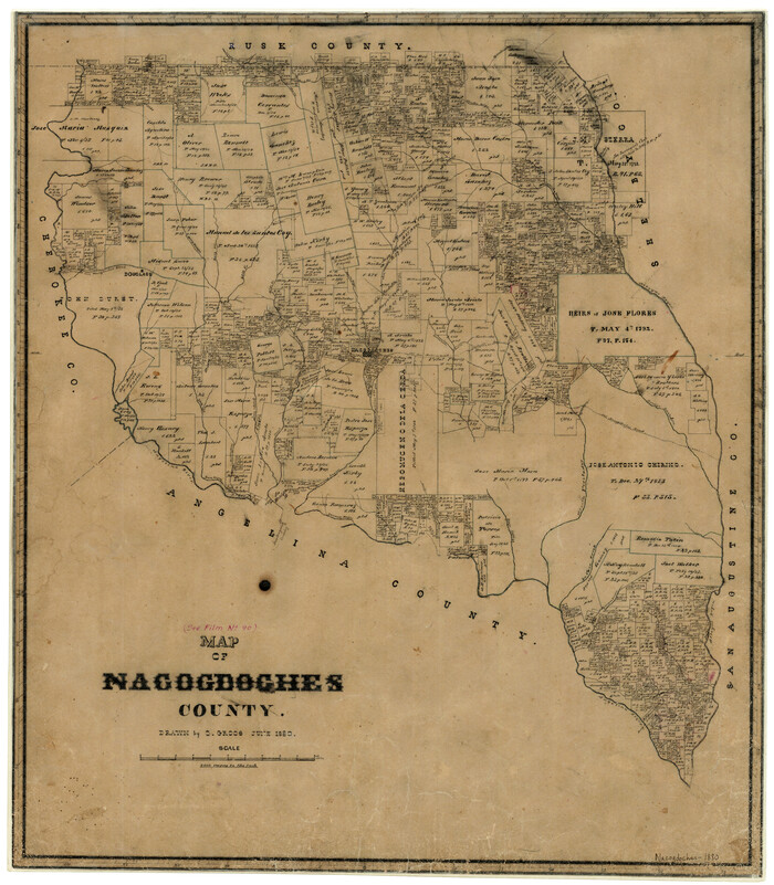

Print $20.00
- Digital $50.00
Map of Nacogdoches County
1880
Size 23.9 x 20.9 inches
Map/Doc 3908
General Highway Map, Foard County, Texas
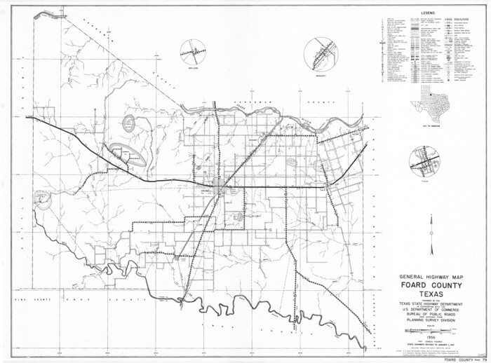

Print $20.00
General Highway Map, Foard County, Texas
1961
Size 18.2 x 24.6 inches
Map/Doc 79468
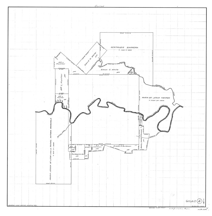
Goliad County Working Sketch 4

Print $20.00
- Digital $50.00
Goliad County Working Sketch 4
1920
Size 30.5 x 30.0 inches
Map/Doc 63194
![64131, [Beaumont, Sour Lake and Western Ry. Right of Way and Alignment - Frisco], General Map Collection](https://historictexasmaps.com/wmedia_w1800h1800/maps/64131.tif.jpg)
