[Location St. L. & S. W. R. R. Through Cherokee County]
Z-2-10
-
Map/Doc
64044
-
Collection
General Map Collection
-
Object Dates
7/16/1895 (File Date)
-
People and Organizations
J. J. Groos (GLO Commissioner)
-
Counties
Cherokee
-
Subjects
Railroads
-
Height x Width
39.2 x 122.1 inches
99.6 x 310.1 cm
-
Medium
linen, manuscript
-
Scale
1" = 200 feet
-
Comments
Segment 1; see counter no. 64045 for segment 2 and counter nos. 64042 through 64043 for sheets 1 and 2.
Part of: General Map Collection
Dickens County Sketch File B
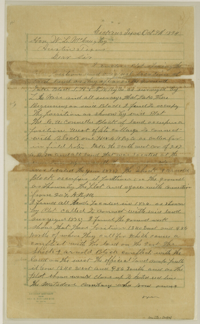

Print $4.00
- Digital $50.00
Dickens County Sketch File B
1894
Size 14.2 x 8.8 inches
Map/Doc 20831
Flight Mission No. BRE-1P, Frame 98, Nueces County


Print $20.00
- Digital $50.00
Flight Mission No. BRE-1P, Frame 98, Nueces County
1956
Size 18.4 x 22.1 inches
Map/Doc 86669
[Corpus Christi Bay, Padre Island, Mustang Island, Laguna de la Madre, King and Kenedy's Pasture]
![73042, [Corpus Christi Bay, Padre Island, Mustang Island, Laguna de la Madre, King and Kenedy's Pasture], General Map Collection](https://historictexasmaps.com/wmedia_w700/maps/73042.tif.jpg)
![73042, [Corpus Christi Bay, Padre Island, Mustang Island, Laguna de la Madre, King and Kenedy's Pasture], General Map Collection](https://historictexasmaps.com/wmedia_w700/maps/73042.tif.jpg)
Print $20.00
- Digital $50.00
[Corpus Christi Bay, Padre Island, Mustang Island, Laguna de la Madre, King and Kenedy's Pasture]
Size 26.2 x 18.2 inches
Map/Doc 73042
Hood County Sketch File 25
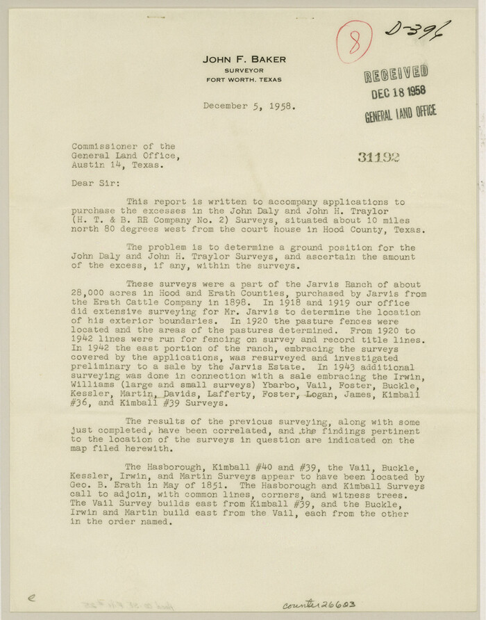

Print $12.00
- Digital $50.00
Hood County Sketch File 25
1958
Size 11.3 x 8.9 inches
Map/Doc 26623
Coke County Working Sketch 8


Print $20.00
- Digital $50.00
Coke County Working Sketch 8
1926
Size 26.9 x 25.5 inches
Map/Doc 68045
Hunt County Boundary File 10b


Print $4.00
- Digital $50.00
Hunt County Boundary File 10b
Size 11.3 x 8.9 inches
Map/Doc 55264
Schleicher County Sketch File 6


Print $4.00
- Digital $50.00
Schleicher County Sketch File 6
Size 8.1 x 8.5 inches
Map/Doc 36472
2017 Official Travel Map, Texas


2017 Official Travel Map, Texas
2017
Size 33.6 x 36.4 inches
Map/Doc 94415
Garza County Sketch File 15


Print $20.00
- Digital $50.00
Garza County Sketch File 15
1902
Size 16.8 x 14.7 inches
Map/Doc 11545
Galveston County Sketch File 24
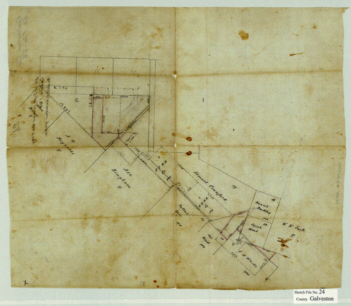

Print $20.00
- Digital $50.00
Galveston County Sketch File 24
Size 15.8 x 18.1 inches
Map/Doc 11531
Gaines County Working Sketch 24


Print $20.00
- Digital $50.00
Gaines County Working Sketch 24
1983
Size 36.4 x 37.9 inches
Map/Doc 69324
Brewster County Working Sketch Graphic Index, South Part
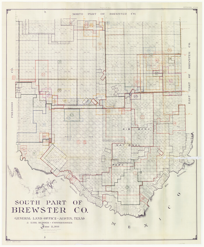

Print $40.00
- Digital $50.00
Brewster County Working Sketch Graphic Index, South Part
1955
Size 48.5 x 40.4 inches
Map/Doc 76475
You may also like
Sutton County Sketch File 38


Print $20.00
- Digital $50.00
Sutton County Sketch File 38
1935
Size 18.2 x 28.3 inches
Map/Doc 12388
Knox County Sketch File 26


Print $40.00
- Digital $50.00
Knox County Sketch File 26
1957
Size 17.3 x 14.4 inches
Map/Doc 29262
Map showing the Houston & Texas Central Railroad and its connections
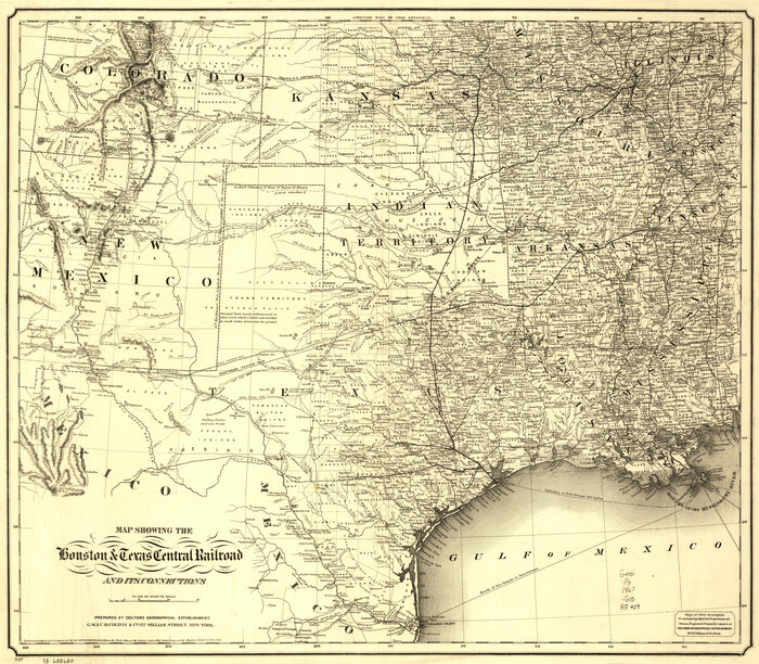

Print $20.00
Map showing the Houston & Texas Central Railroad and its connections
1867
Size 22.0 x 25.2 inches
Map/Doc 93604
Garza County Rolled Sketch 11


Print $20.00
- Digital $50.00
Garza County Rolled Sketch 11
1915
Size 31.6 x 20.8 inches
Map/Doc 6000
Houston County Working Sketch 2
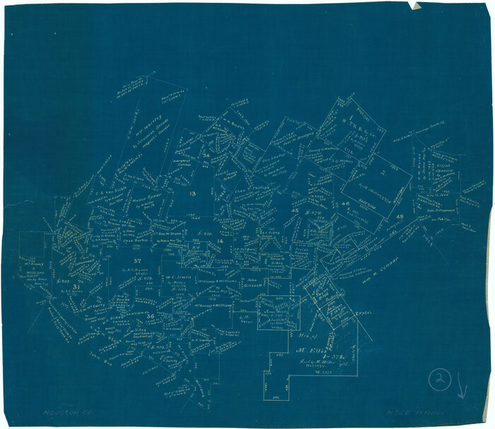

Print $20.00
- Digital $50.00
Houston County Working Sketch 2
Size 16.1 x 18.6 inches
Map/Doc 66232
Erath County Sketch File 3

Print $4.00
- Digital $50.00
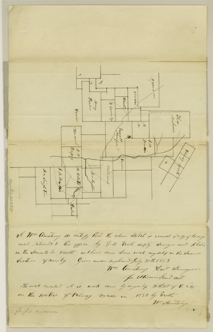
Erath County Sketch File 3
1853
Size 13.0 x 8.3 inches
Map/Doc 22255
Flight Mission No. DQO-1K, Frame 38, Galveston County


Print $20.00
- Digital $50.00
Flight Mission No. DQO-1K, Frame 38, Galveston County
1952
Size 18.0 x 17.6 inches
Map/Doc 84981
Nacogdoches County Working Sketch 1

Print $20.00
- Digital $50.00
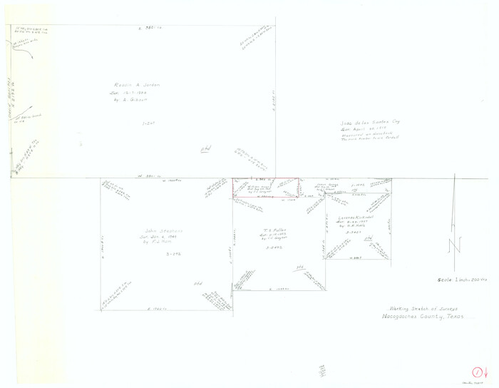
Nacogdoches County Working Sketch 1
Size 27.8 x 35.8 inches
Map/Doc 71217
Pecos County Rolled Sketch 95


Print $20.00
- Digital $50.00
Pecos County Rolled Sketch 95
Size 18.6 x 25.9 inches
Map/Doc 7247
Dimmit County Sketch File 21

Print $16.00
- Digital $50.00
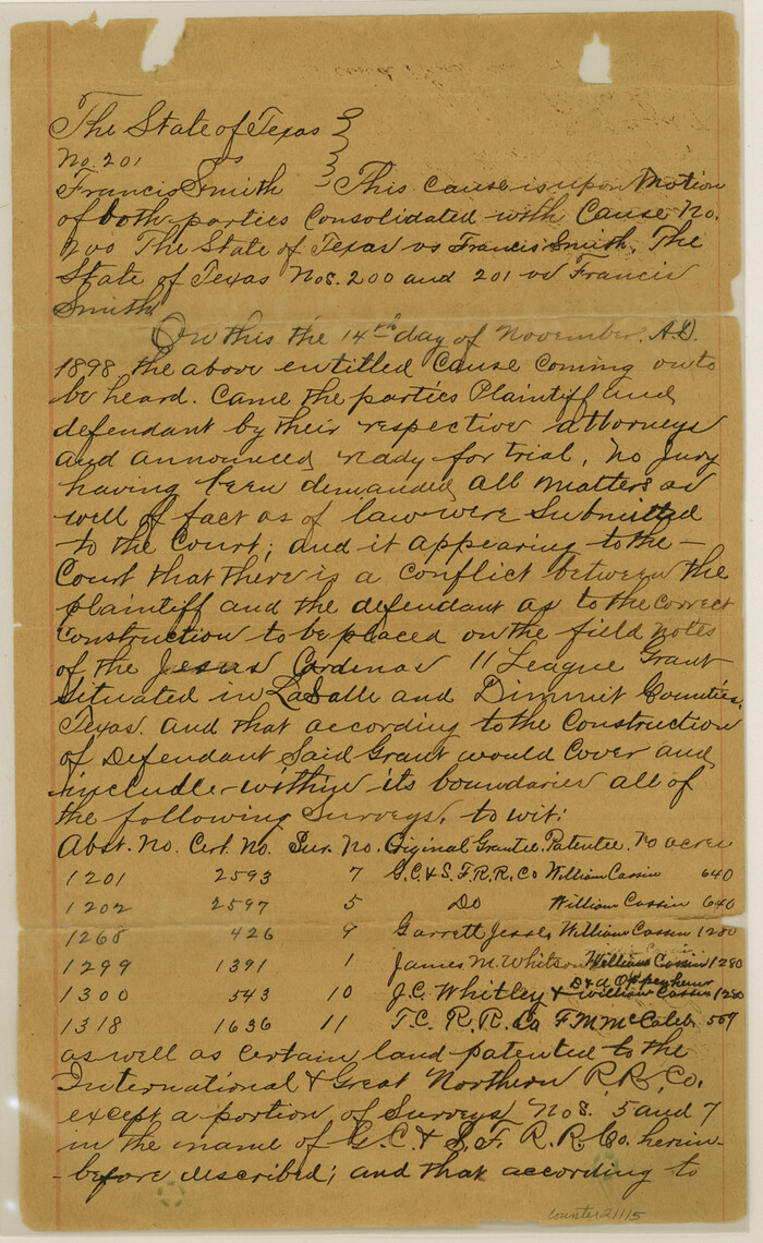
Dimmit County Sketch File 21
1898
Size 14.4 x 8.8 inches
Map/Doc 21115
![64044, [Location St. L. & S. W. R. R. Through Cherokee County], General Map Collection](https://historictexasmaps.com/wmedia_w1800h1800/maps/64044-1.tif.jpg)
