[Galveston, Harrisburg & San Antonio through El Paso County]
Z-2-2
-
Map/Doc
64008
-
Collection
General Map Collection
-
Object Dates
1906/11/28 (Creation Date)
-
Counties
El Paso
-
Subjects
Railroads
-
Height x Width
13.7 x 33.8 inches
34.8 x 85.9 cm
-
Medium
blueprint/diazo
-
Comments
See counter nos. 64001 through 64007 and 64009 through 64015 for other sections of the map.
-
Features
GH&SA
[Railroad line] to Houston
Bola
[Railroad line] to El Paso
Part of: General Map Collection
Pecos County Rolled Sketch 127


Print $20.00
- Digital $50.00
Pecos County Rolled Sketch 127
Size 20.7 x 23.9 inches
Map/Doc 7267
Duval County Sketch File 84


Print $6.00
- Digital $50.00
Duval County Sketch File 84
1945
Size 14.4 x 8.9 inches
Map/Doc 21531
Fannin County Rolled Sketch 22
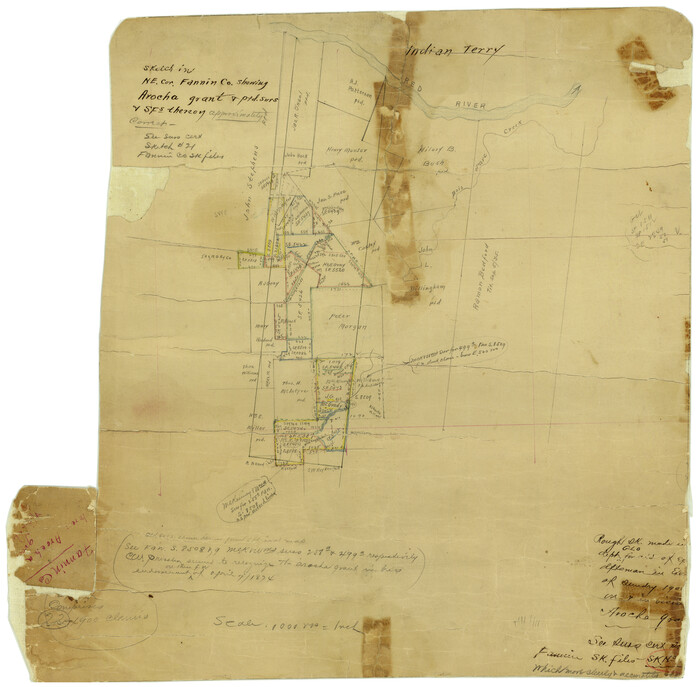

Print $20.00
- Digital $50.00
Fannin County Rolled Sketch 22
Size 19.1 x 20.7 inches
Map/Doc 5875
Jefferson County Sketch File 34
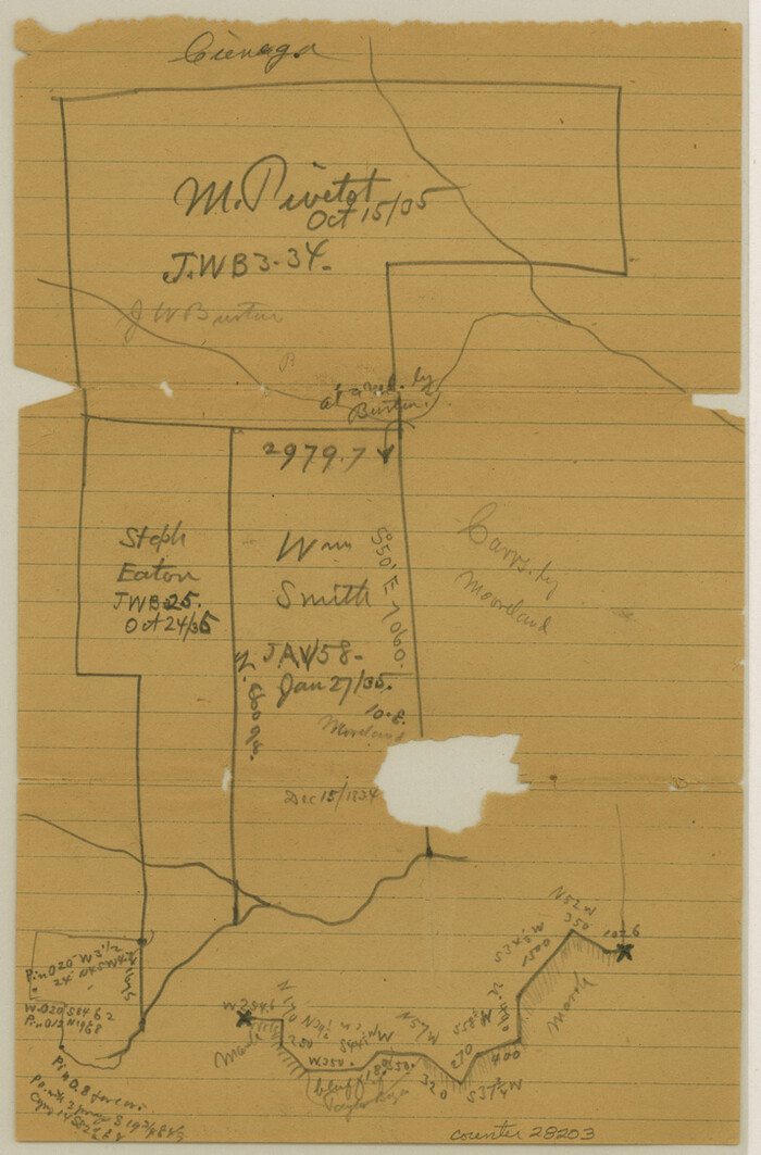

Print $9.00
- Digital $50.00
Jefferson County Sketch File 34
1900
Size 10.9 x 7.1 inches
Map/Doc 28203
Dallas County Working Sketch 9
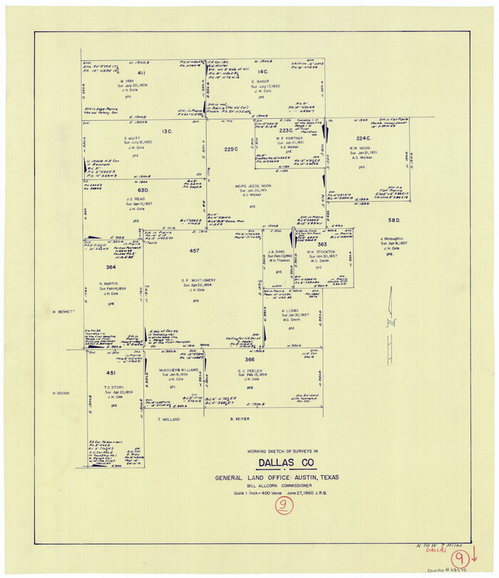

Print $20.00
- Digital $50.00
Dallas County Working Sketch 9
1960
Size 23.1 x 20.0 inches
Map/Doc 68575
Lynn County Working Sketch Graphic Index


Print $20.00
- Digital $50.00
Lynn County Working Sketch Graphic Index
1961
Size 38.7 x 35.1 inches
Map/Doc 76627
Copy of Surveyor's Field Book, Morris Browning - In Blocks 7, 5 & 4, I&GNRRCo., Hutchinson and Carson Counties, Texas
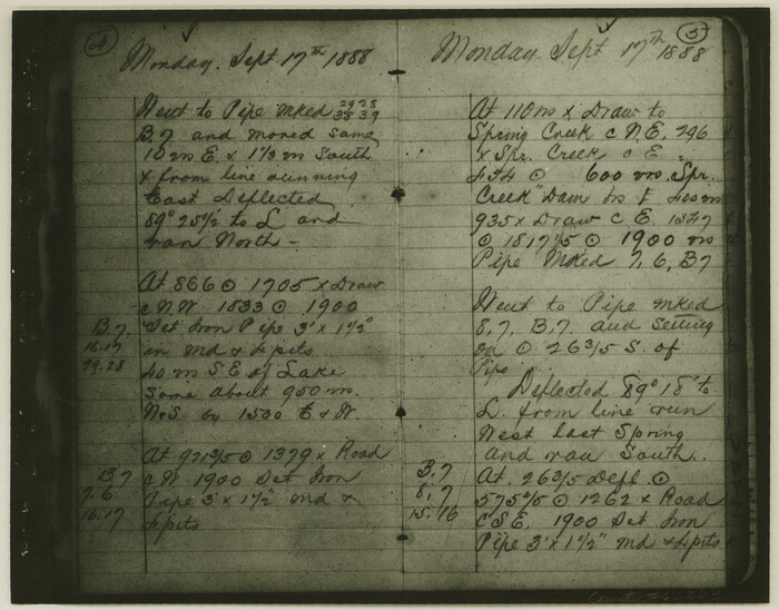

Print $2.00
- Digital $50.00
Copy of Surveyor's Field Book, Morris Browning - In Blocks 7, 5 & 4, I&GNRRCo., Hutchinson and Carson Counties, Texas
1888
Size 6.9 x 8.8 inches
Map/Doc 62263
Anderson County Sketch File 17
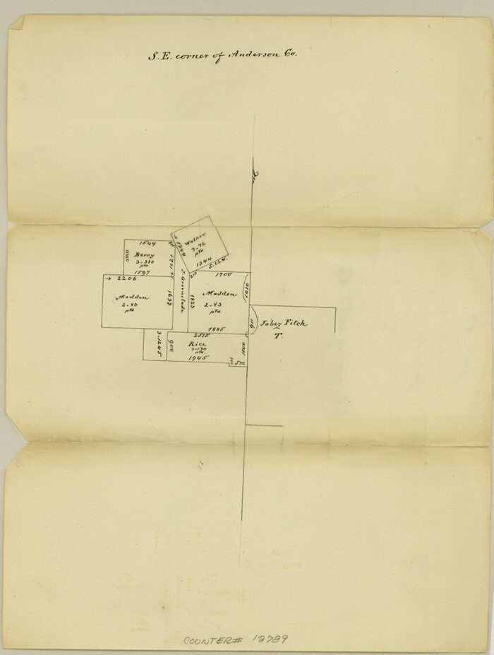

Print $4.00
- Digital $50.00
Anderson County Sketch File 17
1871
Size 10.2 x 7.7 inches
Map/Doc 12789
Shackelford County Boundary File 7a


Print $9.00
- Digital $50.00
Shackelford County Boundary File 7a
Size 14.9 x 9.4 inches
Map/Doc 58689
Rusk County Sketch File 17a


Print $4.00
Rusk County Sketch File 17a
Size 8.4 x 7.8 inches
Map/Doc 35522
Part of Laguna Madre in Nueces and Kleberg Counties, showing Subdivision for Mineral Development
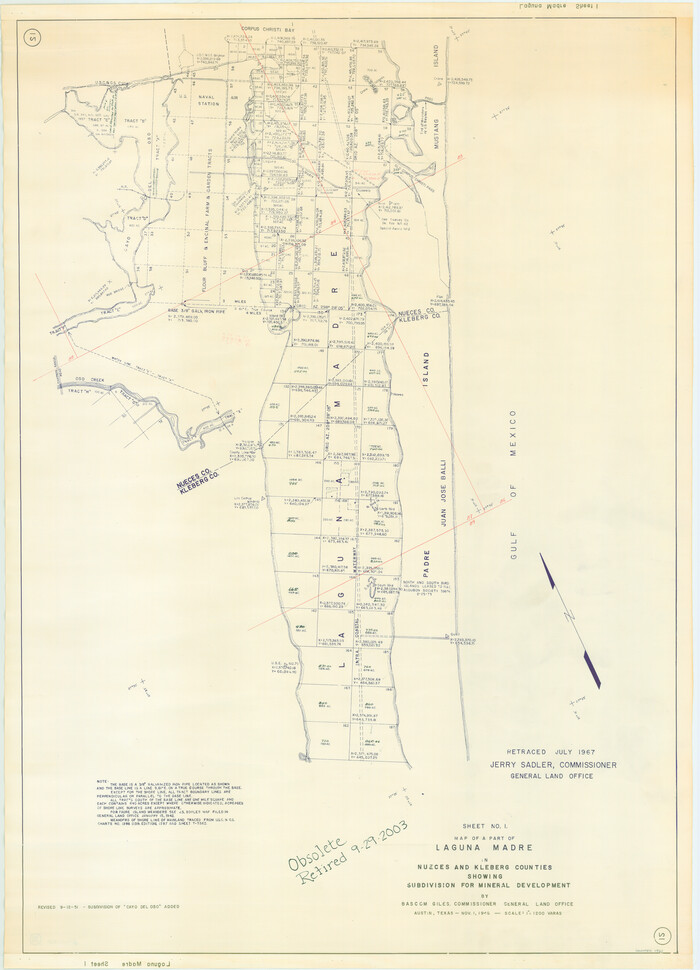

Print $20.00
- Digital $50.00
Part of Laguna Madre in Nueces and Kleberg Counties, showing Subdivision for Mineral Development
1948
Size 42.0 x 30.3 inches
Map/Doc 1921
Flight Mission No. CGI-3N, Frame 137, Cameron County
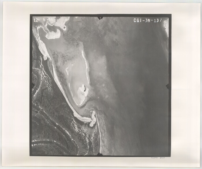

Print $20.00
- Digital $50.00
Flight Mission No. CGI-3N, Frame 137, Cameron County
1954
Size 18.6 x 22.2 inches
Map/Doc 84610
You may also like
Orange County Working Sketch 48


Print $20.00
- Digital $50.00
Orange County Working Sketch 48
1991
Size 13.3 x 19.9 inches
Map/Doc 71380
[Capitol League Surveys in Hartley County, Texas]
![1766, [Capitol League Surveys in Hartley County, Texas], General Map Collection](https://historictexasmaps.com/wmedia_w700/maps/1766.tif.jpg)
![1766, [Capitol League Surveys in Hartley County, Texas], General Map Collection](https://historictexasmaps.com/wmedia_w700/maps/1766.tif.jpg)
Print $20.00
- Digital $50.00
[Capitol League Surveys in Hartley County, Texas]
1910
Size 19.6 x 27.9 inches
Map/Doc 1766
Reeves County Working Sketch 63
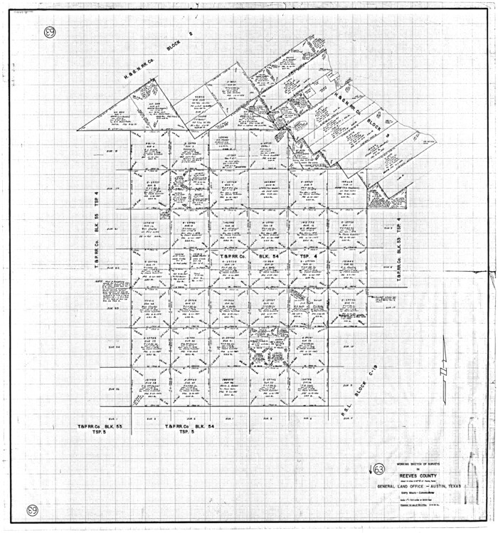

Print $20.00
- Digital $50.00
Reeves County Working Sketch 63
1984
Size 35.7 x 33.4 inches
Map/Doc 63506
Starr County Working Sketch 27


Print $20.00
- Digital $50.00
Starr County Working Sketch 27
1994
Size 29.6 x 30.3 inches
Map/Doc 63943
Flight Mission No. DIX-7P, Frame 14, Aransas County


Print $20.00
- Digital $50.00
Flight Mission No. DIX-7P, Frame 14, Aransas County
1956
Size 18.8 x 22.6 inches
Map/Doc 83866
Dimmit County Working Sketch 46
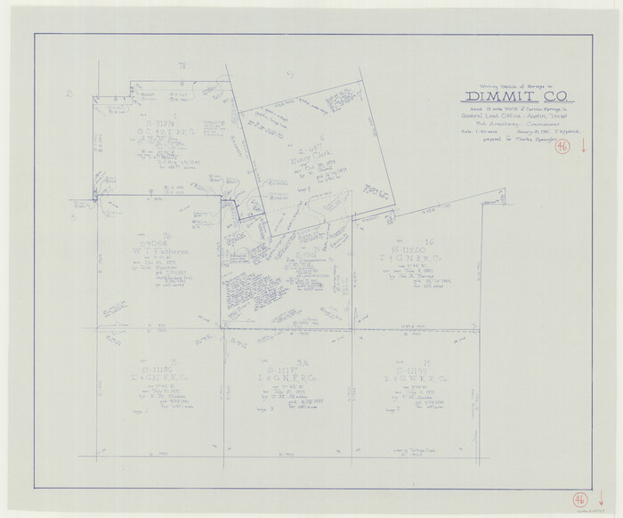

Print $20.00
- Digital $50.00
Dimmit County Working Sketch 46
1980
Size 25.7 x 31.0 inches
Map/Doc 68707
Plan C, Part 1st Shewing that portion of the boundary between Texas and the United States, included between the intersection of the 32nd degree of Latitude with western bank of Sabine River and the 36th mile mound


Print $20.00
- Digital $50.00
Plan C, Part 1st Shewing that portion of the boundary between Texas and the United States, included between the intersection of the 32nd degree of Latitude with western bank of Sabine River and the 36th mile mound
1842
Size 19.4 x 27.7 inches
Map/Doc 65412
Flight Mission No. DAG-26K, Frame 64, Matagorda County
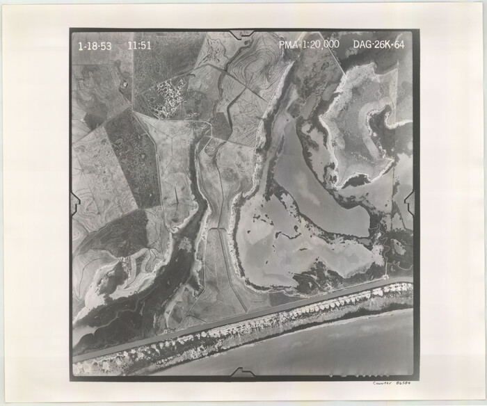

Print $20.00
- Digital $50.00
Flight Mission No. DAG-26K, Frame 64, Matagorda County
1953
Size 18.5 x 22.2 inches
Map/Doc 86584
Travis County Rolled Sketch 32A


Print $40.00
- Digital $50.00
Travis County Rolled Sketch 32A
Size 57.6 x 37.3 inches
Map/Doc 10013
Flight Mission No. BRA-7M, Frame 7, Jefferson County
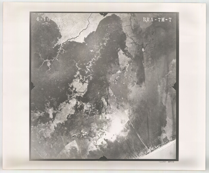

Print $20.00
- Digital $50.00
Flight Mission No. BRA-7M, Frame 7, Jefferson County
1953
Size 18.7 x 22.5 inches
Map/Doc 85458
Titus County Sketch File 14
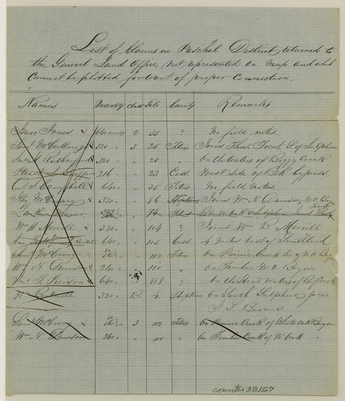

Print $4.00
- Digital $50.00
Titus County Sketch File 14
Size 9.7 x 8.3 inches
Map/Doc 38157
Liberty County Rolled Sketch P

Print $33.00
- Digital $50.00
Liberty County Rolled Sketch P
Size 10.3 x 16.5 inches
Map/Doc 46545
![64008, [Galveston, Harrisburg & San Antonio through El Paso County], General Map Collection](https://historictexasmaps.com/wmedia_w1800h1800/maps/64008.tif.jpg)