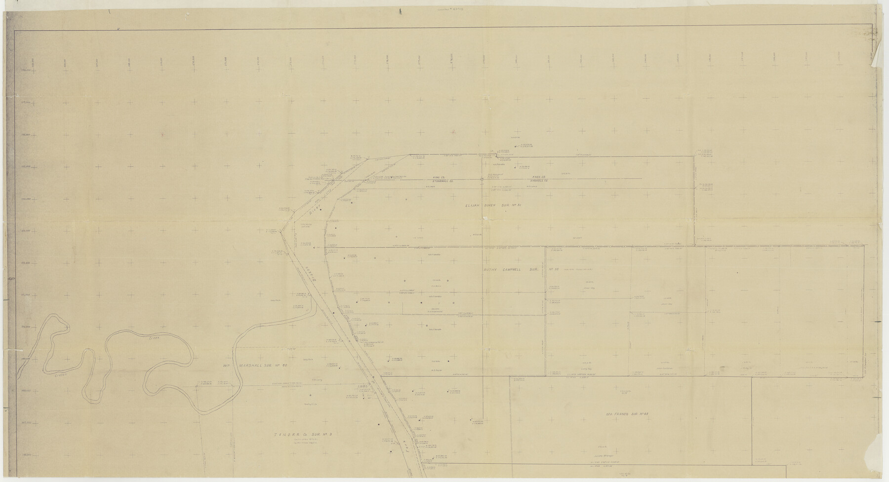
Stonewall County Rolled Sketch 20
[Map of area in NE part of Stonewall County along Brazos River]
-
Map/Doc
63915
-
Collection
General Map Collection
-
Object Dates
1951 (Creation Date)
1951/12/4 (File Date)
-
People and Organizations
D.W. Boren (Surveyor/Engineer)
-
Counties
Stonewall Haskell Knox
-
Subjects
Surveying Rolled Sketch
-
Height x Width
30.1 x 55.4 inches
76.5 x 140.7 cm
-
Medium
blueprint/diazo
-
Comments
See Stonewall County Rolled Sketch 20 (49129) for other half of this sketch.
Related maps
Stonewall County Rolled Sketch 20

Print $40.00
- Digital $50.00
Stonewall County Rolled Sketch 20
Size 36.7 x 55.7 inches
Map/Doc 49129
Part of: General Map Collection
Flight Mission No. DIX-6P, Frame 130, Aransas County

Print $20.00
- Digital $50.00
Flight Mission No. DIX-6P, Frame 130, Aransas County
1956
Size 19.3 x 22.9 inches
Map/Doc 83836
Cooke County Working Sketch 12

Print $20.00
- Digital $50.00
Cooke County Working Sketch 12
1944
Size 25.2 x 23.0 inches
Map/Doc 68249
Flight Mission No. DQO-8K, Frame 63, Galveston County

Print $20.00
- Digital $50.00
Flight Mission No. DQO-8K, Frame 63, Galveston County
1952
Size 18.6 x 22.3 inches
Map/Doc 85167
Cottle County Rolled Sketch 11

Print $20.00
- Digital $50.00
Cottle County Rolled Sketch 11
1927
Size 31.6 x 24.1 inches
Map/Doc 5568
Anderson County Working Sketch 32

Print $20.00
- Digital $50.00
Anderson County Working Sketch 32
1966
Size 23.7 x 21.9 inches
Map/Doc 67032
Motley County Working Sketch 2

Print $20.00
- Digital $50.00
Motley County Working Sketch 2
1895
Size 17.3 x 21.3 inches
Map/Doc 71207
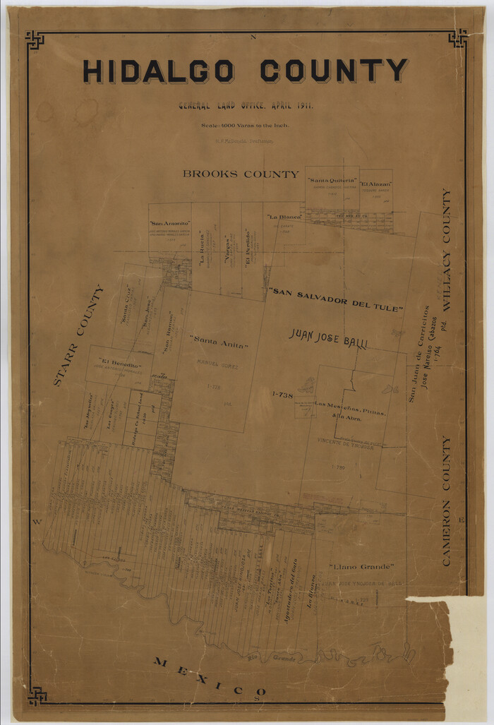
Hidalgo County
Print $20.00
- Digital $50.00
Hidalgo County
1911
Size 42.1 x 28.7 inches
Map/Doc 16850
A new and accurate map of North America (wherein the errors of all preceeding British, French and Dutch maps, respecting the rights of Great Britain, France & Spain, & the limits of each of His Majesty's provinces, are corrected)

Print $20.00
- Digital $50.00
A new and accurate map of North America (wherein the errors of all preceeding British, French and Dutch maps, respecting the rights of Great Britain, France & Spain, & the limits of each of His Majesty's provinces, are corrected)
1755
Size 18.3 x 22.1 inches
Map/Doc 97416
Panola County

Print $20.00
- Digital $50.00
Panola County
1947
Size 40.7 x 40.3 inches
Map/Doc 73257
Goliad County Rolled Sketch 2

Print $20.00
- Digital $50.00
Goliad County Rolled Sketch 2
1944
Size 33.1 x 34.6 inches
Map/Doc 9010
Location St. L. & S. W. R. R. Through Cherokee County

Print $40.00
- Digital $50.00
Location St. L. & S. W. R. R. Through Cherokee County
Size 108.6 x 39.0 inches
Map/Doc 64043
Wichita County Sketch File 20

Print $20.00
- Digital $50.00
Wichita County Sketch File 20
Size 12.0 x 22.5 inches
Map/Doc 12683
You may also like
Flight Mission No. CRK-5P, Frame 161, Refugio County

Print $20.00
- Digital $50.00
Flight Mission No. CRK-5P, Frame 161, Refugio County
1956
Size 18.5 x 22.4 inches
Map/Doc 86942
Fort Bend County Sketch File 24

Print $20.00
- Digital $50.00
Fort Bend County Sketch File 24
1890
Size 23.5 x 32.4 inches
Map/Doc 11509
Starr County Working Sketch 30

Print $20.00
- Digital $50.00
Starr County Working Sketch 30
2015
Size 24.6 x 36.6 inches
Map/Doc 93750

Survey in South Austin for Mr. R.N. Graham

Print $20.00
- Digital $50.00
Survey in South Austin for Mr. R.N. Graham
Map/Doc 93795
Terrell County Working Sketch 76

Print $20.00
- Digital $50.00
Terrell County Working Sketch 76
1982
Size 31.8 x 20.1 inches
Map/Doc 69597
Menard County Rolled Sketch 9

Print $20.00
- Digital $50.00
Menard County Rolled Sketch 9
Size 36.0 x 34.1 inches
Map/Doc 6756
Williamson County Sketch File 32

Print $6.00
- Digital $50.00
Williamson County Sketch File 32
1986
Size 11.3 x 8.5 inches
Map/Doc 40393
Cooke County Sketch File 22

Print $6.00
- Digital $50.00
Cooke County Sketch File 22
1870
Size 6.4 x 8.2 inches
Map/Doc 19267
[Sketch showing the Northwest part of Hale County and the Northeast part of Lamb County]
![93204, [Sketch showing the Northwest part of Hale County and the Northeast part of Lamb County], Twichell Survey Records](https://historictexasmaps.com/wmedia_w700/maps/93204-1.tif.jpg)
Print $40.00
- Digital $50.00
[Sketch showing the Northwest part of Hale County and the Northeast part of Lamb County]
Size 55.1 x 57.3 inches
Map/Doc 93204
San Jacinto County Working Sketch 9

Print $20.00
- Digital $50.00
San Jacinto County Working Sketch 9
1935
Size 36.1 x 42.1 inches
Map/Doc 63722
Callahan County

Print $20.00
- Digital $50.00
Callahan County
1879
Size 22.0 x 17.9 inches
Map/Doc 3362