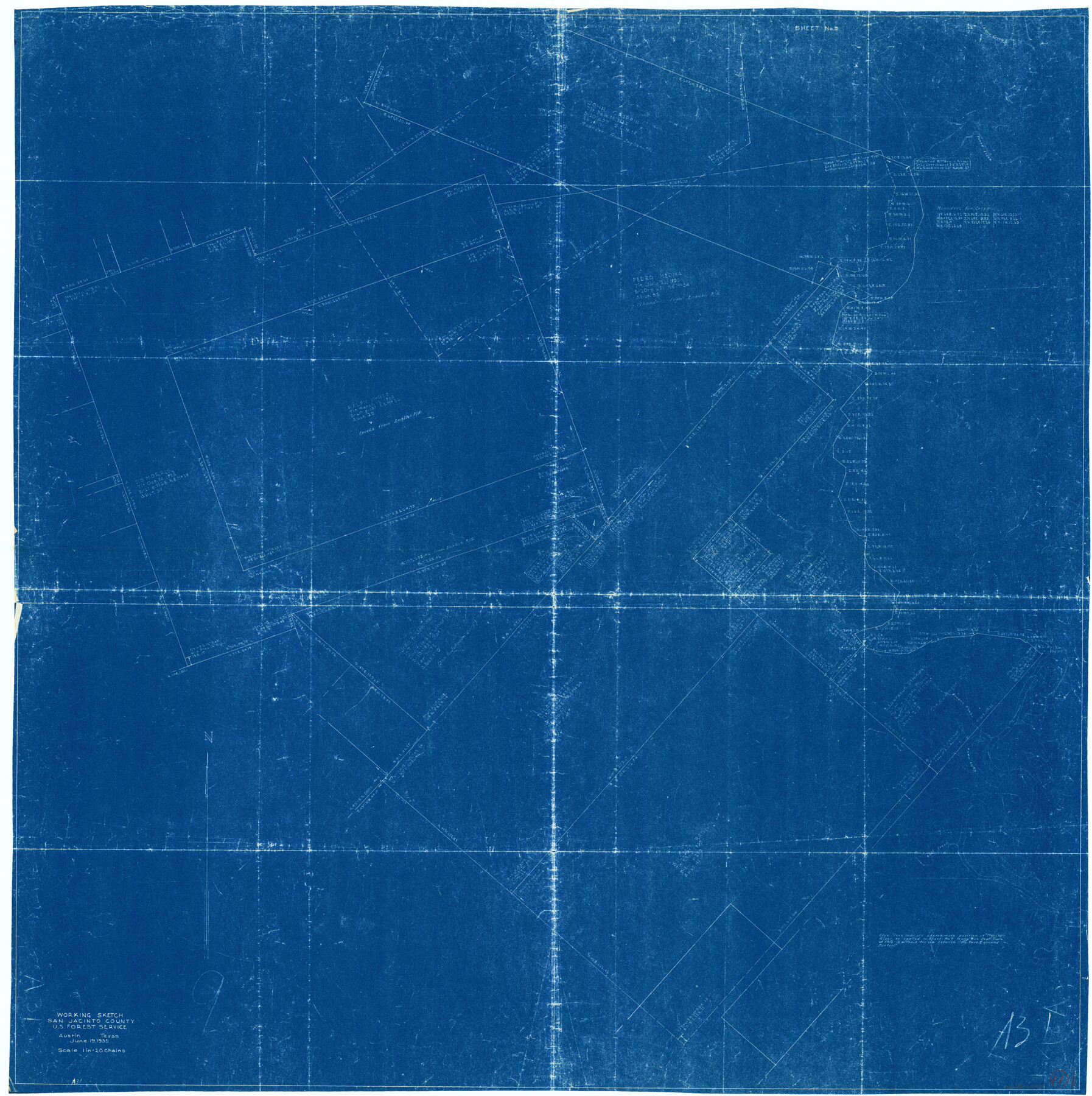
San Jacinto County Working Sketch 11
-
Map/Doc
63724
-
Collection
General Map Collection
-
Object Dates
6/19/1935 (Creation Date)
-
People and Organizations
U.S. Forest Service (Draftsman)
-
Counties
San Jacinto
-
Subjects
Surveying Working Sketch
-
Height x Width
40.1 x 40.0 inches
101.9 x 101.6 cm
-
Scale
1" = 20 chains
Part of: General Map Collection
Kinney County Rolled Sketch 19

Print $20.00
- Digital $50.00
Kinney County Rolled Sketch 19
1978
Size 20.7 x 16.8 inches
Map/Doc 6546
Kleberg County Aerial Photograph Index Sheet 5

Print $20.00
- Digital $50.00
Kleberg County Aerial Photograph Index Sheet 5
1956
Size 19.5 x 23.5 inches
Map/Doc 83722
Colorado River Project - Texas, Marshall Ford Dam right of way survey

Print $20.00
- Digital $50.00
Colorado River Project - Texas, Marshall Ford Dam right of way survey
1937
Size 22.1 x 42.0 inches
Map/Doc 3151
La Salle County Working Sketch 29

Print $20.00
- Digital $50.00
La Salle County Working Sketch 29
1955
Size 25.8 x 27.4 inches
Map/Doc 70330
Borden County Working Sketch 9

Print $20.00
- Digital $50.00
Borden County Working Sketch 9
1951
Size 24.8 x 42.3 inches
Map/Doc 67469
Red River County Rolled Sketch 6

Print $40.00
- Digital $50.00
Red River County Rolled Sketch 6
1966
Size 58.1 x 45.2 inches
Map/Doc 9843
Leon County Working Sketch 29

Print $20.00
- Digital $50.00
Leon County Working Sketch 29
1971
Size 25.8 x 33.1 inches
Map/Doc 70428
Jackson County Sketch File 30

Print $52.00
- Digital $50.00
Jackson County Sketch File 30
1944
Size 14.2 x 8.5 inches
Map/Doc 27730
Lampasas County Working Sketch 9

Print $40.00
- Digital $50.00
Lampasas County Working Sketch 9
1963
Size 32.9 x 56.3 inches
Map/Doc 70286
Current Miscellaneous File 57

Print $4.00
- Digital $50.00
Current Miscellaneous File 57
1955
Size 11.8 x 9.2 inches
Map/Doc 74050
Harbor of Brazos Santiago, Texas

Print $20.00
- Digital $50.00
Harbor of Brazos Santiago, Texas
1887
Size 27.1 x 18.3 inches
Map/Doc 72994
San Angelo/Big Spring, Texas Street Map "A Traveler's Best Friend"

San Angelo/Big Spring, Texas Street Map "A Traveler's Best Friend"
Size 37.5 x 24.9 inches
Map/Doc 94399
You may also like
Navigation Maps of Gulf Intracoastal Waterway, Port Arthur to Brownsville, Texas

Print $4.00
- Digital $50.00
Navigation Maps of Gulf Intracoastal Waterway, Port Arthur to Brownsville, Texas
1951
Size 16.7 x 21.6 inches
Map/Doc 65447
Terrell County Working Sketch Graphic Index - sheet A

Print $20.00
- Digital $50.00
Terrell County Working Sketch Graphic Index - sheet A
1931
Size 47.9 x 39.2 inches
Map/Doc 76710
The M. K. and T., Missouri, Kansas & Texas Ry.

Print $20.00
- Digital $50.00
The M. K. and T., Missouri, Kansas & Texas Ry.
1911
Size 15.9 x 9.1 inches
Map/Doc 95809
Dimmit County Working Sketch 23

Print $20.00
- Digital $50.00
Dimmit County Working Sketch 23
1954
Size 22.5 x 23.3 inches
Map/Doc 68684
Cottle County Working Sketch 22

Print $40.00
- Digital $50.00
Cottle County Working Sketch 22
1982
Size 44.0 x 75.0 inches
Map/Doc 68332
Map of Denton County

Print $20.00
- Digital $50.00
Map of Denton County
1897
Size 42.7 x 39.5 inches
Map/Doc 4932
[Sketch showing H. T. & B. RR. Co. Sections 125 and 126, B. H. Epperson, Mary Fury, Henry Rogers and Wm. H. Sergeant]
![90882, [Sketch showing H. T. & B. RR. Co. Sections 125 and 126, B. H. Epperson, Mary Fury, Henry Rogers and Wm. H. Sergeant], Twichell Survey Records](https://historictexasmaps.com/wmedia_w700/maps/90882-1.tif.jpg)
Print $20.00
- Digital $50.00
[Sketch showing H. T. & B. RR. Co. Sections 125 and 126, B. H. Epperson, Mary Fury, Henry Rogers and Wm. H. Sergeant]
Size 14.5 x 19.4 inches
Map/Doc 90882
Flight Mission No. DAG-17K, Frame 138, Matagorda County

Print $20.00
- Digital $50.00
Flight Mission No. DAG-17K, Frame 138, Matagorda County
1952
Size 18.5 x 22.2 inches
Map/Doc 86355
Hardeman County Sketch File 4

Print $6.00
- Digital $50.00
Hardeman County Sketch File 4
Size 9.3 x 8.2 inches
Map/Doc 24991
Terrell County Working Sketch 61

Print $20.00
- Digital $50.00
Terrell County Working Sketch 61
1962
Size 20.3 x 34.3 inches
Map/Doc 69582
Dallas County Boundary File 5a

Print $4.00
- Digital $50.00
Dallas County Boundary File 5a
Size 4.9 x 8.6 inches
Map/Doc 52182
Colorado River, Willow Creek Valley Sheet[/Near Kirtley, Texas Mapped in Cooperation with Commissioner's Court of Fayette Co.]
![65322, Colorado River, Willow Creek Valley Sheet[/Near Kirtley, Texas Mapped in Cooperation with Commissioner's Court of Fayette Co.], General Map Collection](https://historictexasmaps.com/wmedia_w700/maps/65322.tif.jpg)
Print $20.00
- Digital $50.00
Colorado River, Willow Creek Valley Sheet[/Near Kirtley, Texas Mapped in Cooperation with Commissioner's Court of Fayette Co.]
1938
Size 38.2 x 40.8 inches
Map/Doc 65322