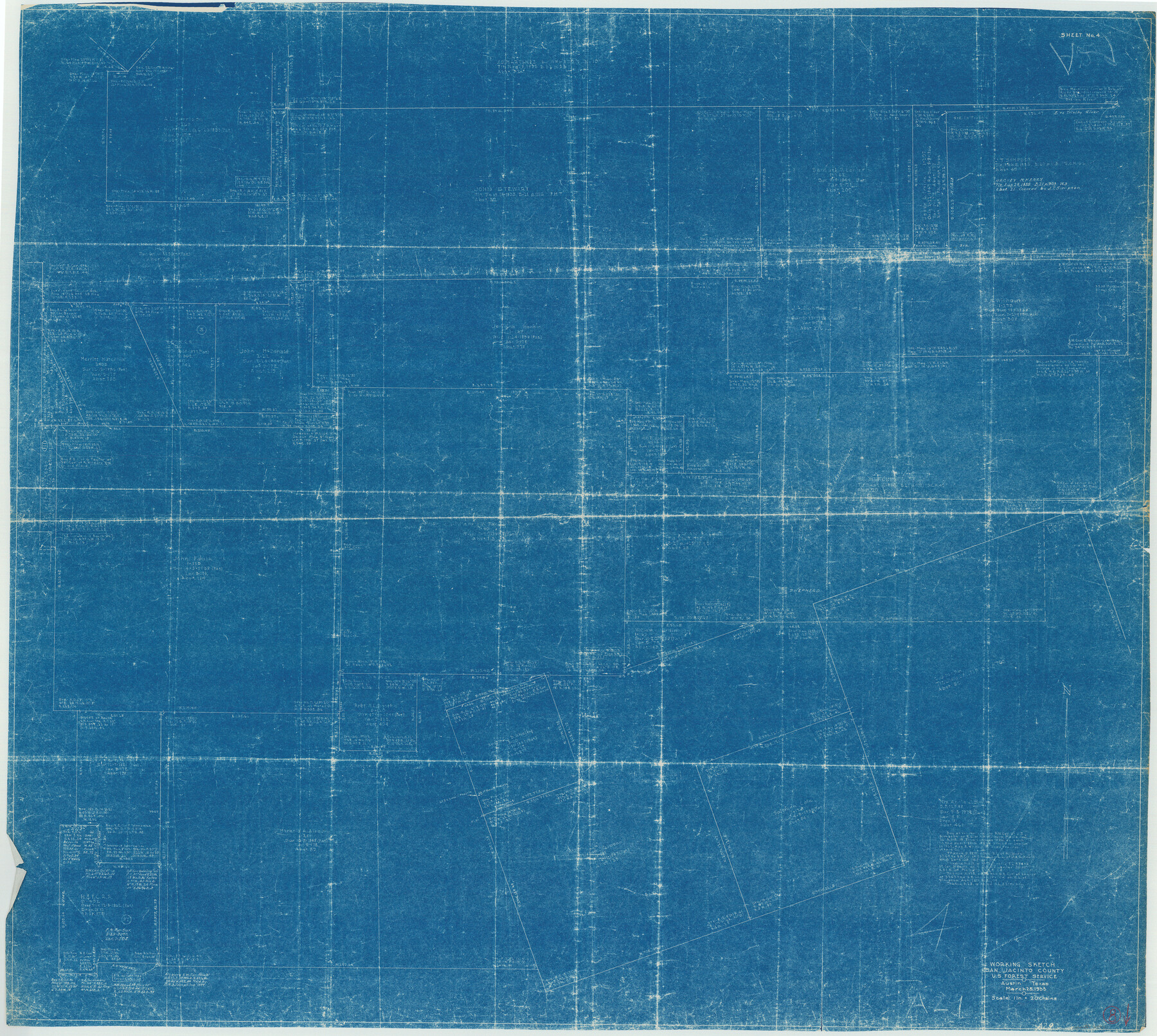
San Jacinto County Working Sketch 8
-
Map/Doc
63721
-
Collection
General Map Collection
-
Object Dates
3/25/1935 (Creation Date)
-
People and Organizations
U.S. Forest Service (Draftsman)
-
Counties
San Jacinto
-
Subjects
Surveying Working Sketch
-
Height x Width
38.4 x 42.9 inches
97.5 x 109.0 cm
-
Scale
1" = 20 chains
Part of: General Map Collection
Hays County Sketch File A

Print $6.00
- Digital $50.00
Hays County Sketch File A
1881
Size 10.8 x 8.4 inches
Map/Doc 26186
San Augustine County Rolled Sketch 2

Print $20.00
- Digital $50.00
San Augustine County Rolled Sketch 2
1947
Size 29.1 x 23.1 inches
Map/Doc 7554
Dickens County Sketch File 3

Print $6.00
- Digital $50.00
Dickens County Sketch File 3
1880
Size 6.9 x 6.4 inches
Map/Doc 20959
Baylor County Sketch File 19

Print $4.00
- Digital $50.00
Baylor County Sketch File 19
1885
Size 11.5 x 8.8 inches
Map/Doc 14193
Real County Working Sketch 67

Print $20.00
- Digital $50.00
Real County Working Sketch 67
1970
Size 21.2 x 16.4 inches
Map/Doc 71959
Liberty County Rolled Sketch M

Print $40.00
- Digital $50.00
Liberty County Rolled Sketch M
1953
Size 23.6 x 56.6 inches
Map/Doc 10651
Refugio County Working Sketch 13

Print $20.00
- Digital $50.00
Refugio County Working Sketch 13
1961
Size 23.8 x 29.8 inches
Map/Doc 63522
Flight Mission No. BRE-1P, Frame 30, Nueces County

Print $20.00
- Digital $50.00
Flight Mission No. BRE-1P, Frame 30, Nueces County
1956
Size 18.4 x 22.3 inches
Map/Doc 86626
Pecos County Working Sketch 35

Print $20.00
- Digital $50.00
Pecos County Working Sketch 35
1939
Size 32.5 x 26.7 inches
Map/Doc 71507
Jefferson County Sketch File 48

Print $20.00
- Digital $50.00
Jefferson County Sketch File 48
1875
Size 19.8 x 21.0 inches
Map/Doc 11882
Map of the City of Galveston Situated on the East end of Galveston Island

Print $20.00
- Digital $50.00
Map of the City of Galveston Situated on the East end of Galveston Island
1838
Size 25.8 x 43.0 inches
Map/Doc 73628
Burnet County Sketch File 31

Print $4.00
- Digital $50.00
Burnet County Sketch File 31
1875
Size 12.7 x 8.1 inches
Map/Doc 16748
You may also like
[Working Sketch Showing Southwest Part of the County]
![91117, [Working Sketch Showing Southwest Part of the County], Twichell Survey Records](https://historictexasmaps.com/wmedia_w700/maps/91117-1.tif.jpg)
Print $2.00
- Digital $50.00
[Working Sketch Showing Southwest Part of the County]
1886
Size 14.9 x 9.0 inches
Map/Doc 91117
Kerr County Working Sketch 20

Print $20.00
- Digital $50.00
Kerr County Working Sketch 20
1960
Size 37.1 x 41.5 inches
Map/Doc 70051
Brewster County Rolled Sketch 85

Print $20.00
- Digital $50.00
Brewster County Rolled Sketch 85
1946
Size 30.4 x 22.8 inches
Map/Doc 5246
Throckmorton County Sketch File 2

Print $20.00
- Digital $50.00
Throckmorton County Sketch File 2
Size 22.1 x 26.2 inches
Map/Doc 12431
Flight Mission No. DQN-2K, Frame 88, Calhoun County

Print $20.00
- Digital $50.00
Flight Mission No. DQN-2K, Frame 88, Calhoun County
1953
Size 18.6 x 22.3 inches
Map/Doc 84278
Burnet County Sketch File 27b

Print $7.00
- Digital $50.00
Burnet County Sketch File 27b
1876
Size 10.3 x 8.1 inches
Map/Doc 16737
Houston Ship Channel, Alexander Island to Carpenter Bayou

Print $40.00
- Digital $50.00
Houston Ship Channel, Alexander Island to Carpenter Bayou
1992
Size 35.3 x 49.3 inches
Map/Doc 69917
[G. C. & S. F. Ry. Co. Block H, E. L. & R. R. Ry. Co. Block D7 and vicinity]
![91864, [G. C. & S. F. Ry. Co. Block H, E. L. & R. R. Ry. Co. Block D7 and vicinity], Twichell Survey Records](https://historictexasmaps.com/wmedia_w700/maps/91864-1.tif.jpg)
Print $20.00
- Digital $50.00
[G. C. & S. F. Ry. Co. Block H, E. L. & R. R. Ry. Co. Block D7 and vicinity]
Size 15.0 x 18.5 inches
Map/Doc 91864
Live Oak County Boundary File 1

Print $24.00
- Digital $50.00
Live Oak County Boundary File 1
Size 9.0 x 4.2 inches
Map/Doc 56387
Newton County Sketch File 4c

Print $4.00
- Digital $50.00
Newton County Sketch File 4c
Size 7.4 x 8.2 inches
Map/Doc 32366
A Map of Louisiana and Mexico

Print $20.00
- Digital $50.00
A Map of Louisiana and Mexico
1820
Size 43.8 x 32.9 inches
Map/Doc 94945
Val Verde County Sketch File 18

Print $8.00
- Digital $50.00
Val Verde County Sketch File 18
1883
Size 13.1 x 8.4 inches
Map/Doc 39225