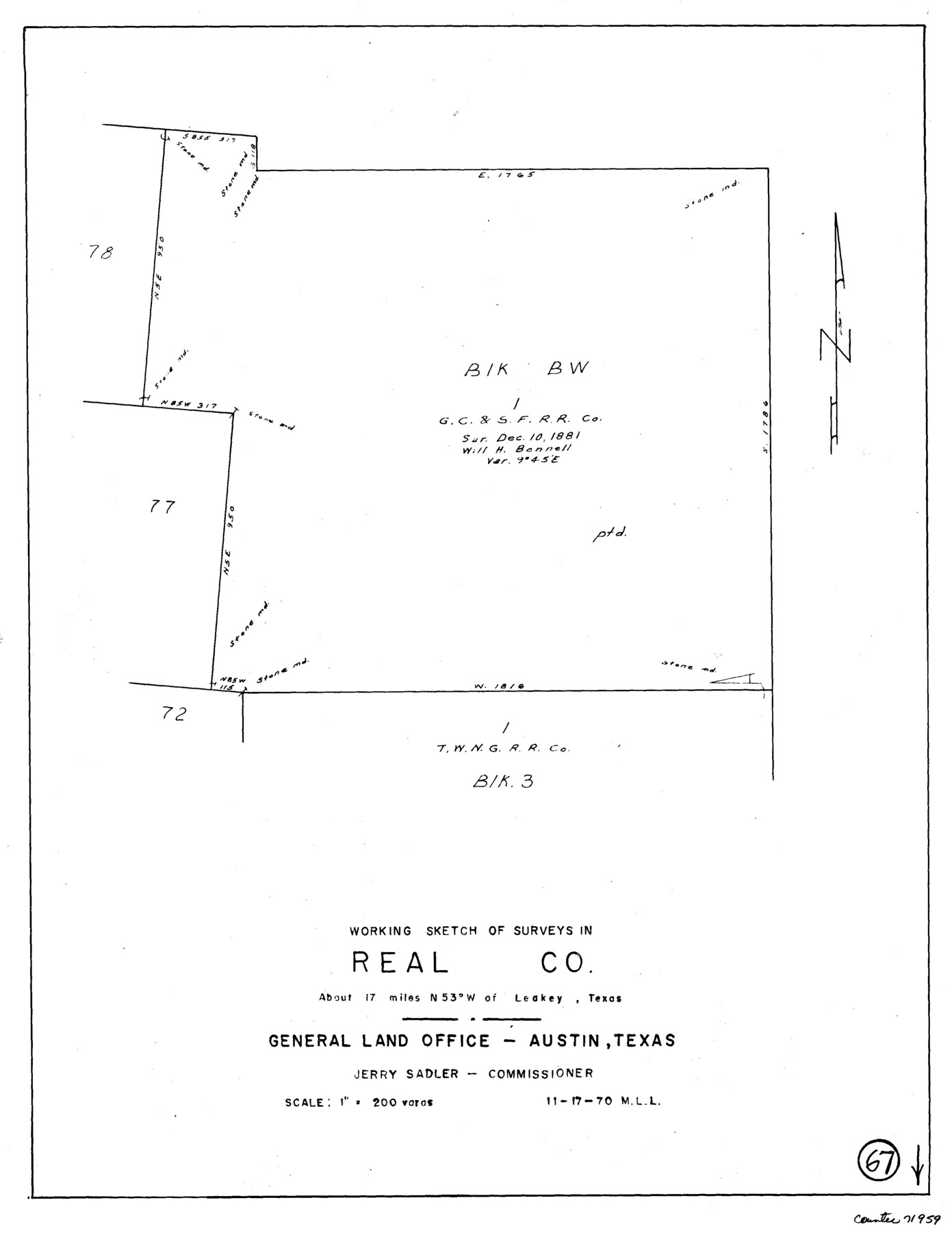
Real County Working Sketch 67
-
Map/Doc
71959
-
Collection
General Map Collection
-
Object Dates
11/17/1970 (Creation Date)
-
People and Organizations
M. L. Liles (Draftsman)
-
Counties
Real
-
Subjects
Surveying Working Sketch
-
Height x Width
21.2 x 16.4 inches
53.9 x 41.7 cm
-
Scale
1" = 200 varas
Part of: General Map Collection
San Jacinto County Boundary File 1

Print $6.00
- Digital $50.00
San Jacinto County Boundary File 1
Size 9.6 x 8.4 inches
Map/Doc 58548
Corpus Christi Bay

Print $20.00
- Digital $50.00
Corpus Christi Bay
1971
Size 36.4 x 47.4 inches
Map/Doc 73472
Stonewall County

Print $20.00
- Digital $50.00
Stonewall County
1933
Size 47.6 x 39.5 inches
Map/Doc 73295
Flight Mission No. CRC-2R, Frame 63, Chambers County

Print $20.00
- Digital $50.00
Flight Mission No. CRC-2R, Frame 63, Chambers County
1956
Size 18.8 x 22.4 inches
Map/Doc 84734
Flight Mission No. BQR-9K, Frame 8, Brazoria County

Print $20.00
- Digital $50.00
Flight Mission No. BQR-9K, Frame 8, Brazoria County
1952
Size 18.6 x 22.4 inches
Map/Doc 84037

Trinity County Sketch File 19

Print $20.00
- Digital $50.00
Trinity County Sketch File 19
Size 16.6 x 16.7 inches
Map/Doc 12484
Pecos County Working Sketch 35

Print $20.00
- Digital $50.00
Pecos County Working Sketch 35
1939
Size 32.5 x 26.7 inches
Map/Doc 71507
San Patricio County Sketch File 34

Print $4.00
- Digital $50.00
San Patricio County Sketch File 34
1961
Size 11.4 x 8.8 inches
Map/Doc 36119
Archer County Working Sketch 22

Print $20.00
- Digital $50.00
Archer County Working Sketch 22
1980
Size 36.4 x 38.0 inches
Map/Doc 67163
Val Verde County Rolled Sketch 3X

Print $20.00
- Digital $50.00
Val Verde County Rolled Sketch 3X
Size 27.9 x 30.9 inches
Map/Doc 8107
Harris County Working Sketch 71

Print $20.00
- Digital $50.00
Harris County Working Sketch 71
1957
Size 26.8 x 42.3 inches
Map/Doc 65963
You may also like
[Leagues 152 and 153]
![90287, [Leagues 152 and 153], Twichell Survey Records](https://historictexasmaps.com/wmedia_w700/maps/90287-1.tif.jpg)
Print $20.00
- Digital $50.00
[Leagues 152 and 153]
Size 16.4 x 22.4 inches
Map/Doc 90287
Murphy and Bolanz' Index Map of Greater Dallas

Print $20.00
- Digital $50.00
Murphy and Bolanz' Index Map of Greater Dallas
1911
Size 20.3 x 18.3 inches
Map/Doc 96794
Willacy County Sketch File 1a

Print $272.00
- Digital $50.00
Willacy County Sketch File 1a
1977
Size 8.3 x 3.7 inches
Map/Doc 40239

Hardin County Sketch File 35

Print $24.00
- Digital $50.00
Hardin County Sketch File 35
Size 9.2 x 8.4 inches
Map/Doc 25175
Flight Mission No. BRE-2P, Frame 45, Nueces County

Print $20.00
- Digital $50.00
Flight Mission No. BRE-2P, Frame 45, Nueces County
1956
Size 18.6 x 22.6 inches
Map/Doc 86747
Aransas County NRC Article 33.136 Sketch 20

Print $22.00
- Digital $50.00
Aransas County NRC Article 33.136 Sketch 20
2022
Map/Doc 96876
[Capitol Leagues in Lamb County]
![91002, [Capitol Leagues in Lamb County], Twichell Survey Records](https://historictexasmaps.com/wmedia_w700/maps/91002-1.tif.jpg)
Print $20.00
- Digital $50.00
[Capitol Leagues in Lamb County]
Size 19.5 x 23.2 inches
Map/Doc 91002
Ochiltree County Boundary File 5c

Print $30.00
- Digital $50.00
Ochiltree County Boundary File 5c
Size 11.2 x 8.7 inches
Map/Doc 57699
Pecos County Sketch File 1

Print $20.00
- Digital $50.00
Pecos County Sketch File 1
Size 8.9 x 4.0 inches
Map/Doc 33642
Sutton County Working Sketch 60

Print $20.00
- Digital $50.00
Sutton County Working Sketch 60
1959
Size 29.1 x 34.6 inches
Map/Doc 62403
Harris County Sketch File 59a

Print $20.00
- Digital $50.00
Harris County Sketch File 59a
Size 25.1 x 40.1 inches
Map/Doc 10479