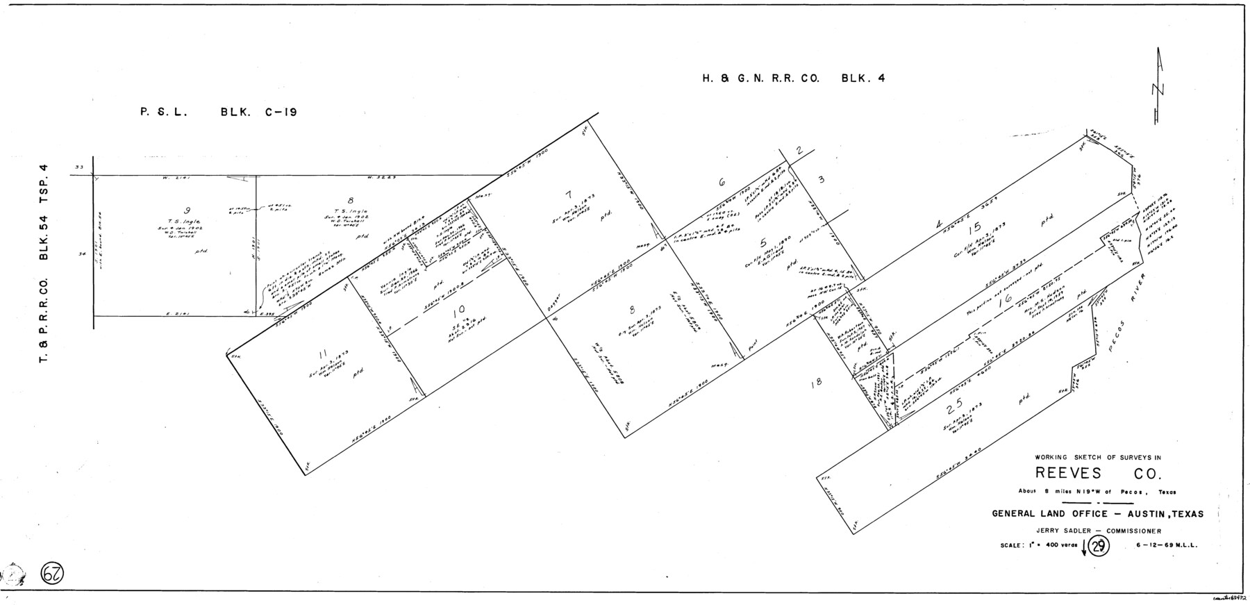
Reeves County Working Sketch 29
-
Map/Doc
63472
-
Collection
General Map Collection
-
Object Dates
6/12/1969 (Creation Date)
-
People and Organizations
M. L. Liles (Draftsman)
-
Counties
Reeves
-
Subjects
Surveying Working Sketch
-
Height x Width
20.1 x 41.5 inches
51.1 x 105.4 cm
-
Scale
1" = 400 varas
Part of: General Map Collection
Louisiana and Texas Intracoastal Waterway - Dredging Tributary Channel, Port Aransas to Aransas Pass, Texas

Print $20.00
- Digital $50.00
Louisiana and Texas Intracoastal Waterway - Dredging Tributary Channel, Port Aransas to Aransas Pass, Texas
1940
Size 31.1 x 42.3 inches
Map/Doc 61820

Coke County Boundary File 2

Print $64.00
- Digital $50.00
Coke County Boundary File 2
Size 49.0 x 9.0 inches
Map/Doc 51580

Montgomery County Working Sketch 72

Print $20.00
- Digital $50.00
Montgomery County Working Sketch 72
1979
Size 17.2 x 32.4 inches
Map/Doc 71179
Harris County Sketch File 20a

Print $4.00
- Digital $50.00
Harris County Sketch File 20a
Size 8.8 x 14.4 inches
Map/Doc 25371
Flight Mission No. DQN-5K, Frame 59, Calhoun County

Print $20.00
- Digital $50.00
Flight Mission No. DQN-5K, Frame 59, Calhoun County
1953
Size 18.7 x 22.3 inches
Map/Doc 84402
Brazos River, Brazos River Sheet 7

Print $20.00
- Digital $50.00
Brazos River, Brazos River Sheet 7
1926
Size 22.8 x 27.8 inches
Map/Doc 69671
Angelina County Working Sketch 5

Print $20.00
- Digital $50.00
Angelina County Working Sketch 5
1912
Size 22.0 x 26.2 inches
Map/Doc 67085
Jefferson County Rolled Sketch 13

Print $20.00
- Digital $50.00
Jefferson County Rolled Sketch 13
Size 18.8 x 27.2 inches
Map/Doc 6385
Mills County Working Sketch 28

Print $40.00
- Digital $50.00
Mills County Working Sketch 28
2006
Size 42.0 x 67.4 inches
Map/Doc 85385
Carson County Sketch File 3

Print $32.00
- Digital $50.00
Carson County Sketch File 3
1888
Size 5.4 x 8.4 inches
Map/Doc 17335
You may also like
[Galveston, Harrisburg & San Antonio Railroad from Cuero to Stockdale]
![64183, [Galveston, Harrisburg & San Antonio Railroad from Cuero to Stockdale], General Map Collection](https://historictexasmaps.com/wmedia_w700/maps/64183-GC.tif.jpg)
Print $20.00
- Digital $50.00
[Galveston, Harrisburg & San Antonio Railroad from Cuero to Stockdale]
1906
Size 13.6 x 34.0 inches
Map/Doc 64183
Denton County Working Sketch 27

Print $20.00
- Digital $50.00
Denton County Working Sketch 27
1996
Size 41.3 x 35.3 inches
Map/Doc 68632
Foard County Boundary File 1

Print $8.00
- Digital $50.00
Foard County Boundary File 1
Size 9.1 x 4.1 inches
Map/Doc 53500
Flight Mission No. BQR-13K, Frame 27, Brazoria County

Print $20.00
- Digital $50.00
Flight Mission No. BQR-13K, Frame 27, Brazoria County
1952
Size 18.7 x 22.5 inches
Map/Doc 84075
Ward County Rolled Sketch 19

Print $20.00
- Digital $50.00
Ward County Rolled Sketch 19
1949
Size 20.5 x 26.7 inches
Map/Doc 8161
Garza County Rolled Sketch 6E

Print $20.00
- Digital $50.00
Garza County Rolled Sketch 6E
1913
Size 19.2 x 15.6 inches
Map/Doc 5999
Bandera County Rolled Sketch 13

Print $20.00
- Digital $50.00
Bandera County Rolled Sketch 13
2018
Size 24.1 x 20.5 inches
Map/Doc 95305
Gillespie County Working Sketch Graphic Index

Print $20.00
- Digital $50.00
Gillespie County Working Sketch Graphic Index
1945
Size 38.0 x 47.4 inches
Map/Doc 76553
Angelina County Sketch File 15g

Print $4.00
- Digital $50.00
Angelina County Sketch File 15g
1882
Size 10.9 x 8.4 inches
Map/Doc 12996
Trinity County Sketch File 34

Print $20.00
- Digital $50.00
Trinity County Sketch File 34
Size 15.9 x 20.3 inches
Map/Doc 12491
[Sketch for Mineral Application 26501 - Sabine River, T. A. Oldhausen]
![2832, [Sketch for Mineral Application 26501 - Sabine River, T. A. Oldhausen], General Map Collection](https://historictexasmaps.com/wmedia_w700/maps/2832.tif.jpg)
Print $20.00
- Digital $50.00
[Sketch for Mineral Application 26501 - Sabine River, T. A. Oldhausen]
1931
Size 24.0 x 36.0 inches
Map/Doc 2832
Crockett County Working Sketch 64

Print $20.00
- Digital $50.00
Crockett County Working Sketch 64
1957
Size 19.0 x 25.4 inches
Map/Doc 68397