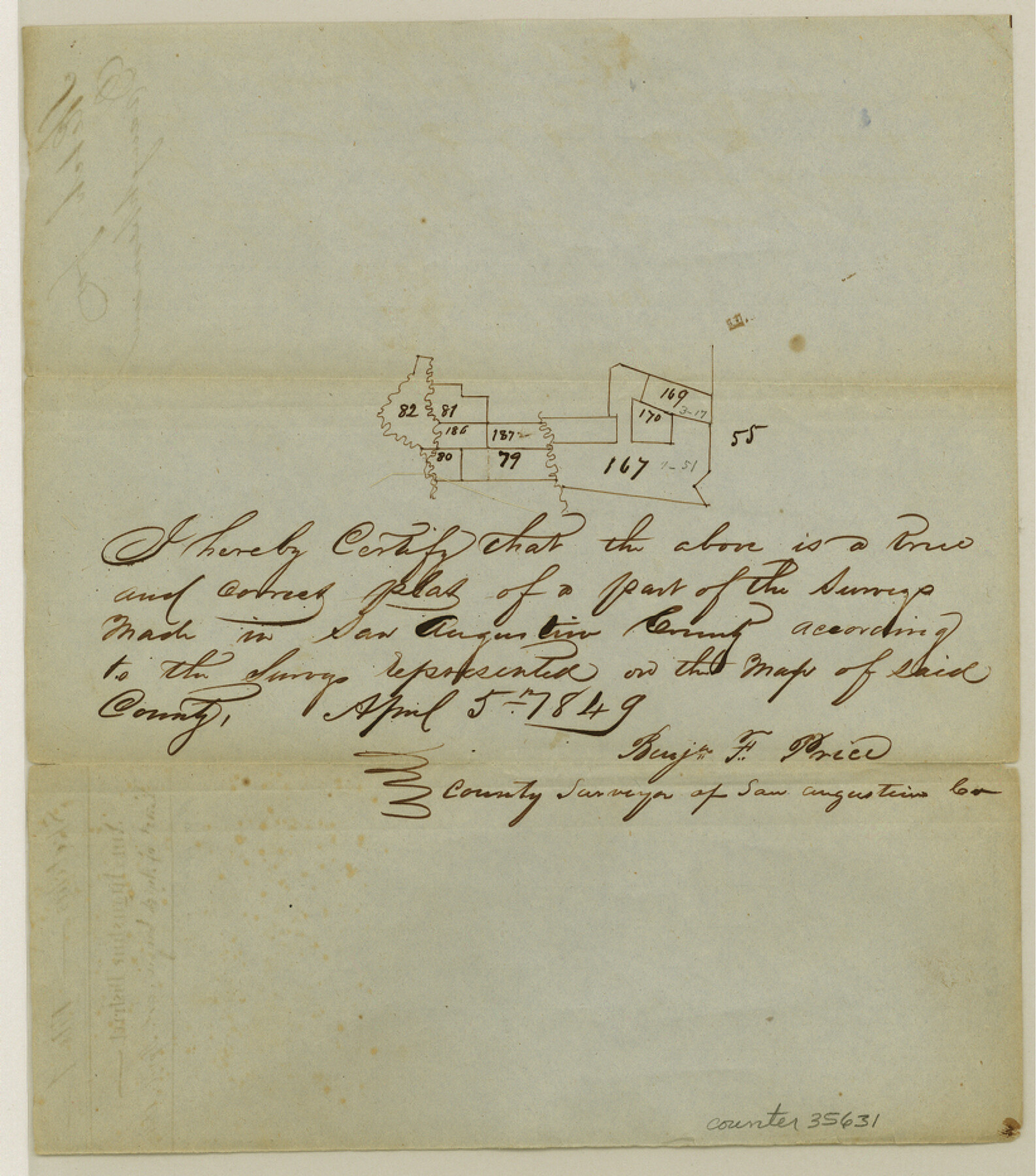
San Augustine County Sketch File 1
[Sketch of unknown area allegedly east of Ayish Bayou]
-
Map/Doc
35631
-
Collection
General Map Collection
-
Object Dates
4/5/1849 (Creation Date)
-
People and Organizations
Benjamin F. Price (Surveyor/Engineer)
-
Counties
San Augustine
-
Subjects
Surveying Sketch File
-
Height x Width
9.3 x 8.2 inches
23.6 x 20.8 cm
-
Medium
paper, manuscript
-
Features
Ayish Bayou
Part of: General Map Collection
Bexar County Sketch File 25

Print $4.00
- Digital $50.00
Bexar County Sketch File 25
1860
Size 8.9 x 8.7 inches
Map/Doc 14486

The State of Texas vs. Chas. J. Canda, et al, T. & P. Ry. Co., No. 10351

Print $522.00
- Digital $50.00
The State of Texas vs. Chas. J. Canda, et al, T. & P. Ry. Co., No. 10351
1893
Size 10.0 x 17.0 inches
Map/Doc 3048

Sabine County Working Sketch 2

Print $3.00
- Digital $50.00
Sabine County Working Sketch 2
1906
Size 12.5 x 10.8 inches
Map/Doc 63673

Nueces County Sketch File 14

Print $20.00
- Digital $50.00
Nueces County Sketch File 14
Size 18.3 x 20.8 inches
Map/Doc 42179
Crosby County Sketch File 3

Print $36.00
- Digital $50.00
Crosby County Sketch File 3
1885
Size 12.8 x 8.7 inches
Map/Doc 19992
Fort Bend County Working Sketch 24

Print $20.00
- Digital $50.00
Fort Bend County Working Sketch 24
1981
Size 27.1 x 30.5 inches
Map/Doc 69230
Reagan County Sketch File 2

Print $2.00
- Digital $50.00
Reagan County Sketch File 2
Size 10.8 x 6.6 inches
Map/Doc 34979
Jack County Working Sketch 23

Print $20.00
- Digital $50.00
Jack County Working Sketch 23
2006
Size 18.4 x 22.0 inches
Map/Doc 83606
Montgomery County Rolled Sketch 42

Print $20.00
- Digital $50.00
Montgomery County Rolled Sketch 42
1939
Size 14.1 x 20.1 inches
Map/Doc 6818
You may also like
Shackelford County Working Sketch Graphic Index

Print $20.00
- Digital $50.00
Shackelford County Working Sketch Graphic Index
1972
Size 42.2 x 36.1 inches
Map/Doc 76696
Dallas County Boundary File 6e

Print $70.00
- Digital $50.00
Dallas County Boundary File 6e
Size 16.6 x 22.5 inches
Map/Doc 52254
Gonzales County Working Sketch 13

Print $2.00
- Digital $50.00
Gonzales County Working Sketch 13
1981
Size 12.5 x 7.6 inches
Map/Doc 63229
Wood County Working Sketch 17

Print $20.00
- Digital $50.00
Wood County Working Sketch 17
Size 24.0 x 31.3 inches
Map/Doc 62017
Mappa Geographica Complectens I. Indiae Occidentalis Partem Mediam Circum Isthmum Panamensem; II. Ipsumque Isthmum; III. Ichnographiam praecipuorum locorum & portuum ad has terras pertinentium

Print $20.00
- Digital $50.00
Mappa Geographica Complectens I. Indiae Occidentalis Partem Mediam Circum Isthmum Panamensem; II. Ipsumque Isthmum; III. Ichnographiam praecipuorum locorum & portuum ad has terras pertinentium
1740
Size 24.6 x 22.6 inches
Map/Doc 93693
Presidio County Sketch File H

Print $4.00
- Digital $50.00
Presidio County Sketch File H
Size 5.8 x 9.6 inches
Map/Doc 34431
Hartley County Sketch File 2

Print $22.00
- Digital $50.00
Hartley County Sketch File 2
Size 8.9 x 13.6 inches
Map/Doc 26085
Map of San Patricio County

Print $20.00
- Digital $50.00
Map of San Patricio County
1883
Size 17.2 x 26.8 inches
Map/Doc 4017
Brazoria County Sketch File 25

Print $8.00
- Digital $50.00
Brazoria County Sketch File 25
1875
Size 8.4 x 13.2 inches
Map/Doc 15024
Wichita County Sketch File 24

Print $20.00
- Digital $50.00
Wichita County Sketch File 24
1919
Size 17.3 x 24.0 inches
Map/Doc 12684
Township No. 1 South Range No. 21 West of the Indian Meridian

Print $20.00
- Digital $50.00
Township No. 1 South Range No. 21 West of the Indian Meridian
1875
Size 19.2 x 24.5 inches
Map/Doc 75178
Tyler County Working Sketch 17

Print $20.00
- Digital $50.00
Tyler County Working Sketch 17
1962
Size 33.1 x 38.9 inches
Map/Doc 69487