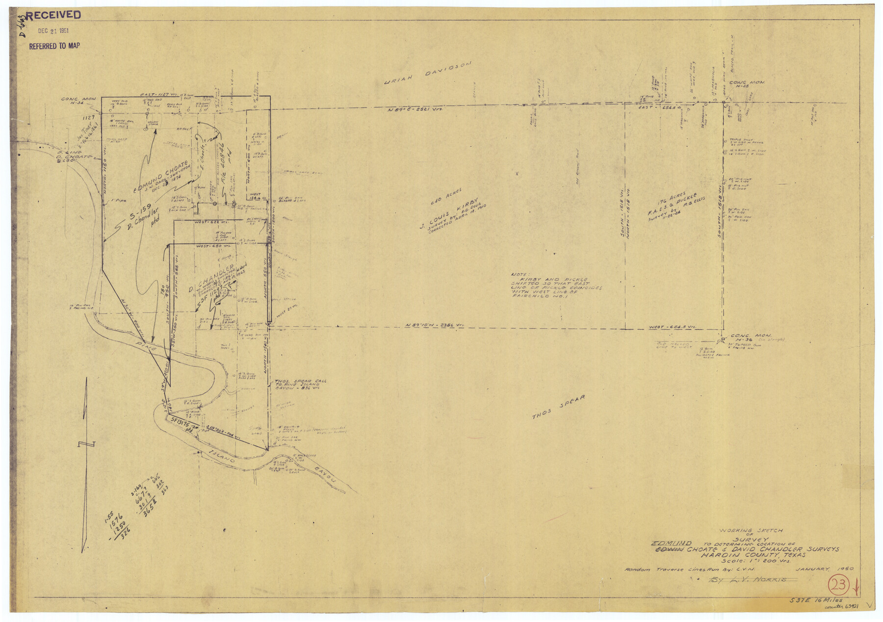
Hardin County Working Sketch 23
-
Map/Doc
63421
-
Collection
General Map Collection
-
Object Dates
1/1950 (Creation Date)
-
People and Organizations
L.V. Norris (Draftsman)
-
Counties
Hardin
-
Subjects
Surveying Working Sketch
-
Height x Width
20.7 x 29.4 inches
52.6 x 74.7 cm
-
Scale
1" = 200 varas
Part of: General Map Collection
Bell County Working Sketch 13

Print $20.00
- Digital $50.00
Bell County Working Sketch 13
1964
Size 19.6 x 18.5 inches
Map/Doc 67353
Map of the Gainesville, Henrietta & Western Railway

Print $20.00
- Digital $50.00
Map of the Gainesville, Henrietta & Western Railway
1887
Size 9.6 x 41.7 inches
Map/Doc 64482
Frio County Sketch File 3

Print $4.00
- Digital $50.00
Frio County Sketch File 3
1854
Size 8.5 x 3.6 inches
Map/Doc 23109
Jim Wells County Working Sketch 8

Print $20.00
- Digital $50.00
Jim Wells County Working Sketch 8
1947
Size 23.8 x 26.0 inches
Map/Doc 66606
Crane County Working Sketch 25

Print $20.00
- Digital $50.00
Crane County Working Sketch 25
1969
Size 33.0 x 26.3 inches
Map/Doc 68302
Zapata County Working Sketch 25

Print $40.00
- Digital $50.00
Zapata County Working Sketch 25
2009
Size 36.9 x 71.8 inches
Map/Doc 89051
Presidio County Sketch File P1

Print $4.00
- Digital $50.00
Presidio County Sketch File P1
Size 11.2 x 8.8 inches
Map/Doc 34556
Flight Mission No. BRA-17M, Frame 11, Jefferson County

Print $20.00
- Digital $50.00
Flight Mission No. BRA-17M, Frame 11, Jefferson County
1953
Size 18.4 x 22.2 inches
Map/Doc 85792
Kenedy County Rolled Sketch 14

Print $21.00
- Digital $50.00
Kenedy County Rolled Sketch 14
1951
Size 10.2 x 15.3 inches
Map/Doc 46433
Right of Way and Track Map International & Gt Northern Ry. operated by the International & Gt. Northern Ry. Co., San Antonio Division

Print $40.00
- Digital $50.00
Right of Way and Track Map International & Gt Northern Ry. operated by the International & Gt. Northern Ry. Co., San Antonio Division
1917
Size 25.9 x 57.5 inches
Map/Doc 64588

Liberty County Sketch File 57

Print $40.00
- Digital $50.00
Liberty County Sketch File 57
1928
Size 55.1 x 17.4 inches
Map/Doc 10523
You may also like
Baylor County Working Sketch 3

Print $20.00
- Digital $50.00
Baylor County Working Sketch 3
1929
Size 37.8 x 36.5 inches
Map/Doc 67288
Travis County Appraisal District Plat Map 2_2204

Print $20.00
- Digital $50.00
Travis County Appraisal District Plat Map 2_2204
Size 21.6 x 26.4 inches
Map/Doc 94201
Llano County Sketch File 16

Print $12.00
- Digital $50.00
Llano County Sketch File 16
1905
Size 12.3 x 11.3 inches
Map/Doc 30392
Gillespie County

Print $20.00
- Digital $50.00
Gillespie County
1945
Size 36.7 x 45.6 inches
Map/Doc 77289
Webb County Working Sketch 48

Print $20.00
- Digital $50.00
Webb County Working Sketch 48
1948
Size 28.5 x 41.4 inches
Map/Doc 72413
West Part Presidio Co.

Print $20.00
- Digital $50.00
West Part Presidio Co.
1974
Size 40.5 x 31.4 inches
Map/Doc 77399
The Judicial District/County of Panola. Abolished, Spring 1842

Print $20.00
The Judicial District/County of Panola. Abolished, Spring 1842
2020
Size 19.3 x 21.7 inches
Map/Doc 96342
Nueces County Sketch File 12c

Print $11.00
- Digital $50.00
Nueces County Sketch File 12c
1889
Size 12.6 x 8.2 inches
Map/Doc 32534
The Republic County of Lamar. December 26, 1842

Print $20.00
The Republic County of Lamar. December 26, 1842
2020
Size 16.4 x 21.7 inches
Map/Doc 96205
Lavaca County Boundary File 58

Print $20.00
- Digital $50.00
Lavaca County Boundary File 58
Size 8.5 x 7.1 inches
Map/Doc 56259
Goliad County Sketch File 4

Print $6.00
- Digital $50.00
Goliad County Sketch File 4
1857
Size 7.7 x 12.3 inches
Map/Doc 24216
Eastland County Rolled Sketch 14

Print $20.00
- Digital $50.00
Eastland County Rolled Sketch 14
Size 18.5 x 18.3 inches
Map/Doc 5775